Our plans are altered by the weather and the Nantahala Gorge (or how long middle of the day breaks can keep the daily mileage low)
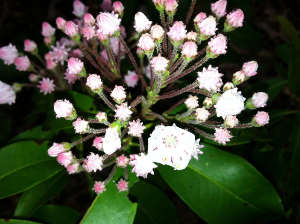
We started so early this morning X spent the first 45 minutes clearing spider webs from the trail with her face before a young macho marched by at twice our pace and thankfully took over that job. For N, a highlight was seeing our first tiny mountain laurel bloom of the trip. He was tempted just to stop and wait to watch it develop (although this flew in the face of Trovert trail rule #1 – never stop while going uphill. Slow to a crawl if you have to, but conquer the climbs by keeping moving).
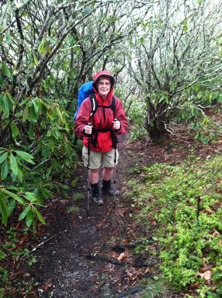
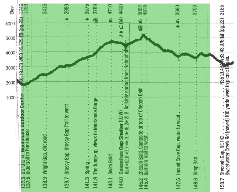
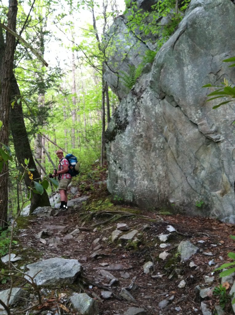
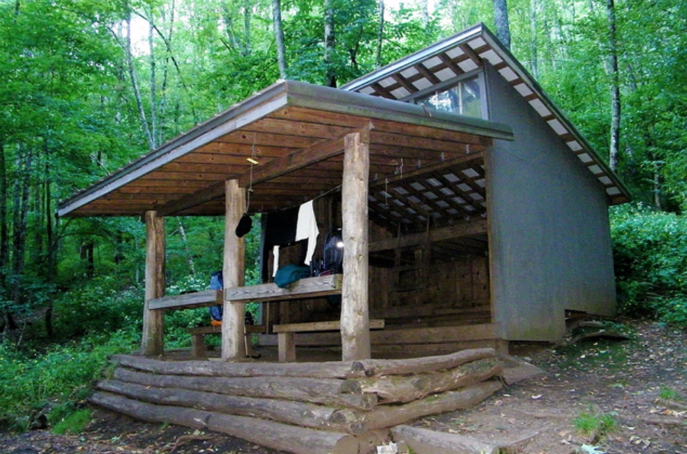
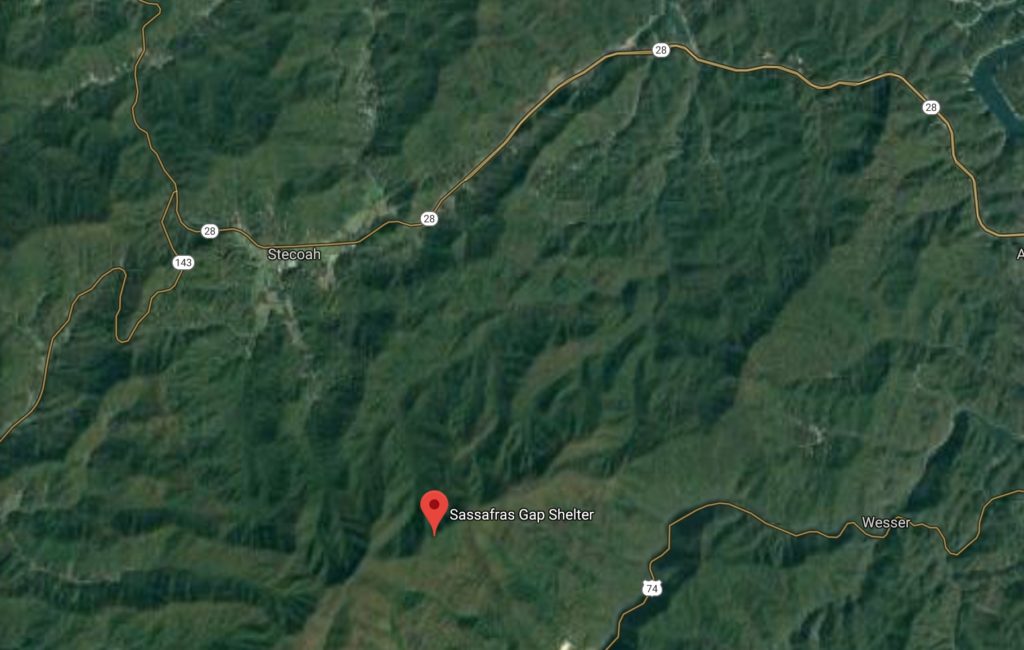
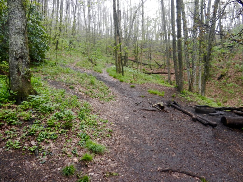
For indeed the path this morning was going uphill for the first eight miles, from NOC to the top of Swim Bald (3,000′ elevation gain), then on to Cheoah Bald (another 600′ climb). It was hard to push the early going, knowing what lay ahead. And after the first hour and a half, the rain we hoped would hold off until afternoon showed up, at first just on-again, off-again enough so that whether you chose to put on rain gear or not, it quickly became the wrong choice, and you had to stop and change clothes again. Then the rain showers became more steady and the already treacherous roots and boulder fields along the trail became even more so. By the time we reached Sassafras Gap shelter past Swim Bald we were demoralized and chilled (alternately from the rain and sweat), and knew it was time to stop and get on something dry.
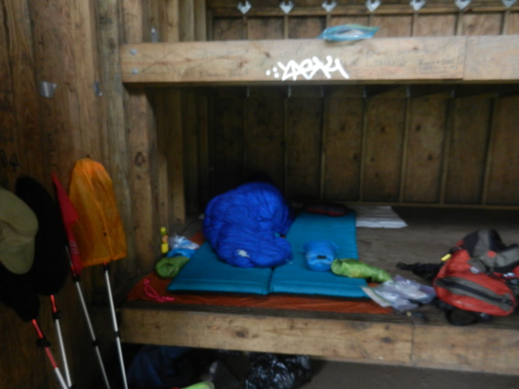
We had the place to ourselves and spread things out to dry as best they could. We decided to break out the sleeping bags, take a nap, and if this heavy rain settled in, stay here for the night (a mere 6.7 miles, quite a come-down from our planned 17 miles!).
While X napped, a young couple stopped in to have lunch out of the rain. They were south bound thru hikers who started late in 2010 as honeymooners, dealt with a lot of winter conditions, and had to leave the trail in central Virginia due to a broken tooth (him) on a frozen Snickers bar. Now they were back to finish. Why it made N’s hypothermia symptoms look downright whimpy by comparison!
By this time, X was awake and revived and the rain had stopped, so we decided to repack our gear and push on. By the time we left, the shelter was starting to fill up with other hikers also feeling the effects of the climb out of the Nantahala Gorge. And of course, the showers had started again.
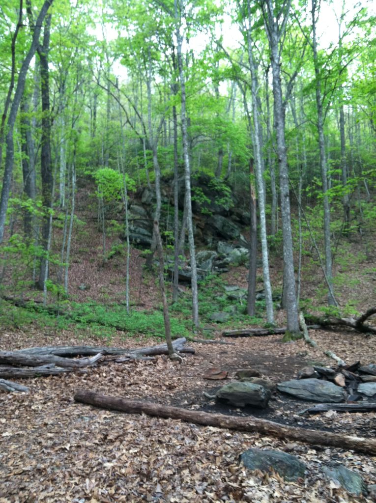
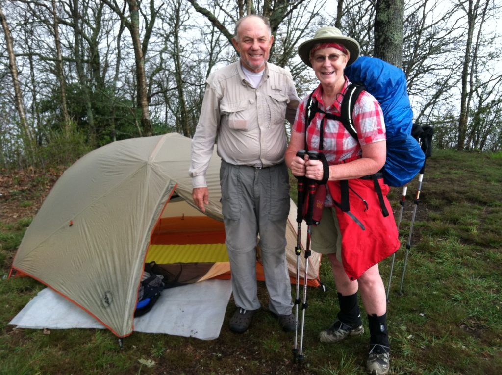
We didn’t get as far as we’d hoped, but by 6:15, the weather was clearing and we found a great little wide spot to pitch the tent on a ridge just after Simp Gap. With better weather, we’ll make up ground and get better pictures tomorrow.
From: NOC (Nantahala Outdoor Center) (NC)
To: A mile north of Simp Gap (NC)
Today's Miles: 12.0
Total Miles to Date: 149.5
[Our daily elevation profile comes from David "Awol" Miller's 2012 "The A.T. Guide," which we found to be invaluable. Get your updated copy at www.theATguide.com]
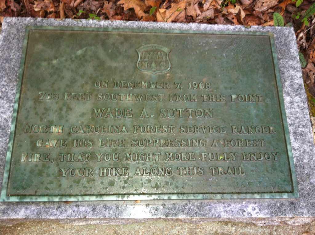
“On December 7, 1968/ 783 feet south west from this point/ Wade A. Sutton/ North Carolina Forest Service Ranger/ gave his life suppressing a forest/ fire, that you might more fully enjoy your hike along this trail.”
