Strong winds on the Shuckstack fire tower (Or how we adjusted our schedule to fit the services available at Fontana Village)
We thought we did a fine piece of hiking yesterday coming into Fontana Village, but the sad truth is we needed to have arrived at 4 p.m., rather than at 6 p.m. There just wasn’t enough time to get our town chores done before shops closed down for the day, food resupply and laundry being at the top of the list. We did get two long hot showers and two great steaks at the Inn restaurant, which put us to bed early in a pleasant frame of mind.
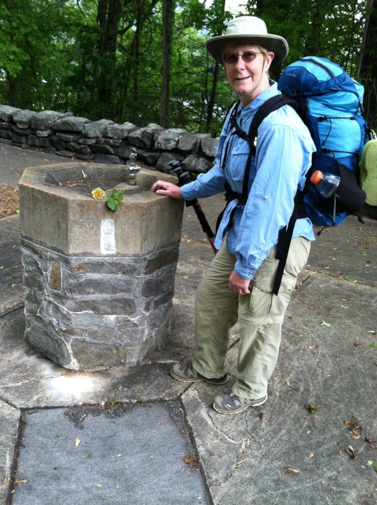
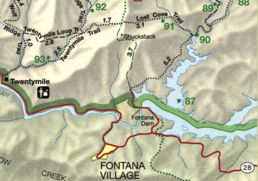
But this morning it was time to reevaluate our schedule. Studying our map and AWOL Guide, we decided to take our time and add one more day to get to Gatlinburg. We had a great breakfast, were the first customers to wash our clothes, then while we waited on the dryer, hit the post office and store. Both Shock & Awe chuckled when they saw us walk back up the hill to our room with some breakfast items to add to the resupply box we’d sent ourselves at the Inn.
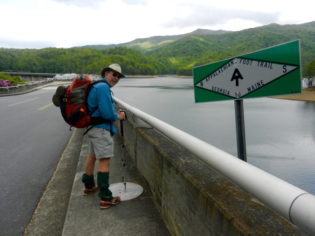
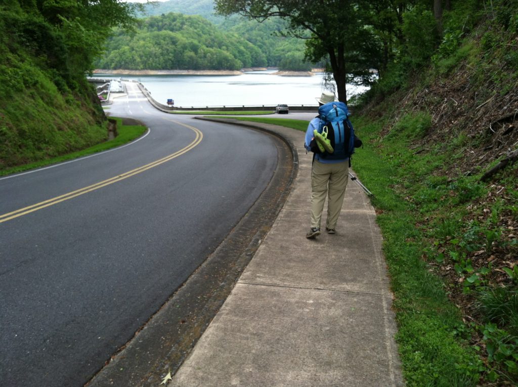
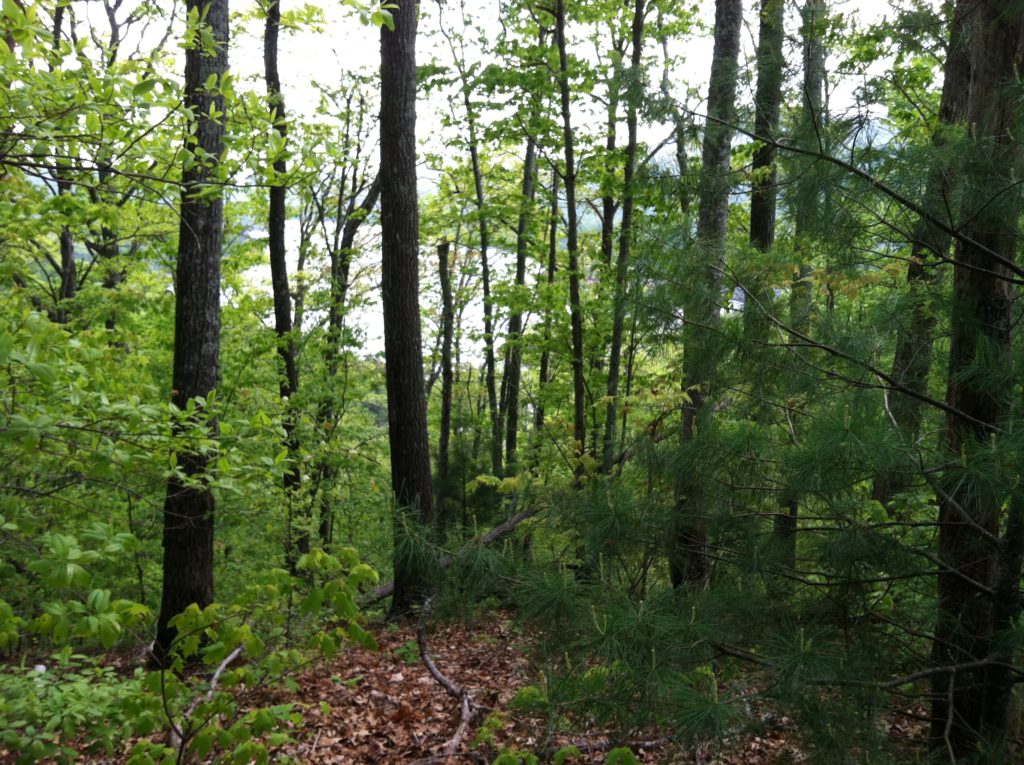
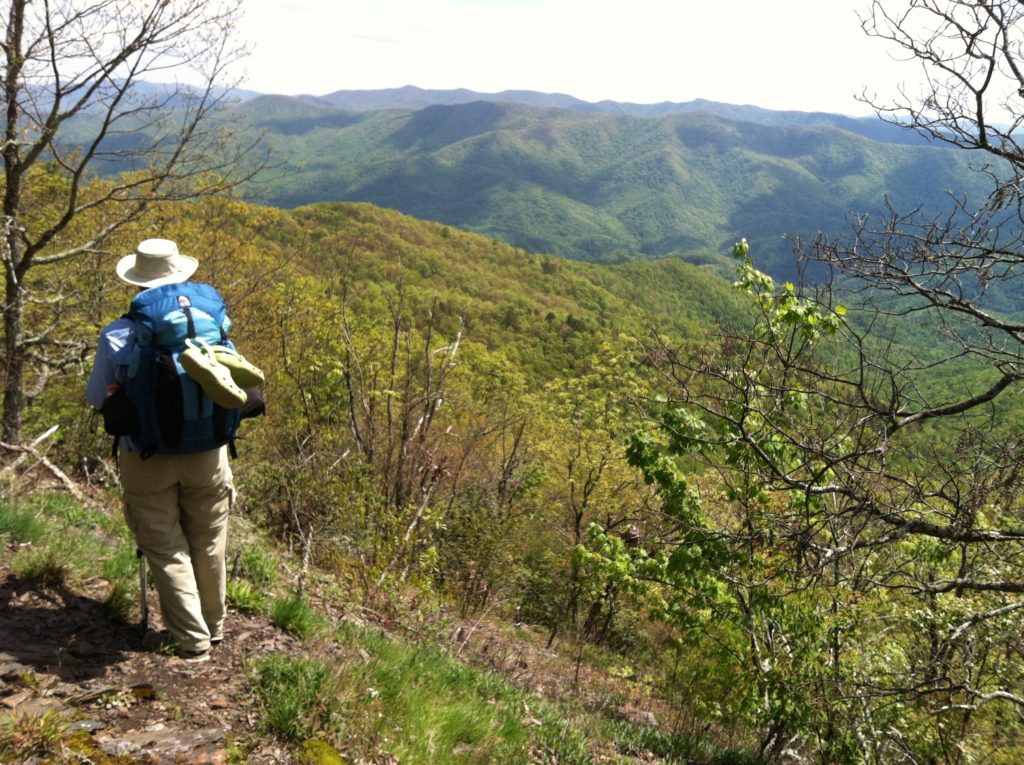
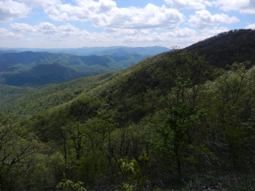
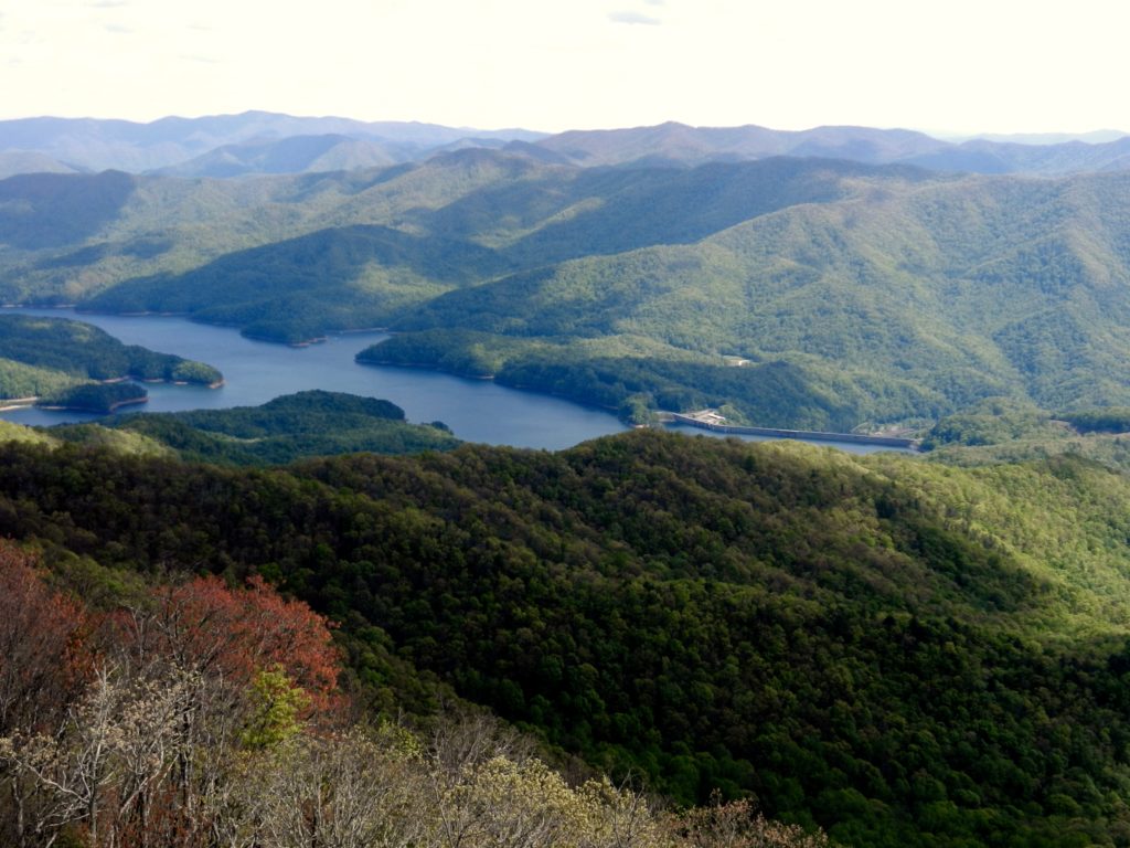
With some overall physical fatigue from our early weeks, this was our toughest day mentally. The unique experience of crossing the Fontana Dam helped some, and the trail itself was as nice a section as we’d been on, with frequent views through the early green-up down to the lake, but the unrelenting uphill climb was just steep enough to keep us asking the same two questions over and over: “Do you really think you can do this?” and “Do you really want to be out here?” This mid-day funk was worse when we were without sunlight and in the strong wind we saw all day, but improved when we were on the lee side of a hill and feeling the sun’s rays. (So, as the day’s hike continued and our spirits slowly improved, we wrote it all off to having “sunlight deficiency blahs on Day 13”.
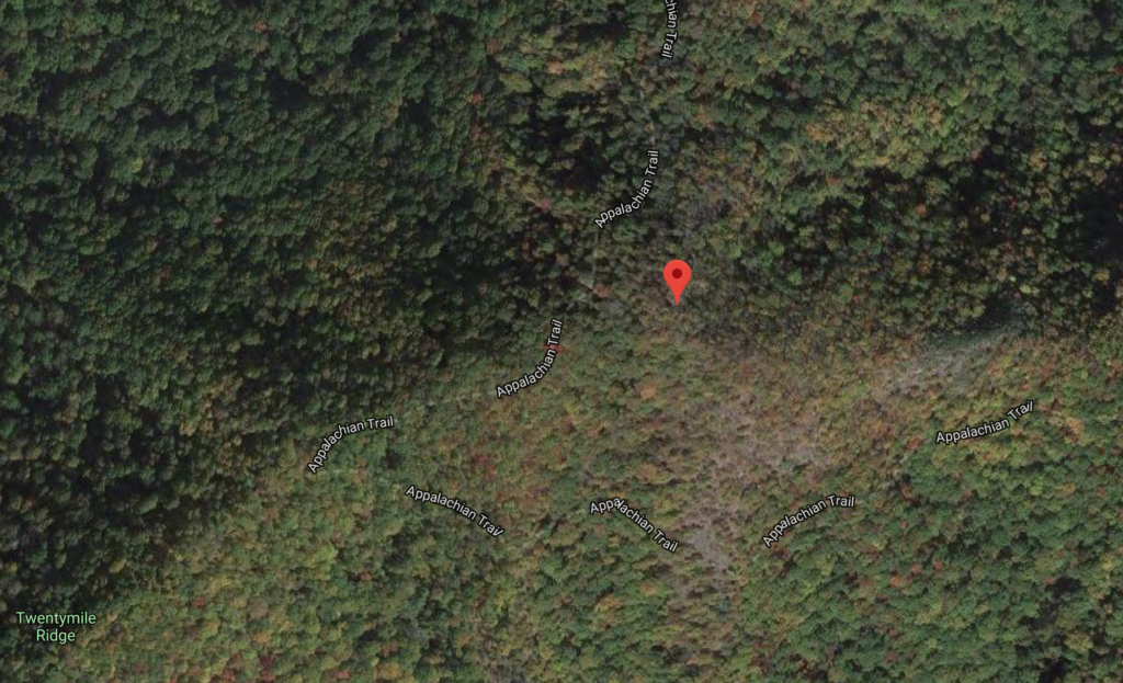
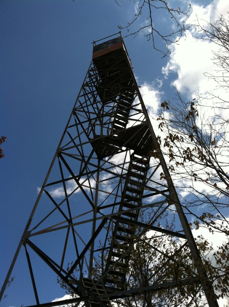
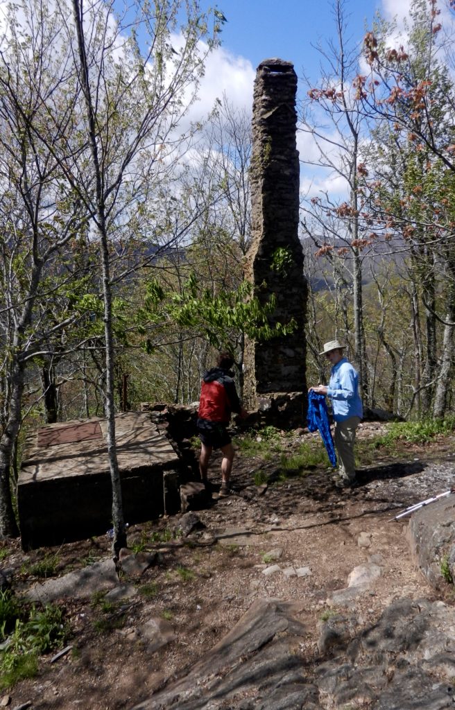
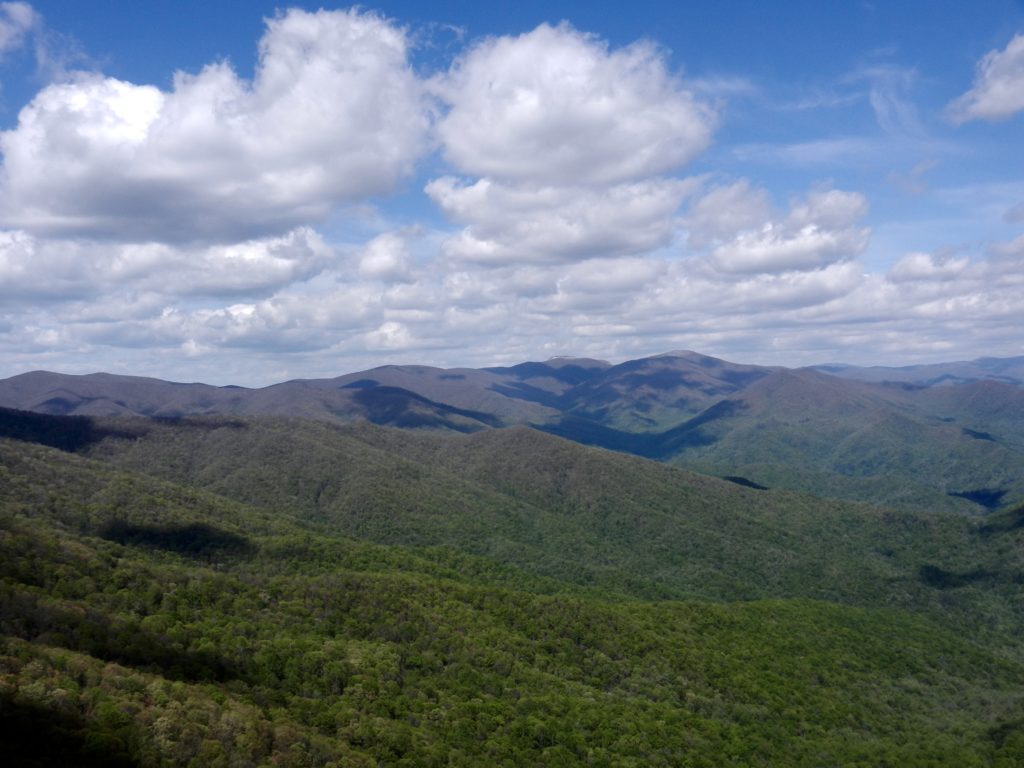
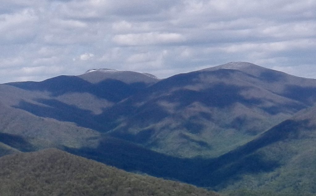
A word about Shuckstack firetower: we first saw it from about a mile away and it seemed so high we said, “Wow!”. Then after a long switchback, we got to the short detour where we dropped our packs and said, “Wow!” again at the ease of walking without them, even on the steep climb to the tower. We had two more “Wow’s” at the foot of the tower and then N added one more “Wow” swaying in the sharp wind on top. He might not have climbed the rickety old tower, but three southbound section hikers were just coming down when we got there and they didn’t appear especially foolish. Yesterday we’d complained about no clear picture taking view of the dam. Well! Today N could look back down to the dam without a single twig or leaf in the way. And then in the opposite direction he could see last night’s snow on the high Smoky peaks. “Wow!”
After descending the tower steps and walking back to the junction of the trail where Shock and Awe were waiting, we had a wide fire road to walk for a third of a mile, giving us a good rhythm for the last mile to our campsite. We arrive at 5 p.m., by far our earliest stop of the trip. We finish dinner by 7 and are in our tent before sunset and feeling ourselves nodding off by 8, as the wind was still howling. Tonight’s temperatures will test our 40° sleeping bags. At 11 p.m., our little thermometer alrady says 39.7, so we’ll see…
From: NC 28, Fontana Dam, (NC)
To: Birch Spring Gap (campsite #113) (NC)
Today's Miles: 7.1
Total Miles to Date: 171.7
[Our daily elevation profile comes from David "Awol" Miller's 2012 "The A.T. Guide," which we found to be invaluable. Get your updated copy at www.theATguide.com]
“Constructed in 1934 by the Public Works Administration, the Shuckstack Fire Tower is actually a small wood and metal building, perched atop a winding staircase. The view from the bottom of the fire tower is good, but the views from the top are quite stunning. As you begin to climb the 78 stairs, you’ll likely notice the tower moves ever so slightly, but don’t be alarmed. Wind continuously blows across this ridge, and the tower is made to give a little. At the top, you’ll be rewarded with spectacular 360-degree views. The Unicoi Mountains can be seen towards the west, the Snowbird and Nantahala Mountains to the south, the Blue Ridge Mountains to the southeast, and the Great Smoky Mountains towards the east and north. You’ll also be able to see Fontana Dam, as well as all of the terrain you covered on your way up to the tower.”
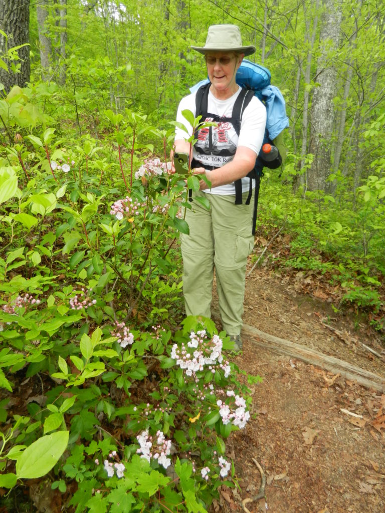
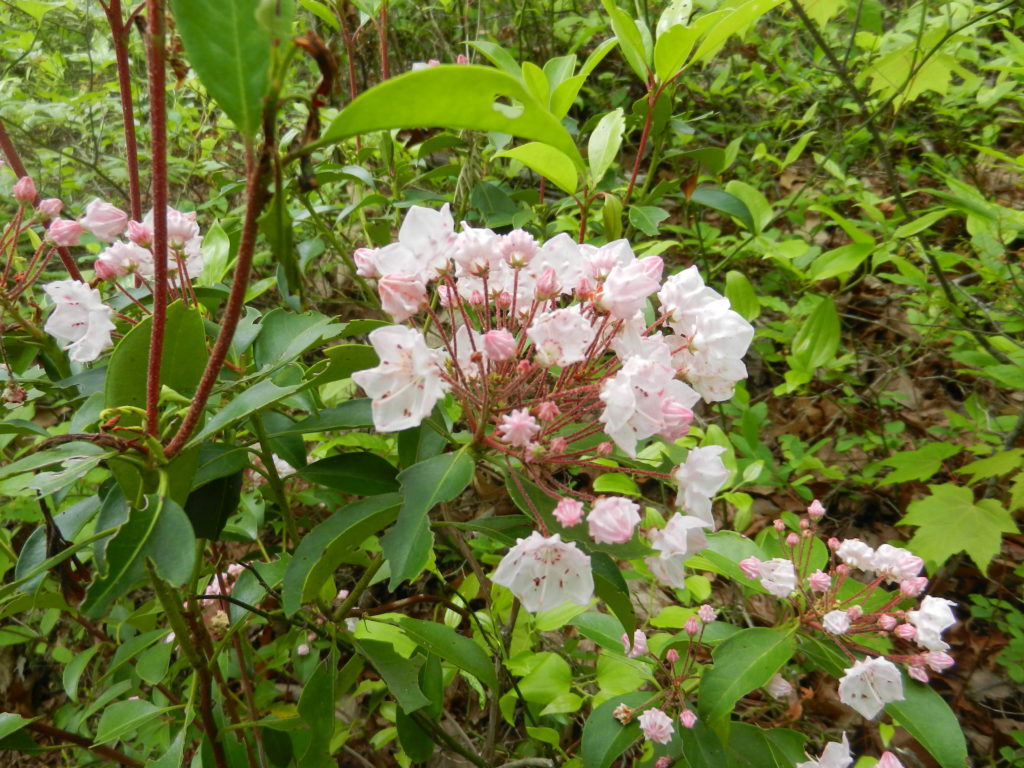
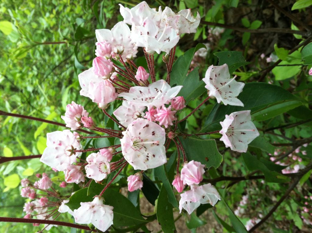
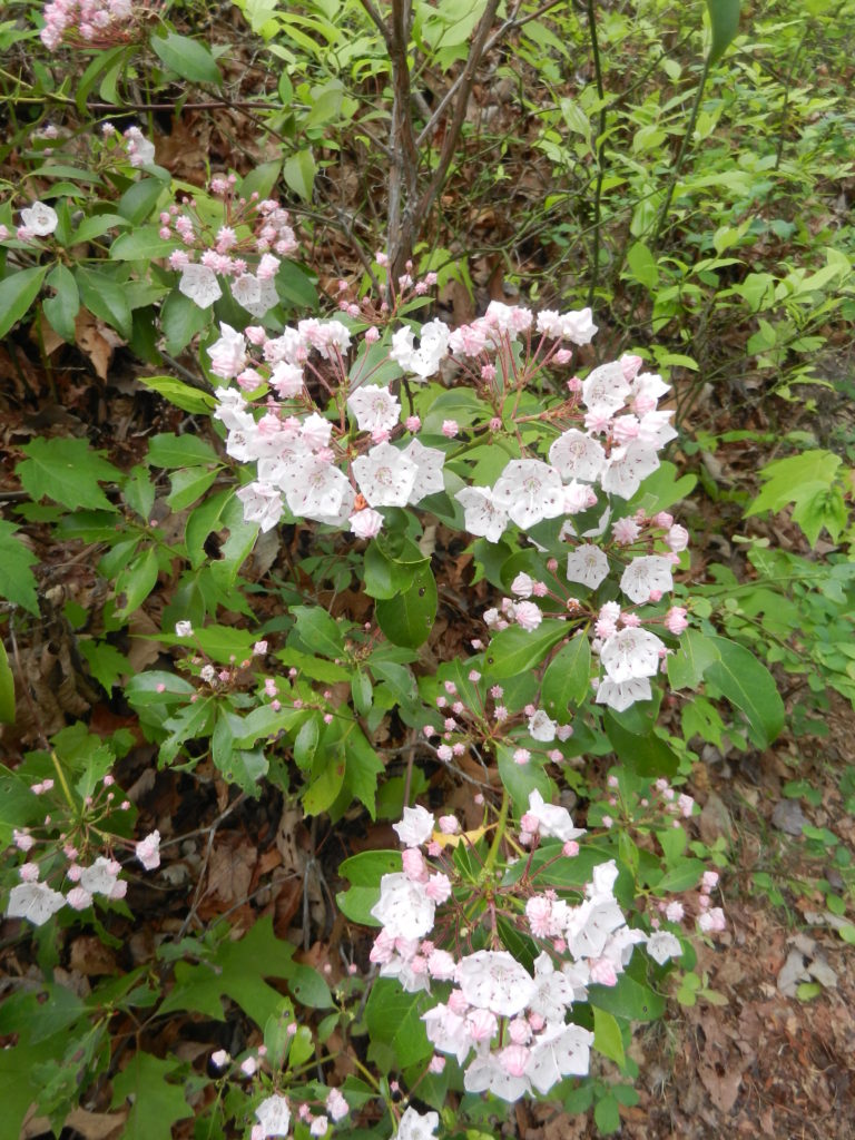
Kalmia latifolia, commonly called mountain laurel, calico-bush, or spoonwood (because Native Americans used to make their spoons out of it), is a broadleaved evergreen shrub in the heather family, Ericaceae, native to the eastern United States. [We will be in its natural range until we reach southern Maine.] Mountain laurel is the state flower of Connecticut and Pennsylvania. It is the namesake of Laurel County in Kentucky and the city of Laurel, Mississippi. [For those readers interested in its sex life, as the mountain laurel flower grows, the filaments of its stamens are bent and brought into tension. When an insect lands on the flower, the tension is released, catapulting the pollen forcefully onto the insect. Experiments have shown the flower capable of flinging its pollen up to 15 cm!
.
