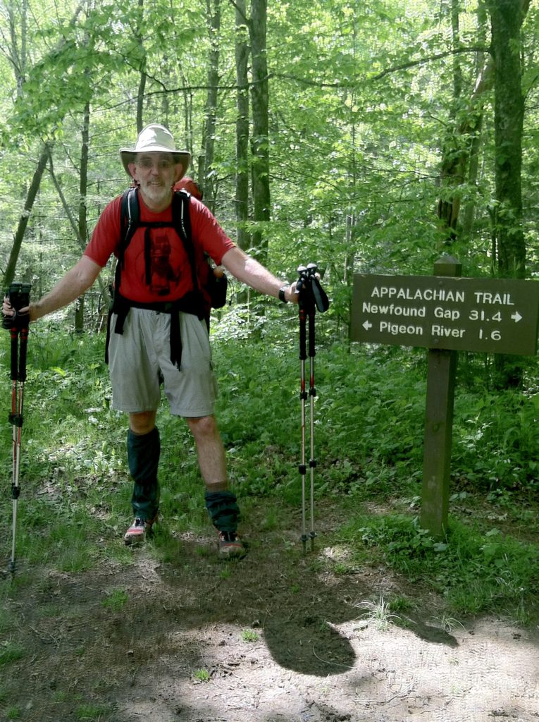
The first day we bump into a stranger on the trail who calls us by our trail names after reading about us on “Trail Journals”!
[One final note from yesterday on horses in camp: It turns out it is not the horses, but the horse people who cause trouble because of their poor wilderness ethic. We woke up to find them brushing their teeth in the shelter’s water source, after one of their group dumped their dinner scraps there last night. One environmentally clueless equestrian even rode up the hill and around the shelter. At one point the poor horse lost its footing and almost came tumbling down into the shelter wall. Grrrr!]
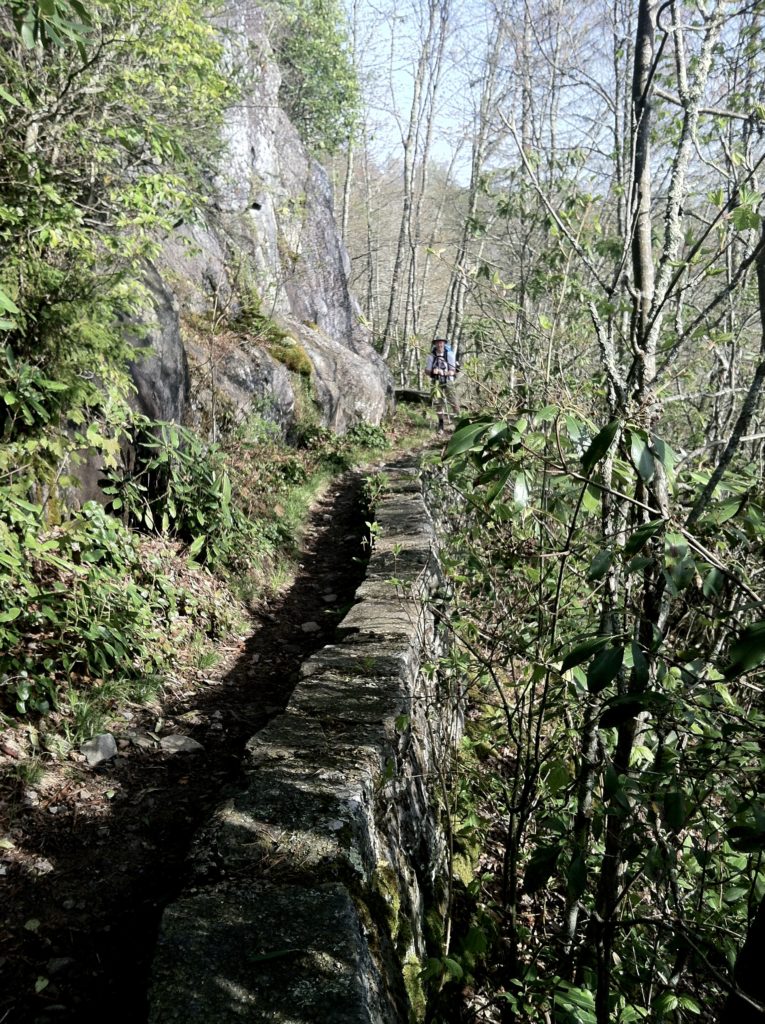
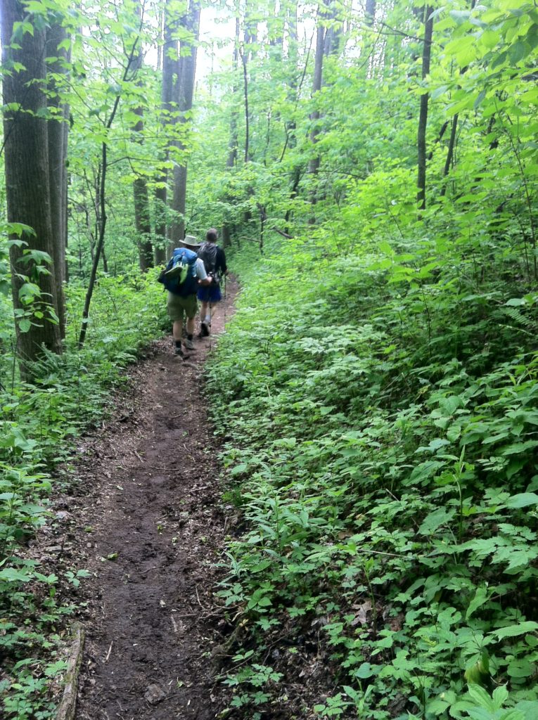
We reached the turnoff to the Mt. Cammerer fire tower after a steady climb from camp, but with less than perfect visibility (clear, but rather hazy) and a strong desire to put in some Big Miles today, we postponed a visit until another time, and began our descent to Davenport Gap. There were long sections of the trail that incorporated old roadbeds, making for easy walking. Before we knew it, we were at the national park’s northern boundary at TN 32 / NC 284, and another major milestone was behind us.
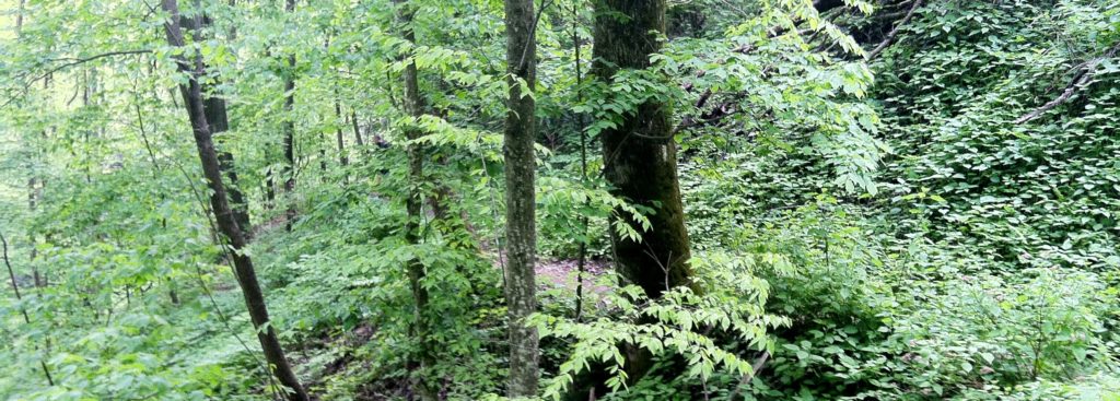
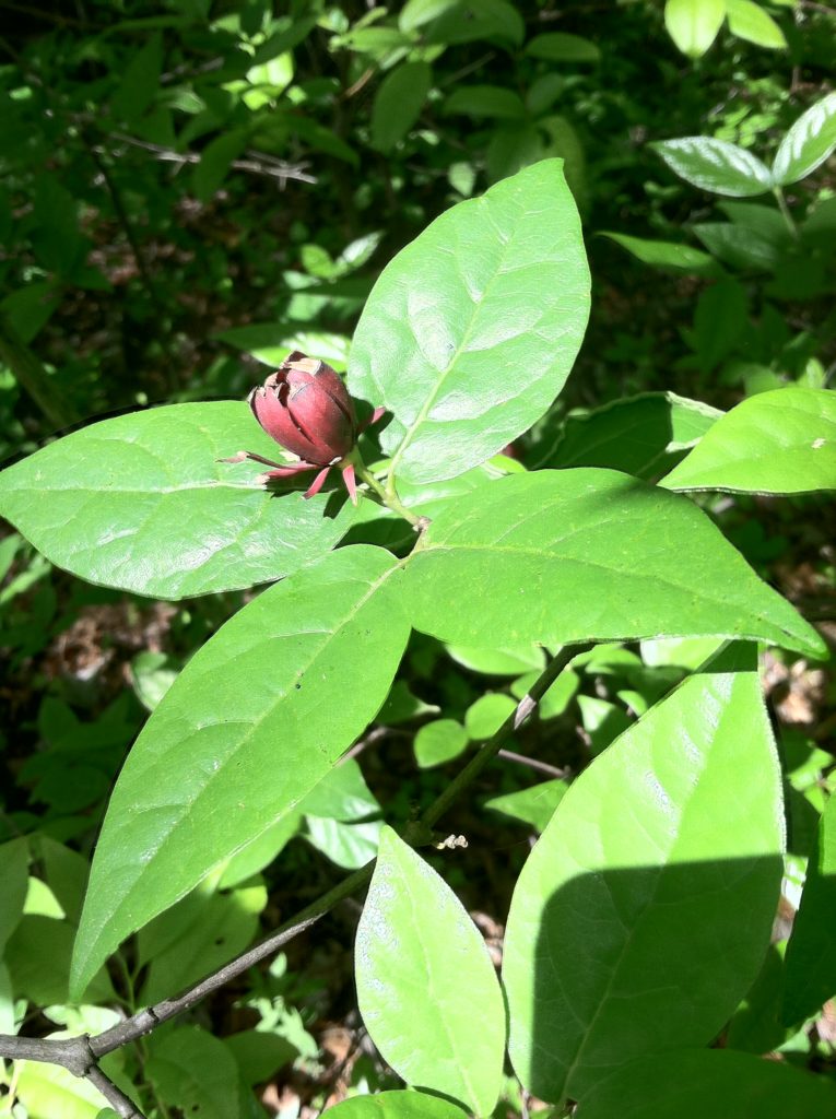
After crossing the road, we headed up a slight uphill where the proliferation of poison ivy showed us we had indeed made a large drop in elevation. The aggravating plant was so thick it was impossible to keep from knocking it with our trekking poles, and we were careful to avoid touching the shafts until we could clean them. The saving grace here was the return of mountain laurel, which was now in fuller bloom then when we’d last seen the plant at the Smokies’ southern boundary.
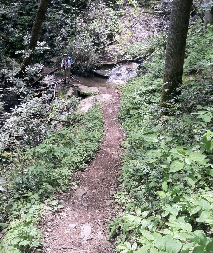
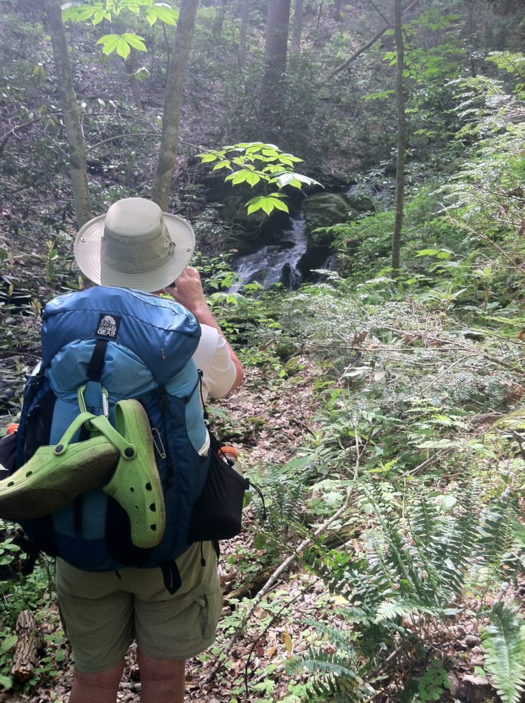
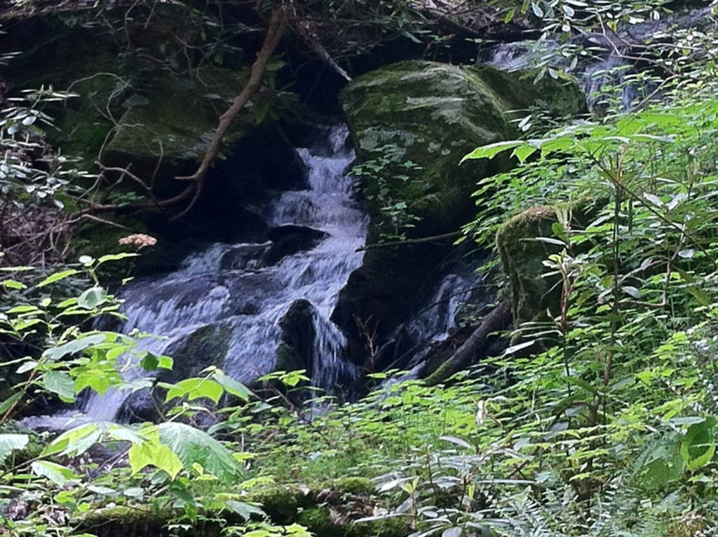
The final approach to Interstate 40 was an unexpected treat as we ducked down into shady Stateline Branch, where the sounds of the falling water drowned out all highway traffic noise. We crisscrossed the stream again and again, and at one place where the sun’s rays filtered down, spotted a water snake sunning on a rock in the middle of the Branch.
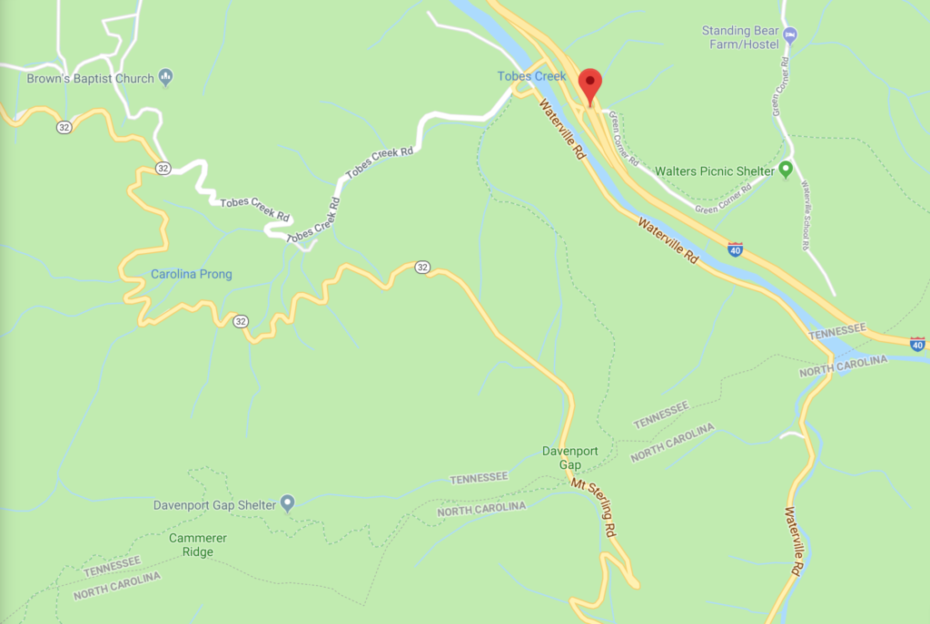
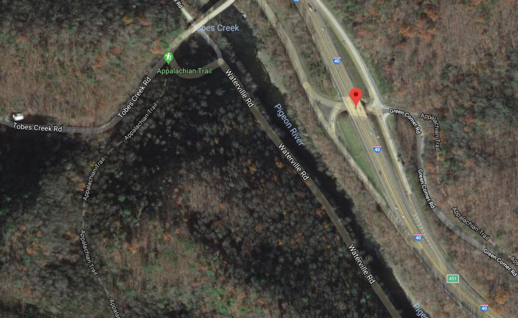
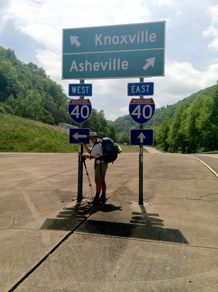
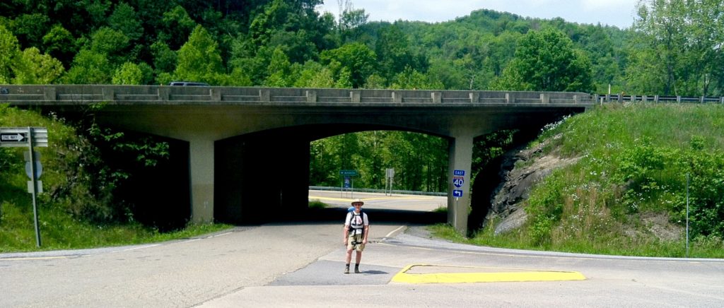
After crossing under I-40 (and much photo documenting of the event), we reached the steep stone steps leading up to Standing Bear Hostel. Some folks were just setting up Trail Magic, and we were offered iced cold sodas to help power us up the steep climb.
Our plan was to do lunch and a quick re-supply at “the experience that is Standing Bear hostel.” We found the place even more “laid back” than we had imagined and, before we knew it, we had squandered two hours of prime hiking time. We purchased a large frozen pizza which we decided to make our big meal of the day, cooked it in a pizza oven in the “outdoor kitchen”, downed more sodas, and for dessert munched on homemade chocolate chip cookies.
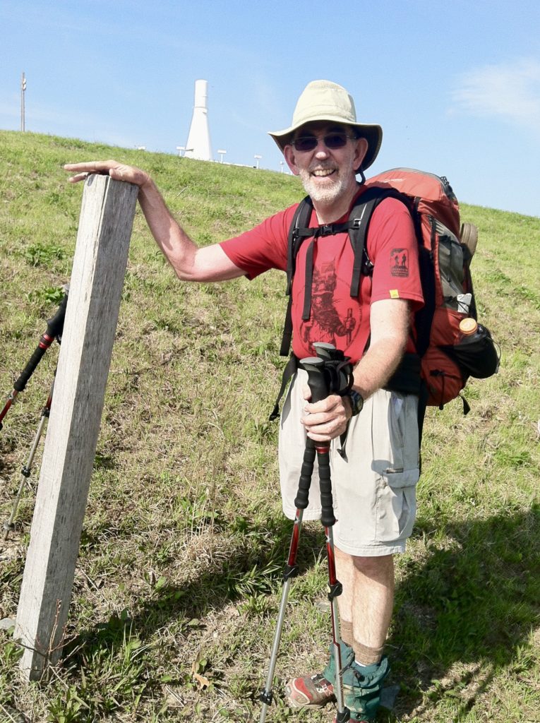
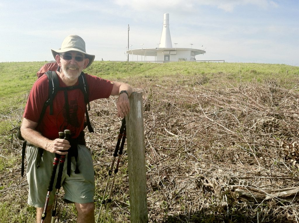
On our return to the trail and the five-mile climb to the top of Snowbird Mountain, N discovers the unseasonable 84° temperature and the heavy load of gooey cheese on his stomach is not a great combination for an afternoon hike; and he had a tough time dragging himself up the hill. X, however, continues to display her now almost three week old trail legs and just motored up to the large FAA beacon on Snowbird’s grassy bald.
[We encountered a goodly number of hikers during the afternoon, the strangest being a middle aged European who was weighted down with way too much heavy gear. As best we could tell, he was carrying all this trail-inefficient equipment up the hill by taking a loose load up the trail, dropping it off, walking back down to retrieve another pile, which he then carried up past the first load, at which point he repeated the process. Needless to say, this was the only time we saw him…]
The final three miles of the day was down to Deep Gap where the small stone shelter two tenths of a mile off the AT was “at capacity” (6+), with tents and hammocks seeming to stretch from there on into the woods forever. We found a quiet campsite at the extreme end of the shelter suburbs. Anxious to wash up after a sweaty afternoon, we forego interaction with any of our fellow hikers (including many new faces – where did all these people come from???)
We’re happy to call it a day as soon as the sun goes down, and are lulled to sleep by the sounds of I-40, far below us as it skirts Snowbird Mountain…
From: Cosby Knob Shelter (NC/TN)
To: Deep Gap, Groundhog Creek Shelter (NC/TN)
Today's Miles: 17.6
Total Miles to Date: 247.7
[Our daily elevation profile comes from David "Awol" Miller's 2012 "The A.T. Guide," which we found to be invaluable. Get your updated copy at www.theATguide.com]
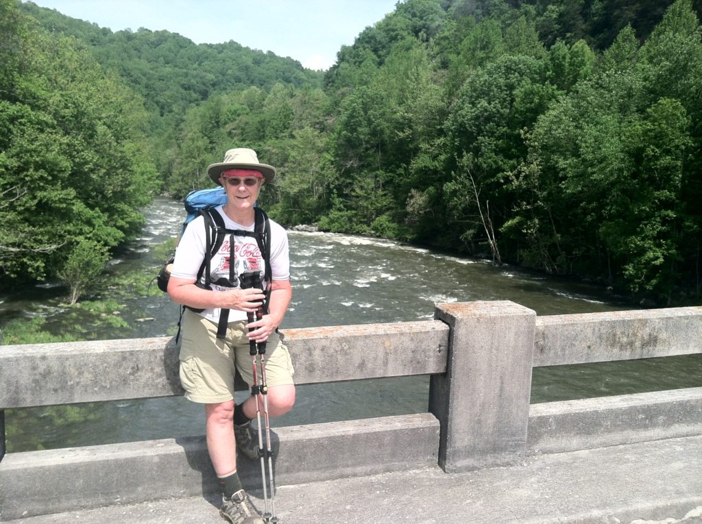
A series of contrasts, from the first time the interstate traffic could be heard from the trail, to the hidden sylvan splendor of Stateline Branch with its multiple stream crossings, to the Pigeon River Bridge, to the rumble of traffic above the I-40 underpass, to trail magic offered at the foot of the steps on Green Corner Road… About as much difference as you can find in a single mile of the AT.

