No Pain, No Rain, No Maine (or how we made a short hop over to I-26; and after two hard days of hiking, The Trail was extremely kind to us!)
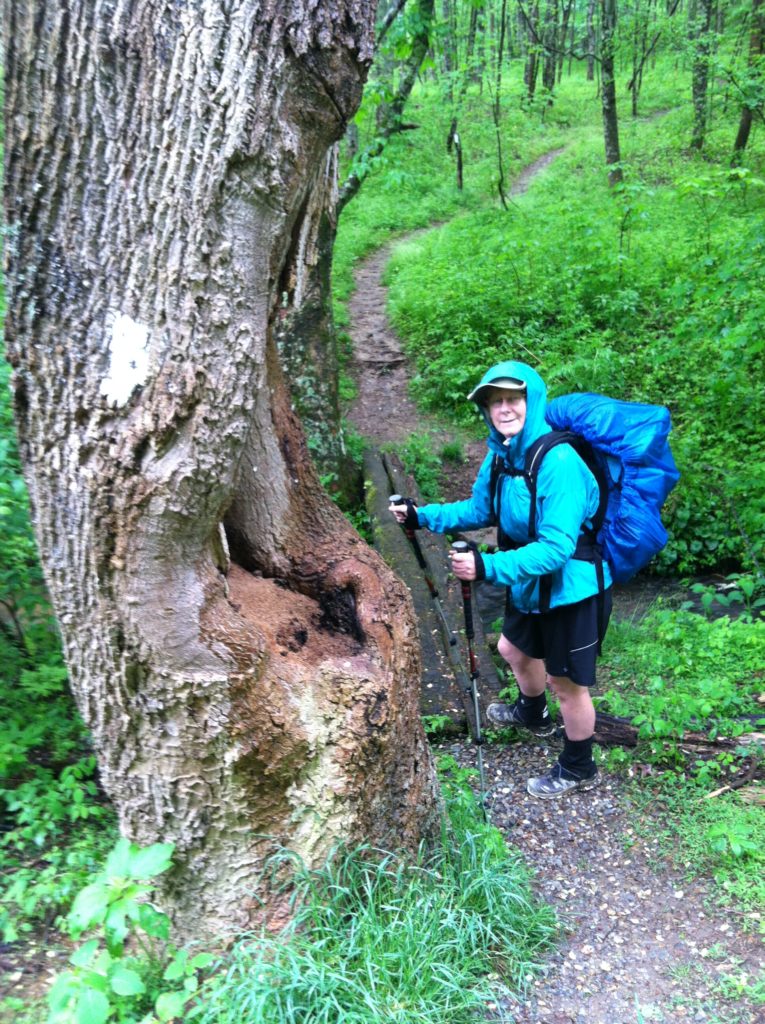
Camelot weather would be ideal for the AT. However, instead of quitting just before daylight, today the rain started just about 15 minutes before we were ready to roll out of bed. Hoping it would pass quickly, we decided to wait out the storm. We thoroughly enjoyed the hour of extra horizontal time, especially since we were lucky enough to have 3 bars/3G cell service. When we finally got a break in the rain, we tried to move quickly, but just as we pulled out the first tent stake, it began to pour again, and we left camp with both wet gear and wet packs. Not our favorite way to start the day…
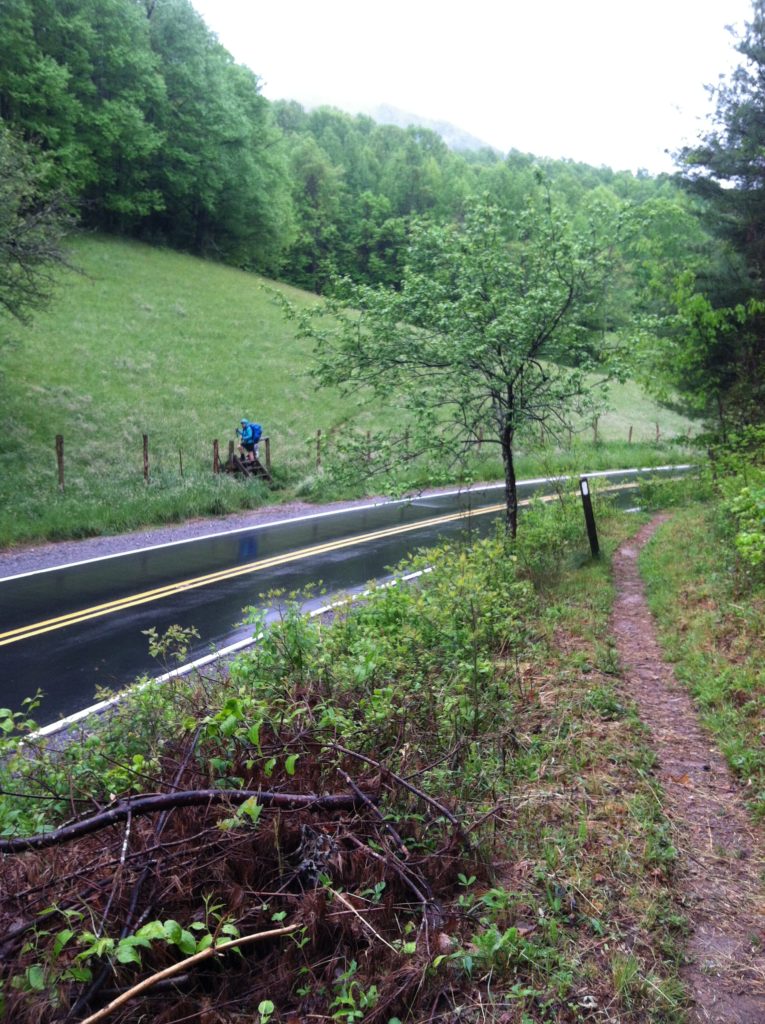
Once we got hiking, the walk in the rain and the mist was actually quite pleasant. We passed several tents where hikers had tried to squeeze in a little extra distance past the last shelter the day before. We heard no one stirring as we went by. After three miles of uneven but gradual downhill, we came to NC 212 and cow stile steps, followed by the trail going up again through rolling pasture land.
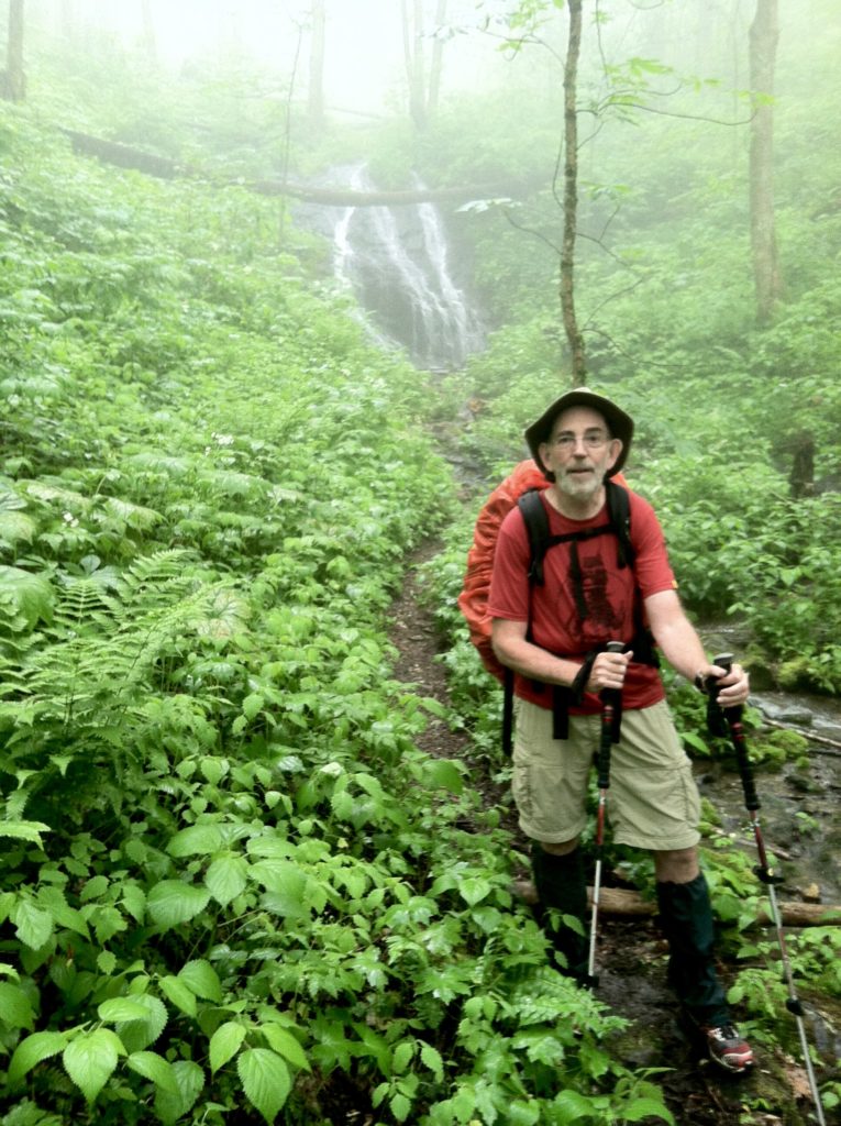
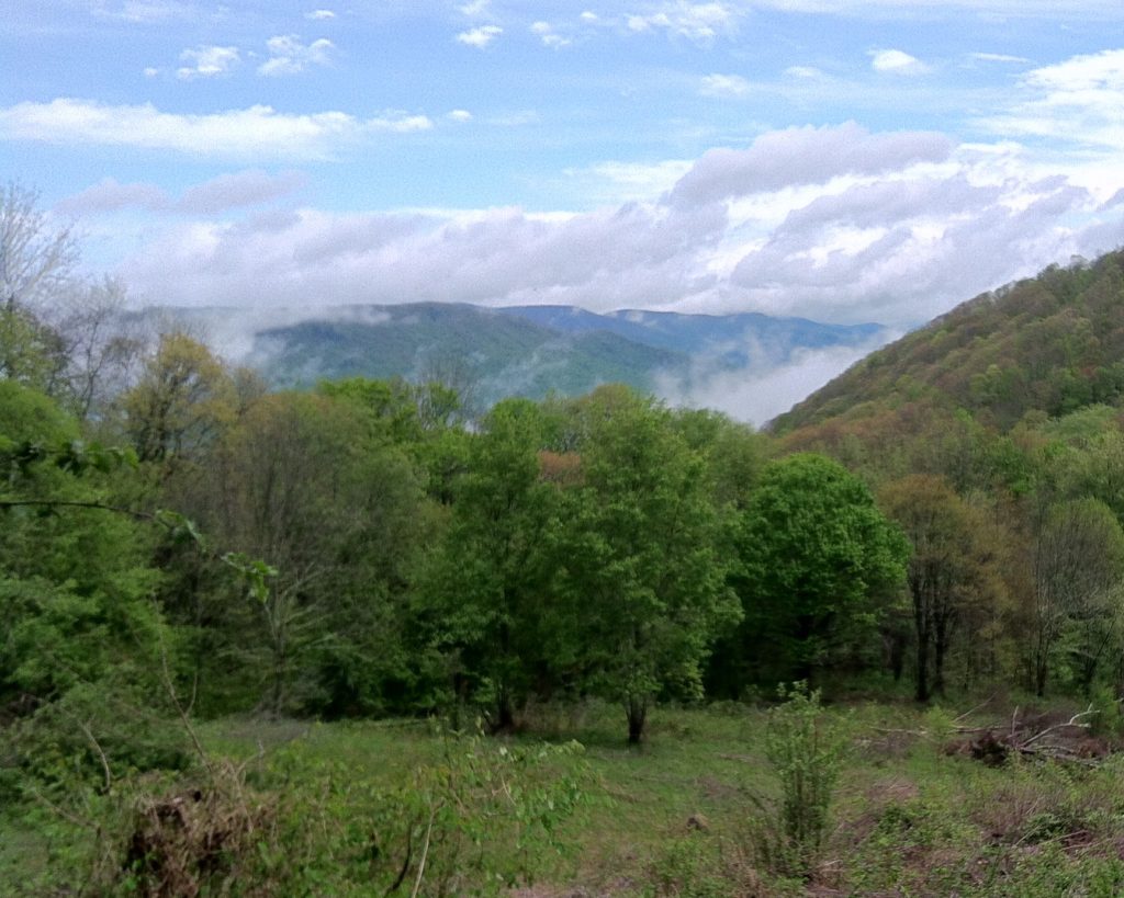
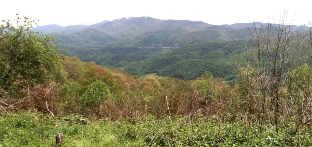
After a half mile descent, we came to the second paved road of the morning, where we began a three mile 1,500′ climb to Lick Rock. We crossed the same cascading stream four times. Quite a treat in the rainy weather, but by the time we reached the top, the weather was beginning to clear. Before heading down to Rice Gap, we stopped at a great sitting log with an even better view of the traffic on the interstate way across the way. We were joined by two other thru-hikers, one of whom used the opportunity to set up a clothesline to start drying out his clothes. (We aired our pack covers, with N pouring water from the bottom of his.)
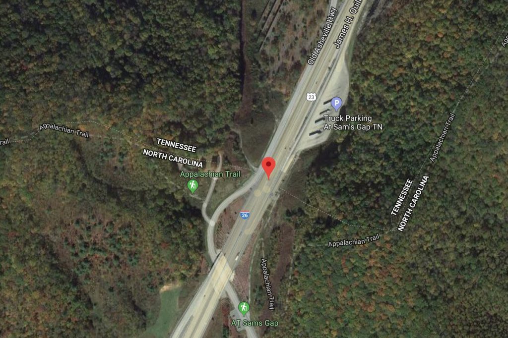
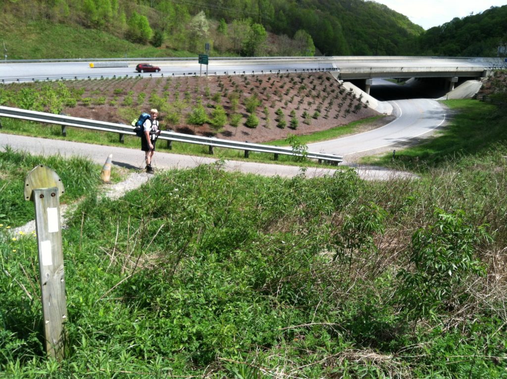
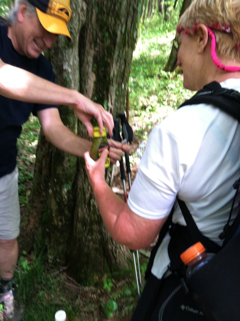
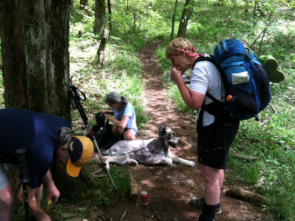
We made one more climb to High Rock (where a 200-yard side trail offered a nice vista) and headed down to I-26. A mile from the road, we met two former thru-hikers (and their dog), who had hiked up with sodas and hotdogs to offer as “Trail Magic.” The caffeine rush was just what X needed for the final push of a short day that started so wet and ended so well.
Our friend Dan Brown arrived at Sam’s Gap just as we did, and carried us back to his and Linda’s home in Weaverville. We quickly had their driveway looking like a hiker yard sale as we sorted, dried, & cleaned gear. (It’s a wonder their neighbors weren’t pulling in to check out what bargains awaited!) As this was going on, another NPS friend Connie Backlund came up from Flat Rock and we had a great evening that extended well past hiker midnight.
Our extended NPS family has offered us such kind and generous hospitality this week. (X lingers too long in those hot showers and N’s sore back is getting better and better from cozy soft beds) Please know, dear friends, how much we appreciate all your help and support and what you mean to us, Lizzie, Dan & Linda, and Connie. It takes an army…
From: Flint Mountain Shelter (TN)
To:Sam's Gap, I-26 (Weaverville, NC)
Today's Miles: 11.1
Total Miles to Date: 317.3
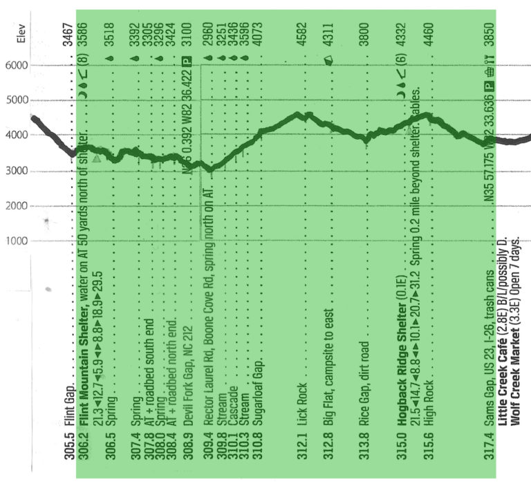
[Our daily elevation profile comes from David "Awol" Miller's 2012 "The A.T. Guide," which we found to be invaluable. Get your updated copy at www.theATguide.com]
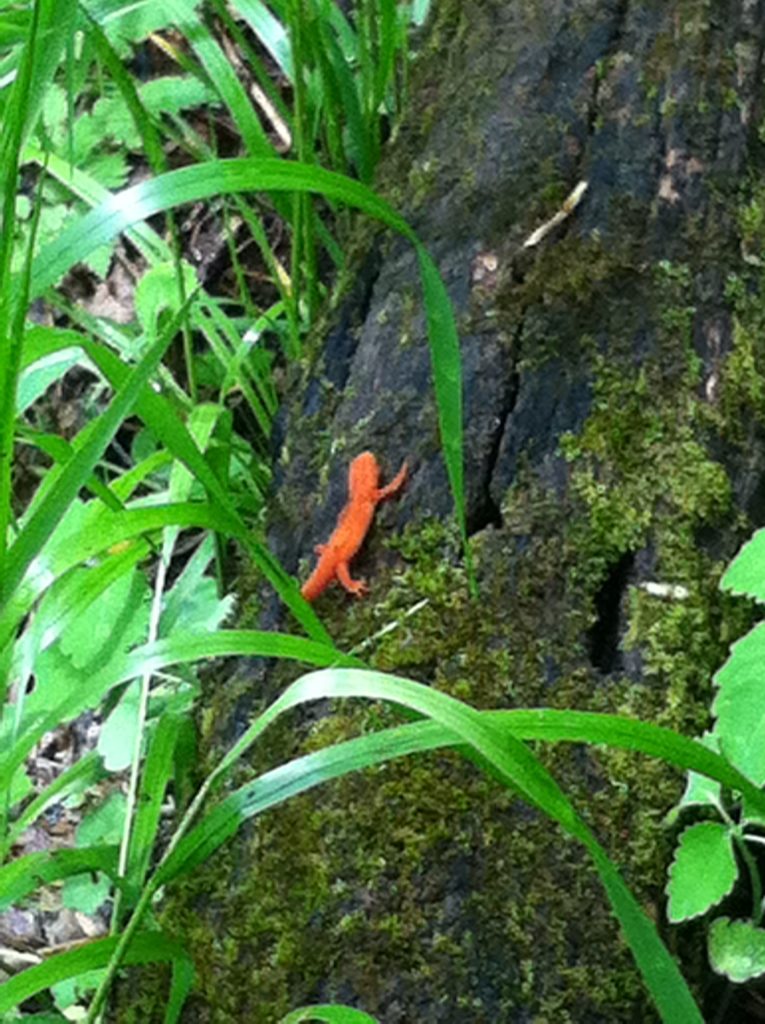
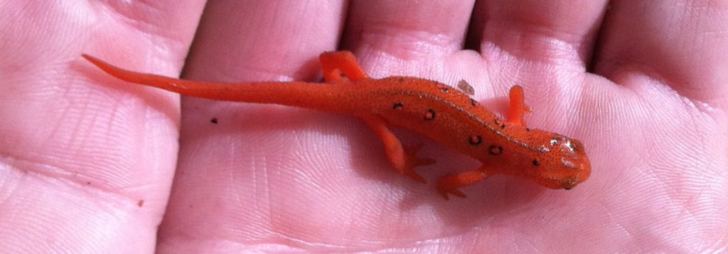
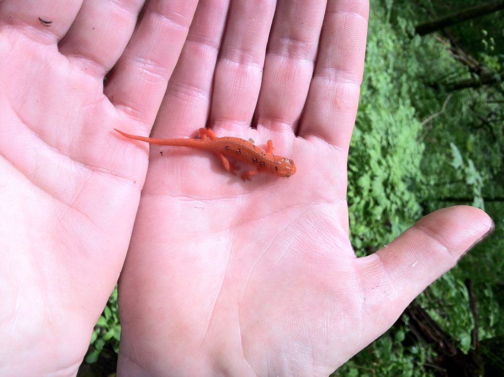
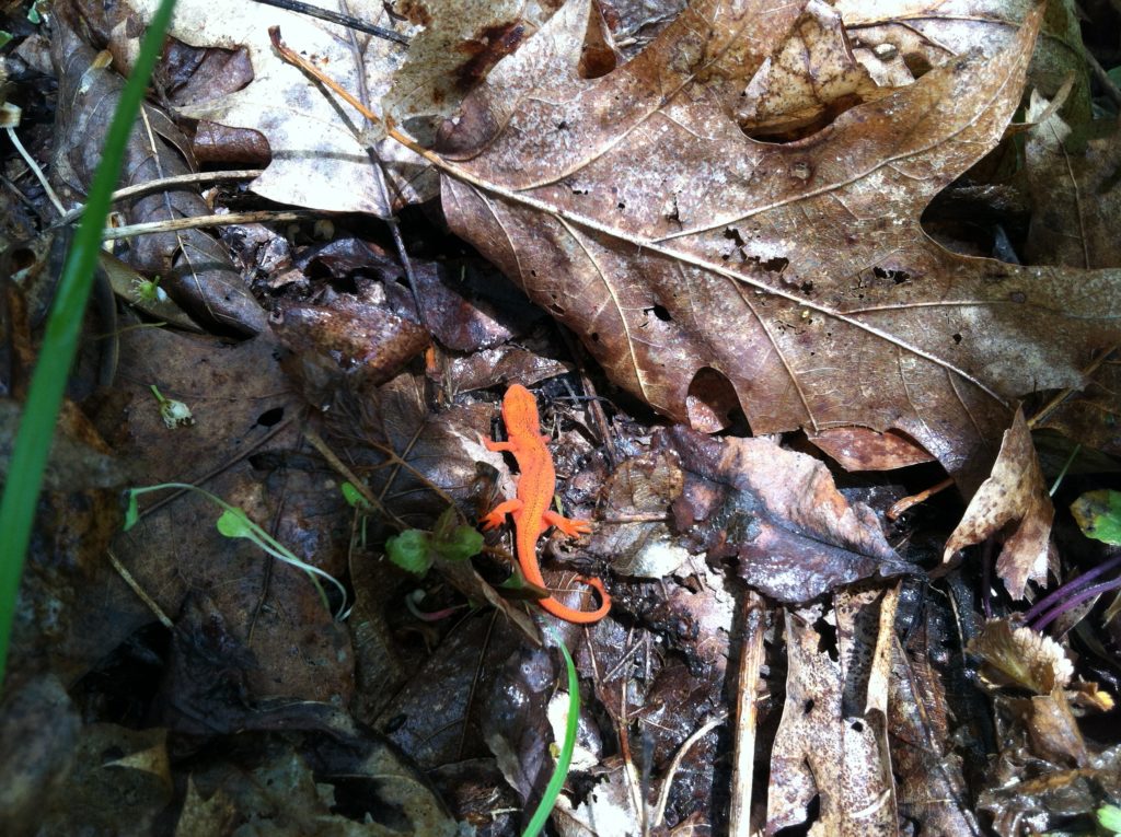
[The eastern newt (Notophthalmus viridescens) is the second most widely distributed salamander species in the United States. After a rain, we saw these creatures in all 14 states along the AT. While the larvae and adults of the eastern newt are aquatic, the juvenile stage, known as an “eft,” is terrestrial.]
