Laurel Falls Gorge, Pond Mountain, and the shores of Watauga Lake (Or the Troverts rebound for a high mileage day)
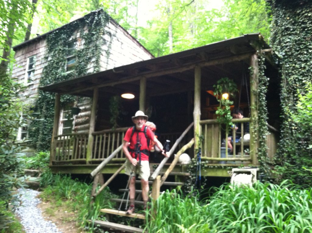
In the early 1990s, Bob Peoples was living in Vermont and looking to buy a piece of land with only one requirement: it had to be within 3/10’s of a mile from where the AT crosses a road. It could be anywhere along the 2100+ mile AT corridor, BUT it had to be within a tolerable walking distance of the trail. In 1994 he ended up buying “sight unseen” just the right place in East Tennessee, and Bob’s Kincora Hiking Hostel has been sheltering hikers ever since. In fact, this year Bob said he hosted his 19,000th hiker!
Bob is a legend among the hiking community. Although he has never thru-hiked the AT, he has made it his mission in life to care for and maintain the trail. He works tirelessly improving the gradient by building switchbacks and re-routing the trail where necessary to prevent erosion and wash-out. As we read on the wall of the shelter this evening, “Every time Bob Peoples builds a switchback, another angel earns his wings.”
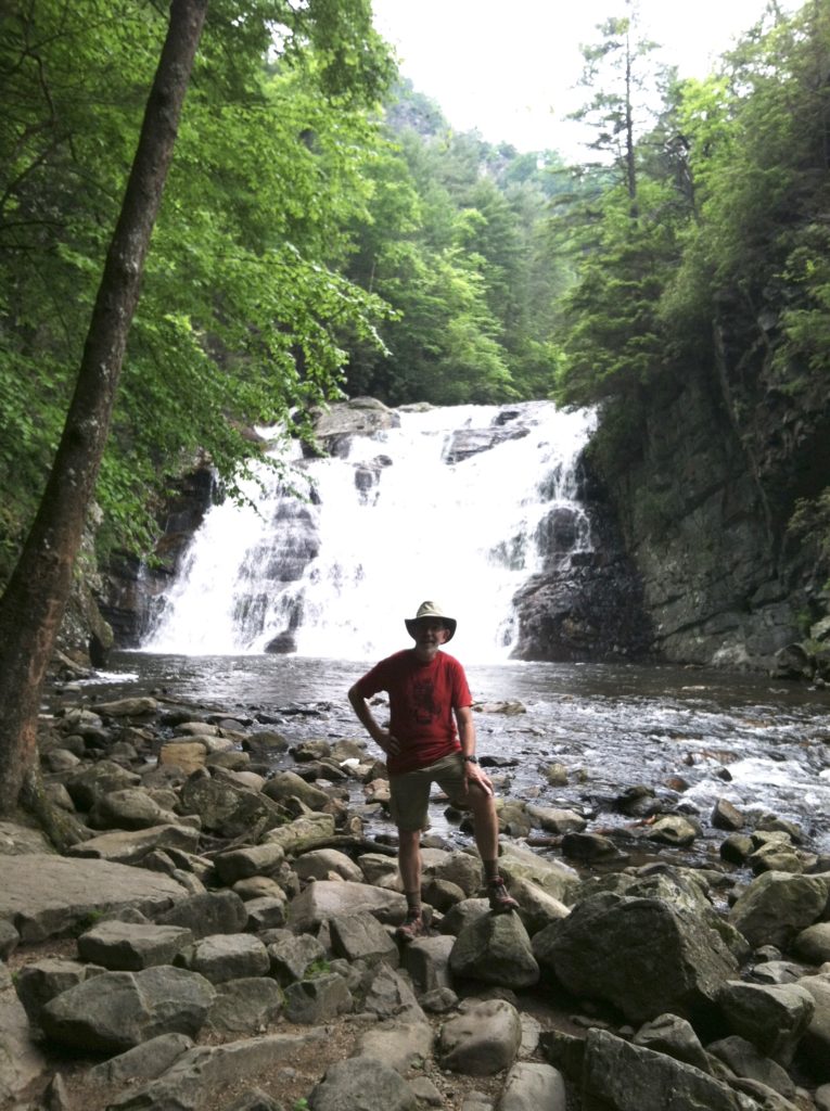
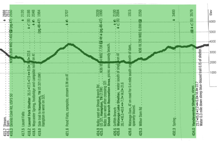
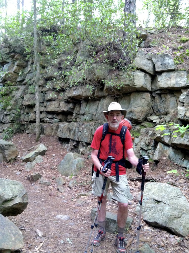
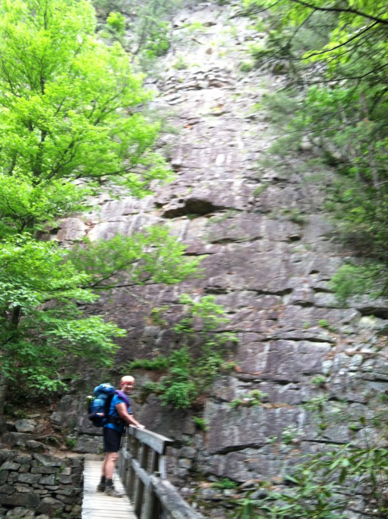
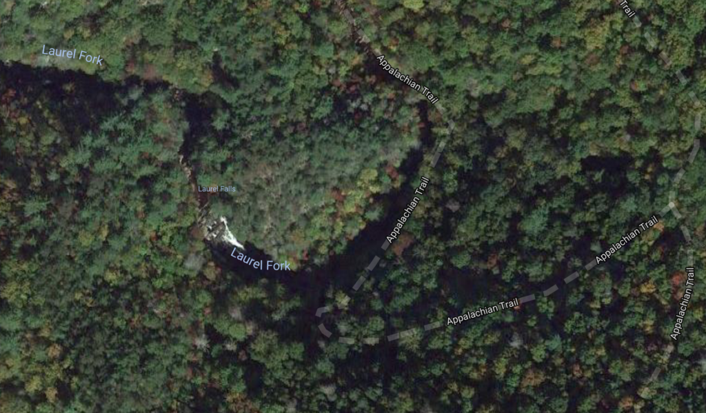
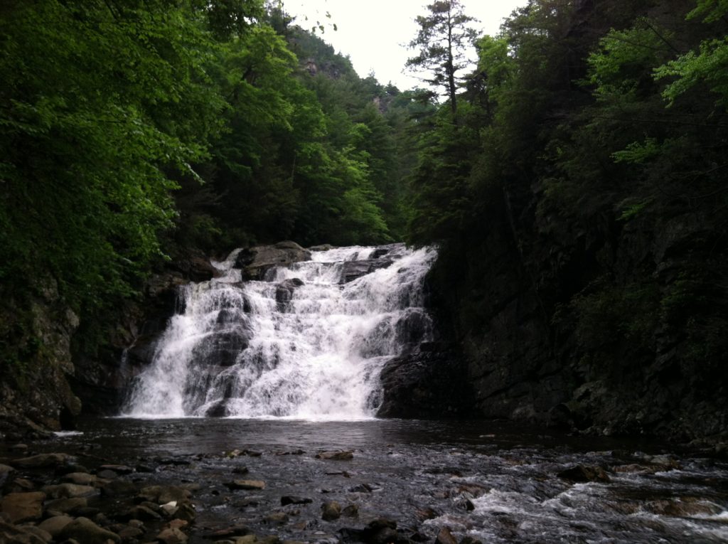
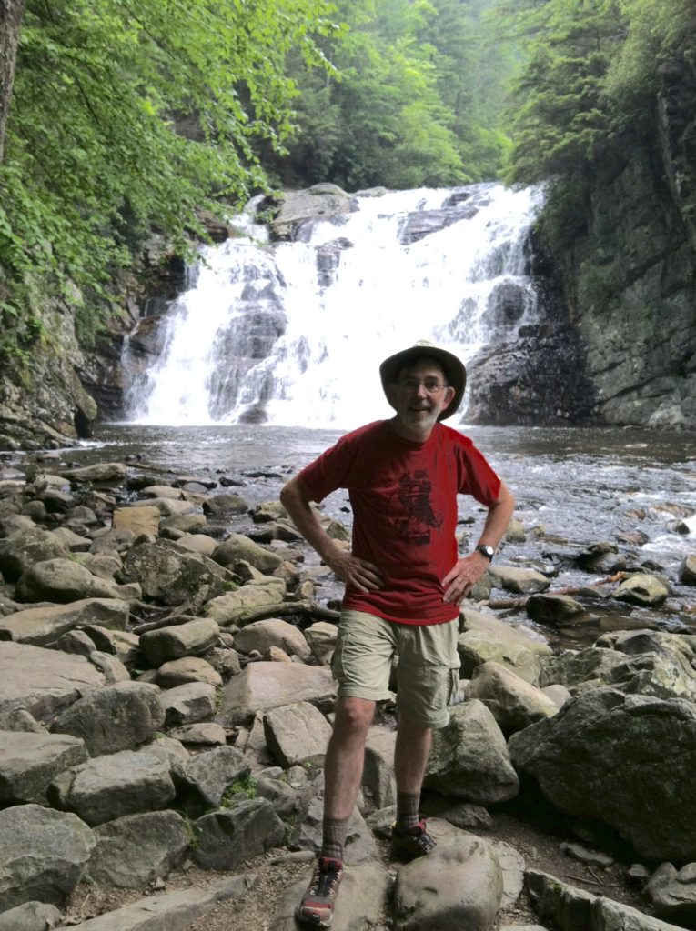
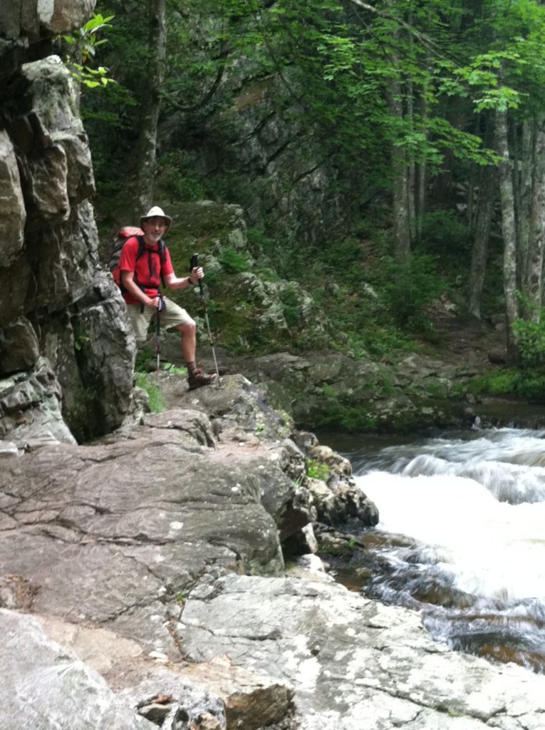
As dull as yesterday’s walk was down toward Hampton TN, today’s walk north from Kincora was that spectacular and more: we had paths through rock walls on each side of the trail, towering stone cliffs overhanging footbridges, and a climb down to the lovely Laurel Falls. We had worried about the up and down nature of the climb over Pond Mountain, but the descending trail was so gentle it was hard to complain.
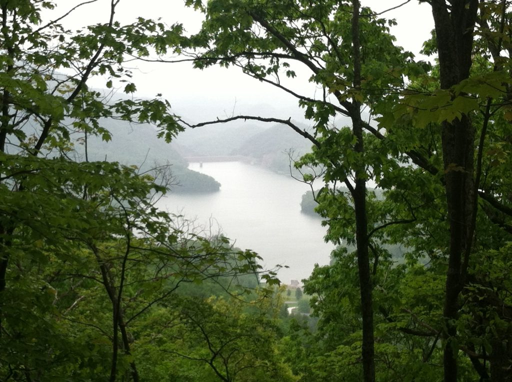
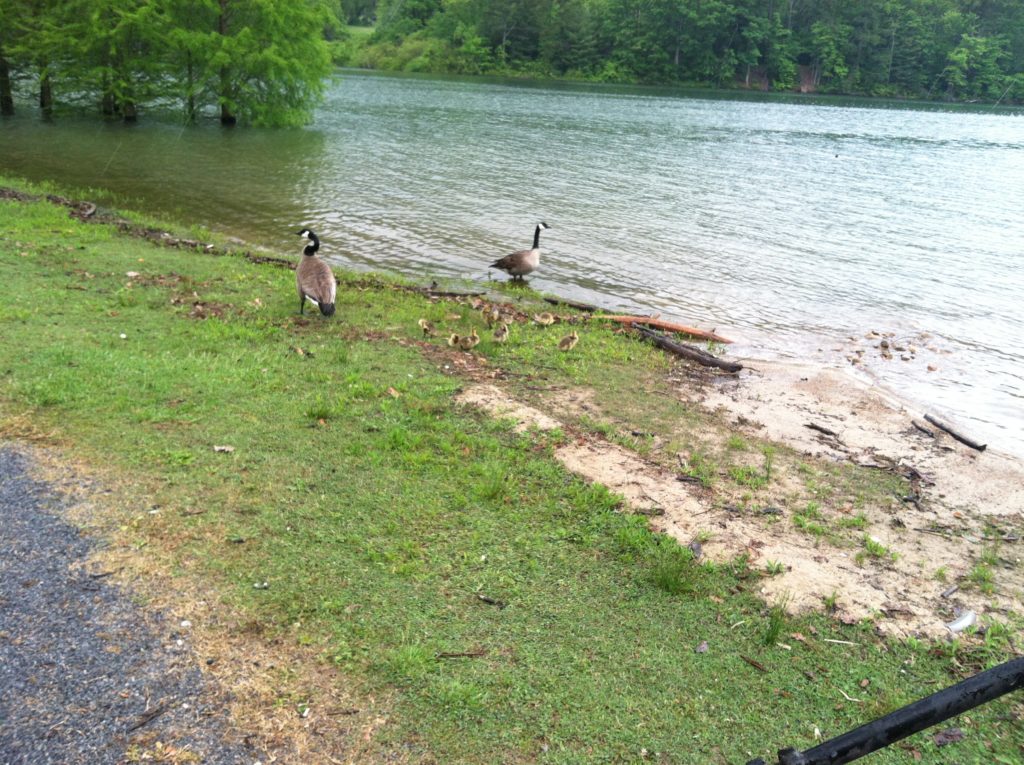
When we reached the picnic area at Lake Watauga, the light rain that would continue all afternoon had set in, and after availing ourselves of the spigot to refill drinking water, we did not linger. The trail skirting the lake was eaten up with poison ivy and so over-used as to be unpleasant to hike.
We ducked into the next shelter (the appropriately named Watauga Lake Shelter) for a snack and found two guys trying to start a camp fire in the rain. They invited us to stick around for hotdogs (from the looks of their fire project, it was going to be awhile before said dogs might be ready…), and apologized that their moonshine was already gone. We decided this was not our cup of tea, thanked them profusely, and moved on as quickly as possible.
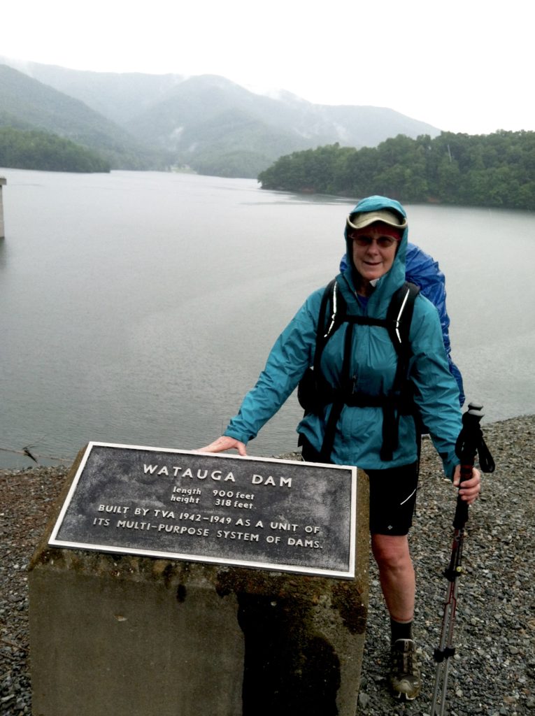
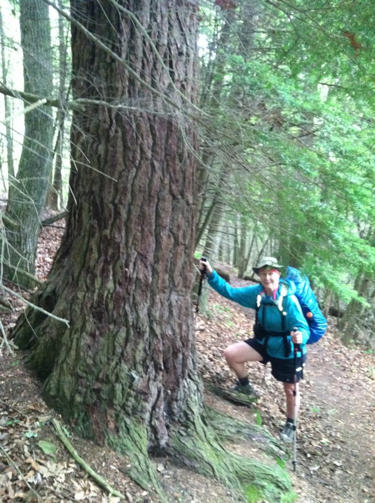
After crossing the earthen Watauga Dam, we began our second 2,000′ climb of the day, this time in a windy, chilly rain, and by the end, the walk to the next shelter seemed to go on forever. We did meet two trail maintainers who gave us advice on water to avoid a long steep climb at the shelter. They also pointed out a state record hemlock. (It was beautiful and picture-worthy, of course.) A southbound section hiker said he had only seen three hikers going the other way, but we still worried whether there would be room for us at the shelter this late in the day. Certainly, the most welcome sight of the day was an empty shelter with its open side protected from the misty wind. Someone is looking after us today… Shortly after, we are joined by three members of Team Canada (Mange, Cheetah & Long John) and Blue Sky to give us a full house and a very congenial group for the night. Team Canada (a remnant of the larger Team Chick-fil-A) surprised X with a homemade concoction of chocolate pudding with cherry pie filling as a fitting Mother’s Day dessert. A dry place to sleep on the AT, new friends, and culinary delights cure many ills…
