Crossing the Virginia Highlands (not to mention the AT 500-mile mark...)
With the temperature in the mid 40’s, we used the fact no one else in the shelter was stirring as the excuse to sleep in past 6:30 this morning. As a result, we didn’t get on the trail until 8:15. Our tardiness was compounded by a very demanding section of hiking in the first several miles. However, we were glad we didn’t try to push to do these miles yesterday as they were some of the most interesting we have encountered and they deserved time to savor.
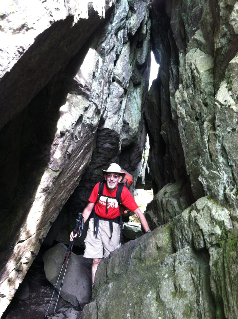
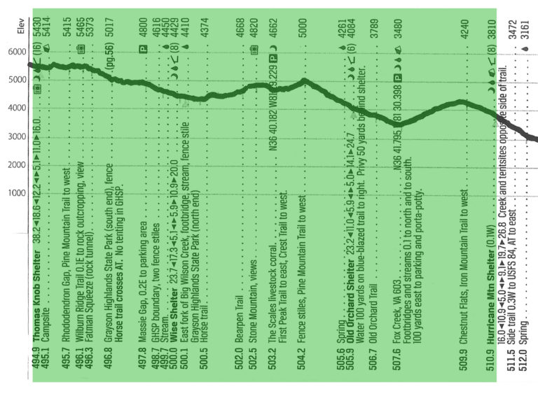
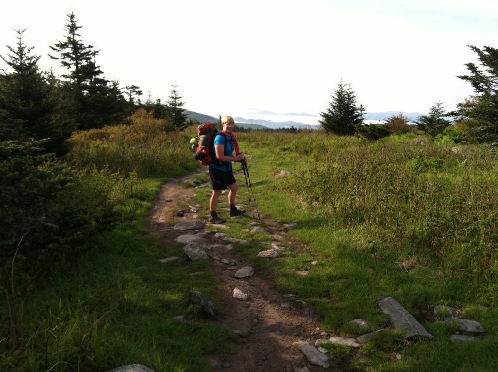
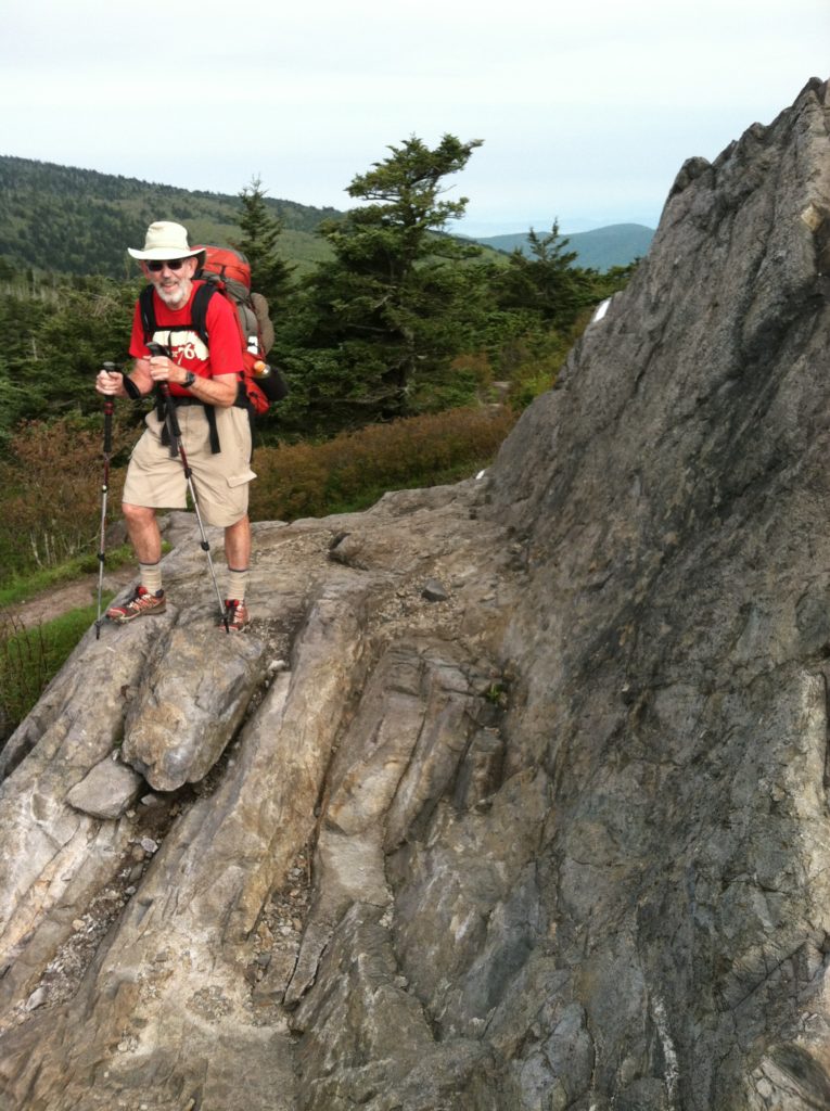
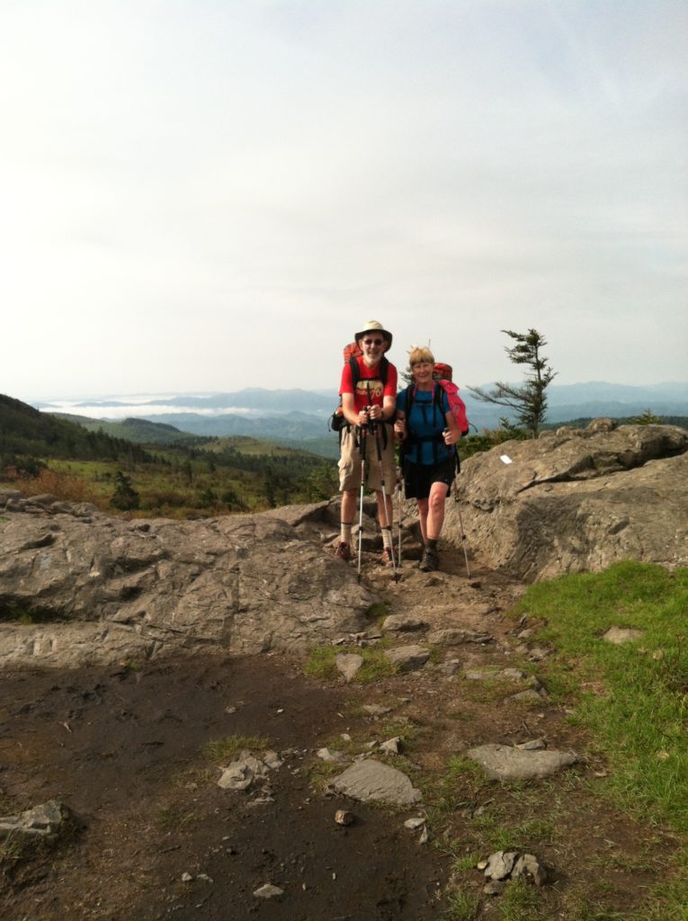
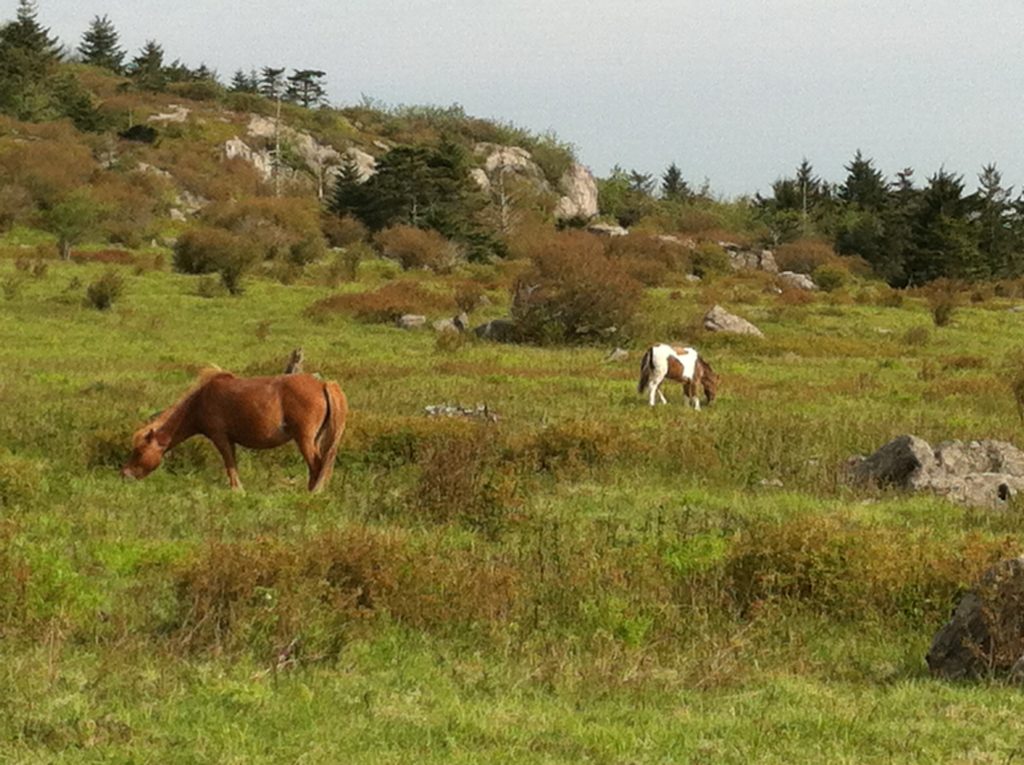
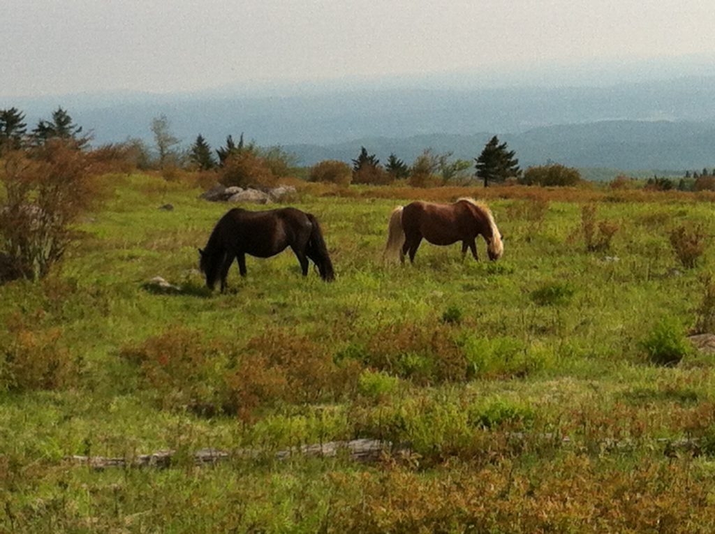
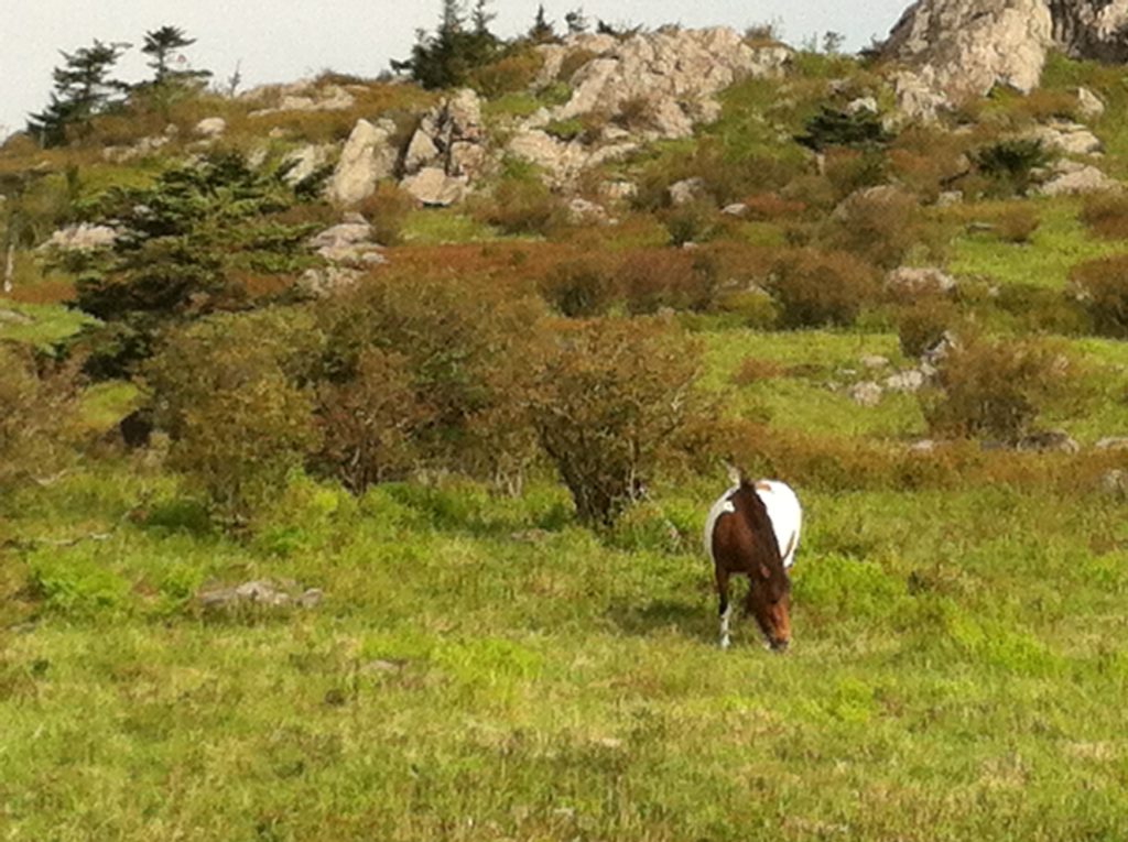
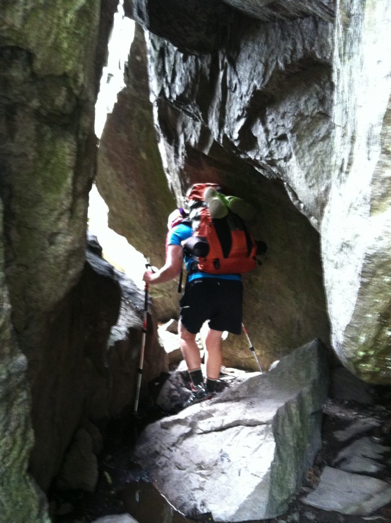
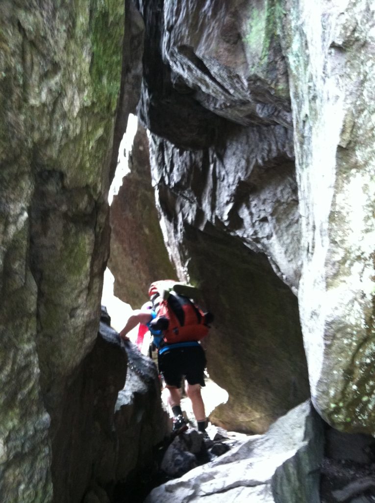
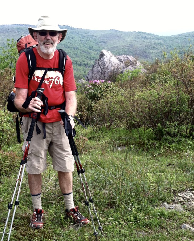
First off, the views from Mt. Rogers with the morning mist filling the valleys below were spectacular. Then came a chance to walk close to the famed highland ponies again. Next came some rock scrambles over some interesting formations. One of these was a rock tunnel named Fatman Squeeze. (With our current hiking weight, we easily met the challenge.) From the top of the next high point (Wilburn Ridge), it appeared Grayson Highlands State Park was trying to get in the Guinness Book of World Records for “most boys scouts assembled in one place.” In fact, this was one of the busiest areas of the AT yet, as lots of day hikers were out for the weekend.
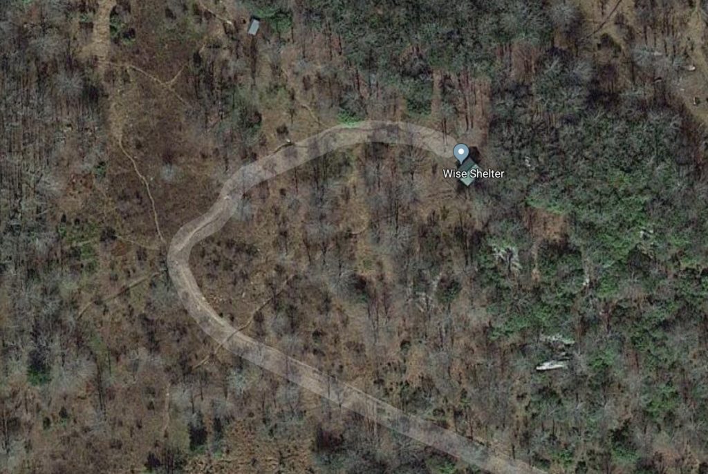
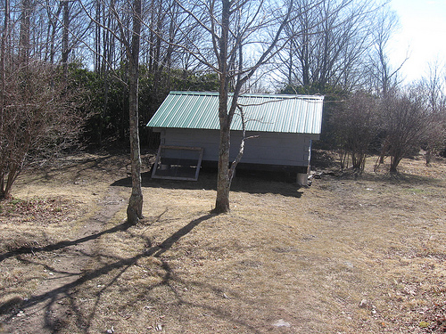
At the north end of the state park, we stopped for water and a snack at Wise Shelter, our original destination for last evening. These five miles had taken us four hours to cover, which yesterday would have put us there quite late. Again, a good decision to postpone until today… We met a trail volunteer who arrived to police the area and bring a new shelter log (so X became the last person to sign the old one and the first to sign the new one!). He was a wealth of information on the trail ahead, answering our questions and providing hints on things to look for along the AT. He was correct when he said the trail would become less difficult, and as a result our pace really picked up in the afternoon. We reached Old Orchard Shelter before 3:00 p.m. to find a young assistant scout leader taking a break from his group camped nearby. We got the impression his young charges could drain a person’s energy pretty quickly, and we commended him for helping get kids out in the woods.
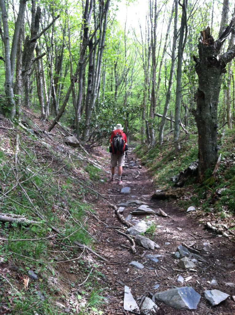
We decided to go “one more shelter,” only five miles away. This entailed a very easy 1.5 miles down to VA 603, then a steady 800′ climb up the other side. We are rewarded with a very nice new shelter a tenth of a mile off the trail, which we share with a couple of section hikers from NC. We’re all in bed by the lovely 8:30 sunset after a very rewarding day walking (in a very circuitous route!) towards Maine. The Virginia Highlands were a real treat and have moved up to X’s favorite part of The Trail, at least so far…
