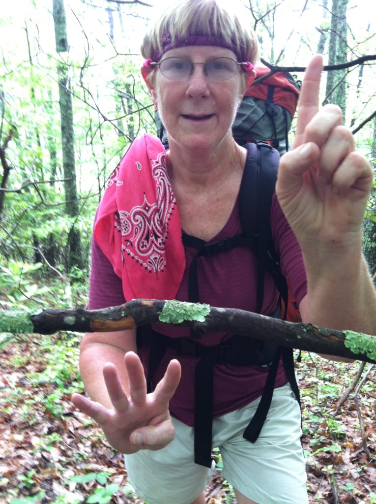
All day 60% chance of thunderstorms, not to mention a severe weather warning for flash floods... (plus we cross the AT 25% mark)
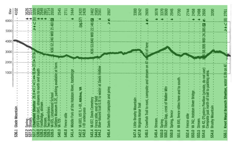
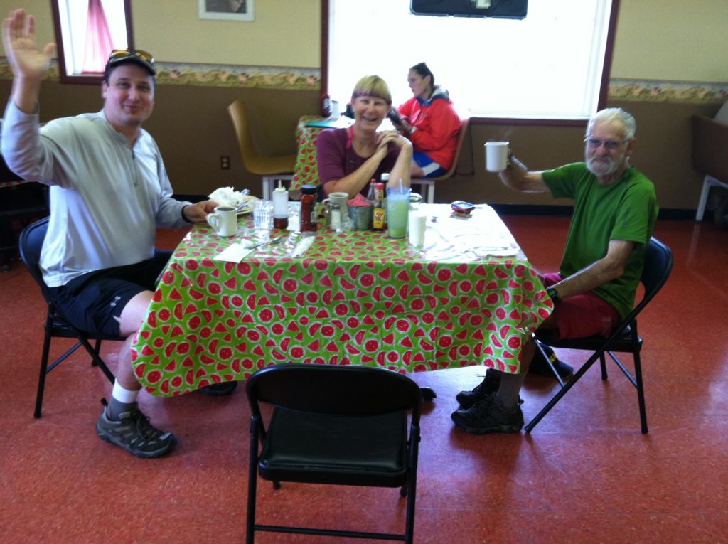
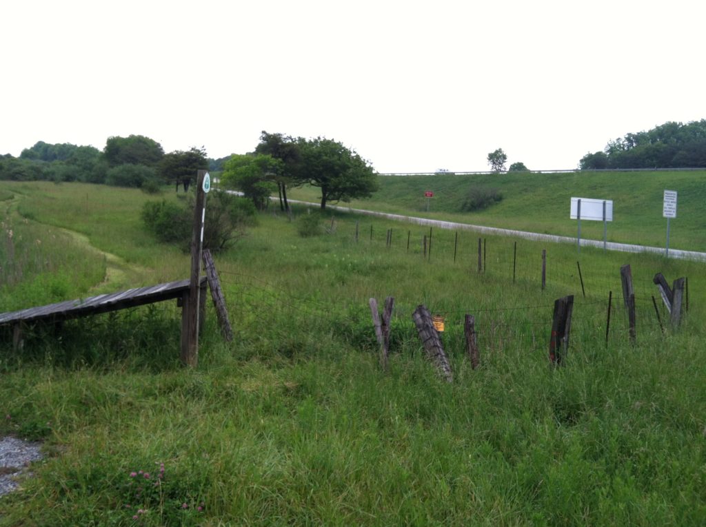
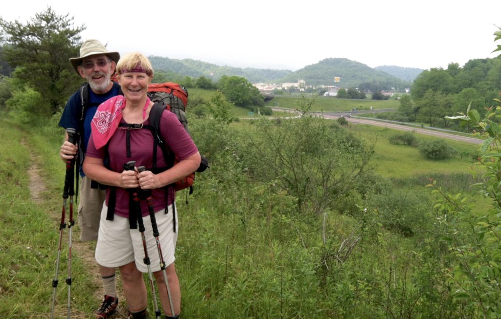
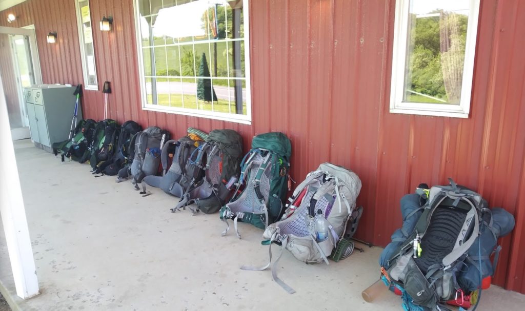
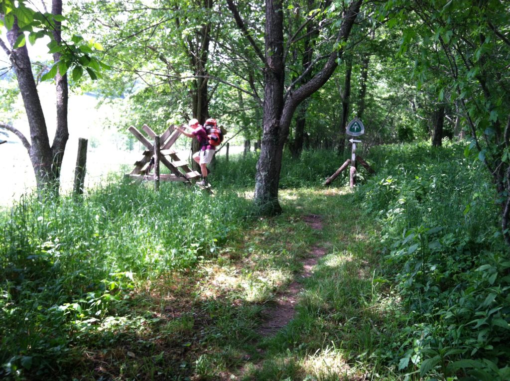
A crackling, humming power line, a one room school house museum, the first of many fence stiles, a footbridge over the middle fork of the Holston River, an active railroad track, a boardwalk over a bog, and all that before X’s first cup of coffee! After five miles, the day’s first big landmark was Interstate 81, but more important for us was the Barn Restaurant at that I-81/Atkins exit. We thought it way too early to tackle their Hiker Special 16 oz. hamburger, but we left the shelter before 7:00 and turned on the afterburners in hopes of a big breakfast. The Barn did not disappoint! Eggs, sausage, grits, biscuits, pancakes… X had so many cups of coffee, she didn’t slow down until late afternoon. And since it was a little after 9:00 when we walked in (i.e., almost ten o’clock treat time!), N started his meal with a large Mountain Dew.
In addition to real live food, we had cell service for the first time in a while and learned we would be under a flash flood watch from noon to midnight. Fortified by the big breakfast, we decided we needed to plan for a roof over our heads tonight (For two folks who avoid shelters at all costs, we realize we can’t remember the last time we set up our tent), and push for two of the eight spots at the next shelter. The sun came out mid-morning and around 1:30 we began to question the forecast. However, an hour later we could see thunder clouds off in several directions. Once again we found ourselves racing the weather to the shelter. We take spots #3 & #4, and are joined by several folks from the shelter the day before for a full house (8) by dinner time.
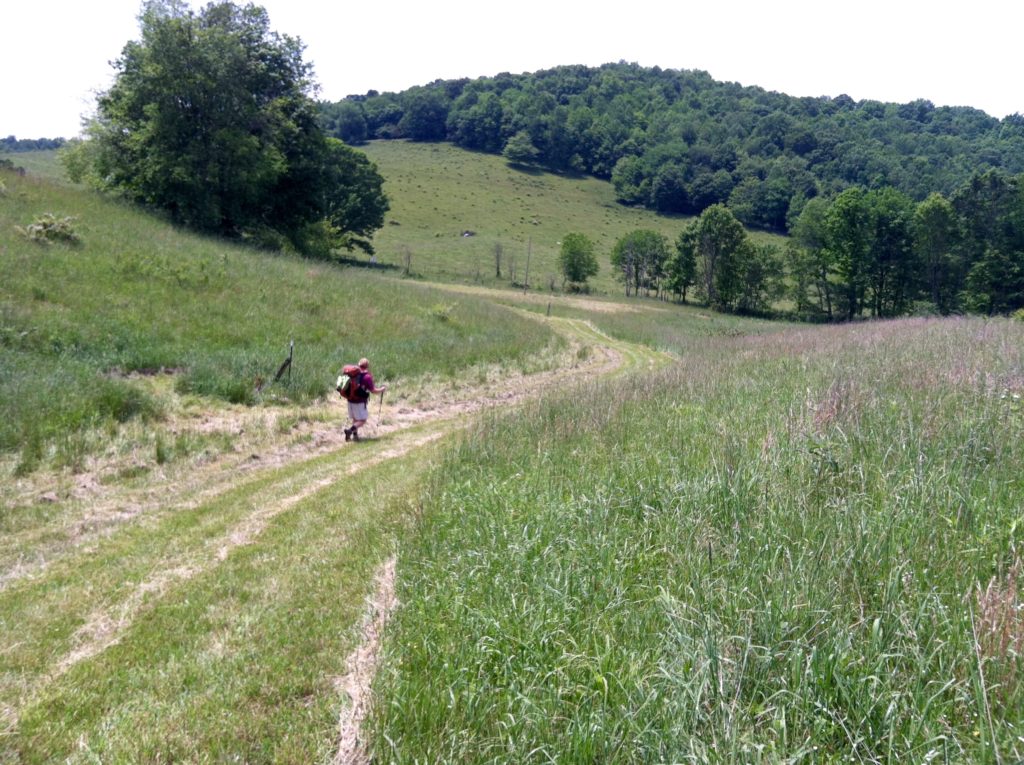
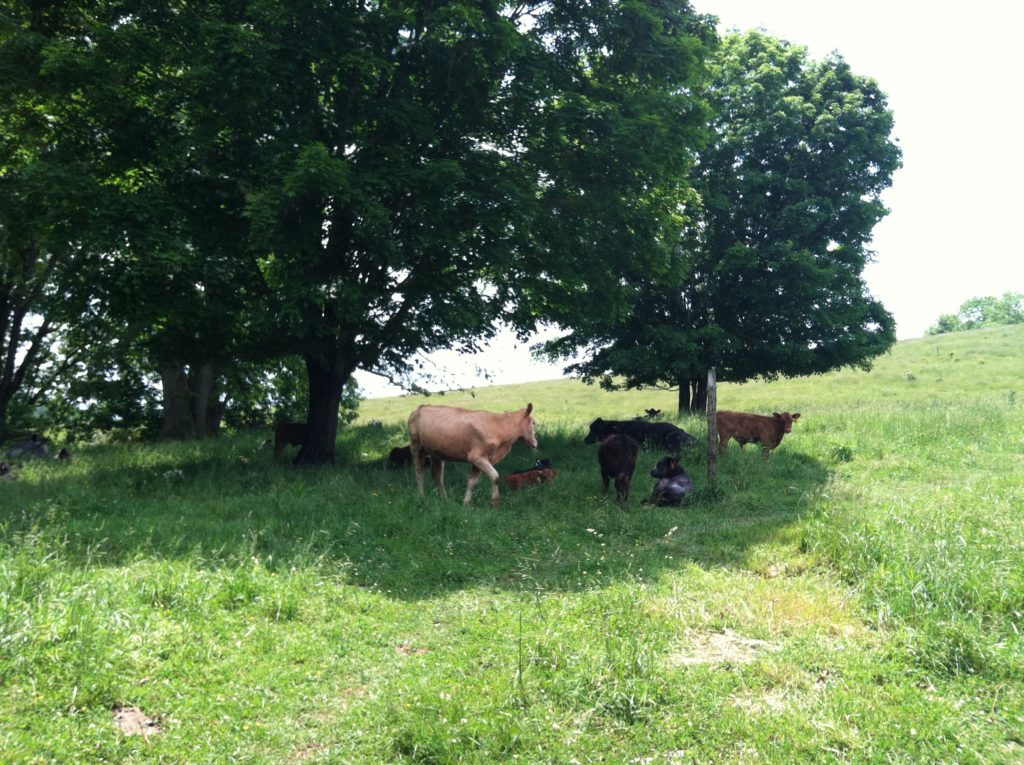
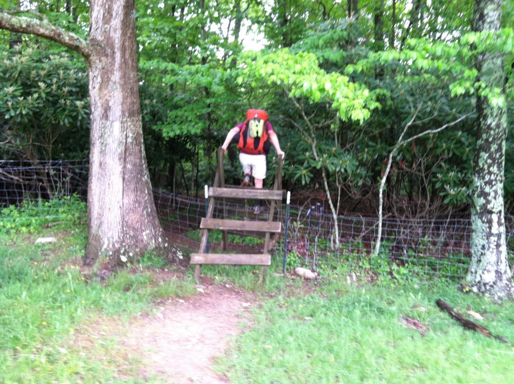
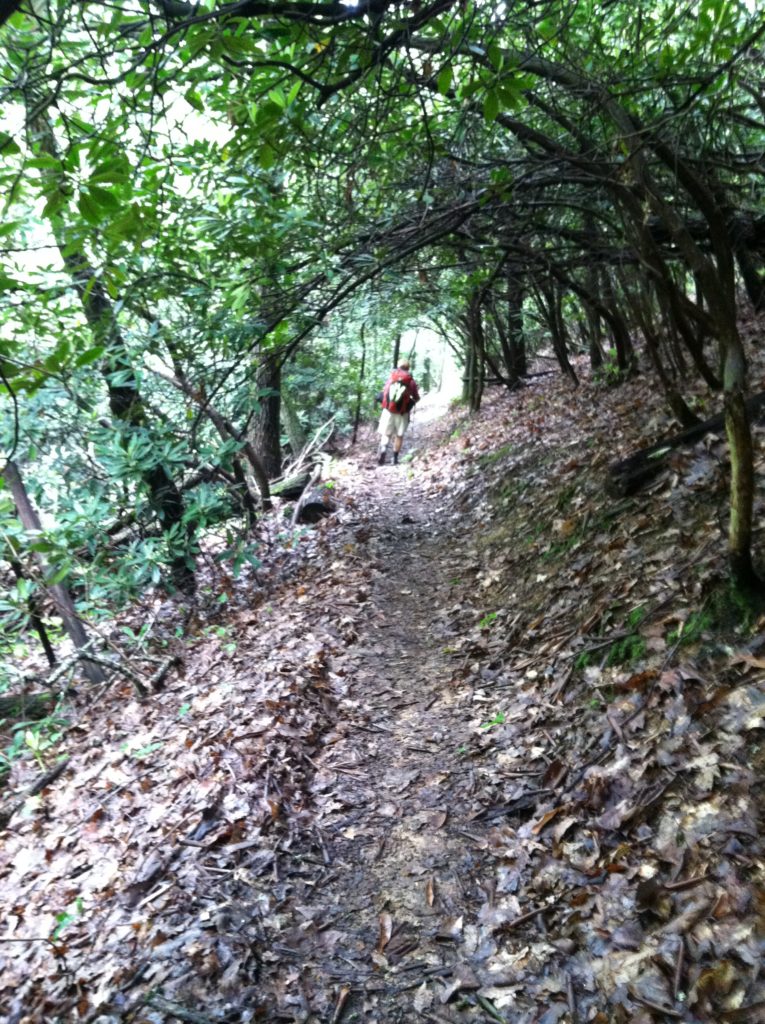
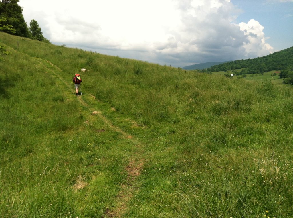
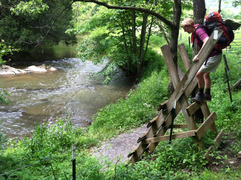
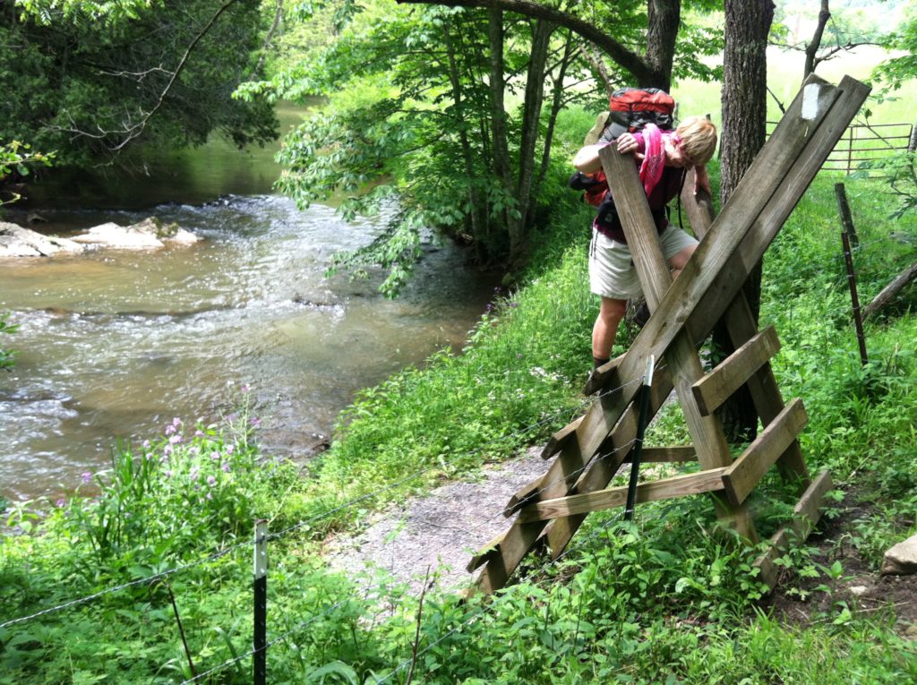
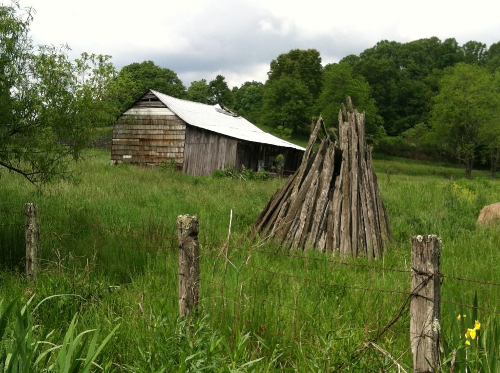
While the vast majority of the trail to date has been in the woods, today we passed through many cow pastures on private land, where the AT is only a narrow right of way. We enjoyed the pastoral scenes and the challenge of climbing stile after stile.
The only drawback to this shelter is the long walk to water, but N brings back enough for both tonight and tomorrow morning, and we are in bed early anticipating a big rain that never materializes. Just then a second wave of hikers arrives, all disappointed there’s no room left inside. Some stop to eat; some stop to talk; some pitch a tent; most eventually move on. The post Trail Days surge continues to be felt north of Damascus…
A heartfelt personal note from X to our faithful readers: We want to tell you how much we appreciate you coming along with us on this adventure by following along with us on our journal. Your notes on our Guest Book seem like letters at camp! We love to hear from you and thank you for your concern and prayers.
