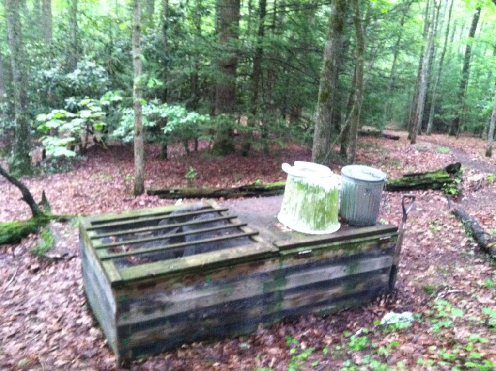
Chestnut Ridge and the Sunshine Quotient Conundrum [Plus we post a picture to explain the difference between a Mississippi outhouse and an AT privy. (with the difference being four sides!)].
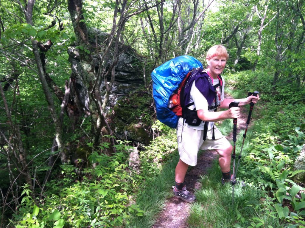
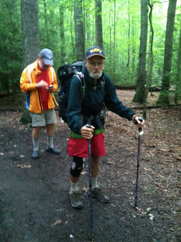
“One” started moving while it was still dark, and he was the first to leave the shelter this morning, followed by Little Wolf and Sixty-five. As we had no hot pancakes waiting for us four miles down the trail today, we spent a little more time on breakfast in camp, but still managed to get on the AT before 7:00 a.m. [We first met Sixty-five at the Hiker Hostel in Dahlonega. His trail name comes from his age eight years ago when he thru hiked the AT. This time he started walking in Key West and is going all the way to Canada. Although he was getting over a knee injury when he got to Springer Mountain, he was still hiking circles around us. He stopped for a few days in Damascus which allowed us to catch up with him. Although he descends like a man half his age, we are closer to his pace on climbs then we were six weeks ago.]
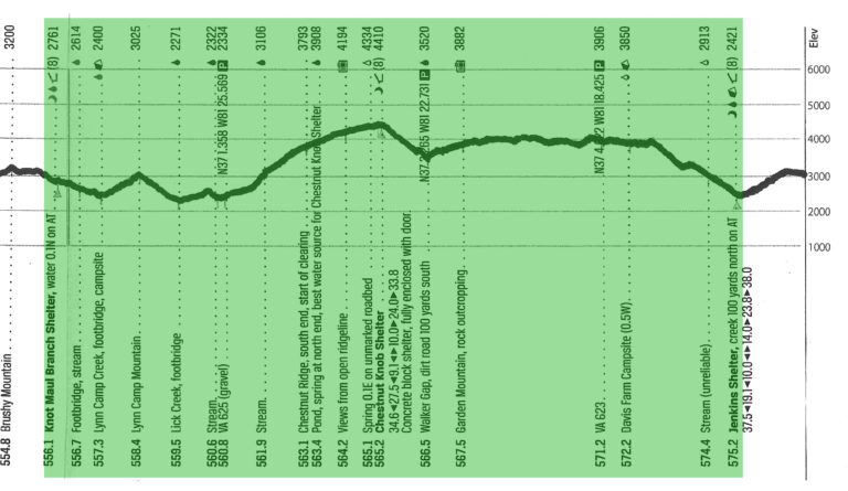
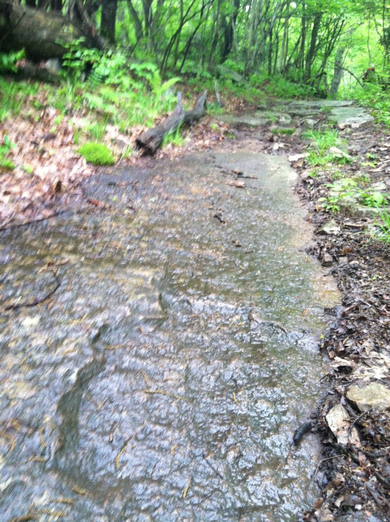
There was just enough rain last night (including a brief shower about 6:00 a.m.) to make the rocks slippery, and the weather showed no signs of clearing early. According to today’s profile, after going up and down Lynn Camp Mountain, the real challenge of the day would come with a 4.4 mile 2,000′ climb of Chestnut Ridge.
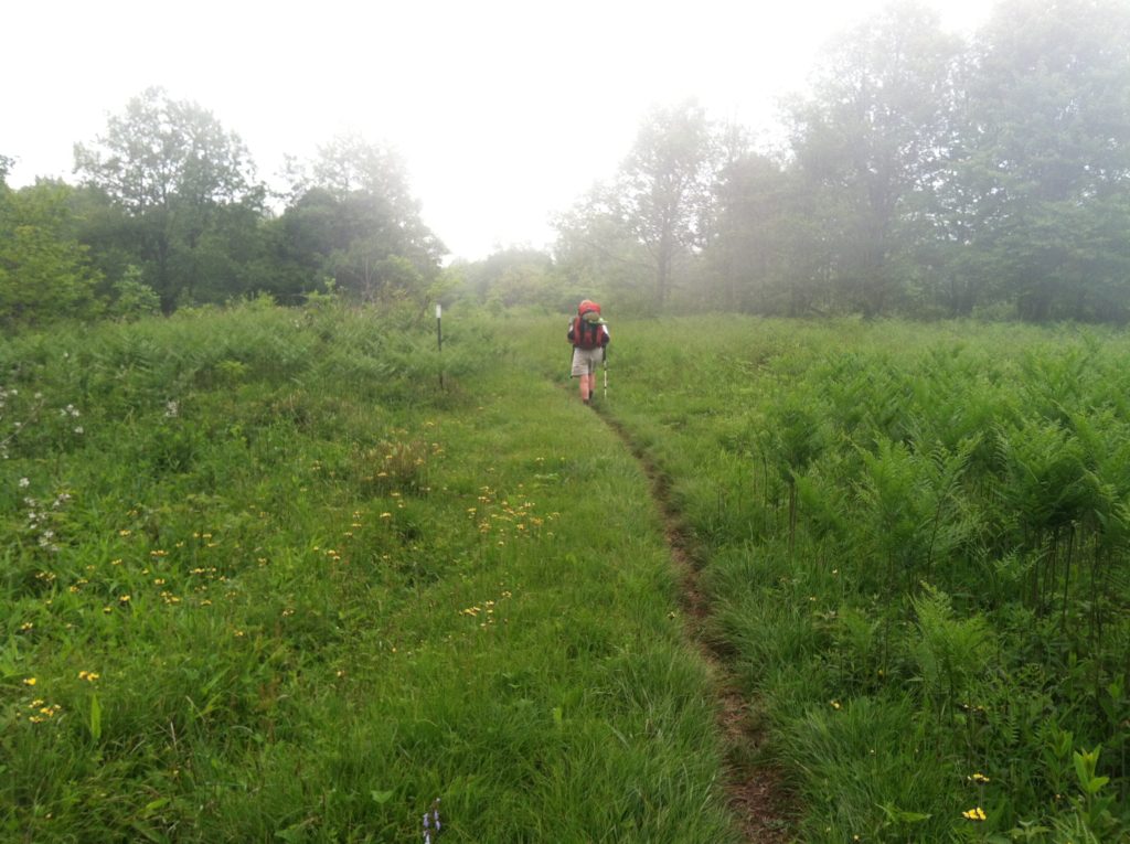
We have come to appreciate how important the Sunshine Quotient is to a thru hike. When the sun is out, like it was the day we left Marion, the Quotient is high and the hiking is good. However, we have discovered, like Vitamin C, the Sunshine Quotient is almost impossible to stockpile. We have had no luck setting any aside for a rainy day, like today. As soon as we started up Chestnut Ridge, we knew this wasn’t a day when we had it. It seemed every step was a struggle and that the climb went on forever. We should have been rewarded with nice views from the large clearing on top, but we found ourselves enshrouded in mist. It was all very depressing.
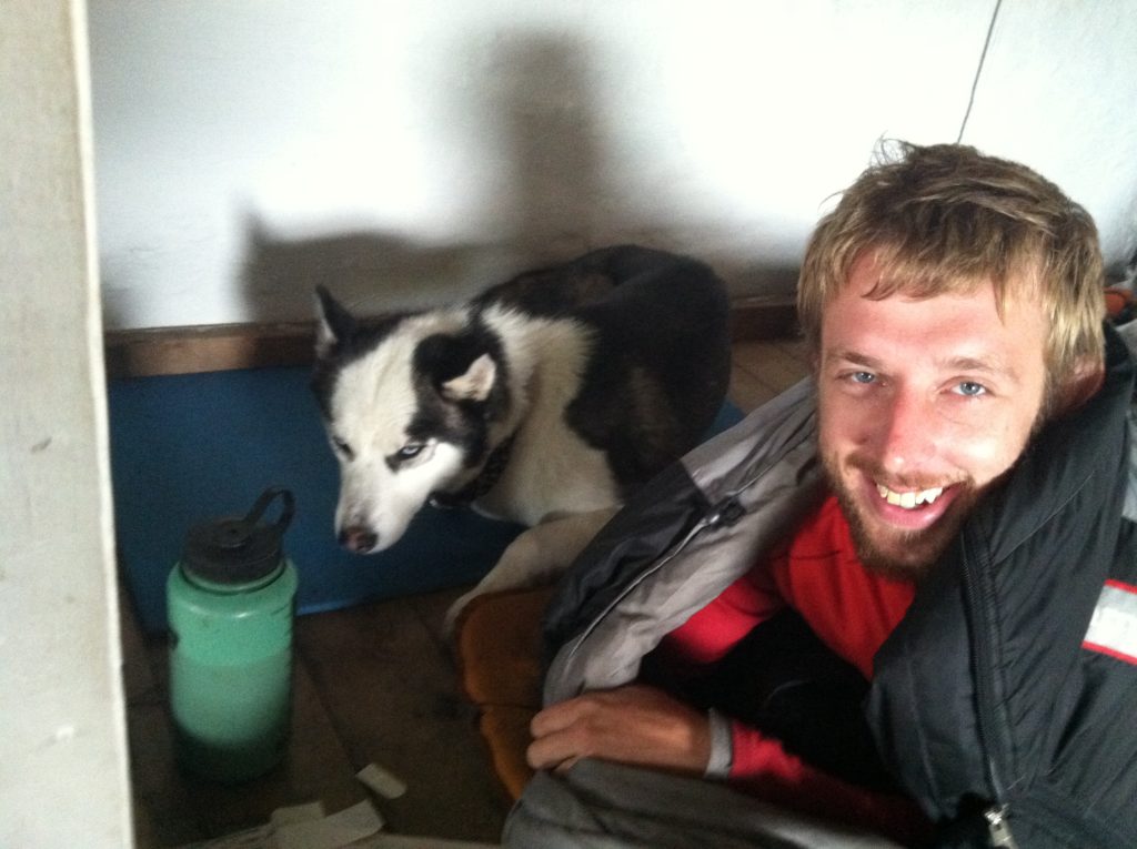
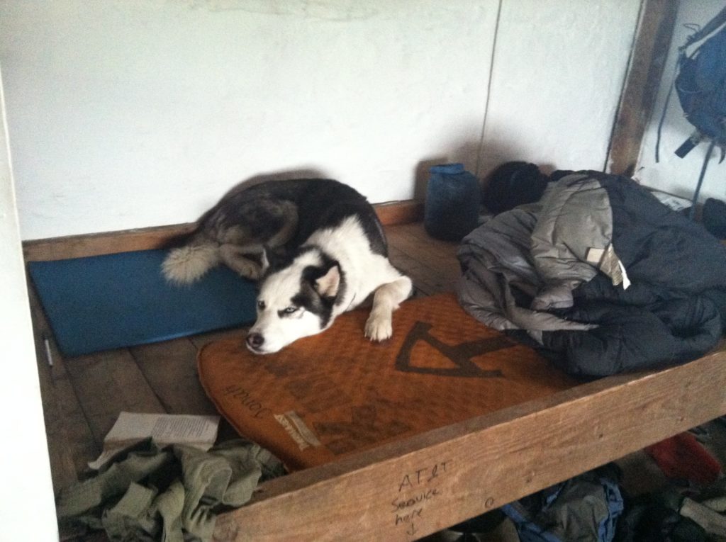
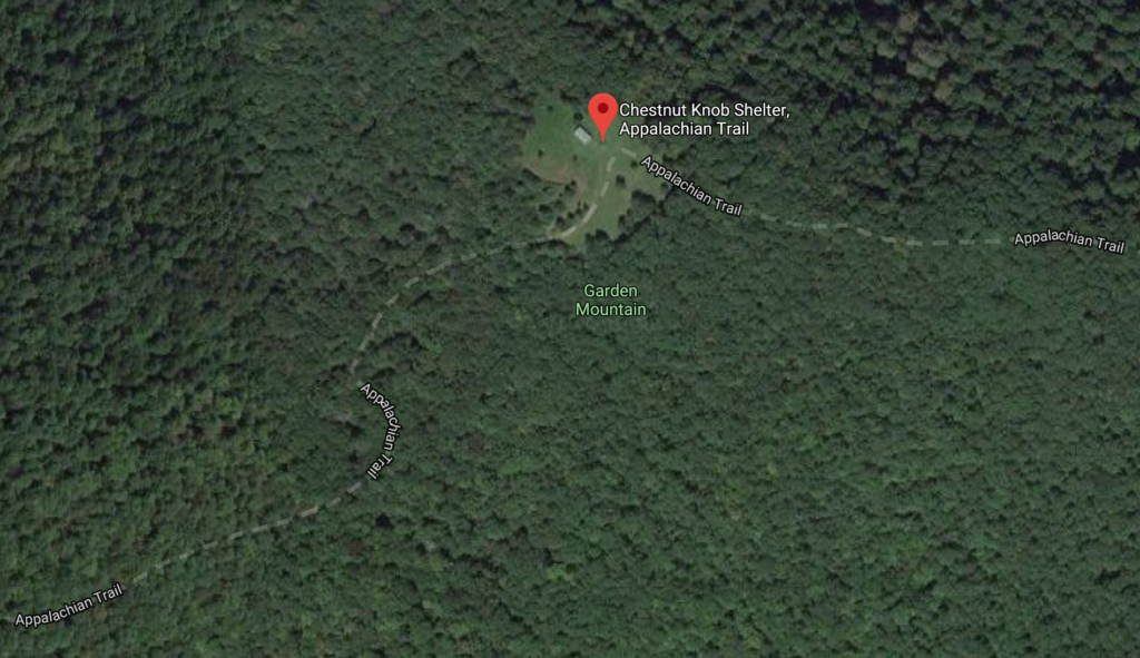
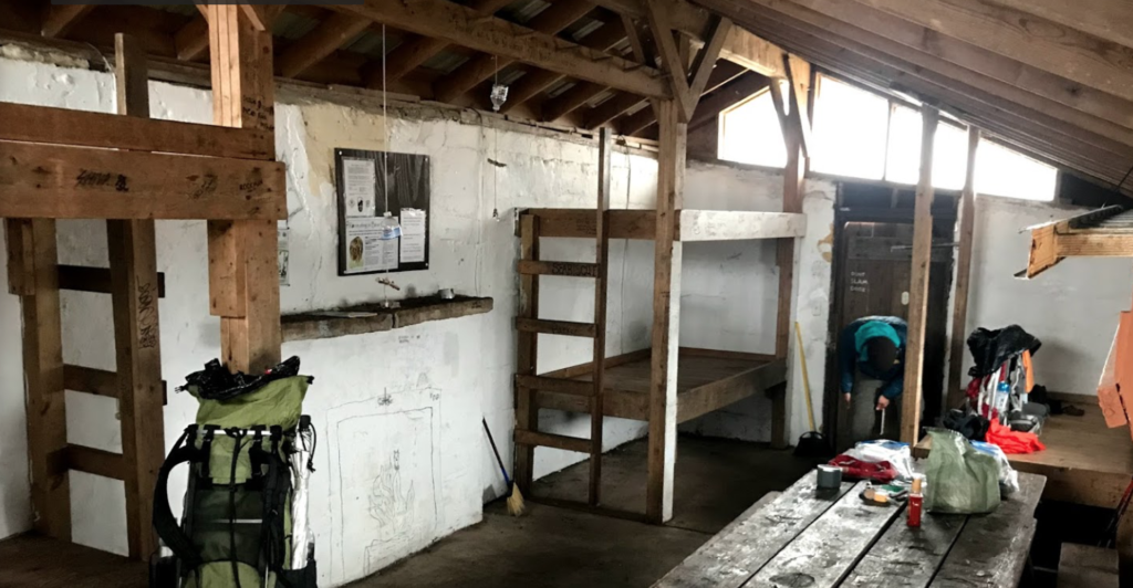
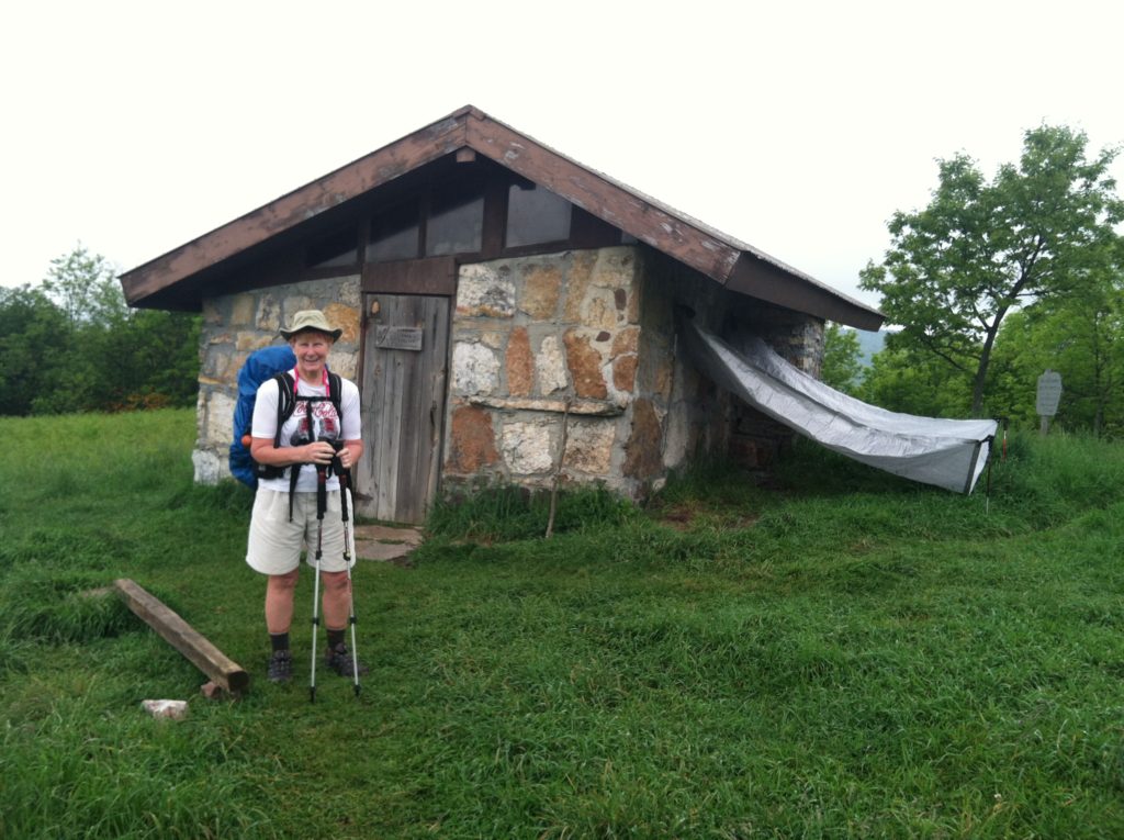
Finally, we reached the Chestnut Knob Shelter, where we stopped for lunch. Inside we met Jonah and his rescue dog Zephyr. Jonah was taking a rest day to deal with blisters he’d gotten from hiking in wet boots. He was in good spirits and we enjoyed the conversation as we ate our lunch. We worried he had no water source at the shelter, but Jonah had set up a tarp to catch the rain he was sure would come this afternoon.
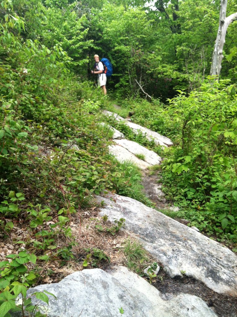
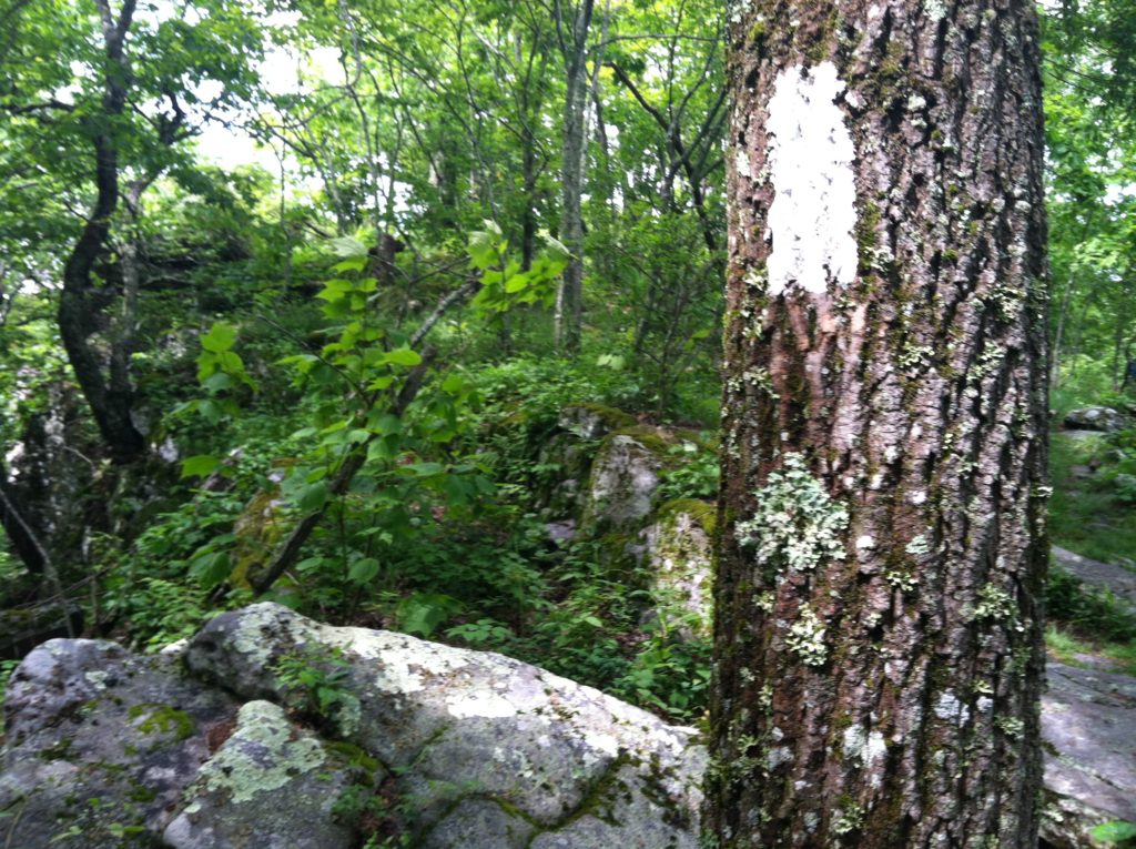
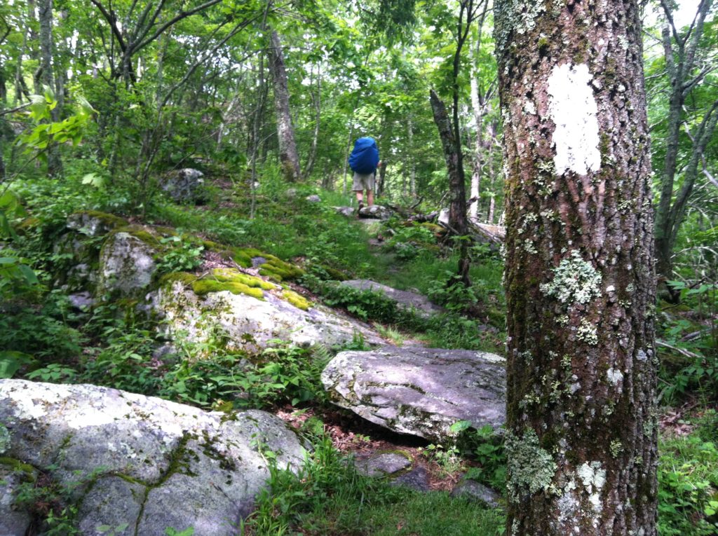
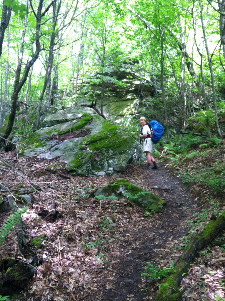
We were looking forward to an easy afternoon as the AT followed the same ridge for over four miles with little change in elevation. What the profile failed to show was how rocky this section of trail is. If anything, this section was more difficult than the morning’s climb. And combined with the continuing cloudy weather, our Sunshine Quotient was reduced to zero and when you factored in another five miles we still had to walk, maybe it was a negative number…
For the third straight day, we found ourselves trying to reach the shelter before we had to put on our rain gear. Today we lost the race, but finally pulled into the shelter about 6:00 p.m. to find One, Little Wolf, and Sixty-five already here (along with Funnybone, a hiker whose name we’d seen in shelter logs), and most important, we found space for ourselves in the shelter on yet another night with 60% chance of rain. Only two other hikers arrive at camp after us, one tenter and one hammock hanger, so the six of us have room to spread out in a shelter built to accommodate eight. For one night, at least, it’s nice to be ahead of the crowd again!
We have another high mile day to put in the book, but it was a difficult one to do. Tomorrow we plan a shorter day into town.
