The three o'clock decision (The thru hiker's daily quandary)
* * * * *
Addendum after a good night’s sleep: Well, whatta ya know! The sun did come up again this morning…,
“Oh sleep it is a gentle thing/ beloved from pole to pole./ To Mary Queen the praise be given/ she sent the blessed sleep from heaven/ that slide into my soul.“
Morale Killer of the Day: After lunch our reliable mistake-free AWOL 2012 AT Guide listed few landmarks, so it was difficult for us to track our progress (or lack thereof). We were greatly relieved to come on a new USFS wooden sign telling us we had 5.2 miles to the shelter. An hour later we were devastated to learn the figure on the sign was short by TWO miles. We never recovered from that discovery.
People on the trail, new and renewed acquaintances: EMT, a 20-year old EMT, was back on the trail after a three week vacation to visit his girlfriend in Blacksburg. By his own admission, he may be back on the trail too soon. X is worried about him. Retread, who we had stayed with at both Mountain Harbour and “the night the lightning hit the tree,” showed up late in the evening, along with Greenhorn (also keeping a Trail Journal). We jumped past them when they zeroed in P-burg. We enjoyed talking to Retread over breakfast.
N canvassed his shelter mates and resolved not to be the only one to hang a bear bag, so hung a mouse bag instead. Leaving the shelter, less than 200 yards down the trail, N was surprised by a bear snorting in the brush so close he could feel the breath! (OK, not really, but X did get a good look at the south end of a north bound bear tearing through the woods…)
* * * * * [And now on to today…]
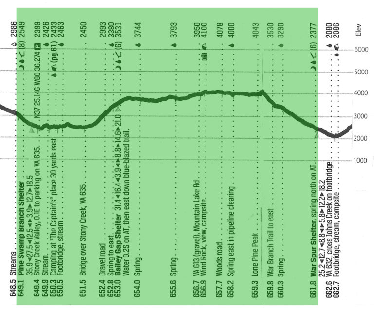
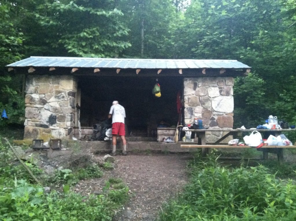
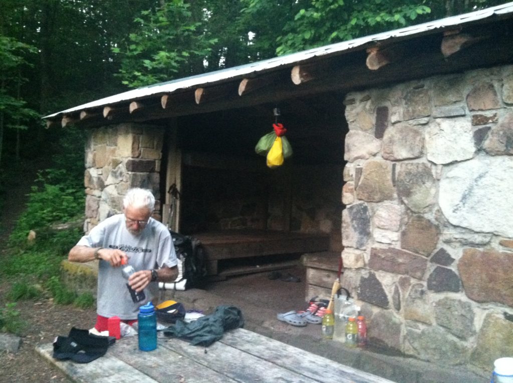
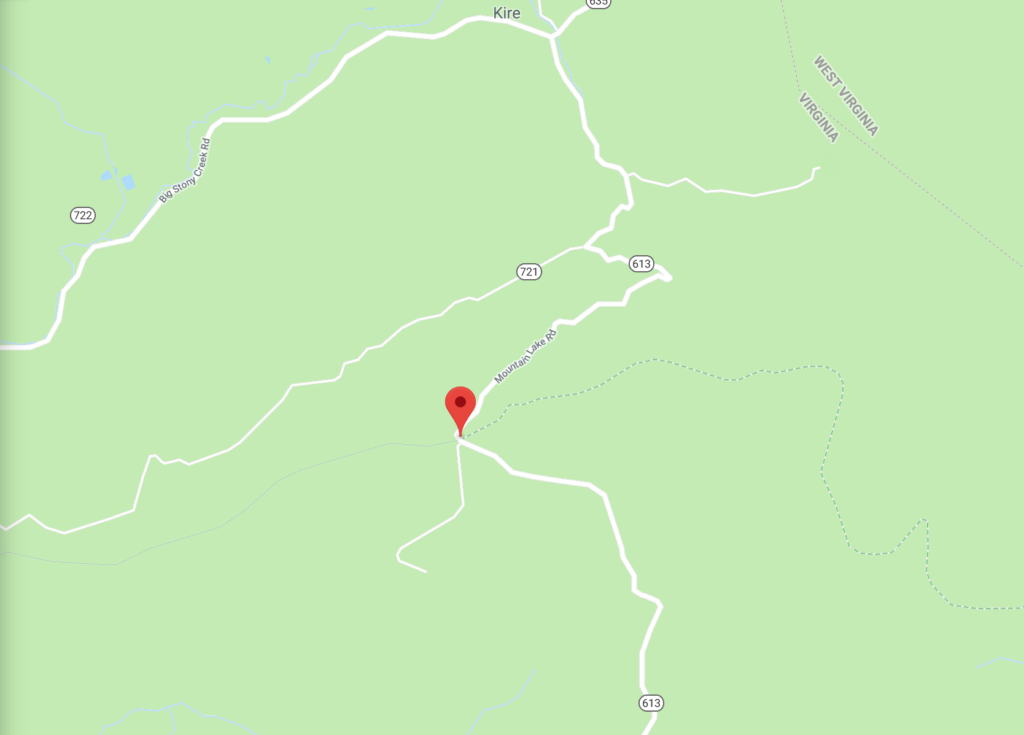
We arrived at War Spur Shelter at 3:00 p.m. On the two and a half-mile, 1,600′ walk down from Lone Pine Peak, we’d heard rumblings off in the distance and saw ominous dark clouds off to the west. However, at the shelter, the sun was back out, and there was not a cloud to be seen above us. What to do? It was too early to stop for the day, but the next shelter was 5.8 miles further along. And while we couldn’t get a current weather update, yesterday’s forecast had been for rain this afternoon, then more rain tonight. Plus, there wasn’t a good camping spot with water between the two shelters. Stay or go? Stay or go?
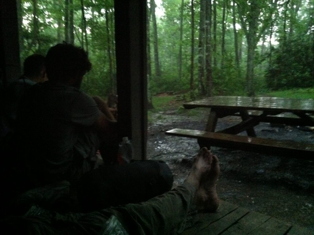
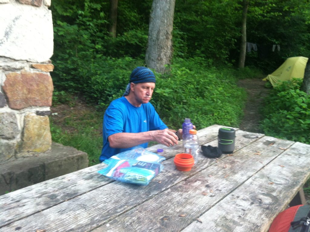
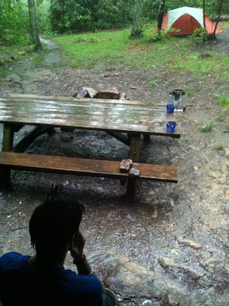
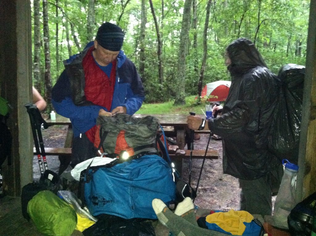
After ten minutes of indecision, we decided to not chance it and pulled off our hiking shoes. We’d take our time, air out our gear, wash today’s clothes, take really good “sponge” baths, get tomorrow’s water ready, and fix an early dinner. Several other hikers stopped in, facing the same decision to stop or push on. A few followed Sixty-five’s earlier example and headed on to Laurel Creek Shelter, but when the bottom fell out just as we were finishing our meal, we were very glad we had stayed! Two and a half hours later, the thunder stopped, but the shower seems to have settled in. EMT had everything ready when the rain started and ducked in his tent to spend the evening reading. Late arrivals Retread and Greenhorn got tired of waiting for the rain to stop, and set up their tents in the wet. We all hope the predictions the rain will be over by morning are correct.
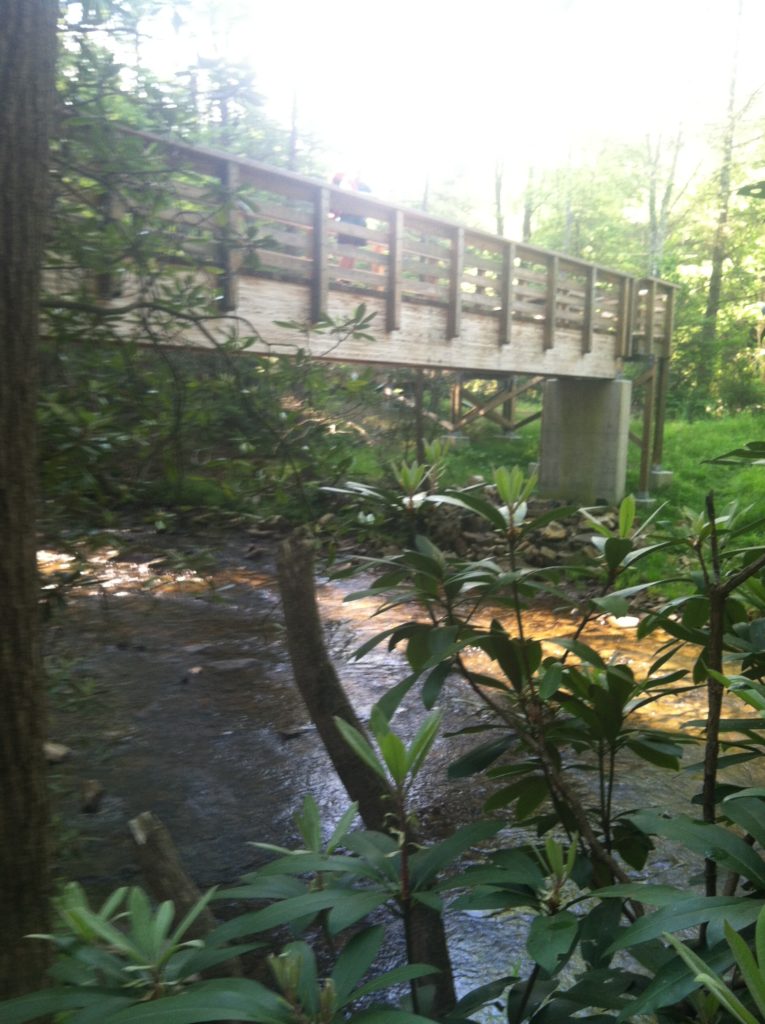
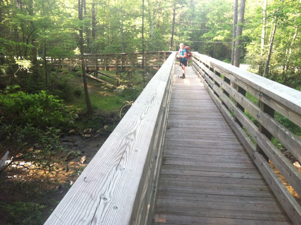
As for the end of our seventh week on the trail, we are at least glad we got in our minimum daily requirement of 12.66 miles. We saw the zip line to the Captain’s, and talked to several young folks who stayed there last night. The footbridge over Stoney Creek at VA 635 was as impressive a construction for getting us over water as we’ve seen along the AT. Phone reception was terrible all day long, making it tough to get yesterday’s pictures back to the Base Camp Manager. First time we’ve gone a whole day with that as an issue. The trail never really had a good view to the east, and when we could see off to the west, we were surprised at how few structures were visible in the distance.
We need to pick up a package in Newport, VA, tomorrow, so we hope the trail starts out kind to us, and not like the rocky sections we had to deal with this morning…
