McAfee Knob! (Plus the Tinker Cliffs)
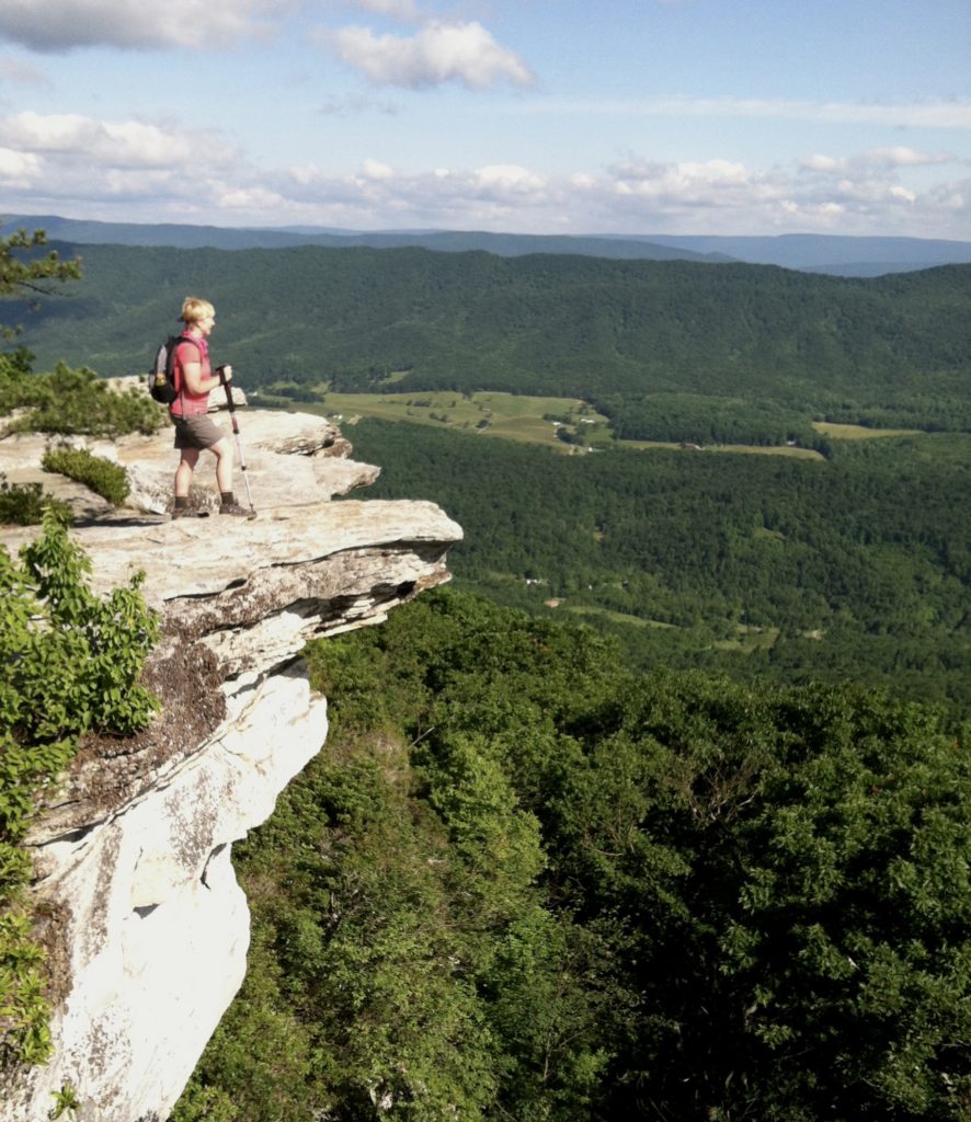
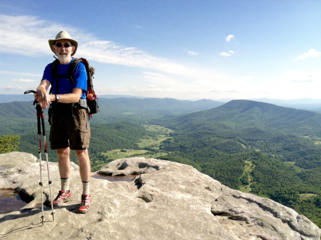
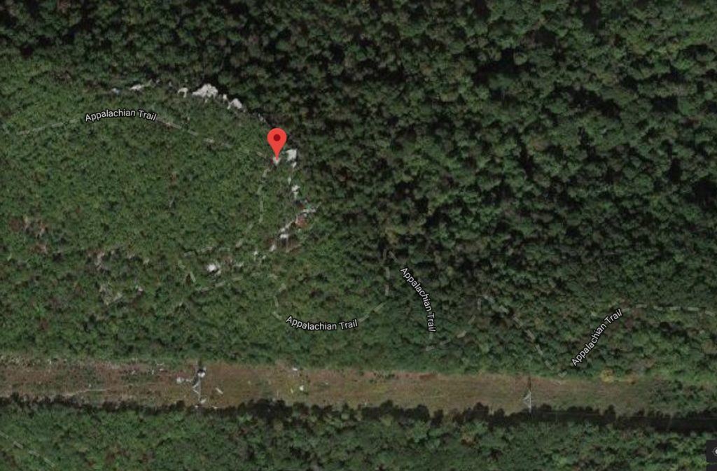
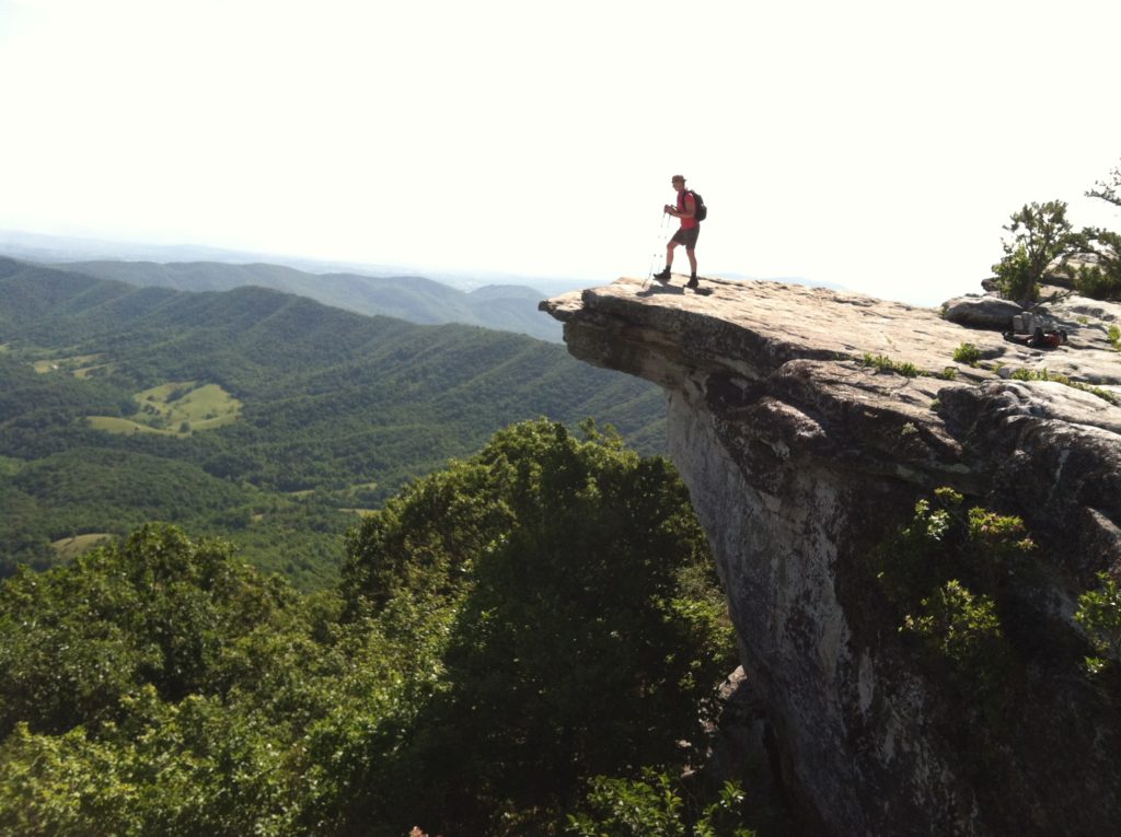
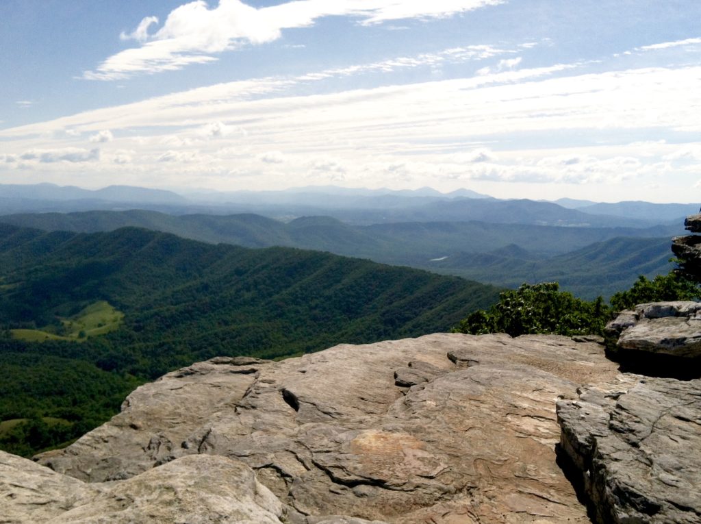
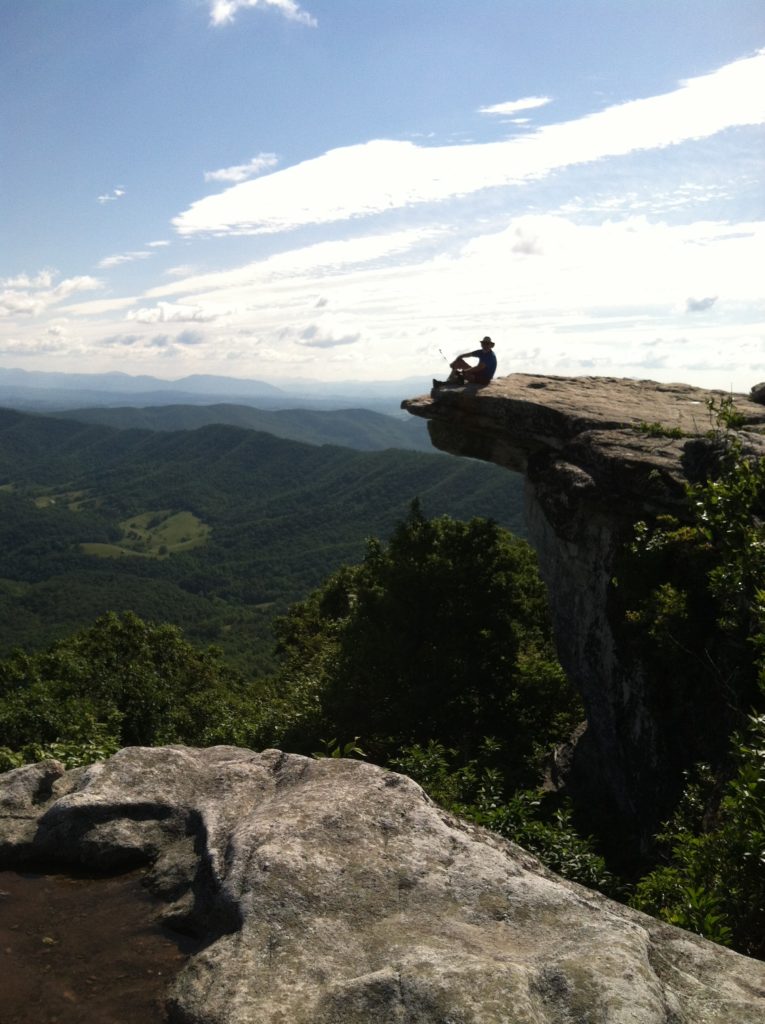
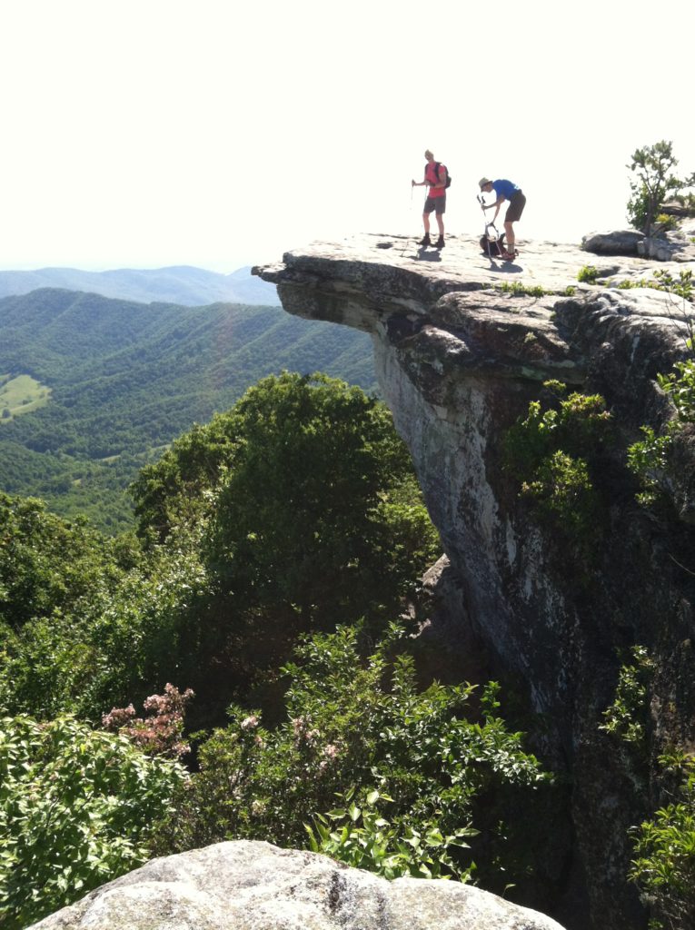
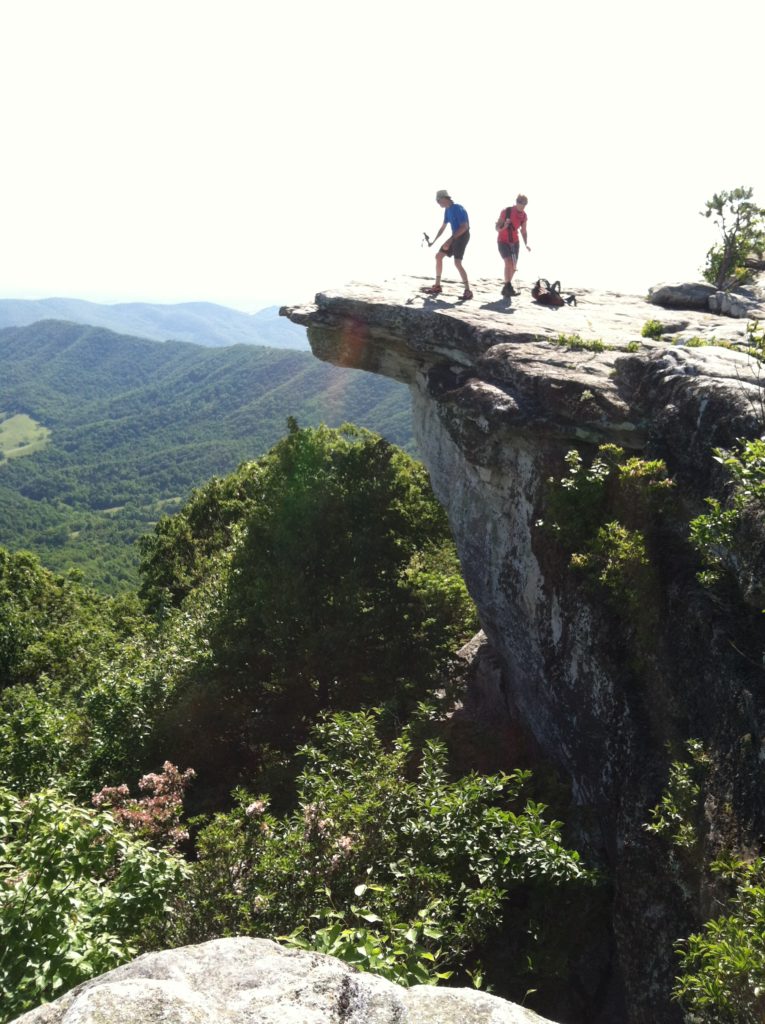
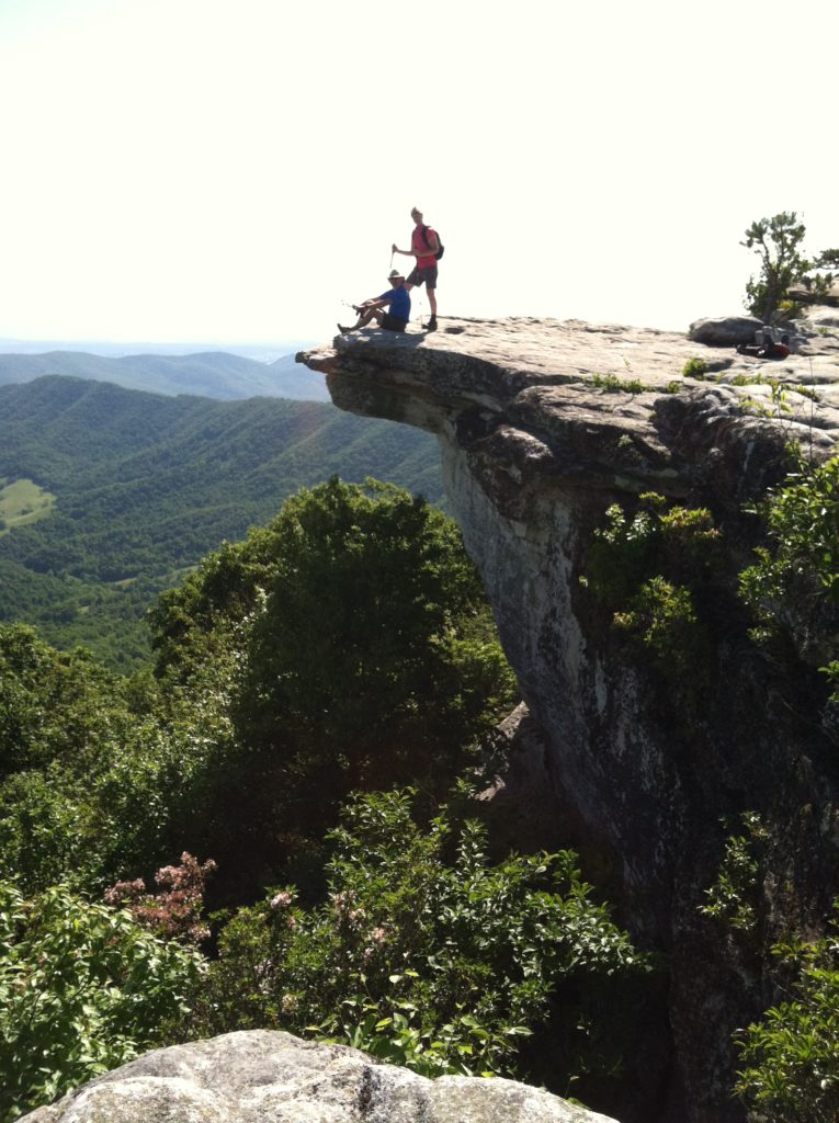
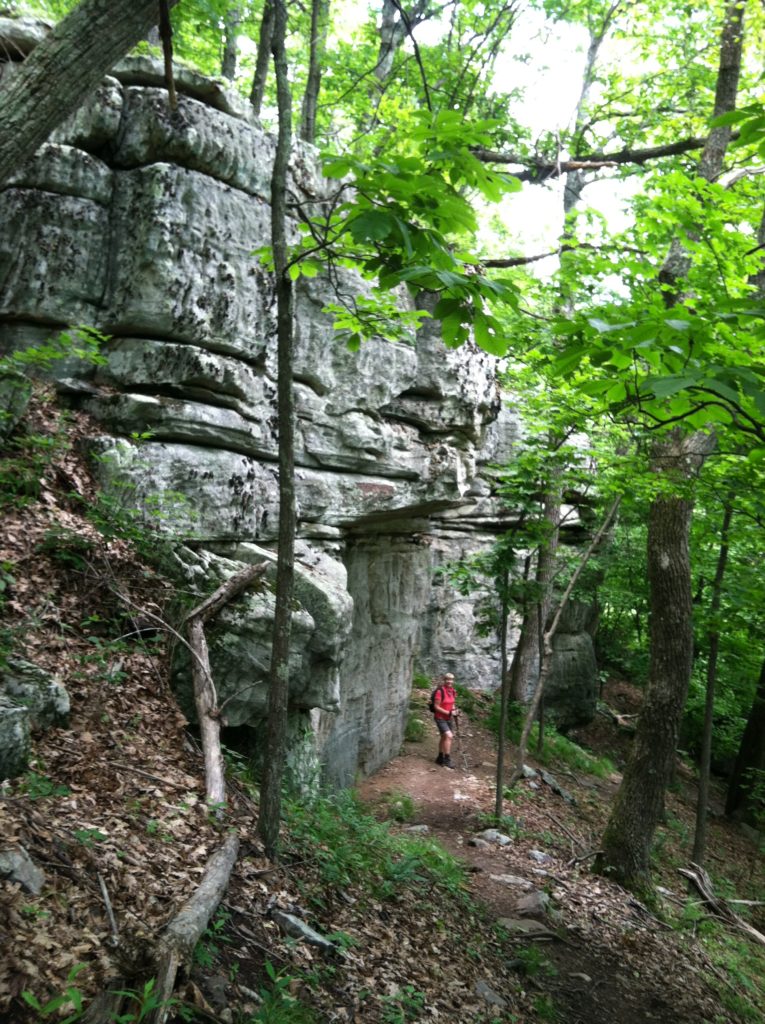
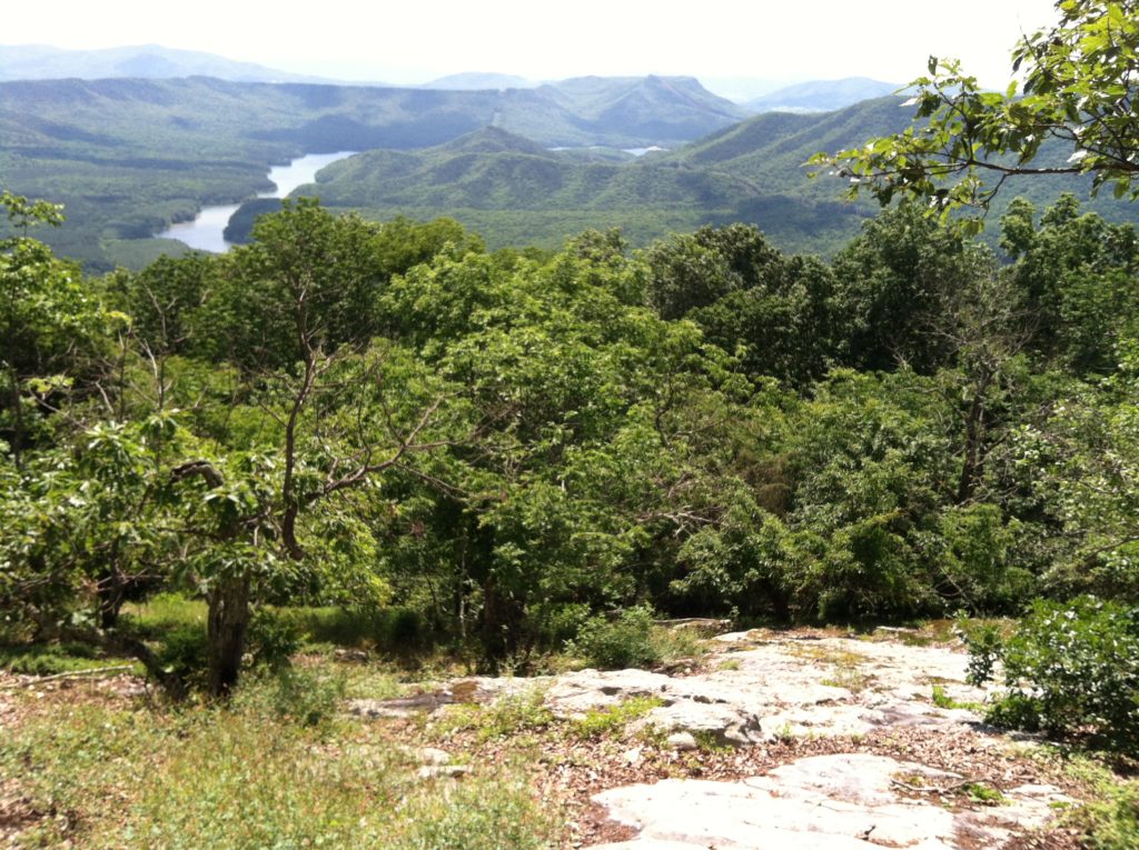
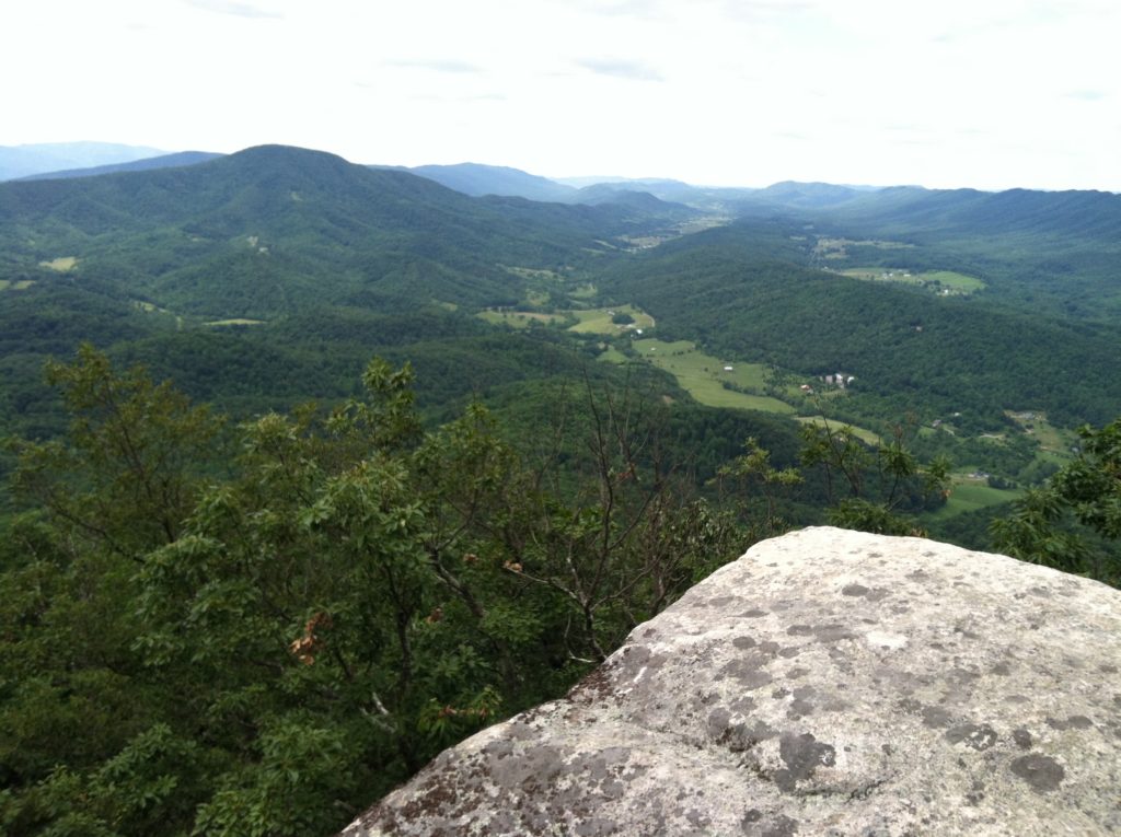
In Virginia, McAfee Knob is the Appalachian Trail’s poster and postcard icon, certainly one of the most photographed spots as the AT winds its way across the Old Dominion state. The Knob has an almost 270 degree panorama of the Catawba Valley and North Mountain to the west, Tinker Cliffs to the north and the Roanoke Valley to the east.
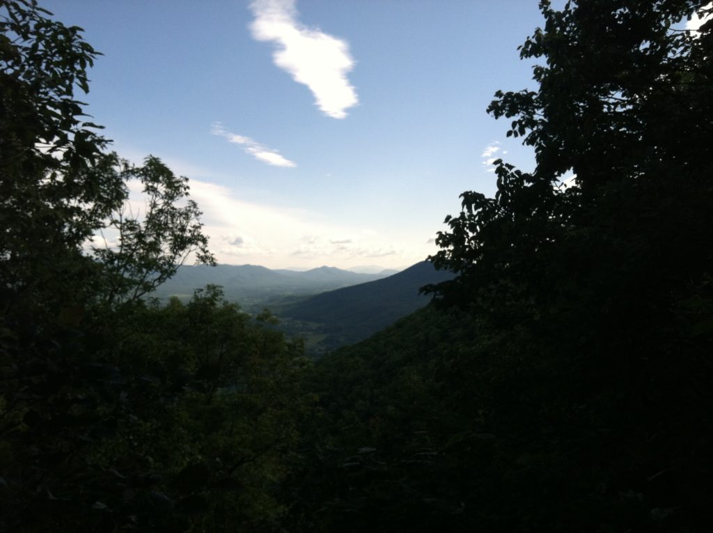
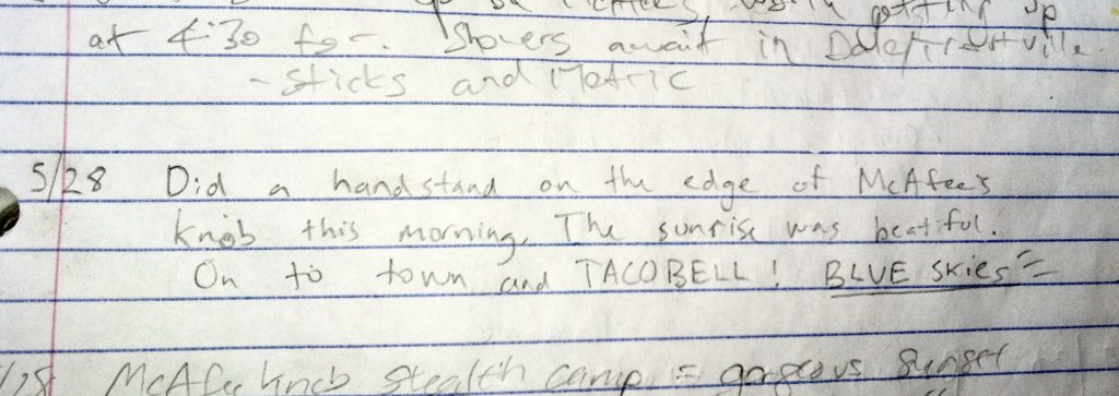
With the passing front last night clearing out all of the clouds, we were blessed this morning with the most amazing clear views from the Knob you could possibly ask for! We doubt 1% of this year’s visitors will have as good conditions as we enjoyed early this morning. The visibility was so good, we thought except for the curvature of the earth we could have seen all the way back to Clingmans Dome, maybe even back to Springer Mountain! Our thanks again to our PTA (personal trail angel) Billy for making it happen, especially getting us back to the trail first thing so we could climb to McAfee before the typical haze had a chance to reform…
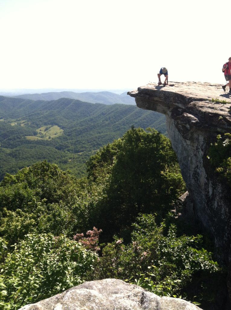
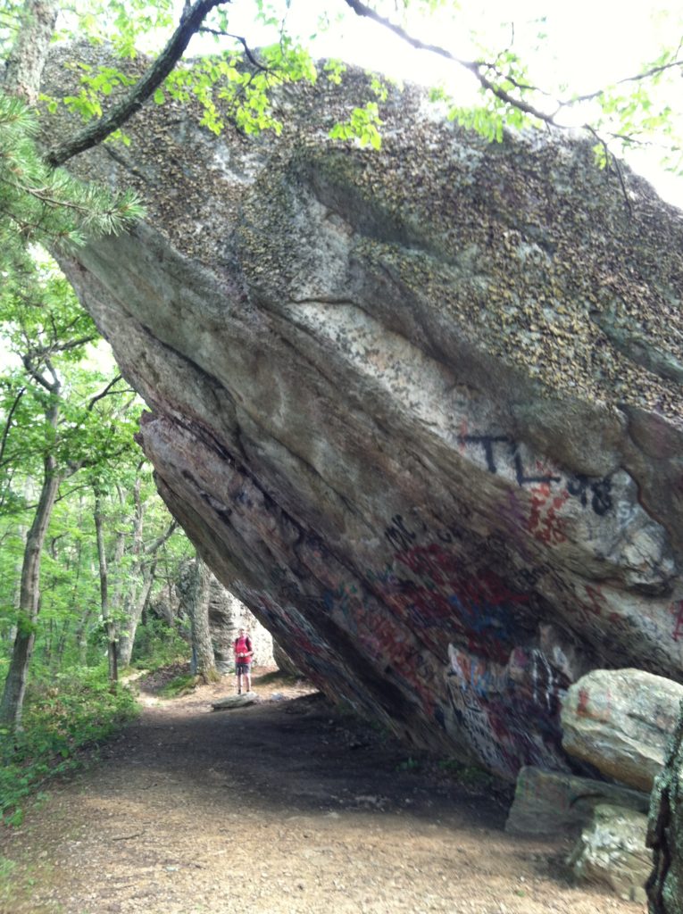
[The only downside was the angle for the iconic photos of the Knob during our visit faces directly into that bright sun, and the backlighting made it difficult to get great photos. On our approach, we came to stand on the Knob before X got to see the side view and realize when we stood on the end of the knob, there was absolutely nothing under us…]
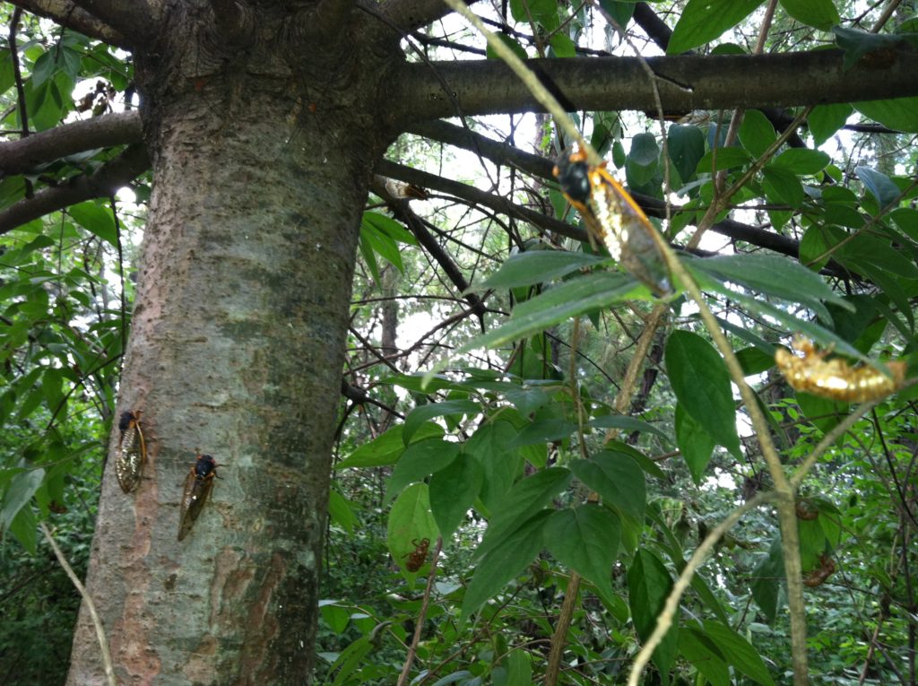
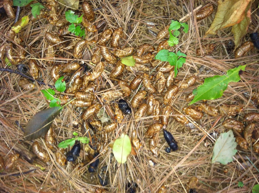
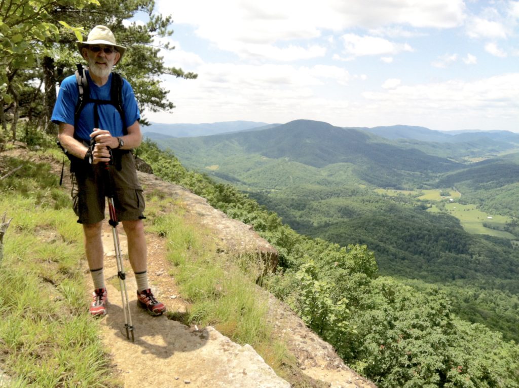
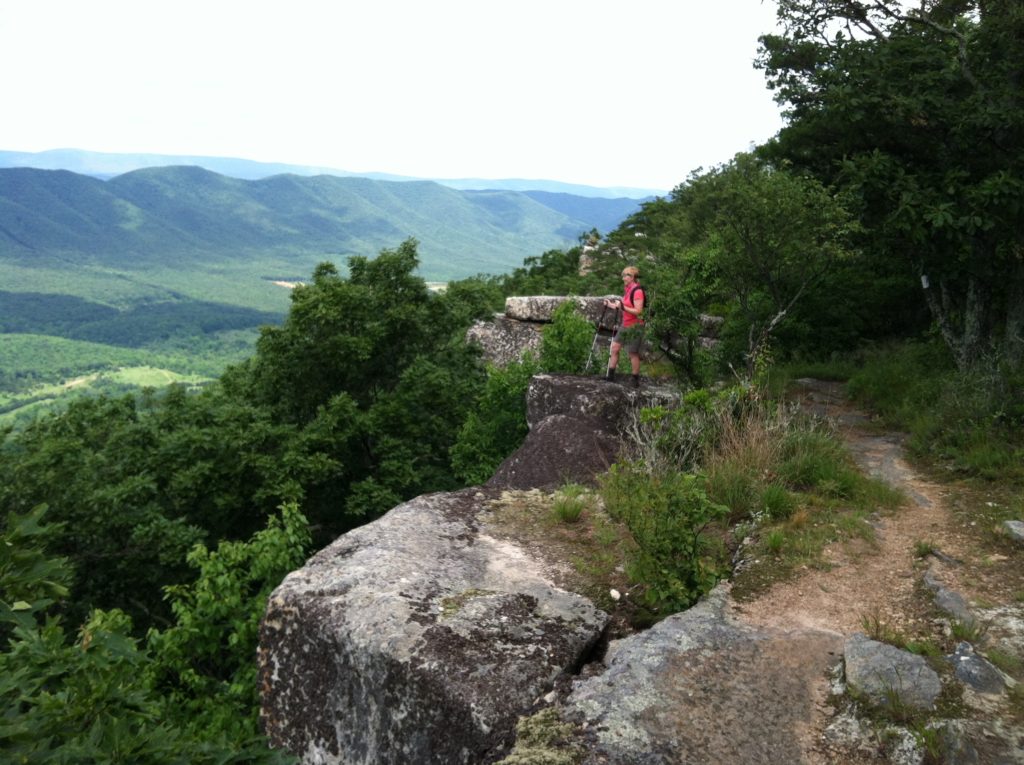
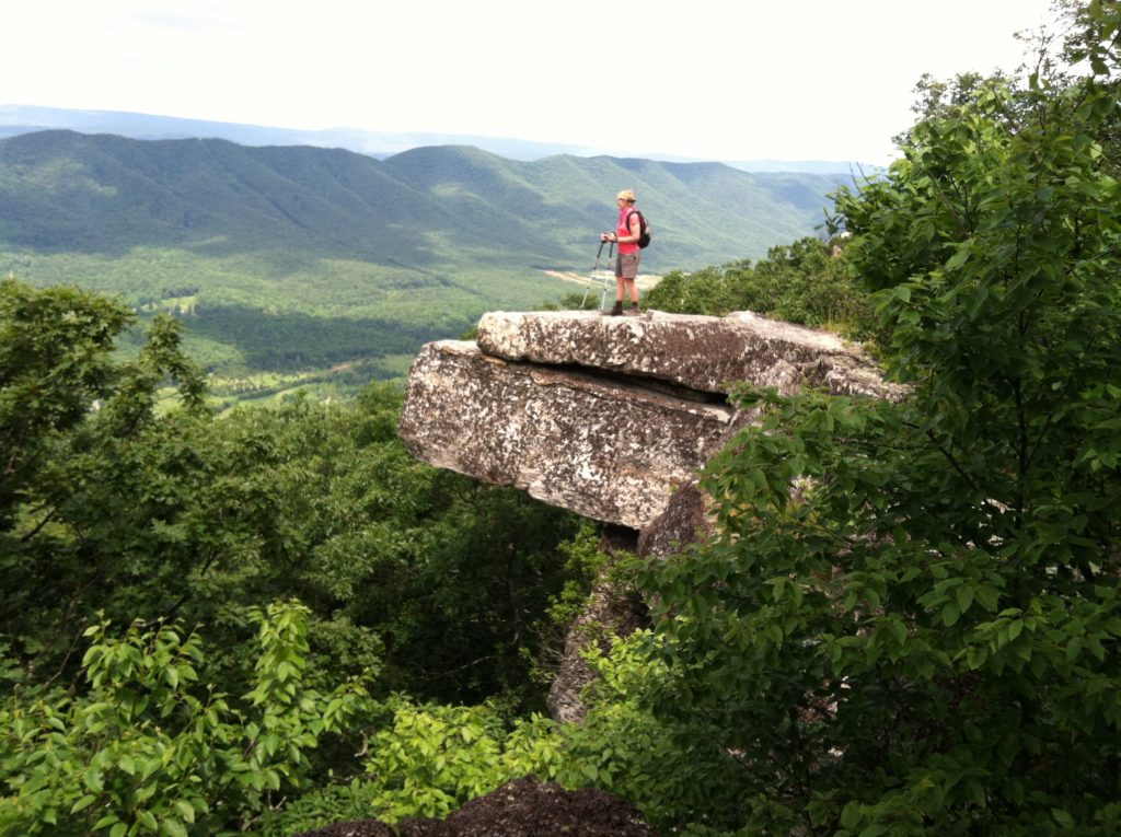
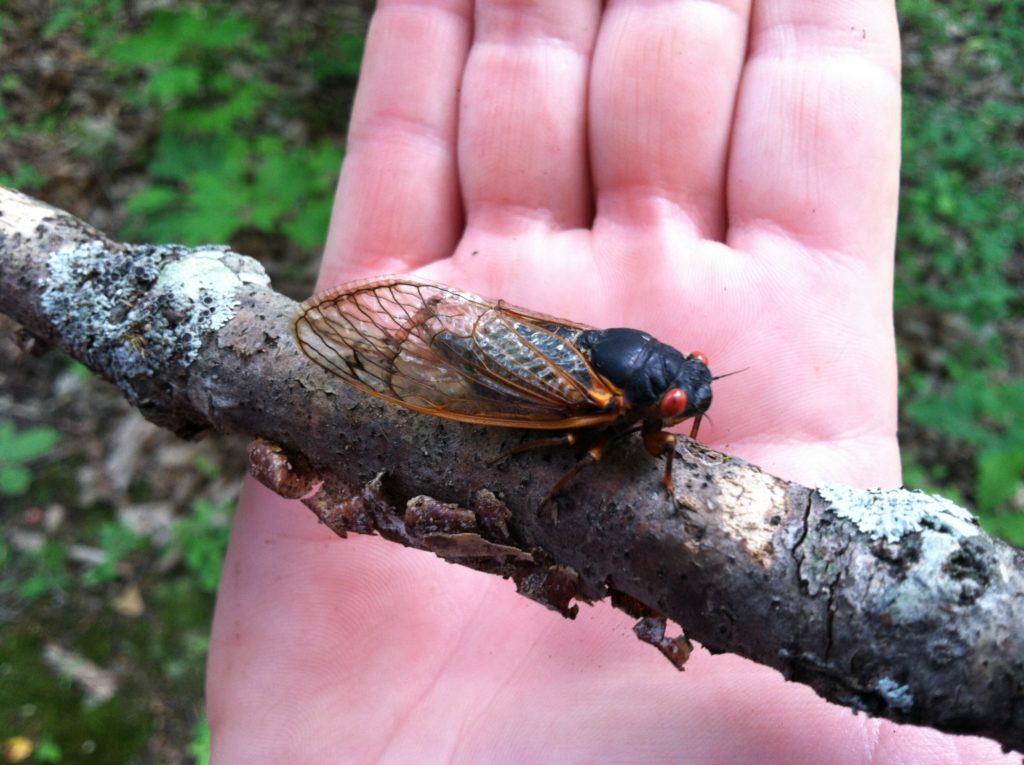
After McAfee Knob, we continued on to the Tinker Cliffs, and finally into Daleville, a long day, but considering the weather (sunny, cool), the trail conditions (a lot of gentle flat grades), and the scenery (again, just amazing views!), this was the best day of the trip so far. Other folks have mentioned the 17 year cicadas. When we were down in the gaps, their steady hum was with us all day, with piles of dead bugs visible as we got close to US 220. And finally a backpack report: Shock Too, being a section hiker since he joined the team only in Damascus, decided to take an extra zero day and stay home with the tent. He really was not missed. Awe carried an extremely light load, but kept his record intact for passing every white blaze on the trail…
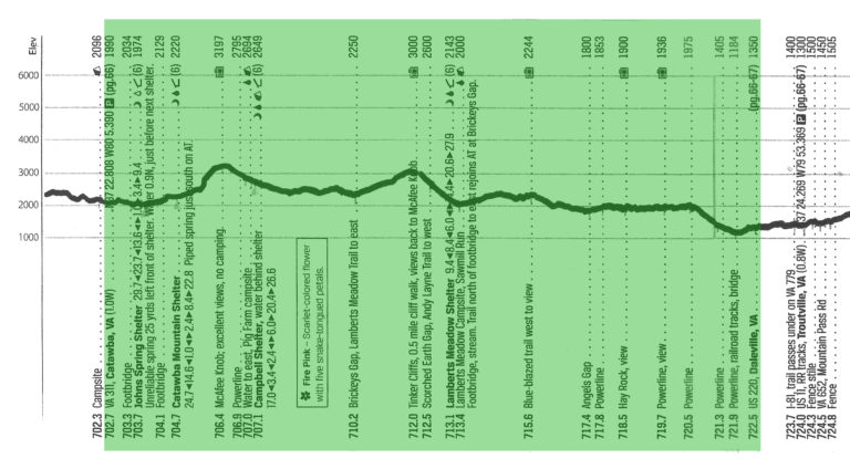
From: VA 311 (Roanoke, VA)
To: US 220 (Roanoke, VA)
Today's Miles: 19.8
Total Miles to Date: 722.5
[Our daily elevation profile comes from David "Awol" Miller's 2012 "The A.T. Guide," which we found to be invaluable. Get your updated copy at www.theATguide.com]
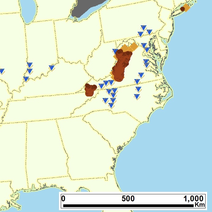
Brood 1 of the 17-year periodical cicadas of eastern North America. (Magicicada)
