On to the BRP (We see hardly anyone all day until we arrive at the Bobblets Gap shelter)
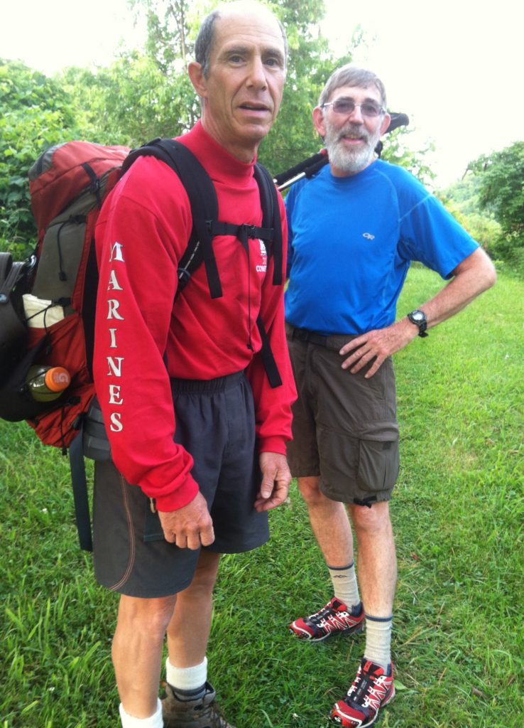
Billy had us to the trailhead at Daleville by 7:00 a.m., then went the extra mile – literally – by carrying N’s pack for the first 20 minutes! Billy, you and Connie are the best! Thanks for your three great days of hospitality. It’s been unmatched the rest of our trip…
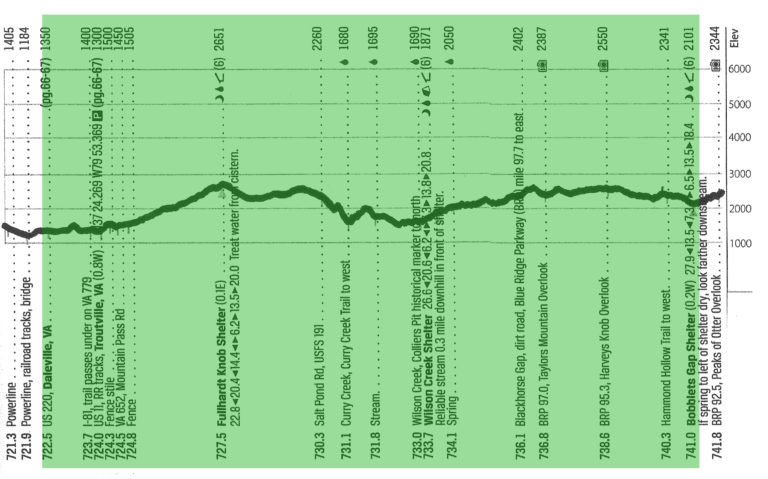
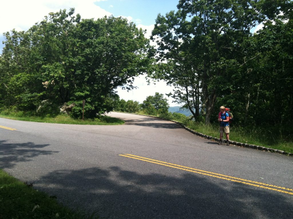
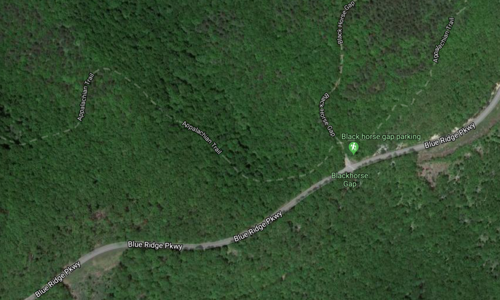
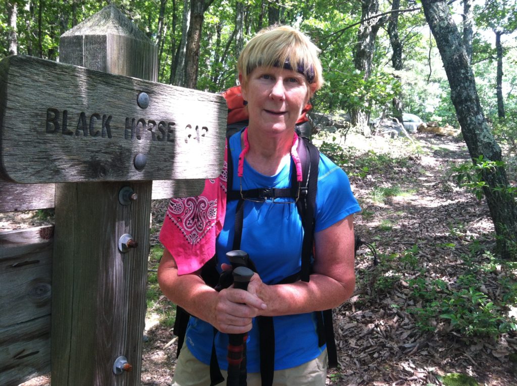
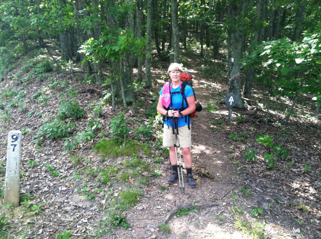
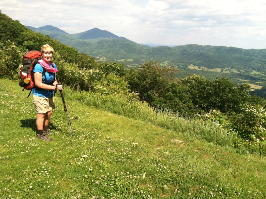
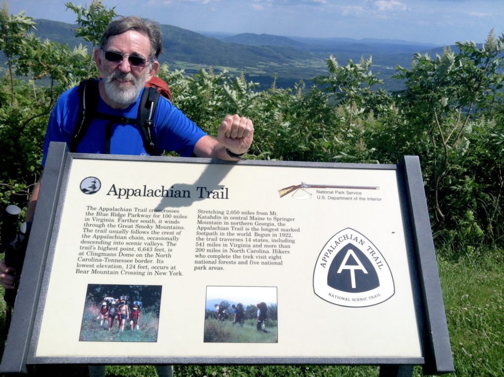
The five mile, 1200′ climb up to Fullhardt Knob was not bad at all. We took a lunch break at the second shelter (Wilson Creek), then refilled our water bottles at the next spring (a really easy water source). We then had a 2.5 mile climb to the Blue Ridge Parkway (BRP), where the trail paralleling the paved road was sometimes quite rough, but the views were spectacular as we were having another glorious weather day. We arrived at an empty Bobblets Gap Shelter about 5:30 p.m. However, before we could filter water or finish fixing dinner, folks started wandering in. Except for Retread, Greenhorn, and Crazytop, it’s all people we’re meeting for the first time. A congenial group and a great day back on the trail.
From: US 220 (Dalesville, VA)
To: Bobblets Gap Shelter (VA)
Today's Miles: 18.5
Total Miles to Date: 741.0
[Our daily elevation profile comes from David "Awol" Miller's 2012 "The A.T. Guide," which we found to be invaluable. Get your updated copy at www.theATguide.com]
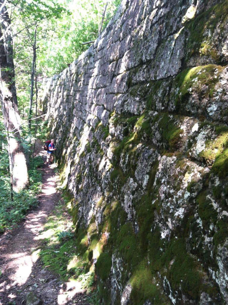
Collier Pits
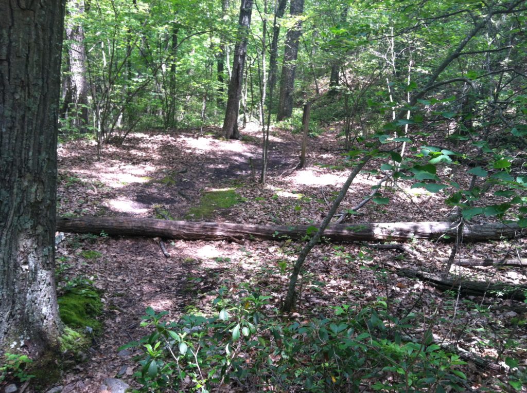
[A hardly legible interpretive sign told us this had been an area of collier pits. Charcoal was produced by burning wood in a controlled burn. This generated charcoal rather than ash. The term “pit” is a misnomer – the site of a charcoal burn did not require a hole in the ground. Instead, the collier (an individual responsible for making charcoal) cleared a flat area 30-40 feet in diameter. A great deal of care was taken to remove all brush, roots, and stumps. The area was hard and smooth to permit easy shoveling and raking of the charcoal after a burn. Most importantly, the site was completely level – a critical requirement to achieve uniform burning of the wood. An AT hike: always educational…]
