We are washed over by a wave of young machos! (And have a tougher day than anticipated) (plus the return of the newts and the end of the cicadas)
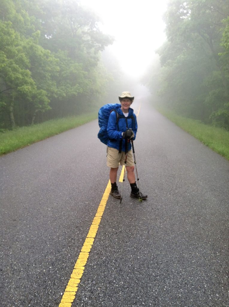
We awake to 52° rainy weather. The thick fog and wind at 3,100′ make it seem much chillier. We of course have seen much colder temps, but that was before sending winter gear home for the summer months. 75% of the folks at the shelter (that would be everyone except Greenhorn) complain of being cold.
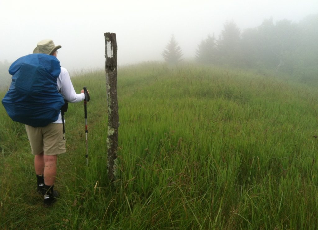
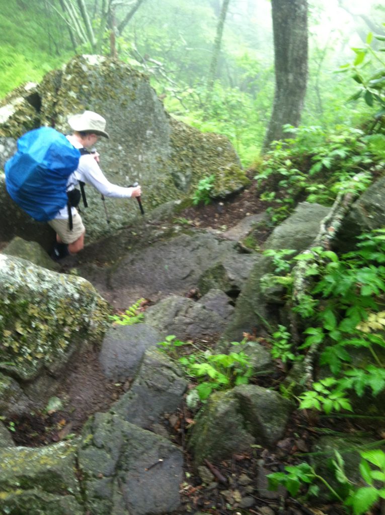
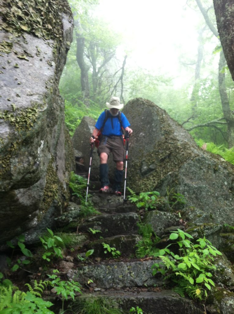
We are thankful for the dry shelter to fix breakfast and pack, before we don our rain gear, girding ourselves for the wet day ahead. But as soon as we start, the rain ceases, not to be seen for the rest of the day. Back in Georgia, the trail’s heavy use in this weather would have churned up several mud holes, but this morning it’s only slippery rocks and roots to slow old folks like us down.
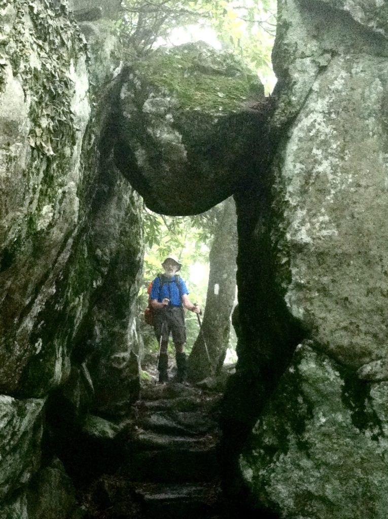
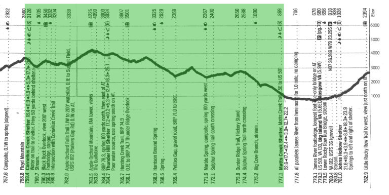
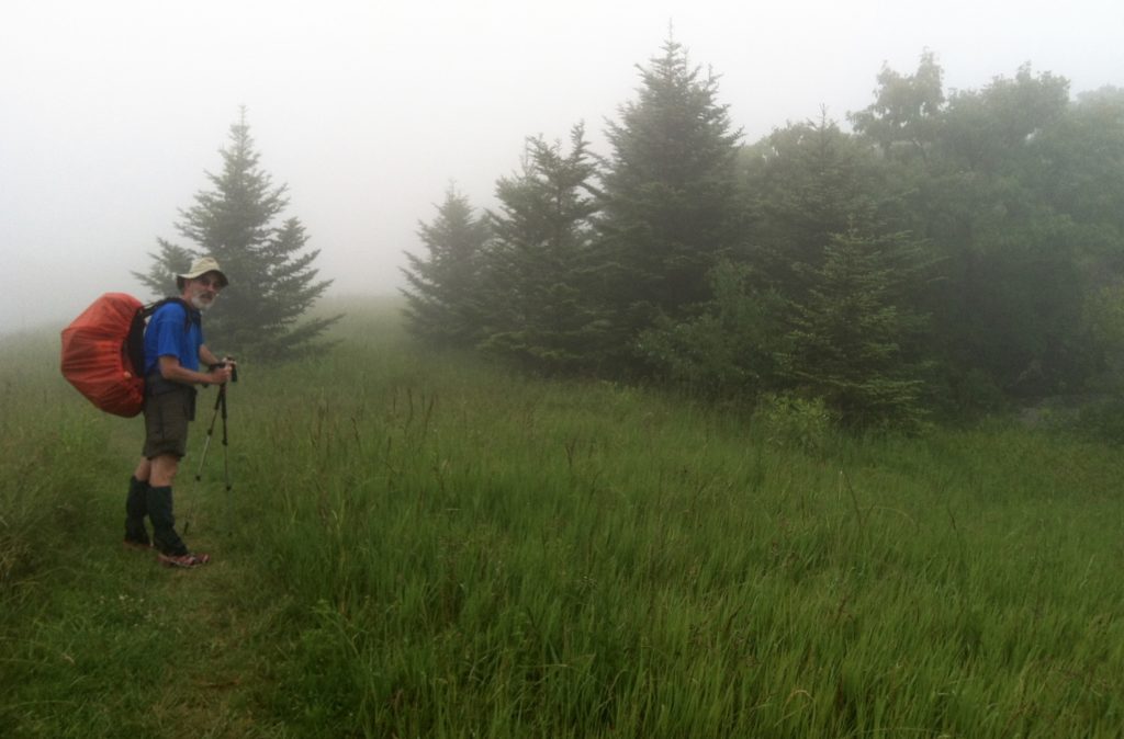
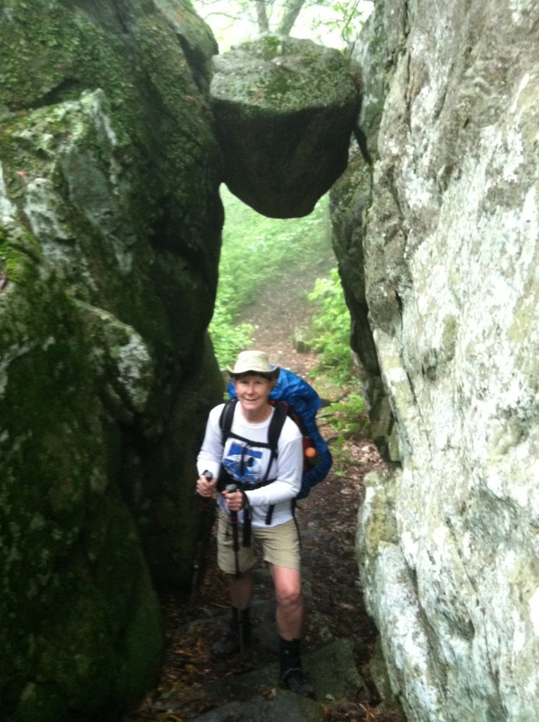
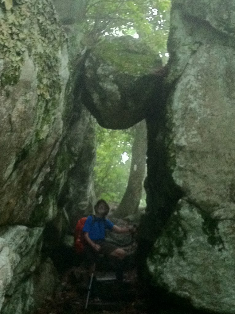
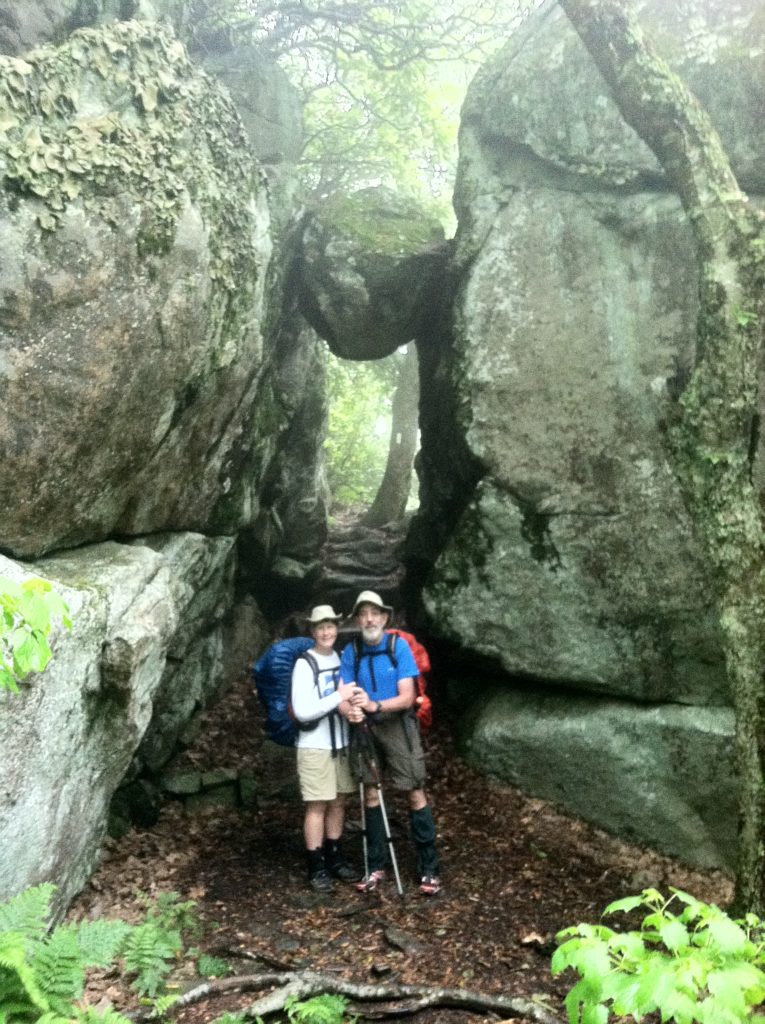
The fog negates several views mentioned in our guide, but the famous Guillotine formation is still impressive as we march below it. So, add much picture taking to the list of things that slow us down on the way to Thunder Hill Shelter. It’s only 5.3 miles from the start, but it’s over three hours getting there.
Just before the shelter we encounter the start of a phenomenon that will continue all day. After yesterday’s almost deserted AT, today we are overwhelmed by a tidal wave of young men hiking the trail. These young machos all carry super light packs and all move like gazelles. Only one or two have we met before. They’re all friendly as they breeze by, but it is very depressing to folks stuck in a much lower gear… Even more so when they stop for a long break and then do it again!
With eight long miles to go, we stop for lunch at Petites Gap, reputed to be the last spot with cell service before a trip into Glasgow. The next two miles are a steep rocky climb up and immediately back down that catches us by surprise. We feel like there’s little left in our tank. Then just when you’re ready to start hating the AT, the sun comes out and we hit a mile-long smooth gentle section of trail with only one left turn so we can see the inviting path way far ahead. We are zooming.
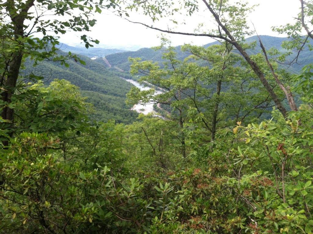
The final three miles down to the shelter is harder, but we are compensated with great views of the James River below, and a spacious shelter site with a beautiful stream. We decide to tent, hoping the forecast is 70% clear, rather than 30% chance of rain overnight.
Note: The weather was such those orange newts we saw so often back in Tennessee were out in force (at least two dozen!). Which is to say it was wet. Yesterday we came down into a drainage and it was quiet. No cicada sound. Then the next drainage the sound was back. But today not a cicada to be heard all day. Maybe we’re out of their range…
A note to Sixty-five: although we were glad to get an update report on your whereabouts today (we’ve missed you!), we were sorry to hear you needed to leave the Trail for a while. We understand (but probably not as well as you) the toll it can take and we hope you are back as soon as possible. You are an inspiration to us and we are so glad to have shared the trail, some good times, wonderful conversations, and great meals with you…
From: Cornelius Creek Shelter (VA)
To: Matts Creek Shelter (VA)
Today's Miles: 17.7
Total Miles to Date: 777.1
[Our daily elevation profile comes from David "Awol" Miller's 2012 "The A.T. Guide," which we found to be invaluable. Get your updated copy at www.theATguide.com]
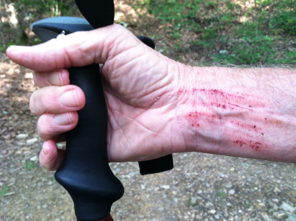
On a day with many wet and slippery roots and rocks, and numerous chances to fall on your butt, N waits until the sun is coming out and things are starting to dry up to have his right pole not grab hold on a dry looking rock and send him sprawling backwards down on his pack. It looks worse than it was. And if you’re keeping score at home, X still leads 11 falls to 2, with 10 more states still to come…
