A theory of relativity
For the 61 days we have been hiking the AT (not counting our rest days in town), we have covered an average of 14.7 miles per day, so today’s total made this an above average day. But compared to yesterday’s almost 20 miles, today we were “only” going to do 15. That made it feel like the day was going to be no big deal, and that early on there was no need to press.
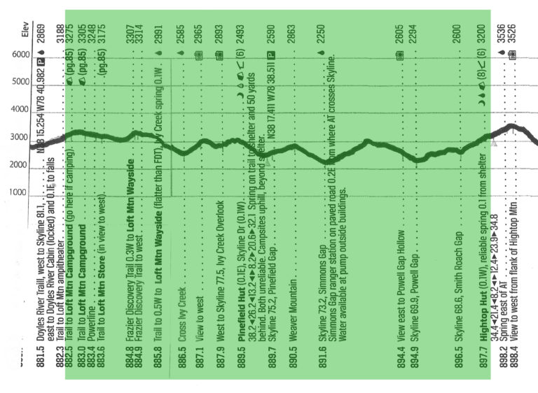
Also, there was the matter of the “Hiker Special” breakfast with blueberry pancakes available at the Loft Mountain Wayside, which didn’t open until nine on weekdays (a wayside being Shenandoah’s name for a short order grill). So, at 8:00 a.m. we are just starting to circle the campground on the AT to insure we will pass every single white blaze marking the trail, before making the steep little 3/10 mile detour down to the restaurant. The meal is pricey by home standards, but exactly what we were craving. And the pancakes were loaded with blueberries.
Our steep little climb back up the hill to the AT was not as bad as we thought it might be, but we were further slowed by the pleasant distraction of stopping to talk to day hikers. It was 11:00 a.m. and we had covered hardly any ground at all! So much for our “easy” day.
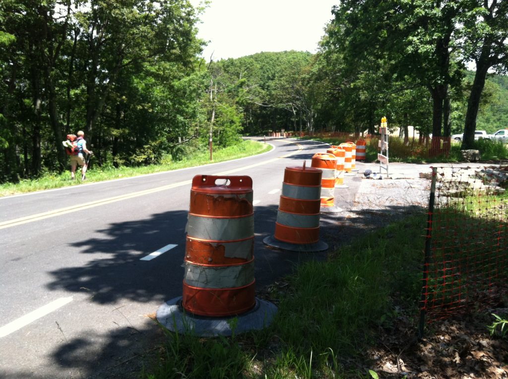
Yellow Blazing is a derogatory term used to describe hikers who skip sections of the AT and take the easier path of walking the paralleling roads. However, at Ivy Creek Overlook we are confronted by an official Park Service sign saying the trail had temporarily been rerouted around a construction zone at a vehicle pull-off/ overlook. So we can now add 150 yards of yellow blazing to our list of AT experiences, but believe this detour did not cause us to miss any of the afore mentioned blazes…
We stop in at Pinefield Shelter for a quick lunch break, where we learn Simple C (also there, with Ranger IPA [just “John” the last time we’d seen him] and Pace Car) was bitten by a dog accompanying a slightly strange section hiker we had also passed. One animal that didn’t belong on the trail, and we bet this was not the first time this had happened.
After one more climb (of many today!), we stop for the night at a nice tent site at the Hightop Hut (“hut” being Shenandoah’s term for “shelter”). Good water source, good company, early bed. Who could ask for more?
