The best Irene detour yet!
Two things today were in short supply: people and level ground. We saw a total of only eight souls all day – three Northbounders (including the In-Law’s Spiceman & Rhino, who left the lodge about the same time we did, and are here with us tonight), five folks taking breaks or staying at the two shelters, and not one single person walking south on the trail! We expected less people after leaving the Long Trail, but not this kind of drop-off.
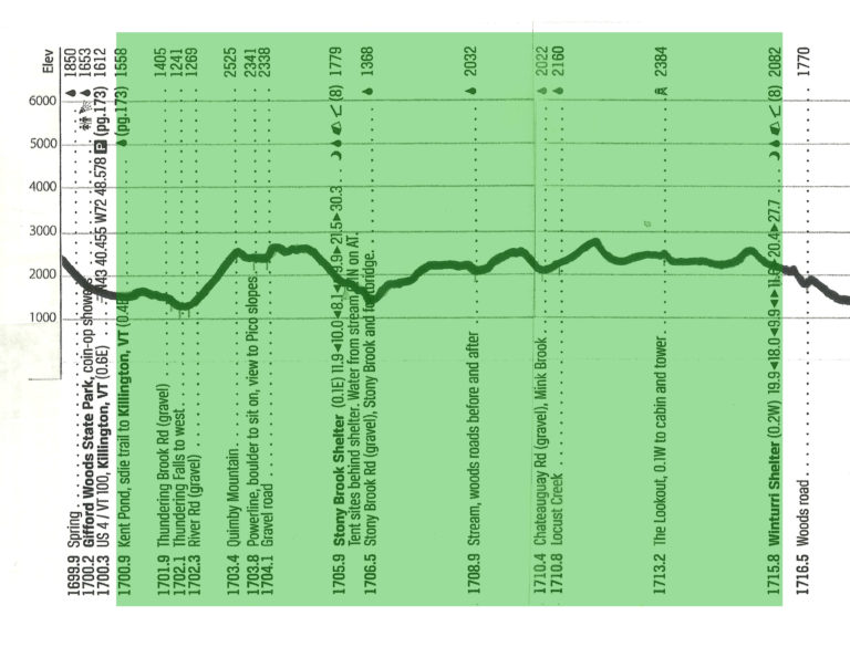
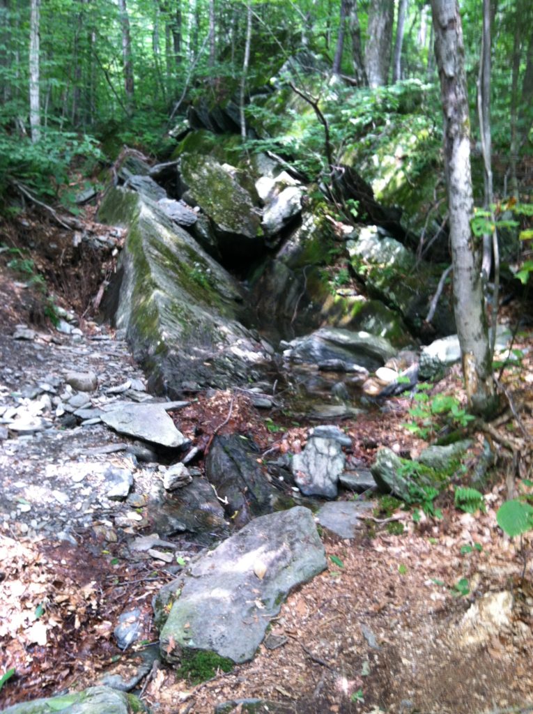
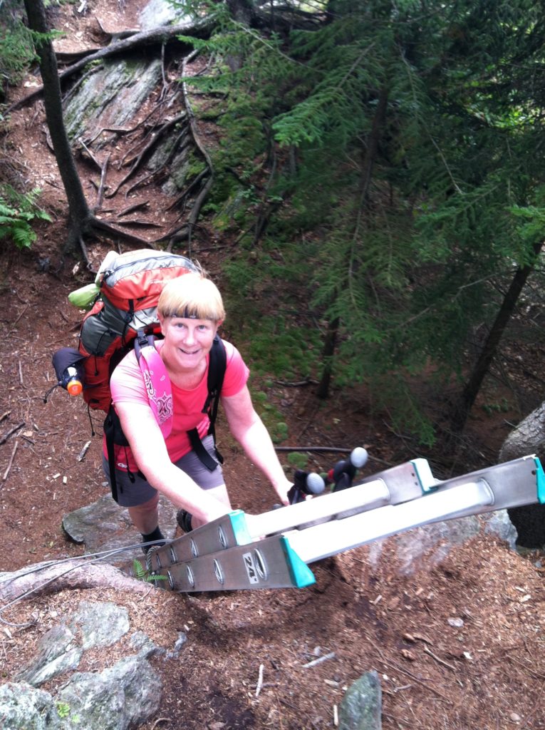
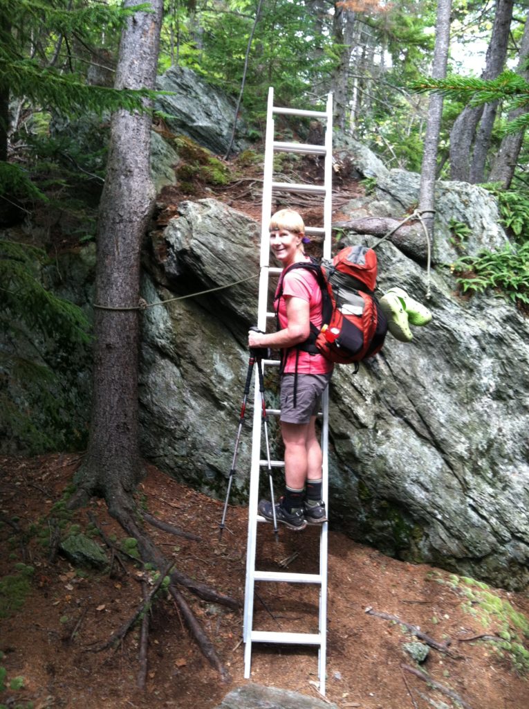
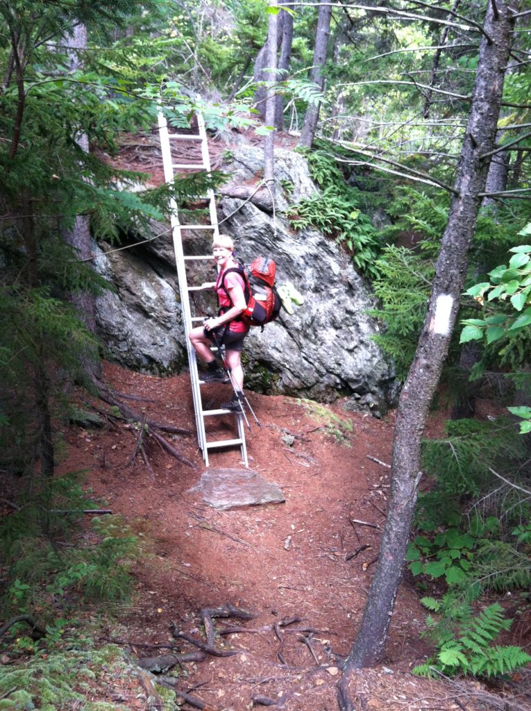
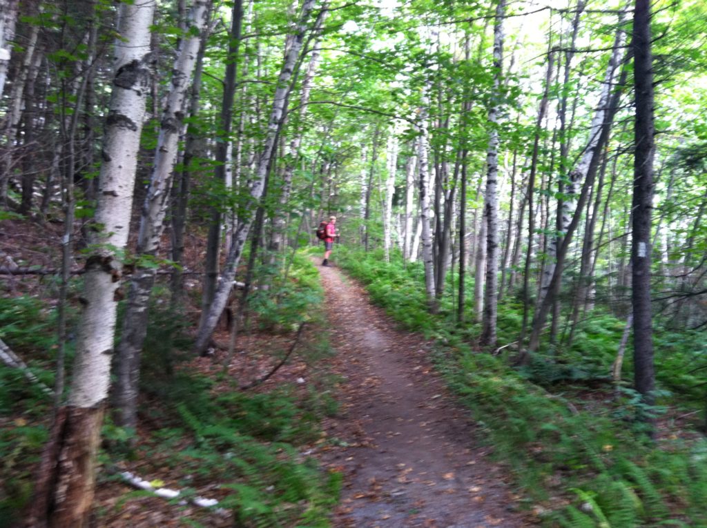
The weather was perfect for hiking. Trail-wise, after dealing with some more Irene detours, the next eleven miles seemed to be continuous up’s and down’s, starting with a 1,300′ climb up Quimby Mountain (in the space of only 1.1 mile!). The only saving grace for all this elevation change was the trail today had lots of dirt and forest duff, and very few rocky sections. (At the only really big rock of the day, someone had thoughtfully installed an extension ladder. Much appreciated!) X enjoyed walking on this gentle trail, but the constant climbing and descending made it impossible to make great time.
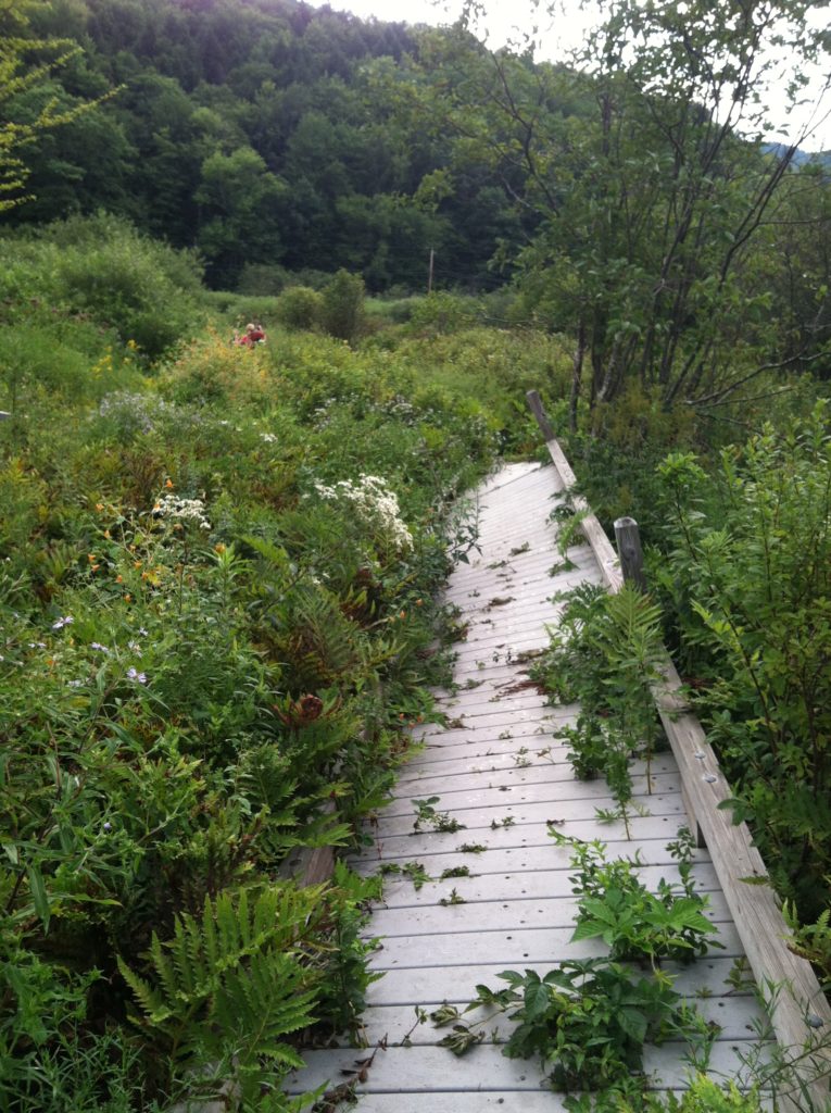
The most exciting part of the day was the missing/ damaged boardwalk just north of Thundering Falls. Last year’s AT has been re-routed here, with all the old AT blazes now re-painted blue. We’d heard it was possible to follow the pre-rerouted AT, and found it to be so if you didn’t mind walking on a boardwalk tilted at a 45° angle. In hindsight, the longer re-routed trail on the road would have been quicker.
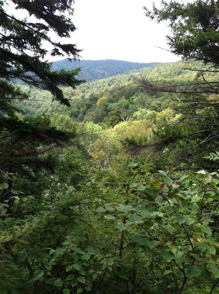
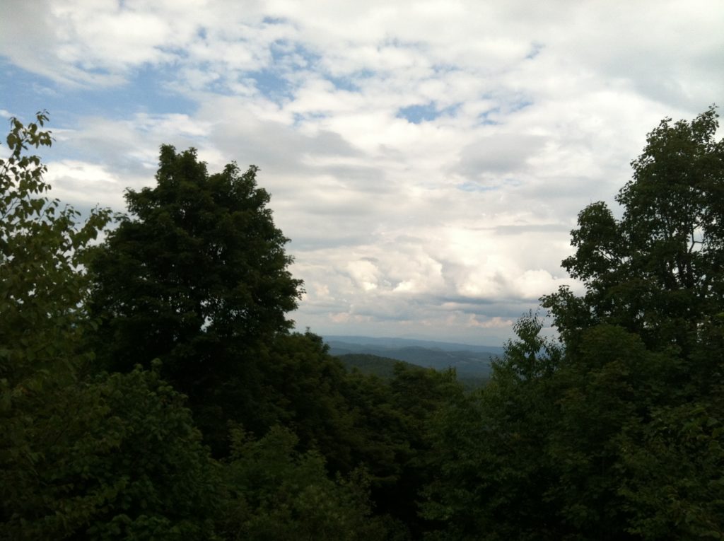
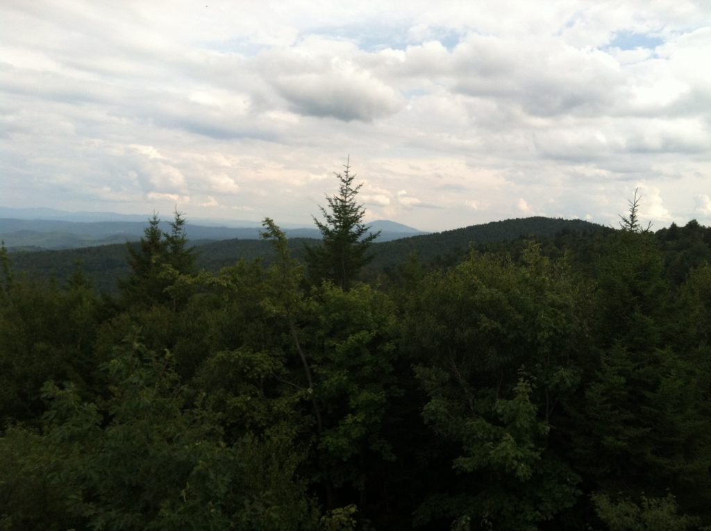
About 12 miles in, we turn off trail 1/10 mile to walk uphill to an abandoned cabin on private land with a rickety ladder up to a lookout platform above the roof. The 360° view is spectacular! Back on the trail, we follow an old road bed for about half a mile, our only really level walking of the day, and at that point much appreciated.
N gets a shoe wet collecting water near the shelter, but the water is cool and clear, and quite refreshing on a day we probably didn’t drink enough. Based on the radar the last time we had cell service, we set up the tent inside the spacious shelter, anticipating the 50/50 rain tonight.
A harder day than we thought after our late start (8:45 after enjoying a great breakfast to the fullest!), and we are down for the evening before 8:00 p.m. A great day of hiking on the AT.
