Mt. Moosilauke (Our official welcome to the White Mountains)
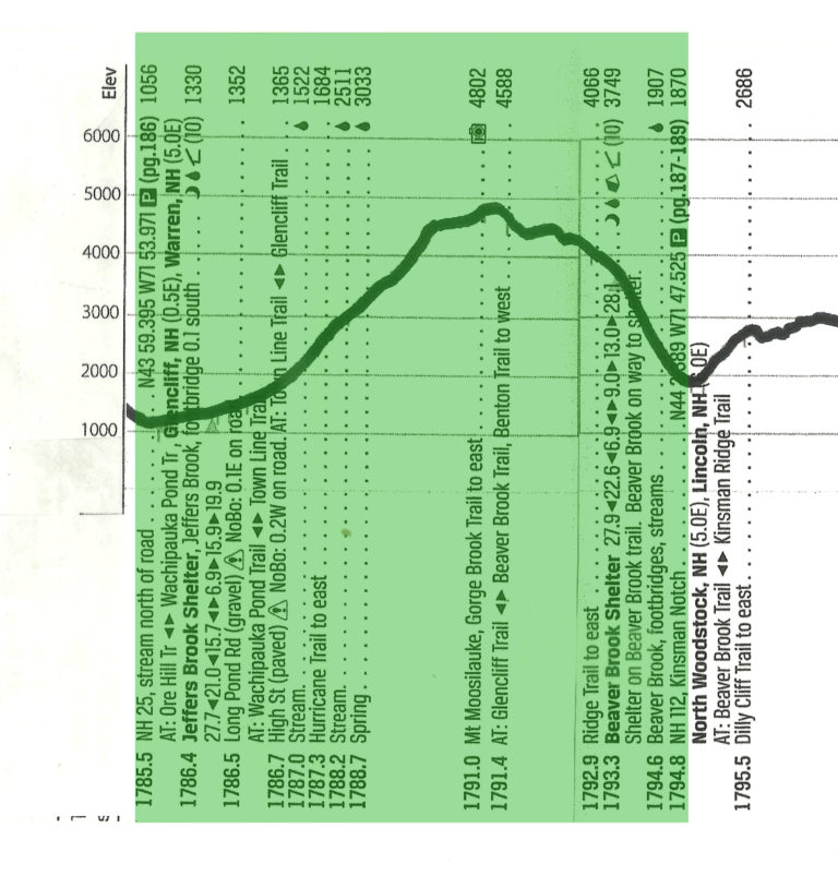
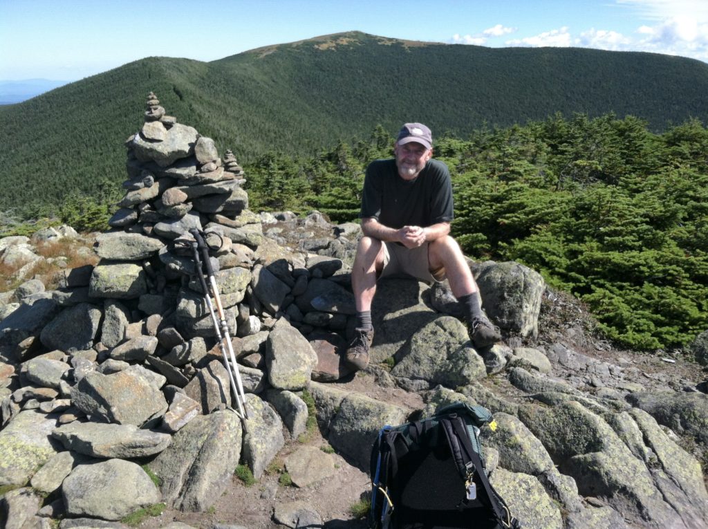
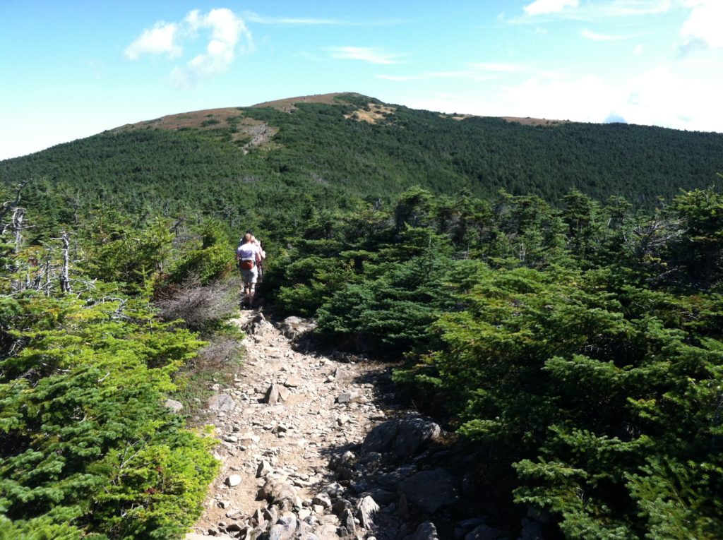
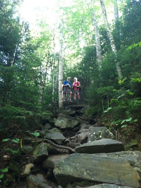
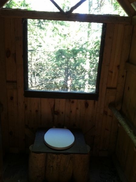
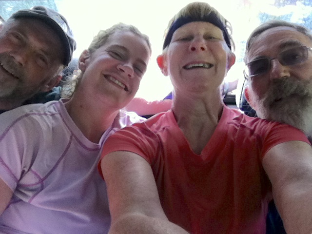
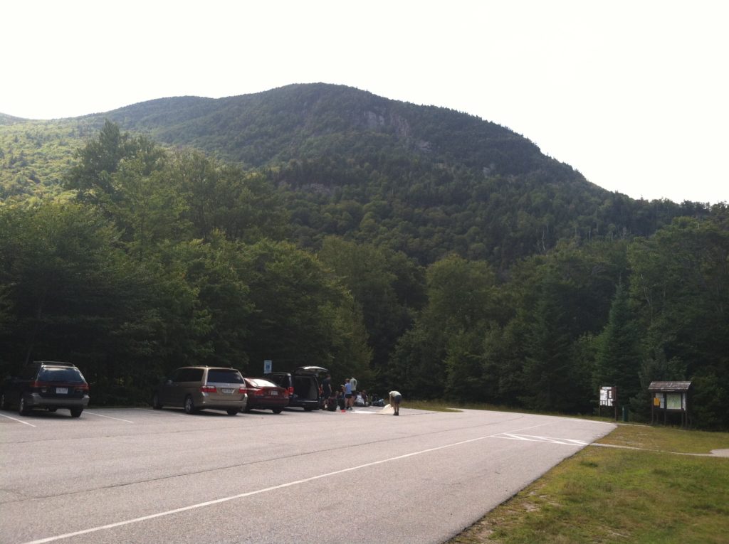
Today was the absolutely perfect day to be on top of a mountain in the Whites: beautiful weather with cool temperatures and great views. Overnight, Deadeye had a losing bout with “Moosilauke’s Revenge,” which kept him in the privy most of the evening, and off the trail today. However, Talloaf was able to step in and take his place, and keep a “gang of five” intact. We left the hostel at seven, and after a little confusion at Jeffers Brook, found ourselves on the 3,500′ climb up Mt. Moosilauke. We were in the woods for several hours, with the path getting rockier as the elevation increased, before taking a side trail to the mountain’s south peak, and our first grand vista.
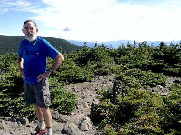
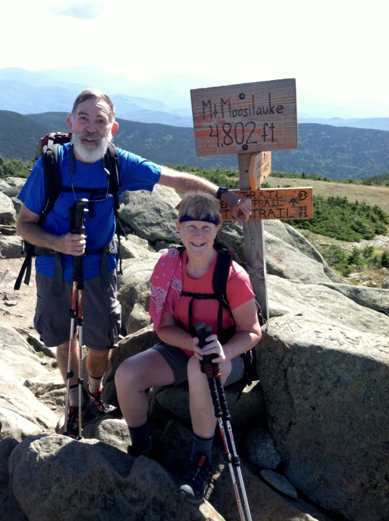
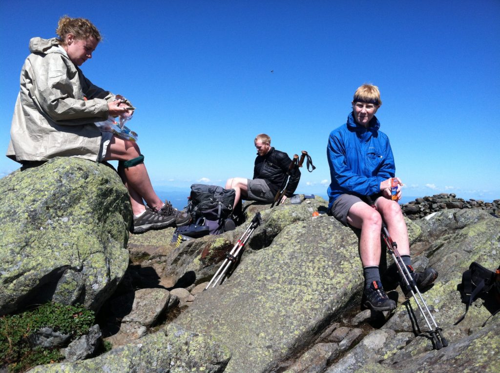
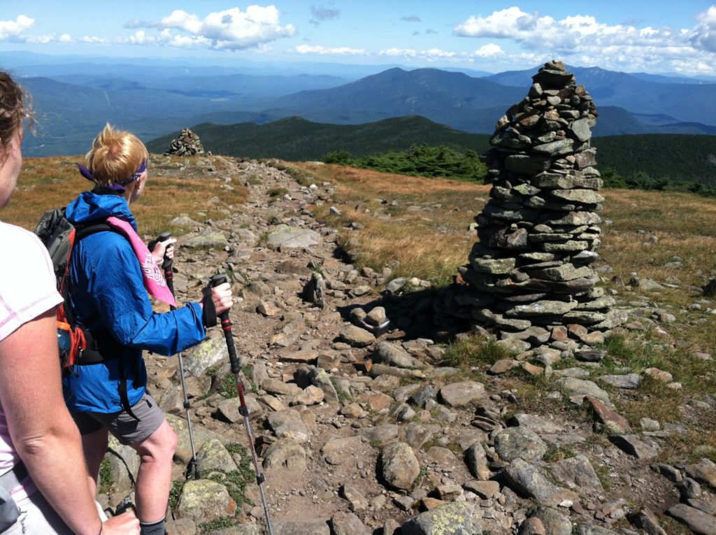
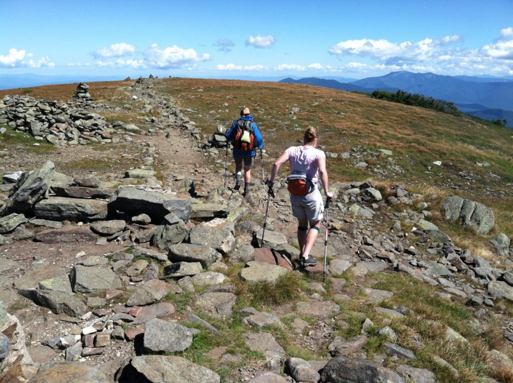
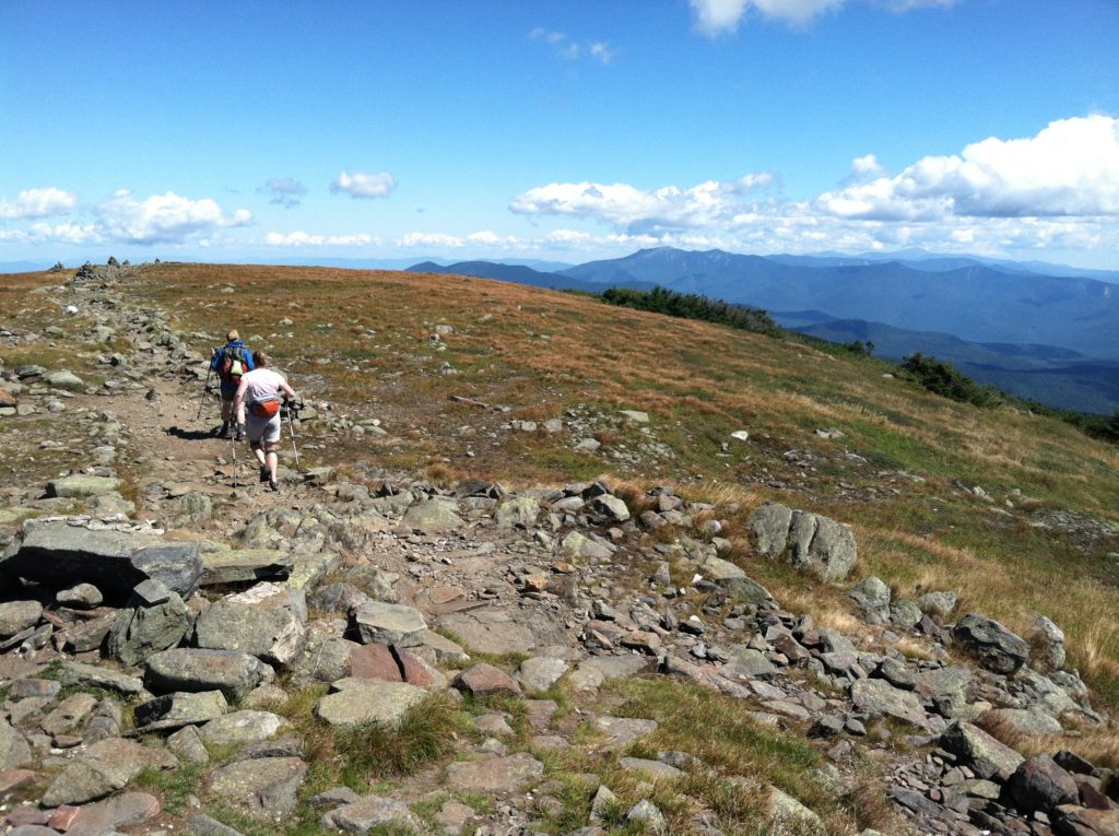
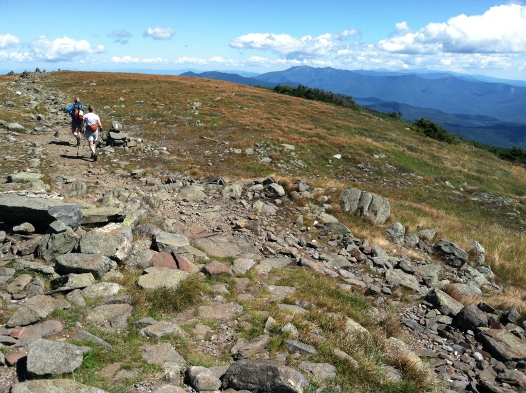
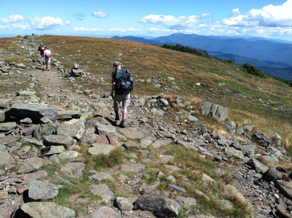
Back on the AT, the trail to the main peak was in large part like a level carriage road. On the summit, we were above the tree line with a 360° view. Looking off to the distant Mt. Washington, we knew we were fortunate to be here on such a clear day.
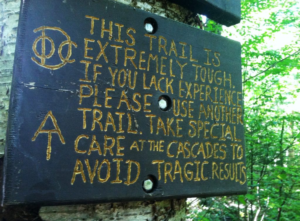
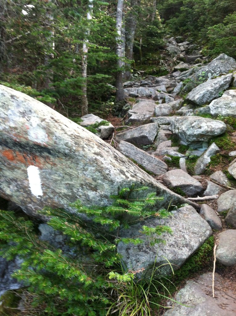
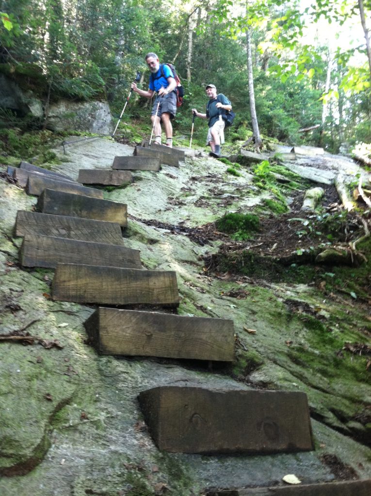
Moosilauke’s northern slope has a well-deserved reputation as the tougher trail descent of the two, coming down a rocky 2,200′ feet in only 1.5 miles. About a half dozen folks from the hostel chose to catch a ride to Kinsman Notch, and hike the AT backwards. As we started meeting them on our way down, they confirmed we were in for a challenge! Our thanks to all the Dartmouth Outing Club volunteers for the wooden steps and rebar hand rails they had installed at critical locations along the way. We were somewhat frustrated by the slow pace, but had as much fun negotiating the descent as any piece of the AT we’ve been on. We anticipate this type of trail being “business as usual” for the next week or so.
Alison met us at the road and brought Kleenex, Castaway, and the Troverts to the Carriage Motel in North Woodstock for the night. We ate well at the nearby Greek restaurant, and are planning an early start tomorrow as we attempt to get over both Kinsman summits and back to North Woodstock before dark. As hard as they are, we are loving the Whites!
