Old Blue and Bemis Mountains
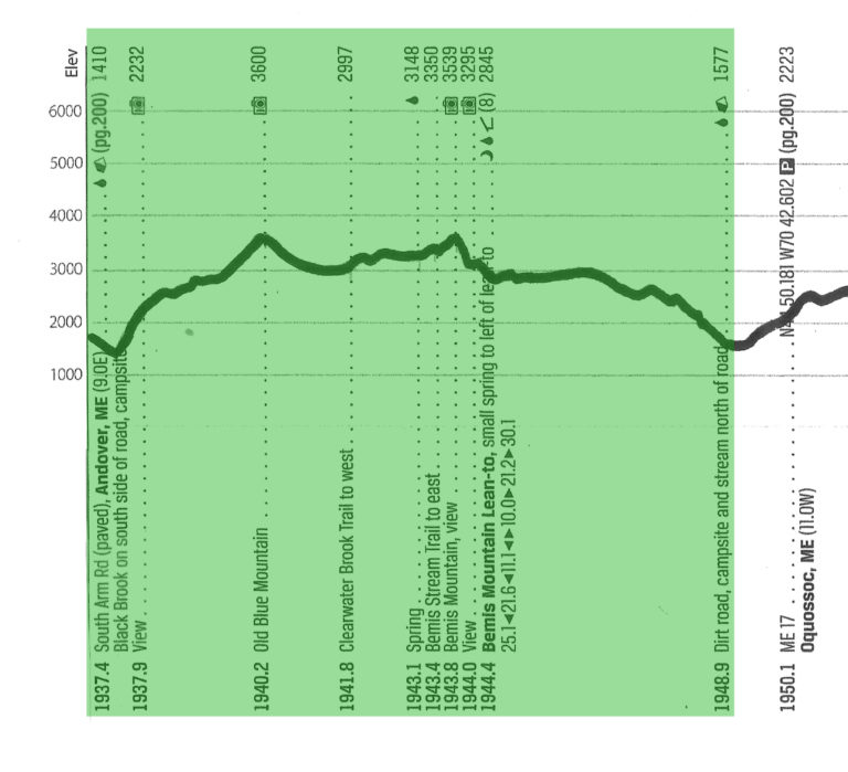
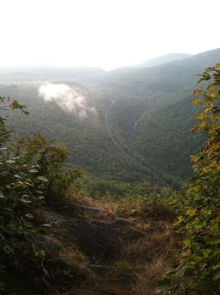
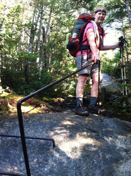
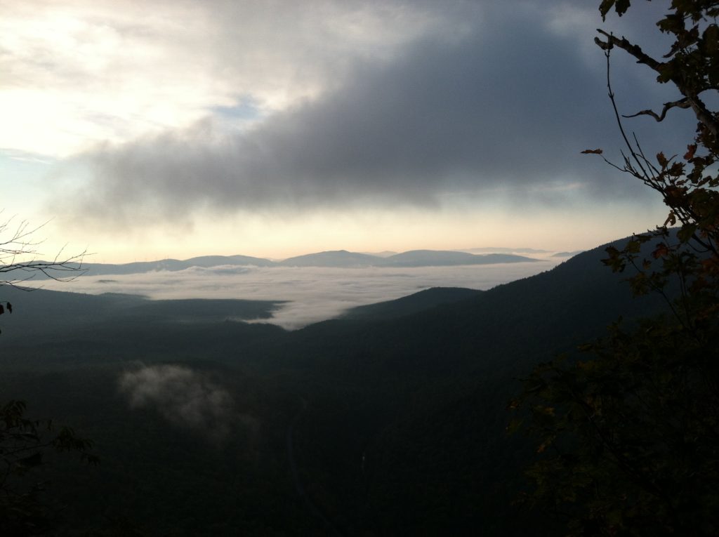
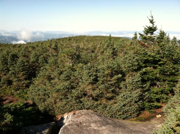
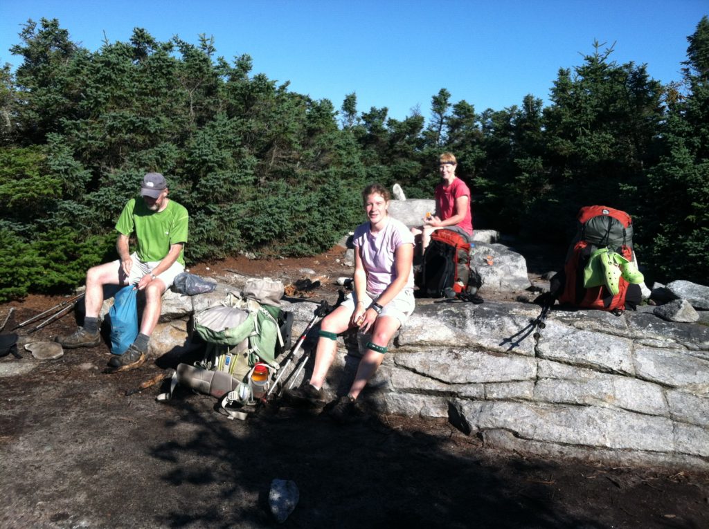
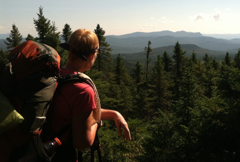
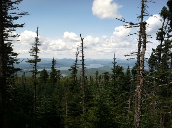
After hiking for several days with just a day’s worth of snacks, we were back to full packs with four days of food. That made the initial steep climb up from South Arm Road even tougher. The trail then gave us a brief respite before getting steep again to the top of Blue Mountain. We took a break among the low-lying evergreens which allowed us partial views of the pockets of fog and wisps of cloud below.
Coming down the north side of Blue Mountain was easier than the ascent, and we congratulated ourselves at the great time we were making. Then we came to a sign announcing we were half way between the last road and the next shelter, and the character of the trail changed dramatically. Lots of ups and downs, with wet rocks. The wet roots were even more dangerous as years of erosion had exposed them as the predominate trail feature. When roots run perpendicular to the trail, they are usually not a problem, but when they run with the trail they can act as wet skids that can cause nasty spills. Everyone but Kleenex had at least one bad fall, and we all had several little ones. This passage of the several peaks of Bemis Mountain will not be remembered fondly…
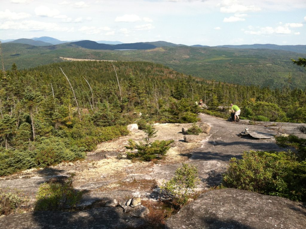
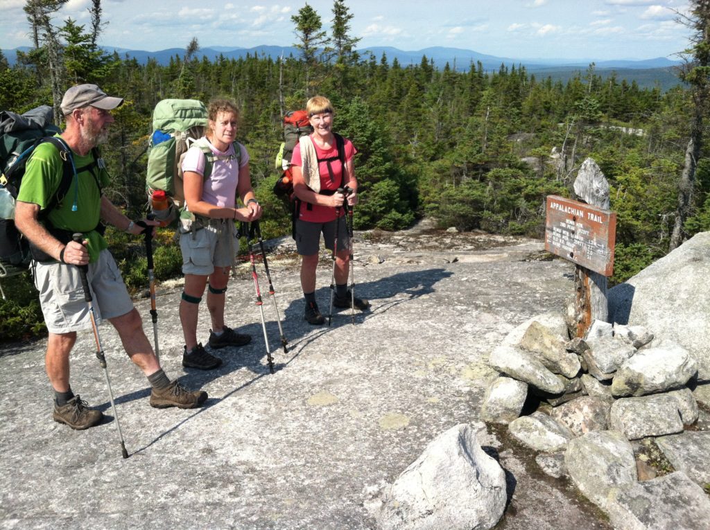
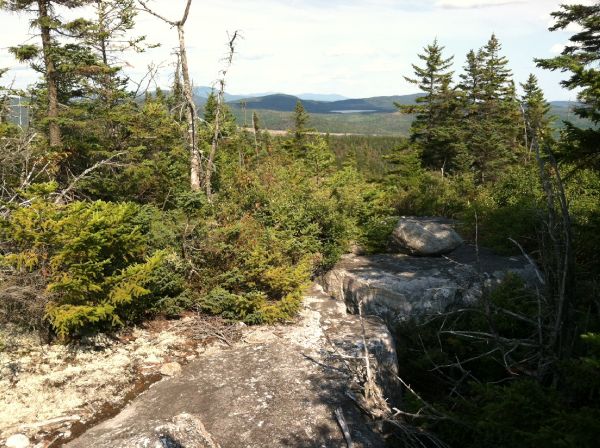
After the shelter, we walked wide rock slabs that gave us views good enough to put on the cover of an NPS Appalachian Trail park folder. We could see the area where we had hoped to camp tonight, but one more treacherous downhill section killed that plan. When we reached a stream with several nice campsites, we decided to stop to lick our wounds before trying again tomorrow. You have to take what the trail gives you, and today the AT was handing out great weather, great scenery, and low mileage.
While cooking our dinner, Johnny Walker Red, Nooga and Blue Sky showed up also looking for a campsite. We thought Johnny Walker Red and Nooga were way ahead of us, but this part of Maine has made it tempting to take a day or two off to recuperate. We’re thankful for tonight’s early bedtime and with the sound of the nearby stream expect to sleep really well…
