Moxie Bald Mountain and the Piscataquis River
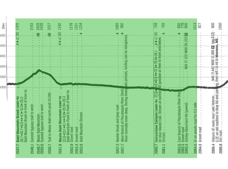
Our water bottle was not frozen this morning, but this dual purpose thermometer was about the only confirmation we had it wasn’t really, really cold. We immediately began a 1,300′ climb up Moxie Bald Mountain, which at first was too gradual to warm us up much. With the early sunshine on the opposite side of the mountain and us in the shade, all members of the Gang of Four were glad to be wearing extra layers and gloves.
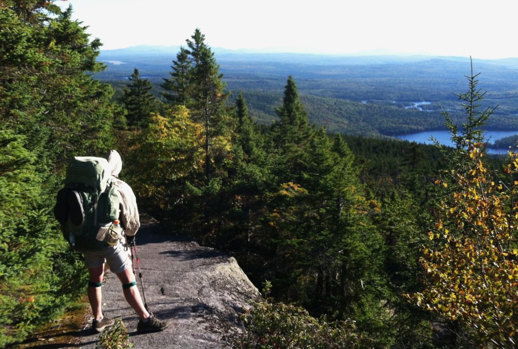
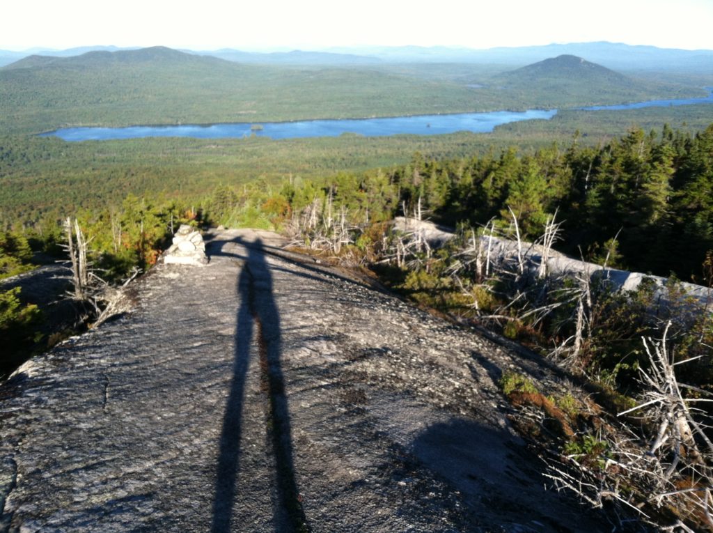
A byproduct of the cold temperature (or vice versa) was that the sky was really clear, and as the trail got steeper in the last 500′ of the climb, we could look back on great scenery below. When we broke out on exposed rock, the 360° view was spectacular. We argued which distant peak was flat enough to be Katahdin, or if we could see it at all, but as great as the visibility was today, the wind chill from the steady strong breeze meant this was not the morning to linger a long time on top. We were happy when the trail took us back below tree line, and no one complained when we didn’t take the side trail back up to Moxie’s north peak.
We leap frogged with GipC Girl and Spiceman for much of the morning, and on their advice took our first break at the Bald Mountain Pond rather than the nearby shelter. Out of the wind, we enjoyed the full sun in the beautiful cloudless blue sky. Our only climb of the day had gone quite quickly, and the trail for the next ten miles resembled a flat line. Not to say it was all smooth and level, but we realized our original goal of a 13-mile day was not ambitious enough. (We have come to the realization that “flat line” in Maine is “tough trail” in Georgia, but by now we’re pros and little fazes us: we take it all in stride…)
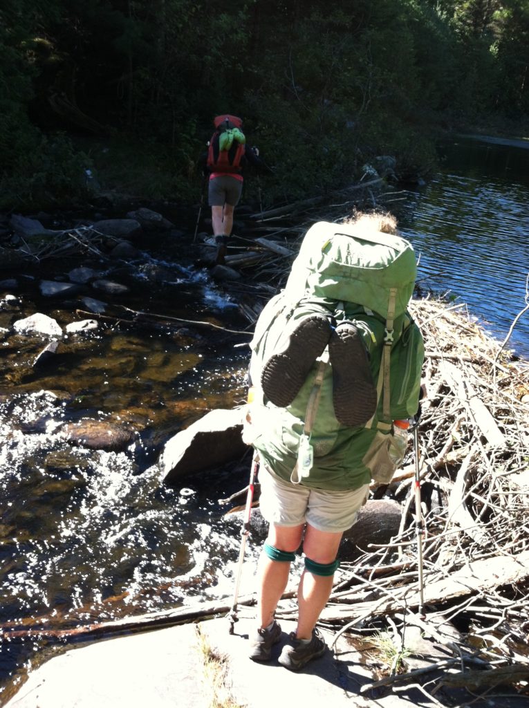
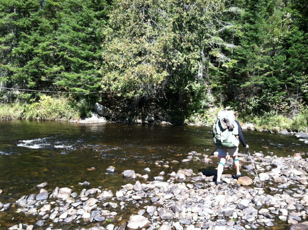
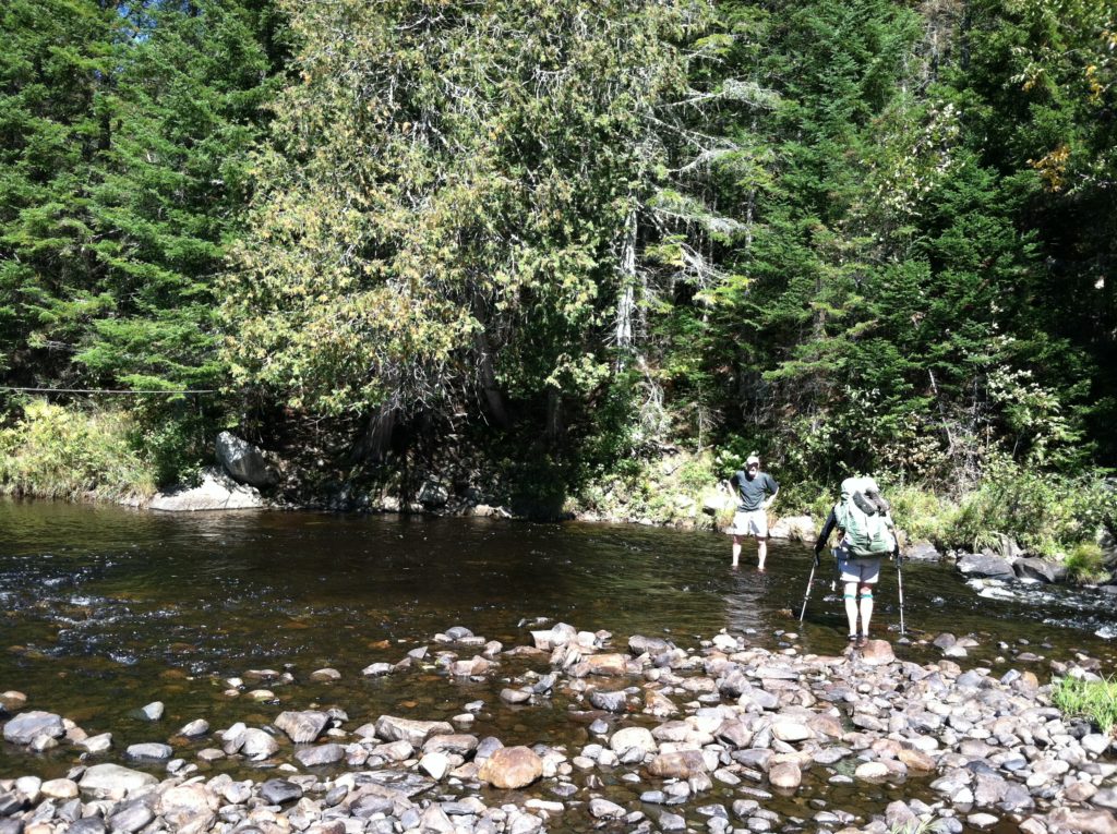
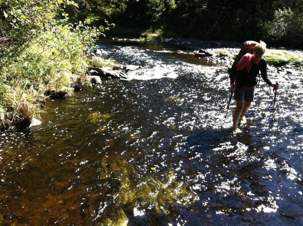
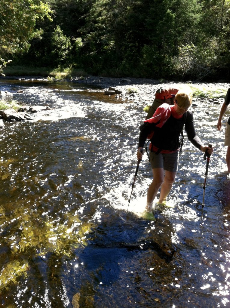
There was much discussion over the “Marble Brook and jeep road” which the usually reliable AWOL guide apparently had miss-located by a mile or two, but by the time we arrived at the West Branch of the Piscataquis River, we had once again figured out exactly where we were. This stream requires fording, is usually knee deep, and can be dangerous in high water. This was not the case today. We stopped for lunch before crossing, and spread out our tents to dry last night’s condensation. This gave us the chance to watch several other NOBO’s cross, and when we walked over, we had only ankle deep water.
Afterwards, the AT followed the Piscataquis drainage for about three miles before we again donned our Crocs to wade back across. There we found GipC Girl, Spiceman, Log & Yo-Yo and two other section hikers from last night’s shelter finishing sodas (a nice selection!) that had been left as trail magic. We did the same.
In the small world department, we had been alerted to the trail magic ahead (and the fact that it thoughtfully included a printout of the ten-day weather forecast [low tonight – 42!]) by a day hiker who turned out to be Bain Pollard, the man who had hosted the Charons for several days back around Andover. Small world indeed!
A mile and a half past the river, the AT follows a woods road for about a half mile. Here along side we found a great open campsite in a beautiful, young-adult spruce/fir tree farm where we have stopped for the night, leaving us a short walk to Monson and a “Nero” in the morning. In the final unexpected treat of the day, this site has four bars, 3G. We may be out of touch in a few days, but for tonight we have cell phone coverage…
