Nepal 2009
Dingboche (14,470')


Friday, March 20th
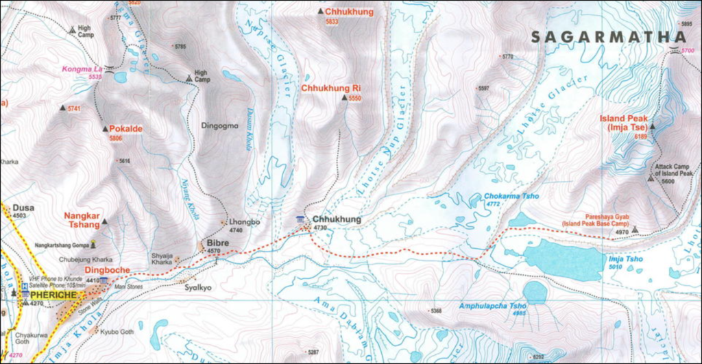
At Dingboche we took our second acclimatizing day. As back at Namche Bazaar, we had the opportunity to day-hike to a higher elevation before returning to sleep at the same place for a second night. Cynthia is content to spend the day resting, reading, and writing, but Woody was all about heading off with Mani and two of our group’s young machos. The plan was to explore the Imja Valley at least as far as Chhukhung, maybe a little farther. At the very least, there would be new views of Ama Dablam from its northeast side…
This hike reinforced why he will never be successful dealing with the concept of a “bucket list” (that is, a list of things you want to do before you “kick the bucket”): it seems he would be forever adding new items faster than he could scratch off the old ones. Today’s addition to the list was the summit of Island Peak, which when first viewed from Dingboche, appears as an island in a sea of ice. At 6189 meters, this mountain, now more properly called Imja Tse, is right on the dividing line between the trekking peaks (just keep walking and you’ll reach the top) and the climbing peaks (more technical skills required). Imja Tse was first climbed in 1953 by a British team as a training exercise in preparation for Mount Everest (Tenzing Norgay was a member of this first ascent team). Given its “not too difficult” rating (alpine PD+, whatever the helthat means!), Imja Tse is one of the most popular trekking peaks, especially when supported by a Nepalese climbing guide. With the enthusiasm of a kid half his age, the energetic Wood’s account of his day’s activities follows:
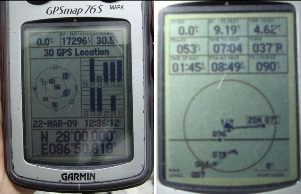
”After my disappointment early in the trip of not being able to visit southern Nepal and the exact location of 27° 00’ 00” N. 85° 00’ 00” E., this was the first morning I had pulled out my G.P.S. I found we were in the neighborhood and trending towards 28N 87E. Although it was just over the highest mountain in the world and therefore not a reasonable destination for the day, I decided to note how close we would come to reaching it.
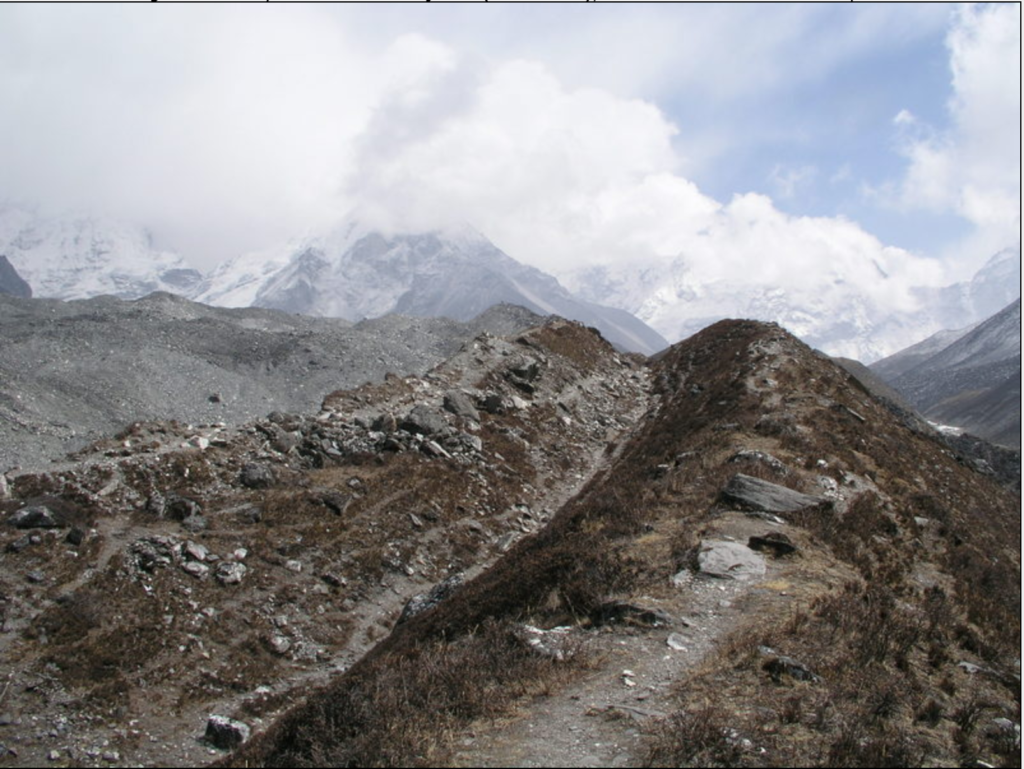
”Maybe it was the steady wind blowing down the valley, and maybe it was the several ice choked streams we crossed on tiny foot bridges, but this seemed by far our coldest day yet. I do know my camera was starting to act up, and I thought perhaps its batteries were not taking kindly to exposure to the lower temperatures. There was some early talk of pushing to the 5,000 meter mark, but 4,800 is probably about as high as we got. Walking steadily uphill on a path that would eventually reach the Island Peak base camp, the possibility of a future climb dominated our morning conversation. Was it too early to start thinking about another trip to Nepal?
”Throughout the morning, views of the peak came and went among the swirling clouds. With its summit towering above us, we were struck by the irony that while if in Africa, Island Peak would be that continent’s highest mountain, here in the Himalaya, Imja Tse was dwarfed by its many taller neighbors.
”As the wind increased and visibility of the surrounding peaks disappeared, we decided the Island Peak base camp, or even topping 5,000 meters, would have to wait for another day. Exactly ten miles from 28N 87E, we stopped for a water break on the lateral moraine of the Lhotse Glacier, and then headed back to the small village of Chhukhung, where we stopped for tea. By the time we got back to our camp at Dingboche, this had become the high mileage day of the trip, and we were all satisfied at our acclimatizing efforts.”