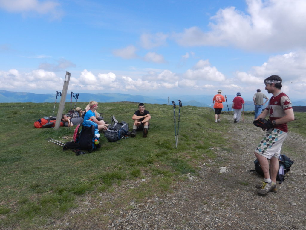
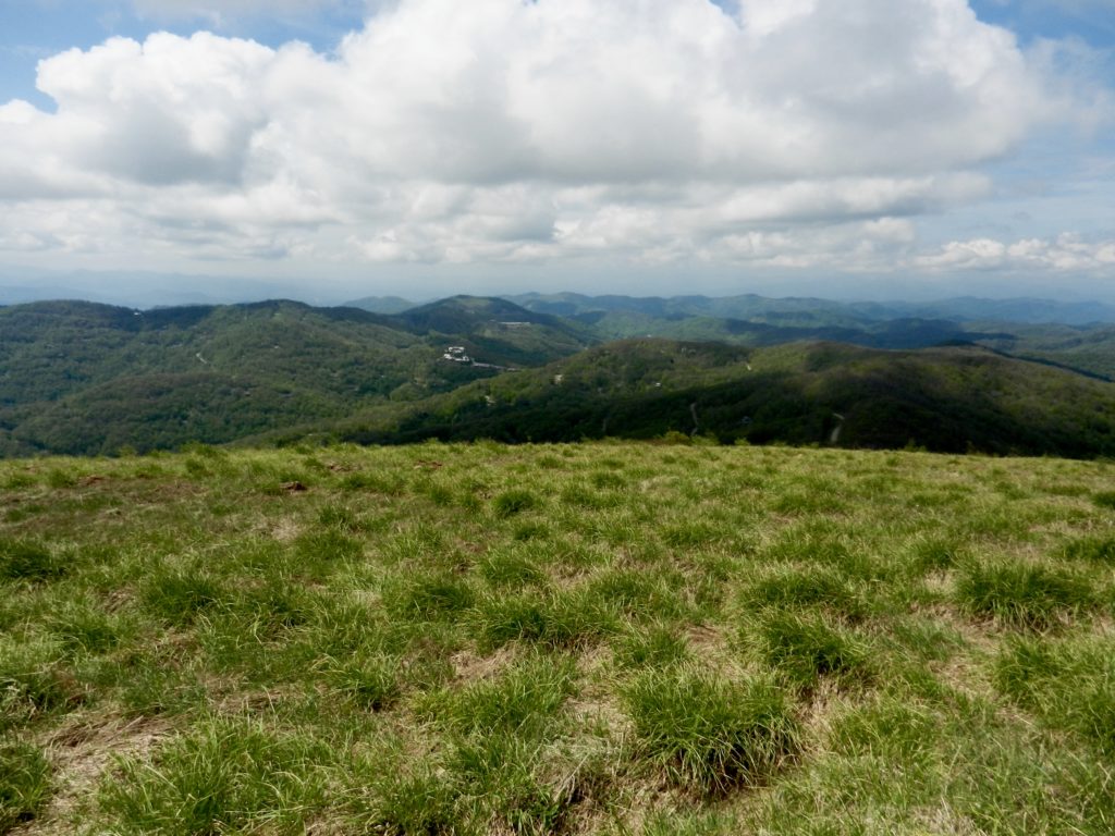
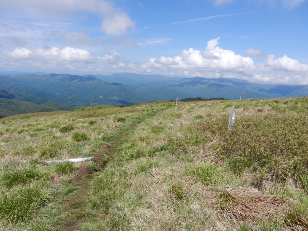
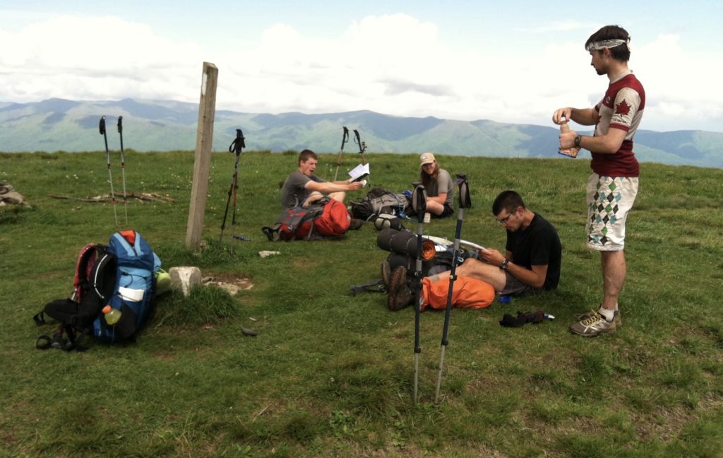
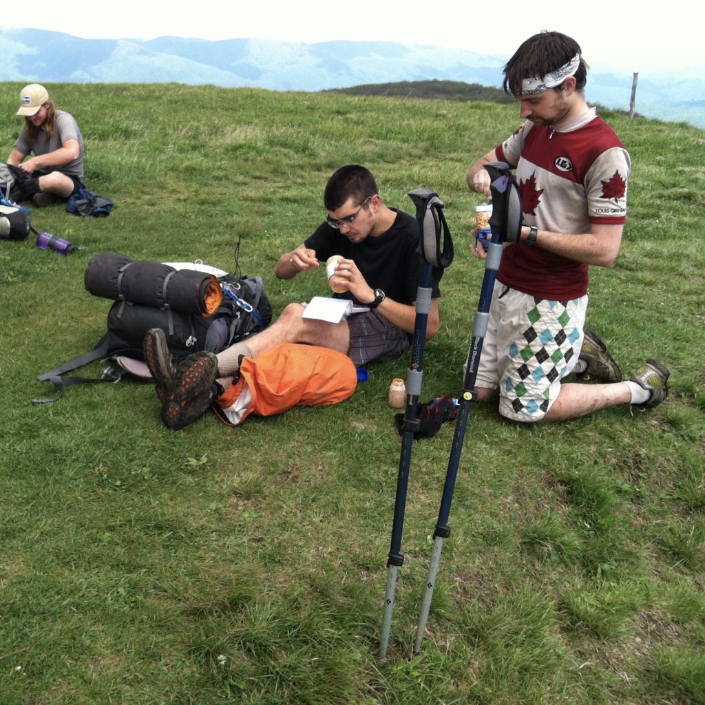
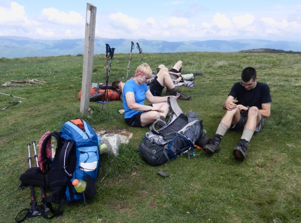
Lunch on the Big Bald (or how we took another perfect weather, 360° panorama, 5,516' elevation break)
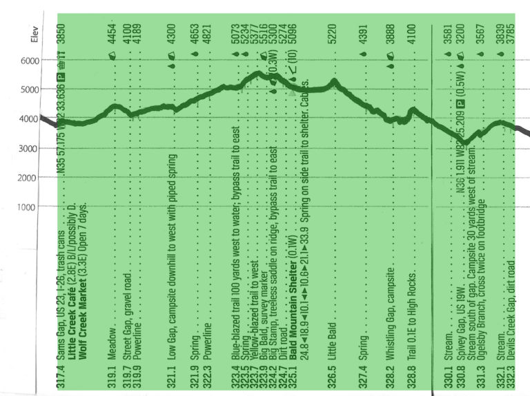
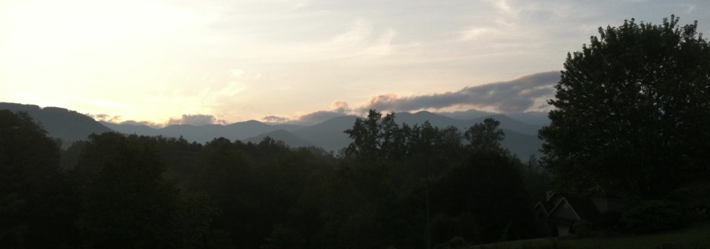
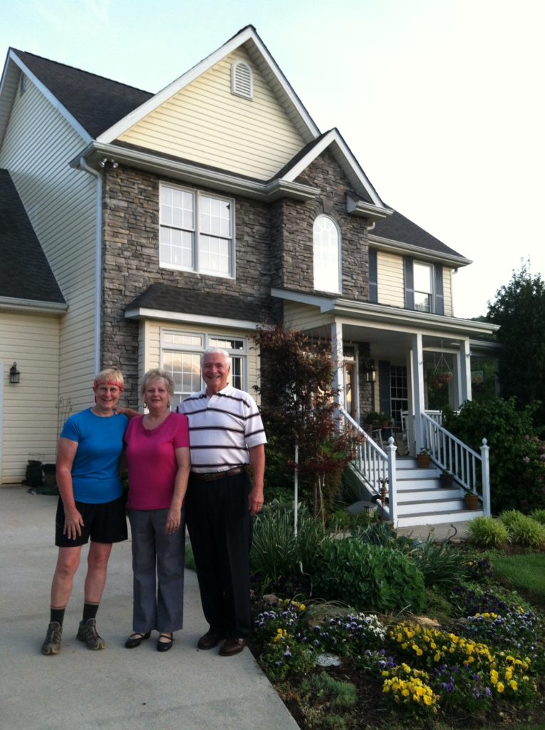
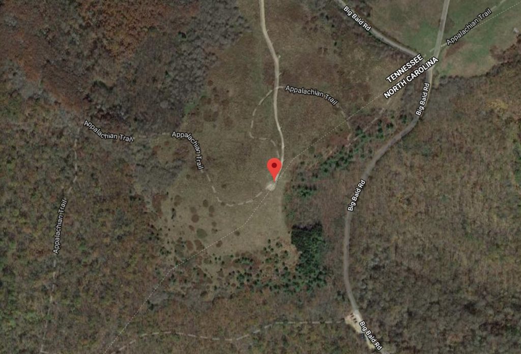
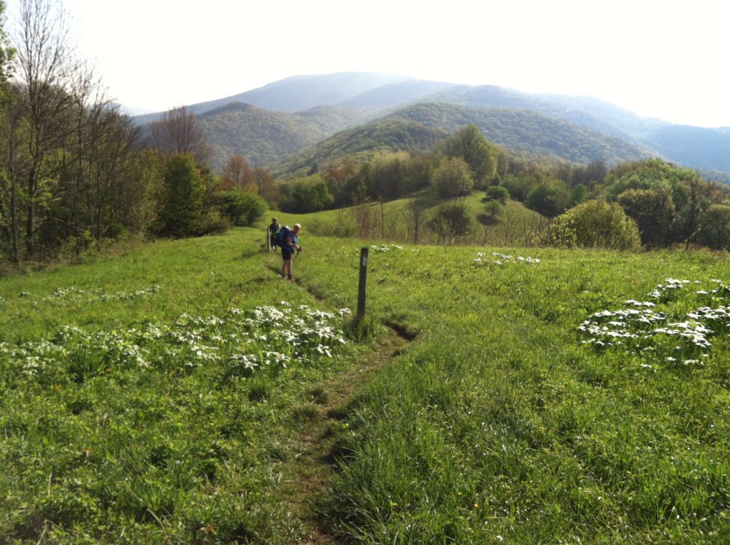
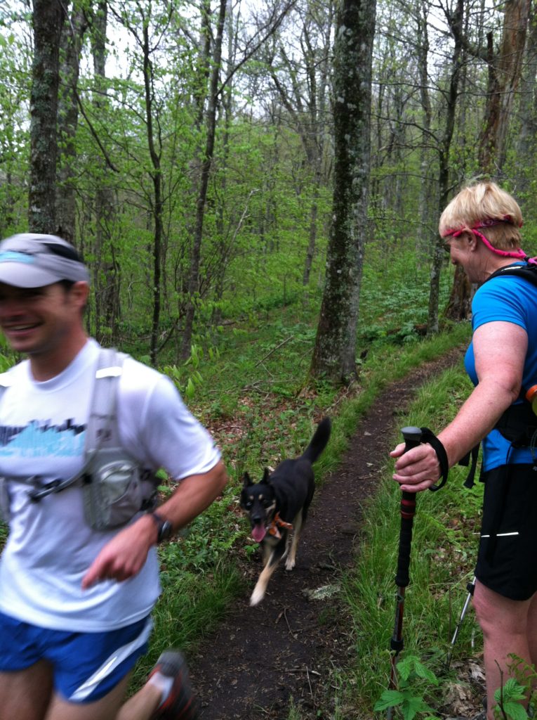
The Browns deposited us back on the trail a little before 8:00 a.m., and we started our day with a gradual climb up to a large meadow. About six miles in, we had a more strenuous climb up to Big Bald, but were rewarded with a view that equaled that of the more famous Max Patch. We could see back to I-26 and down on the Wolf Laurel ski resort. Shortly before the top, we had been passed by four members of a mostly Canadian group we’ve been seeing since the Smokies. They had stopped for lunch to enjoy the view, and this was our first chance to talk. They were talking about pushing all the way to Erwin, Tennessee, today, so this might be our last time to see them, as that is more pace than we can handle. A few locals were also walking up on the Bald and had many questions folks usually ask thru hikers.
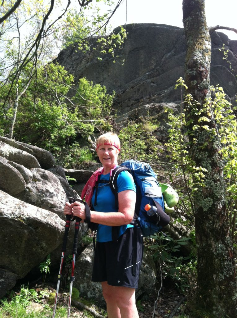
Just before Whistling Gap, the previous short night caught up with us, and (in a first) we pulled out our pieces of Tyvek for a 15-minute power nap. After taking on water, which on a hot afternoon we were consuming at a swift rate, we had a tough climb up High Rocks. We could hear a thunderstorm before we could see it as we started down the opposite side. Fortunately, we got only its cooling benefits and not any rain.
After crossing the road at Spivey Gap (US 19W) we ended our day with another tough climb up the Ogelsby Branch ravine. (Are you noticing a pattern of tough climbs after places with the word “gap” in their name?) However, we found a beautiful little campsite just off the trail as the terrain started to flatten out, and we were calling it a day at 5:15. We were in the tent by 7:00 p.m., after a very successful and rewarding day. Ah, hiker midnight and serious slumber…
