Odds and Ends from a half rest day (Or how the hordes of hikers once again descended on the AT)
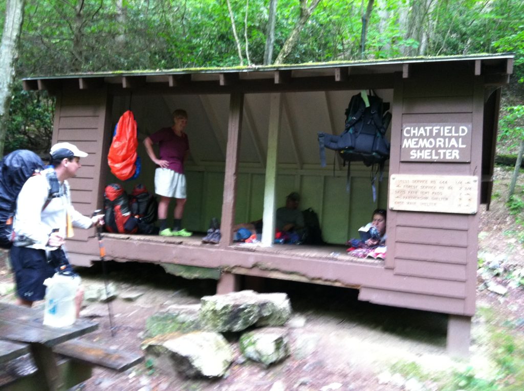
After a very pleasant night in Marion, we had only laundry and food resupply to take care of this morning. Not wanting to take a zero hiking day, we hurried to finish our chores and arranged for the local transit folks to give is a lift back to the trail at 11:00 a.m. At only fifty cents per person, this has got to be the best deal we’ve seen on the trail, and a real boon to hikers. We decided to only hike seven miles to the first shelter. As we got close, we found ourselves racing an approaching thunderstorm (which won, beating us by about 15 minutes). By 6:00 p.m. we discovered every other hiker in a 20-mile radius also had the same plan, and this small six person shelter is quite crowded tonight, with one over capacity inside and several tents scattered ’round outside. (And while the eXtrovert is in her element sitting at the campfire circle, the iNtrovert is in his, nestled down in his sleeping bag waiting for hiker midnight mode to fully kick in…)
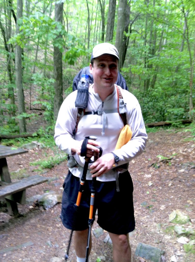
N’s weekly “oh my aching back” update: Seven days after N’s sore back was so bad as to make him consider abandoning the hike, it is doing much better. In addition to the hourly stretching regimen while we’re hiking during the day, he has worked to change his hiking posture. It seems he had been aggressively attacking hills with his trekking poles by really leaning into the hill. The result was putting way too much additional stress on almost forgotten old back injuries. Working to maintain a vertical position has helped correct this problem. Also, N got a note from a friend back home saying “Not trying to insult your intelligence but… get 95% of your pack weight on your hips.” N did some careful calculations and determined he had only been carrying 93.857% of his pack weight on his hips. With a 2% increase, his back pain (actually lack thereof) has greatly improved.
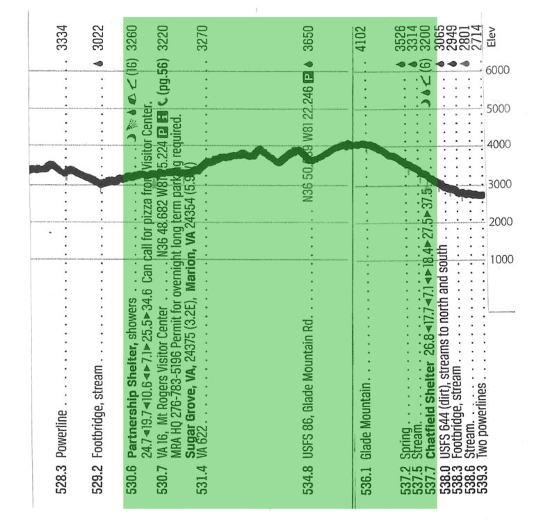
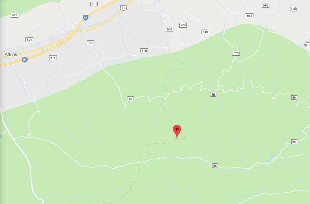
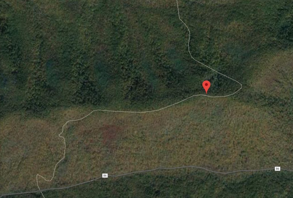
The trail profile was relatively easy today, except for one stretch between VA Highway 622 and USFS 86. Apparently when this part of the trail was constructed, the switchback designer was off on vacation. As a result, this steep section goes straight up the hill, and will make you think you have gone soft after only one night in town. We guess we’ll find out when we try to crank up our mileage again tomorrow.
[After some off and on precepitation, we had a steady rain for most of the night, so to wake up to a dry tent already packed away and ready for the day will be a great start for tomorrow!]
From: VA 16, Mt. Rogers Visitor Center
To: Chatfield Shelter (VA)
Today's Miles: 7.0
Total Miles to Date: 537.7
[Our daily elevation profile comes from David "Awol" Miller's 2012 "The A.T. Guide," which we found to be invaluable. Get your updated copy at www.theATguide.com]
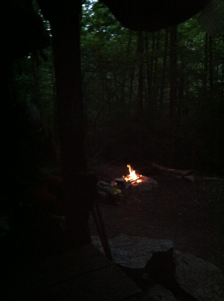
From today’s “Trail names, derivation thereof” Department: If you look very closely at the left side of this after-dark shelter photo, you will see one hiker’s very large headlight. The device was so distinctive it had won for its owner the trail name “Narwhal,” because of her perceived resemblance to the medium-sized toothed whale (Monodon monoceros) possessing a large “tusk” from a protruding canine tooth. In reality a narwhal is rarely seen on the AT, as It lives year-round in the Arctic waters around Greenland, Canada, and Russia. (The narwhal was described by Carl Linnaeus in his publication Systema Naturae in 1758.)
