Monday, May 28, 2012

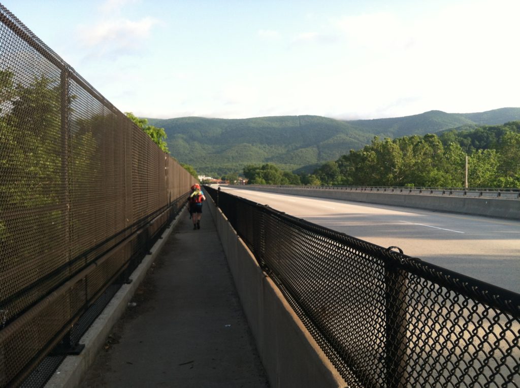
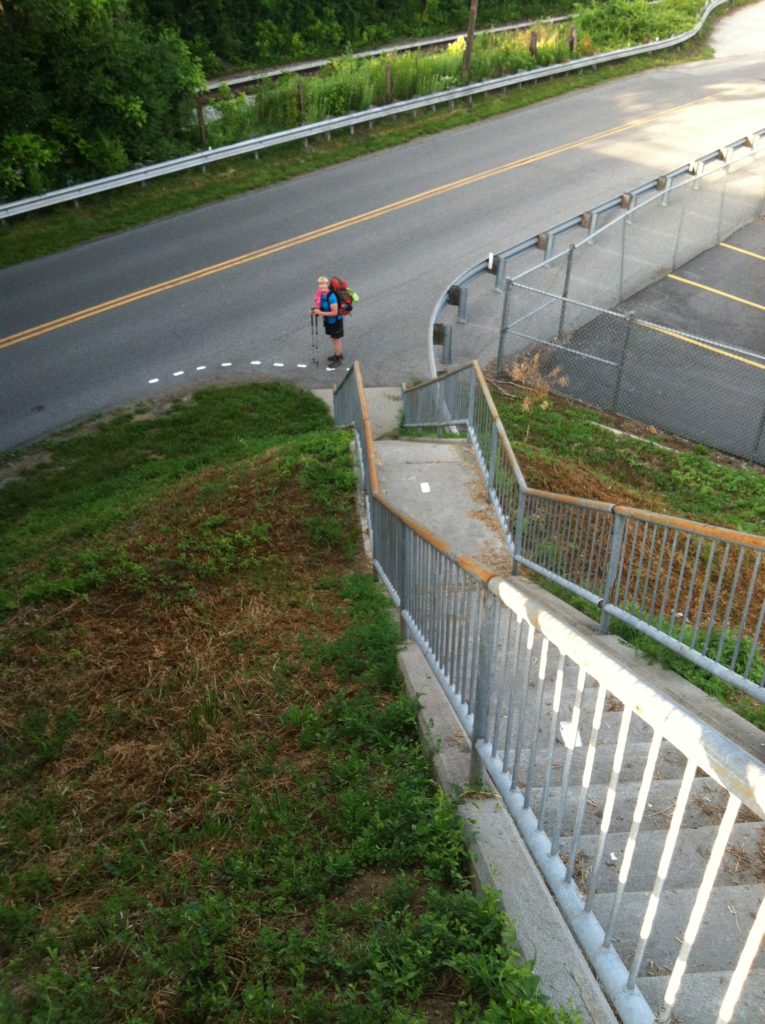
Farewell, Pearisburg; we hardly knew you... After crossing US 460 on the Senator Shumate Bridge, the AT circles under the north end of the bridge.

Memorial Day 2012

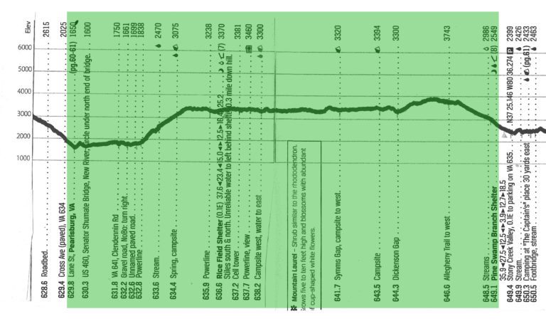
A big climb out of Pearisburg, a shortage of water sources, some very high sunny afternoon temperatures, a very rocky path after we got past Rice Field, and just a lot of miles made for a very tough holiday hike. And that’s all we want to say about it right now…

[Well, actually, this was about the first time we went all day without having a signal strong enough to send an update for posting to our Base Camp Manager. On the edge of West Virginia, there just seemed to be no cell reception to the west of us…] 
 

Day 48, Monday, May 28, 2012

From: Lane Street, Pearisburg, VA

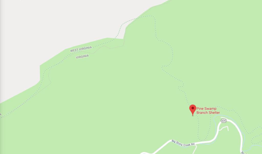
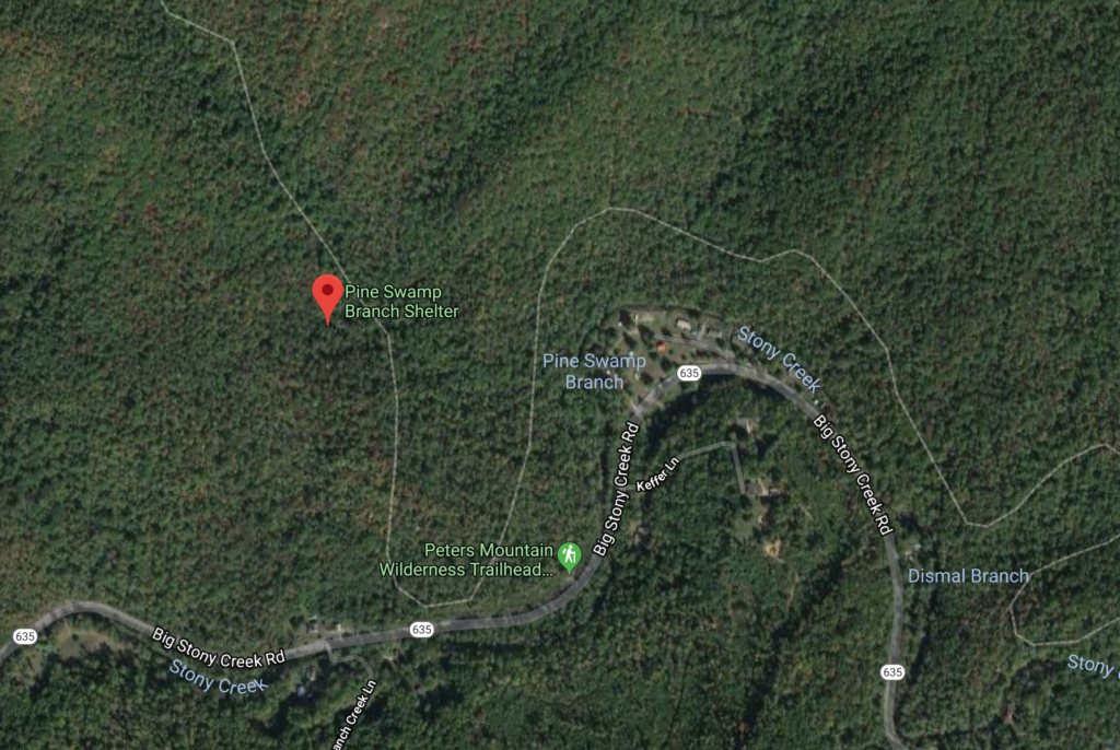
To: Pine Swamp Branch Shelter (VA)

Today's Miles: 19.3

Total Miles to Date: 649.1

[Our daily elevation profile comes from David "Awol" Miller's 2012 "The A.T. Guide," which we found to be invaluable. Get your updated copy at www.theATguide.com]
X crosses the New River on the Senator Shumate Bridge.
Skirting the edge of the huge Celanese Corporation plant.
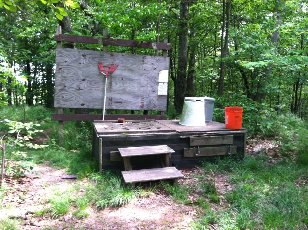
We bet there's astory behind this abandoned hiking aid.

37°25’20.9″N   80°36’29.6″W 

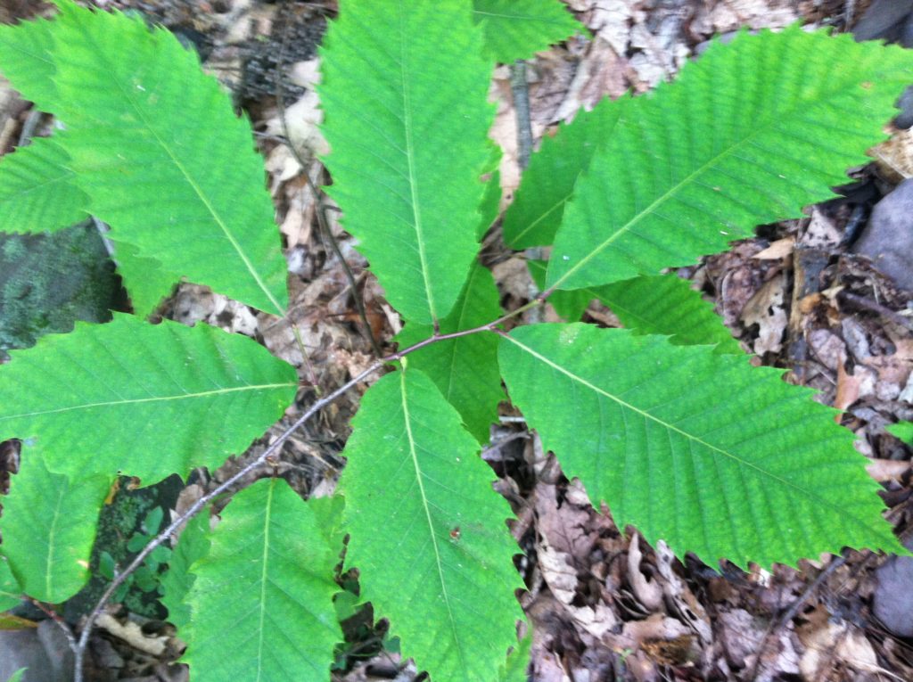
X's most exciting flora discovery of the day! She noticed many American Chestnut trees. After so many years dealing with the blight that killed many of them, here they are in SW VA struggling to make a comeback.
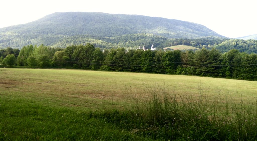
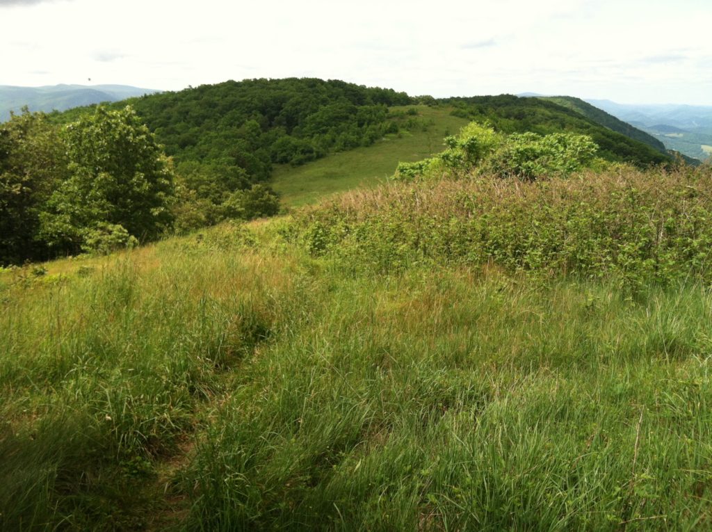
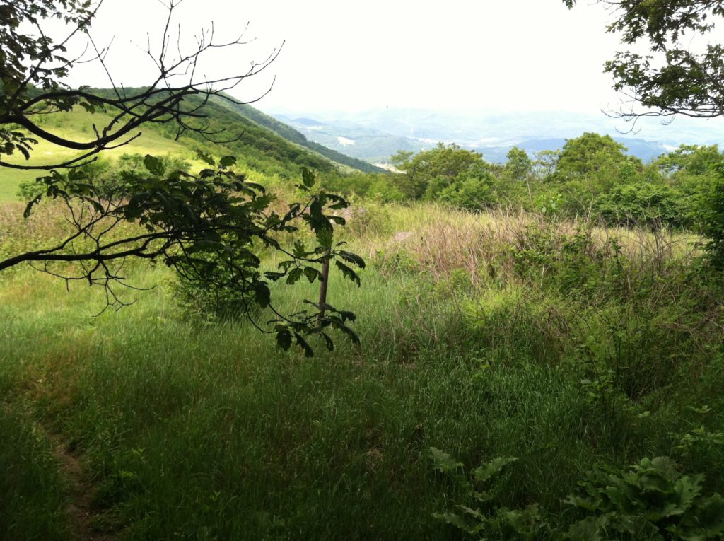
Looking south over Rice Field.
Rice Field Shelter: Proving one wall is better than none. Compared to some we've seen, this was definitely a step up.
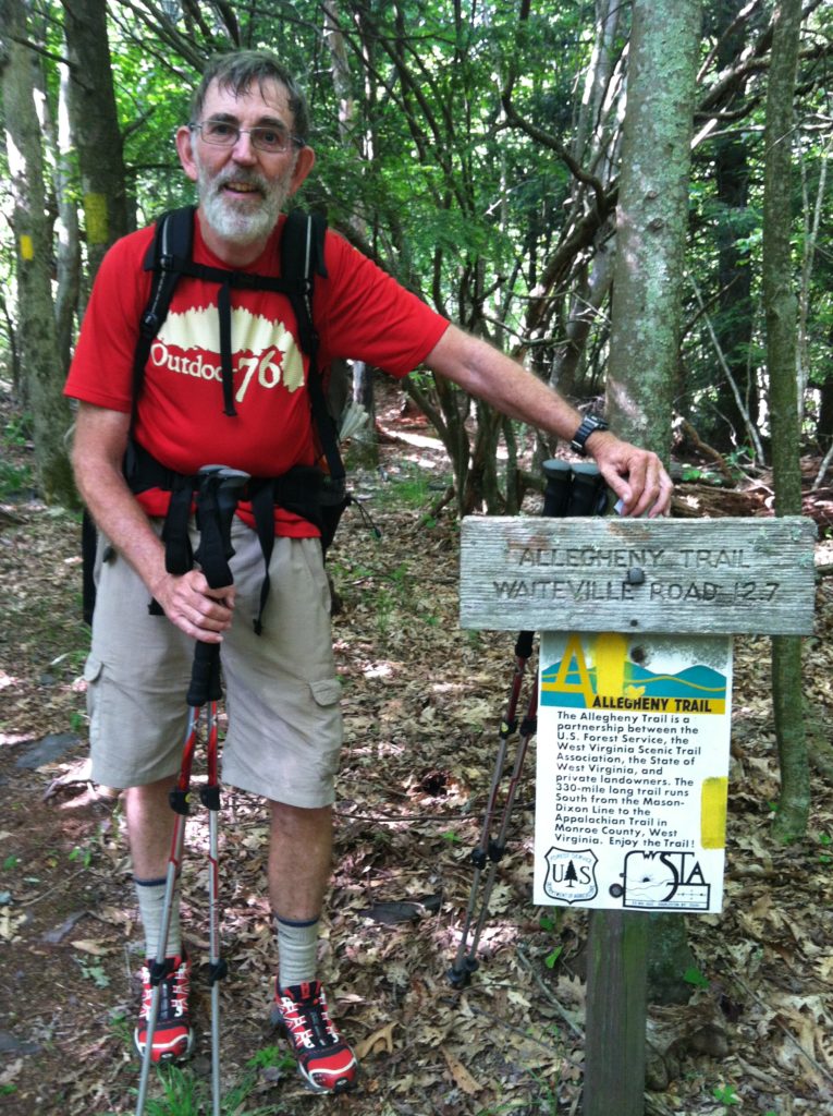
N at the end of the Allegheny Trail: All indications show we are awful close to West Virginia...
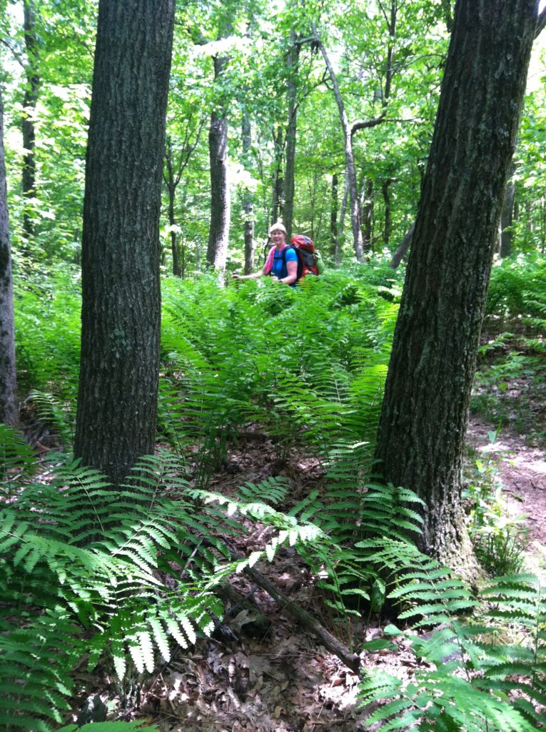
X among the ferns...