Memorial Day revisited (and a really helpless feeling when a fellow hiker has a big problem he doesn’t even know about)
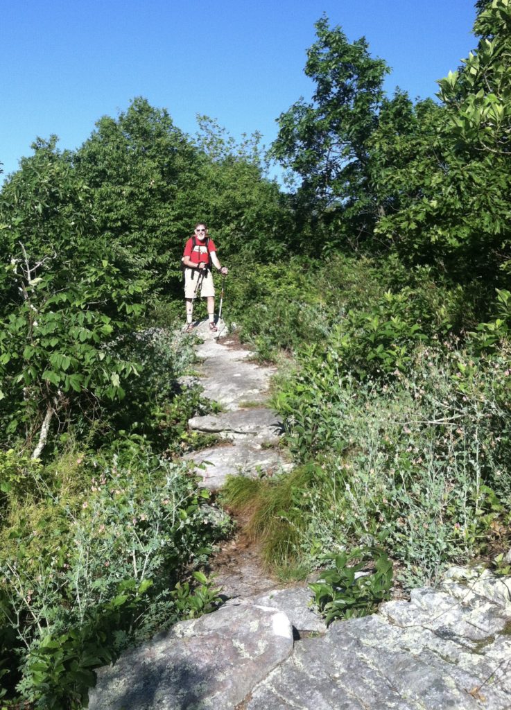
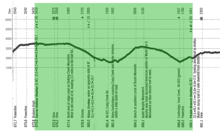
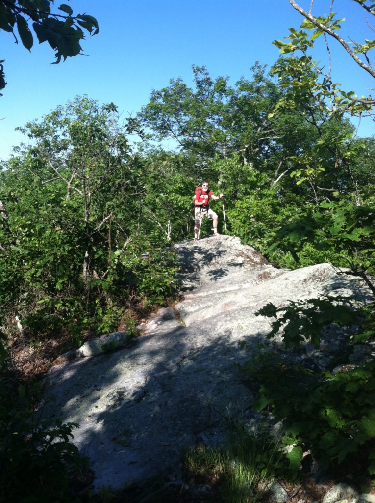
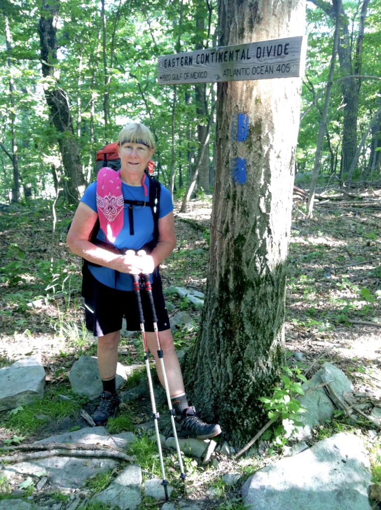
For the first two hours today we did a balancing act on the Eastern Continental Divide. The AT follows the knife-like ridge crest of Sinking Creek Mountain, running across large diagonal stone slabs that make for tricky footing, even in dry weather. We enjoyed the views, but our pace really suffered on that terrain. And we were sweating so profusely we could hardly spit to either side to see if it really went to the Atlantic Ocean or the Gulf of Mexico.
Running behind schedule coming down toward Niday Shelter, we passed a young college student heading quickly the other way, also not wanting to take time to talk. A mile later we saw a small blue dry sack lying in the Trail. Inside was a wallet, car keys, and phone: like all of life’s essentials. The photo ID showed it belonged to the young fellow now over thirty minutes up the trail. We knew even without a pack there would be no way we could catch him. About all we could do was attach a note asking if a southbounder came along, could he take it with him in hopes of finding the owner backtracking to look for it. We told our story to a young Marine we met at the shelter where we stopped for a snack, and later heard he had been successful in returning it to the frantic hiker.
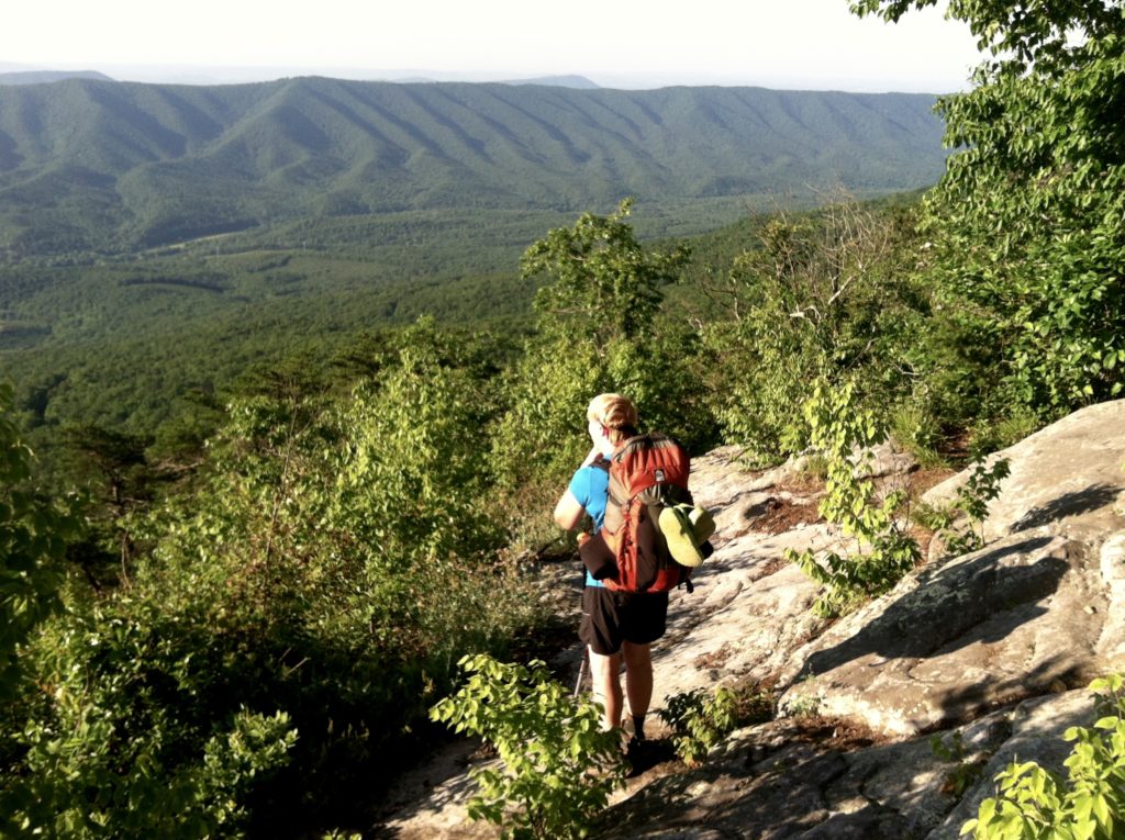
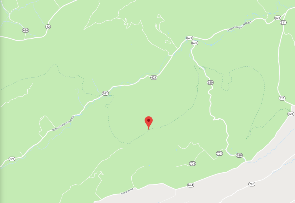
We left the shelter and as we were approaching VA state road 621 we spotted a large cooler on the left side of the AT. Could it be?! Why, yes. It was Trail Magic! Inside were orange sodas, water, fruit & salty snacks. The orange sodas – full of sugar – provided just the rush we needed to help propel us up the two mile, gradual 1,600′ climb of Brush Mountain. At the top we were rewarded with two benches and beautiful views of the valleys & ridge lines spreading out in the distance.
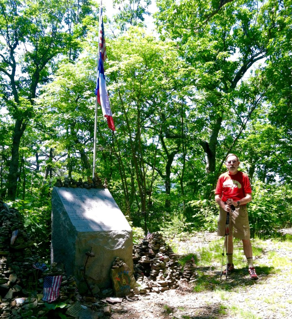
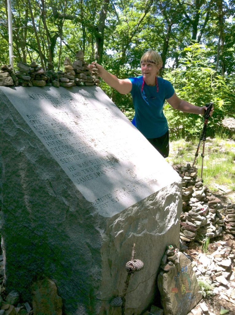
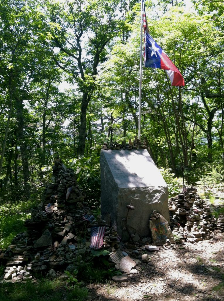
When we realized Memorial Day this year coincided with the anniversary of Audie Murphy’s death (May 28th), we thought how appropriate it would be to visit his memorial on that date, the first time in 23 years N has not been involved with the Memorial Day program at the Shiloh National Cemetery. Although that was not to be, we were pleased to visit the site today on top of Brush Mountain and follow the hiker tradition of placing a small stone near the monument.
On the descent, the wood’s understory opened up and as we rounded a switchback, we had a clear view over a hundred yards ahead. Just then, a large black bear came out on the trail at the next turn. There was a quick moment of us looking at each other before the magnificent creature bounded off down the hill. Until this point, our other bear sightings were mostly catching “the southbound ends of northbound bears,” but this sighting caught he and us square on. For a spilt second, all we could do was simply stare at each other. When we realized what we were looking at, it was too late for N to pull out his camera as the bear headed “stage right” over the side of the mountain. Certainly it took less time for all this to happen than it does to tell about it, but it was by far our best bear sighting to date!
With a weather forecast that included rain for tonight we headed to the Pickle Branch Shelter, although it is located a full third of a mile off the AT. We are joined by four young hikers, some we haven’t seen in weeks. That’s the magical community of the AT: friends new and old are always just a day’s hike away. If you stop in the right place, at the right time, the bubble brings us together. Our decision not to push on and camp proved correct as a thunderstorm arrived just at the end of dinner. The last forecast we had calls for 80% chance of rain tomorrow…
