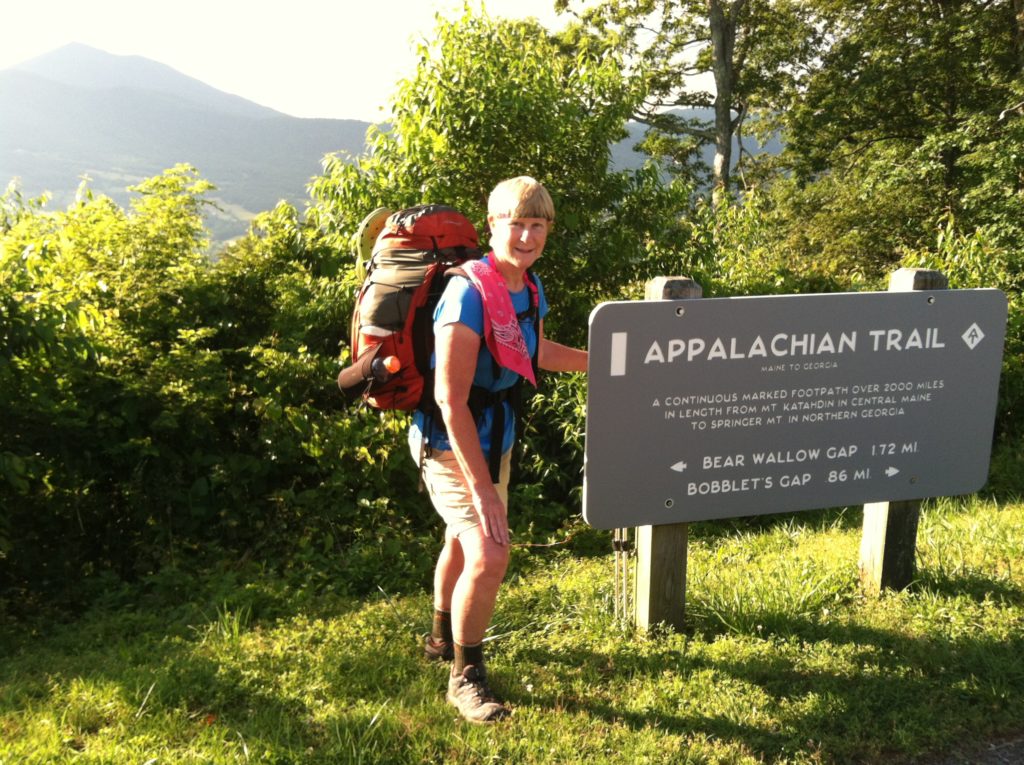
The Troverts put their eighth complete week in the book! (and pass up trail magic to pile up another three shelter day) {And, yes, as one of our sharp eyed readers noted, 2,184 divided by 3 is 728, so we are past the one third mark.)
As we write this, a gust of wind blows through the trees and a flurry of drops hit the slanted top of the shelter. It is hard to tell where the fog stops and the light rain begins, but one thing is sure, once again we are glad to have a roof over our heads! Twenty-four hours ago, the forecast for tonight called for 10% chance of showers, this morning it had risen to 30%, but as it settles in this evening, the weather looks a whole lot like 100% precipitation.
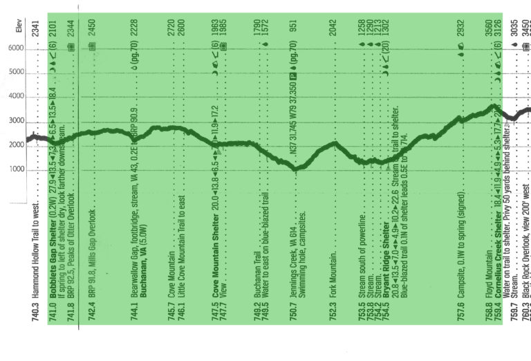
Our day started a little chilly and we were slow getting out of our sleeping bags. Most everyone else in camp was stirring as we climbed from the shelter back up to the AT. Less than a mile later we crossed the Blue Ridge Parkway at the Peaks of Otter overlook for our first nice view of the day. We have no complaints the trail’s modern route no longer goes over those formidable looking peaks.
Today we will be moving away from the Parkway, so at the last auto pull-out, we avail ourselves of the chance to deposit our heavy looking trash in a bear proof litter container. What a great start to the day!
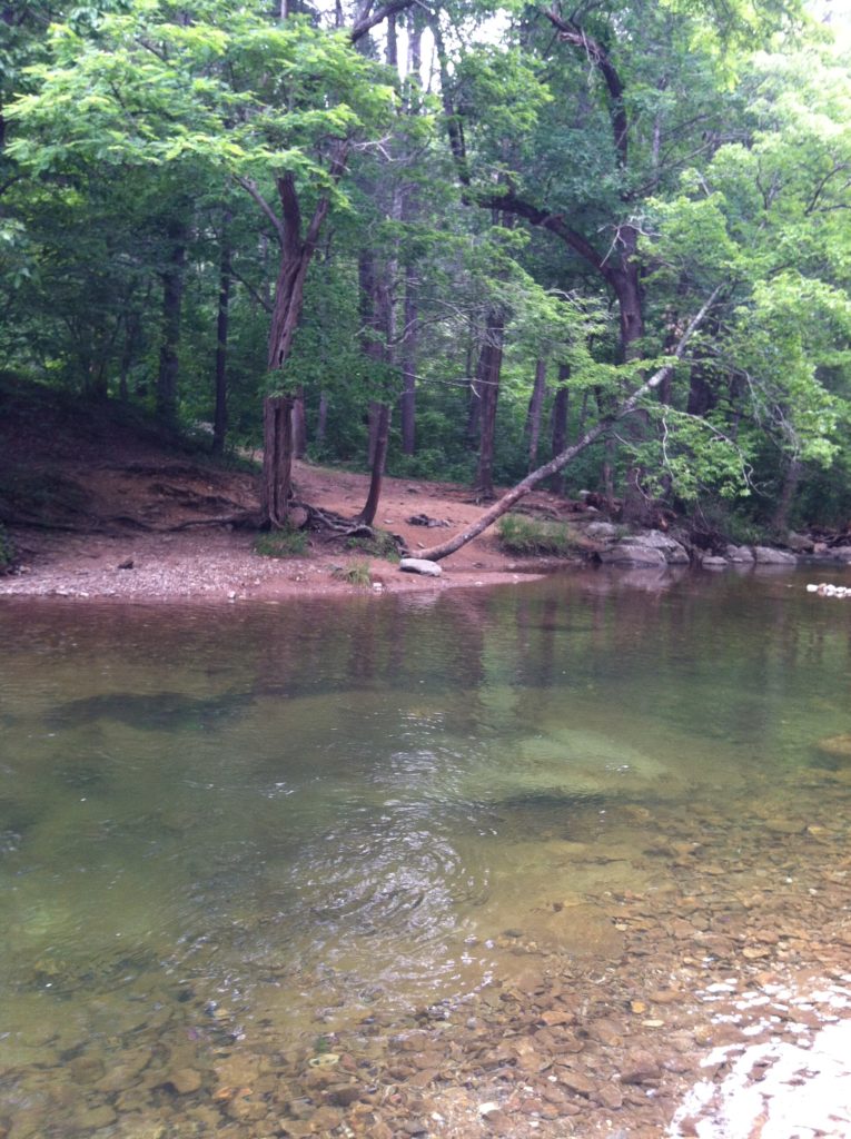
We cross VA 43 at the lovely Bearwallow Gap, then turn to roughly parallel that road to Buchanan as we make the gradual climb up and over Cove Mountain. We circle around the first shelter at 6.5 miles, but resist the urge to turn in, as we have learned those early breaks can really eat up prime morning hiking time. We soon are making a 1,000′ drop to Jennings Creek / VA 614. We’ve heard the stories about the great swimming hole there, and on a hot summer day, the creek does look like it would be inviting, but at cloudy and 56 degrees, this does not appear to be that day. A hand painted sign just before the road indicates there is some truth to the rumor of “trail magic at Jennings Creek.” It seems to be at a turn 150+ yards up the road, but we decide to take our chances with two large pieces of chocolate pudding cake we discover in a large Styrofoam box. As we are finishing the cake, a pickup truck with several hikers and an equal number of six-packs returns from making the beer run to town. The driver stops to add a personal invite to the burgers at the trail magic which are “just about ready.” We glance at each other, and pass, deciding to regain the thousand feet we’ve just lost as soon as possible with a climb up Fork Mountain. An hour later we find ourselves at the uniquely designed 20-person Bryant Ridge Shelter. This had been our original goal for the day, but it’s early enough for us to push on after a late lunch and water refill. We’d like to shorten our resupply day later in the week, and also we want to keep on schedule to meet X’s father this weekend.
The day’s final five miles involves a 2,300′ climb of Floyd Mountain. It’s steeper than anything we’ve seen lately, and our mantra is “Boy, I’m glad we don’t have to face this first thing tomorrow morning!”
We start to hear raindrops high in the trees as we make the final mile and a half down to the shelter. Only Retread and Greenhorn join us here, arriving in the rain just as we finish dinner. (Over 18 miles of trail today we saw only two other people – two southbound day hikers.)
The weather sounds like it’s decided: it’s going to be steady rain, which it seems to us is only good for one thing. Sleep, which we will now do…
