39, -78 and 97° (Plus the Troverts observe Hike Naked Day) (And start the Roller Coaster)
Summer officially begins today at 7:09 p.m. EDT with the arrival of the Summer Solstice. More important for the thru hiker community, the solstice also marks Hike Naked Day. So, at 12:01 a.m., eager to show off their combined 40+ pound weight loss as soon as possible, after discarding their camp pajamas, the Troverts don only their shoes and headlights, pick up their trekking poles, and head off to observe this traditional thru hiker holiday. This is our first attempt at night time hiking and we are stumbling more than usual. We also quickly discover we are now the target of every flying insect along the trail. Well before sunrise, we also realize with today’s predicted blistering heat, we are risking major sunburn in places that have not recently seen the light of day. We put our clothes back on…
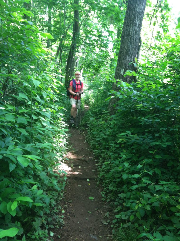
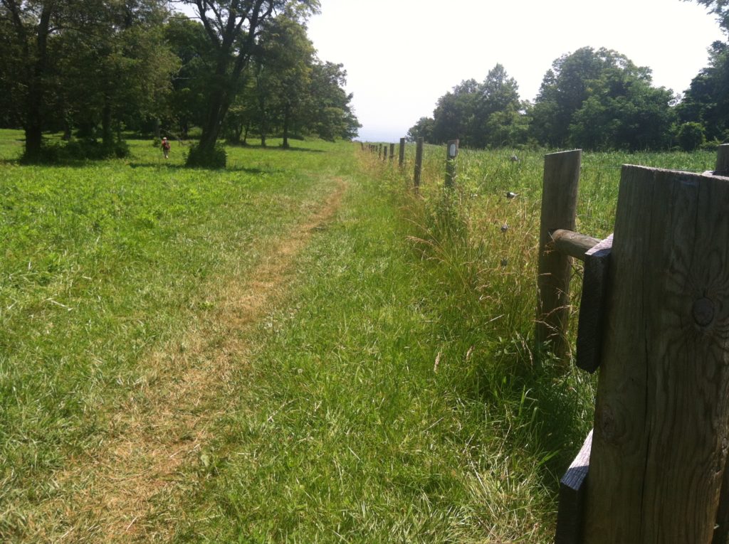
The AT is often described as “the long green tunnel.” However, this morning the trail felt like walking in the Long Green Ditch, as often the sides of the trail have not been trimmed back, making the walk seem claustrophobic with the tall thick vegetation closing in and the sun beating straight down overhead. We finally reached some welcome open space as we hiked through Sky Meadows State Park. This is an area familiar to both N and our BCM, and one where you can describe our location in only six characters: “39, -78” (that is, the designation for 39° North Latitude, 78° West Longitude). [For readers new to this report, this was all explained and documented in our long-ago February 28, 2012 Trail Journals entry. Most of the accompanying photos seem to have died since then, but we will list the link, as well as one for the Degree Confluence Project, until such time as we are able to come back and update all of this stuff…]
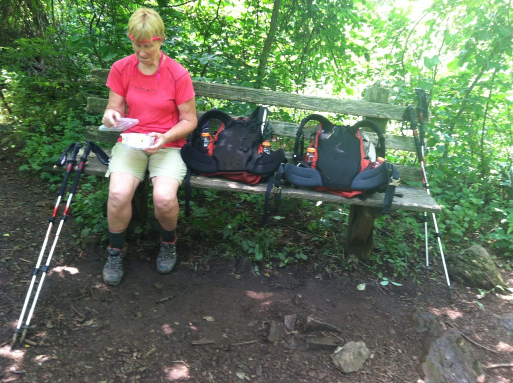
By early afternoon, both the heat and the humidity were making the day not one of our more favorite ones on the AT. We had stopped at the strangely shaped Dicks Dome Shelter to take on water at lunch. At Rod Hollow Shelter we stopped in briefly to drench our shirts in the cool piped spring water which provided immediate if short lived relief. (There we ran into the same four hikers we had first met at the Denton Shelter 13 miles back at the same time yesterday. Other than Retread and Greenhorn early, and two folks walking south around Ashby Gap, that was about all the people we saw on the trail all day.
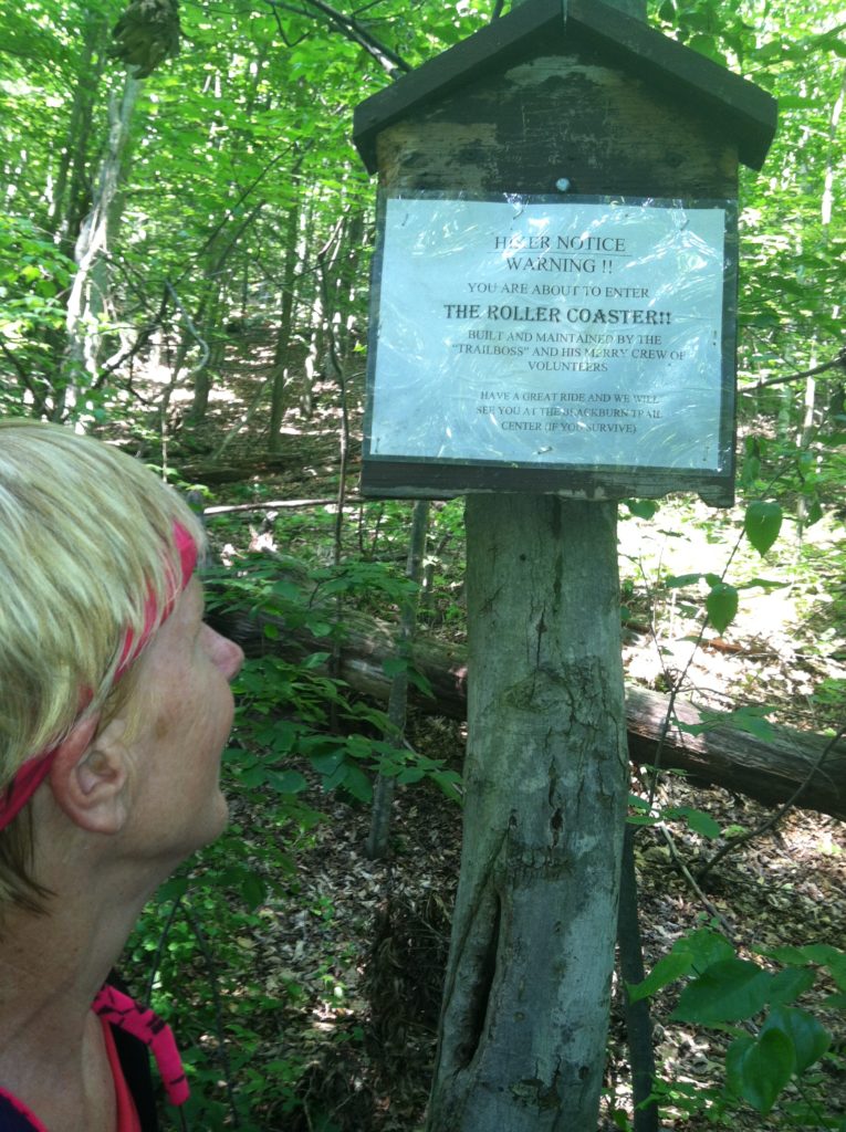
Just past the shelter, we began the dreaded Roller Coaster, 13.5 miles of tightly packed ascents and descents (more accurately described as “pointless ups and downs,” or PUD’s). On the third of the Roller Coaster climbs, Rob, our current off trail chauffer ended our misery by meeting us at a gravel road in the middle of nowhere and taking us back to cold drinks, hot showers, another great meal, and a soft bed. [Rob and Rebecca provided some of the most insistent assistance of all our friends along the way: they simply would not take “no” for an answer, as Rob being there to pick us up at the end of a dead end road, whether it was on the east or west side of the AT!]
Having good friends living nearby to support us is truly a blessing of the Shenandoah – Harpers Ferry corridor and we are getting spoiled more and more each day…
From: VA 55, Manassas Gap
To: VA 605, Morgan Mill Rd (gravel)
Today's Miles: 19.1
Total Miles to Date: 990.7
[Our daily elevation profile comes from David "Awol" Miller's 2012 "The A.T. Guide," which we found to be invaluable. Get your updated copy at www.theATguide.com]
Recalling the "Degree Confluence Project"
[There are only three or four spots where you could say a whole integer latitude – longitude crossing is “close” to the AT. Today we passed by one of these but did not detour down the power line cut and into the woods to visit the exact spot. Here are two links to websites (neither in great shape as of 2018) where we’ve talked about this before: #1
and #2.]


