Port Clinton, Pulpit Rock, and the Pinnacle - Paying dues for the views of the Lehigh Valley (And we see our heaviest used section of the AT in 1,226 miles!)
We met Sgt. Jen “the Kid” Jordan a little north of Duncannon when we were able to help her get back to her car at the Susquehanna Bridge, following a weekend backpacking trek on the AT. She said she lived near Port Clinton, and if she could give us any help when we were coming through to just give her a call. So, on her way to work this morning, she swung by the Microtel and gave us a ride back to the trail head. She’s just a few years away from retiring from the Army and doing her own thru hike. Maybe we can return the favor someday… [As it turns out, Jen is the anonymous trail angel who left the personalized trail magic the other morning. Thanks, Jen. You’re the greatest!]
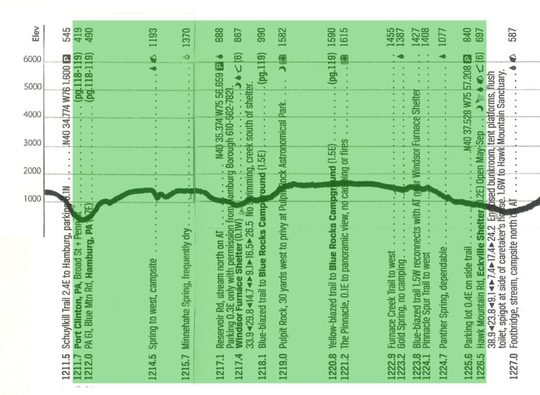
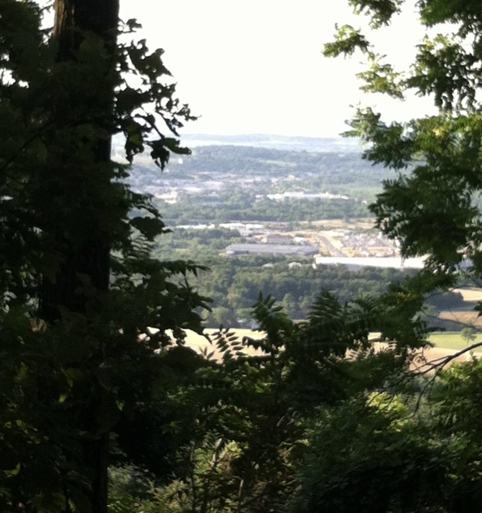
After a Rest Day yesterday, we were happy to be back on the trail this morning. We had three nice views today and had to work for each one of them. The climb north out of Port Clinton didn’t seem as rough as the descent on Wednesday (and we had cool temps at 7:00 a.m.), but it was still a 900′ climb. Once or twice we had nice views to the interstates and beyond.
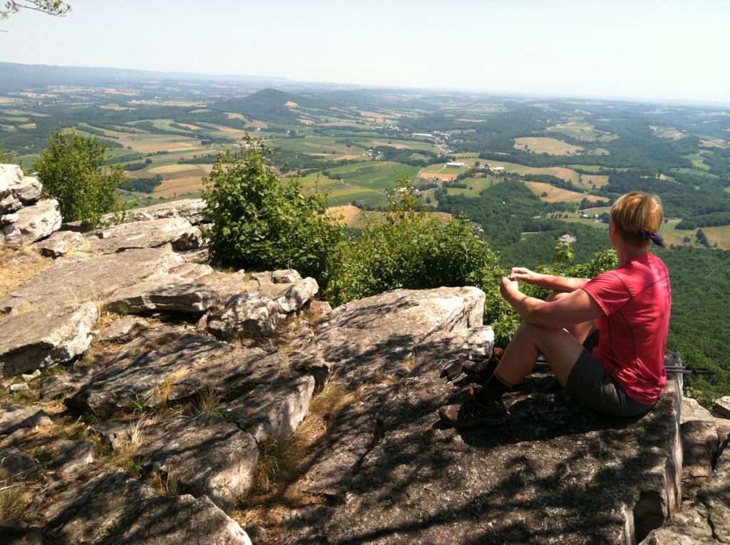
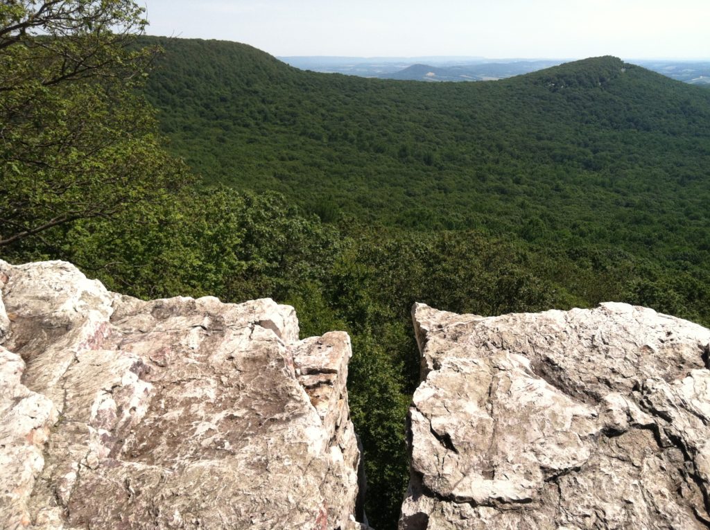
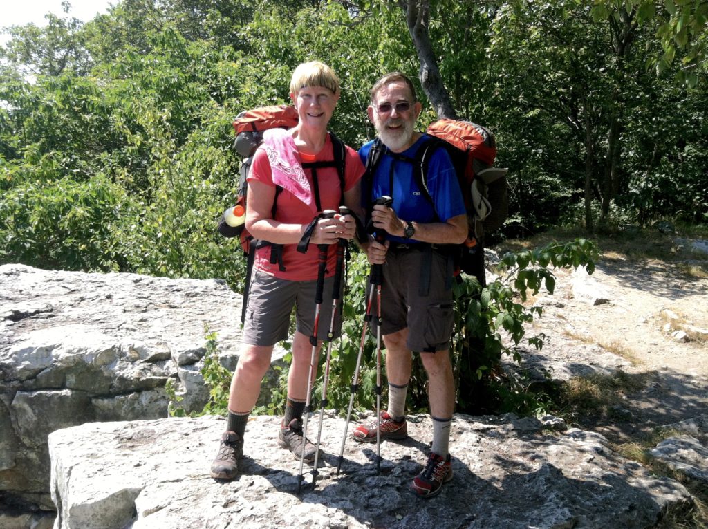
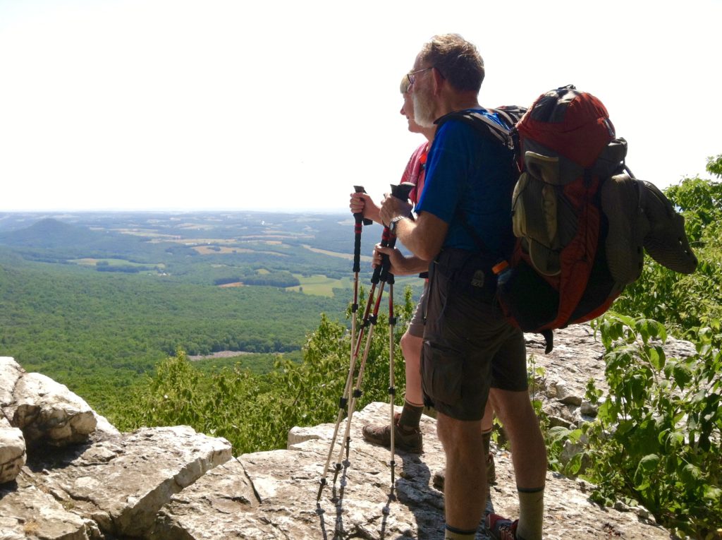
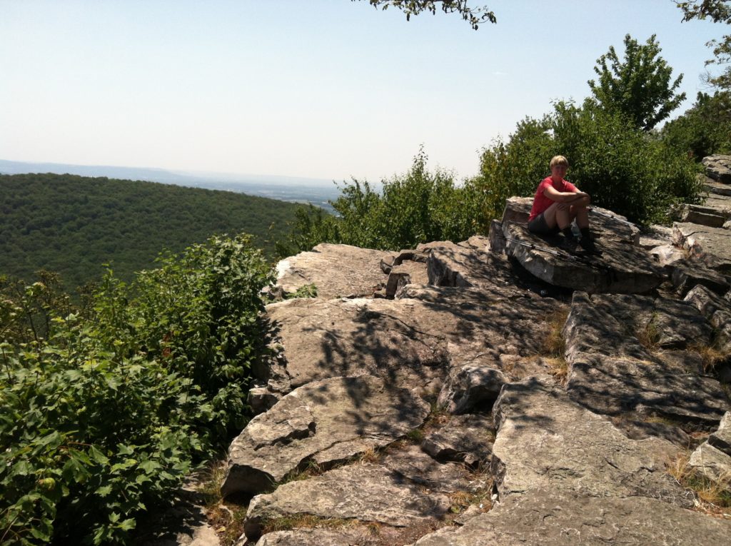
After some easy walking by the site of the old Windsor Furnace, we had another climb up to Pulpit Rock and the local astronomical park. There was a nice view over to The Pinnacle, but the rocks between the two places were about as gnarly as you could ask for, and it seemed to take forever to get between the two points. The Pinnacle was a great place for lunch with nearly a 360° view and we joined a handful of day hikers just hanging out and having lunch themselves.
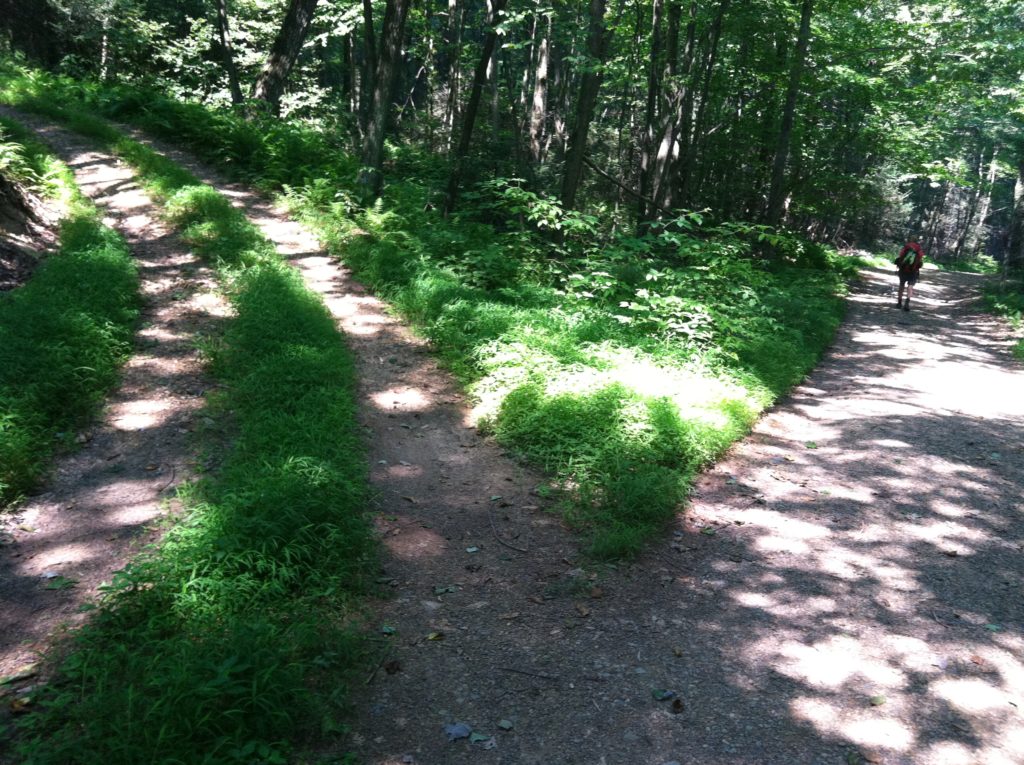
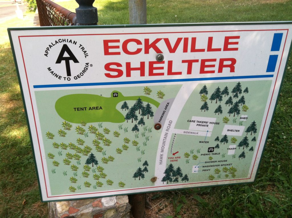
As we were leaving, a large summer youth program group (at least 75, maybe a hundred with counselors???) arrived. It was great to see this many high school age kids out in the woods, but their wilderness demeanor is still in the early stages of development. We wondered how this novice group had made it over a rocky section that would challenge any veteran, like the one we just crossed, but when we got on their approach route, we found it to be an old fire road all the way down to the well-appointed Eckville Shelter: enclosed bunkhouse, tent platforms, flush toilet, solar shower, and water spigot. A caretaker lives on the property as well and the place is a lovely spot to spend the night. We turn in early in hopes of a cool early morning start on a day the high is predicted to be 99….
