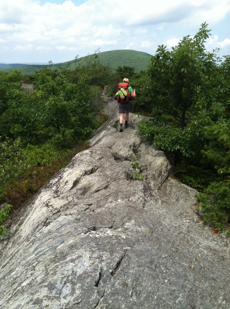
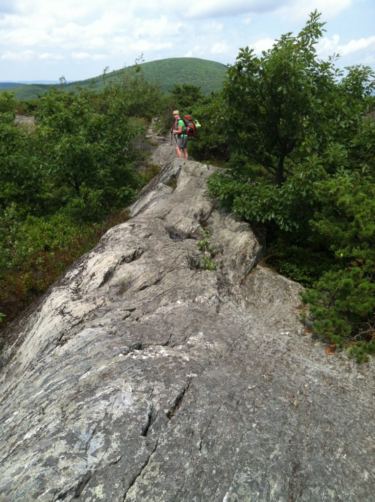
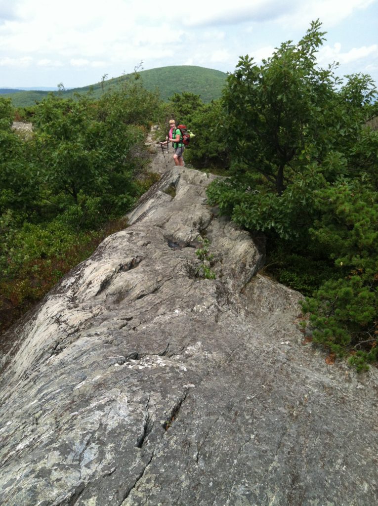
Bear Mountain, Mt. Race, and Mt. Everett
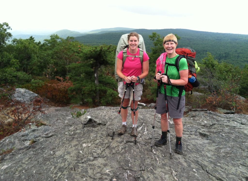
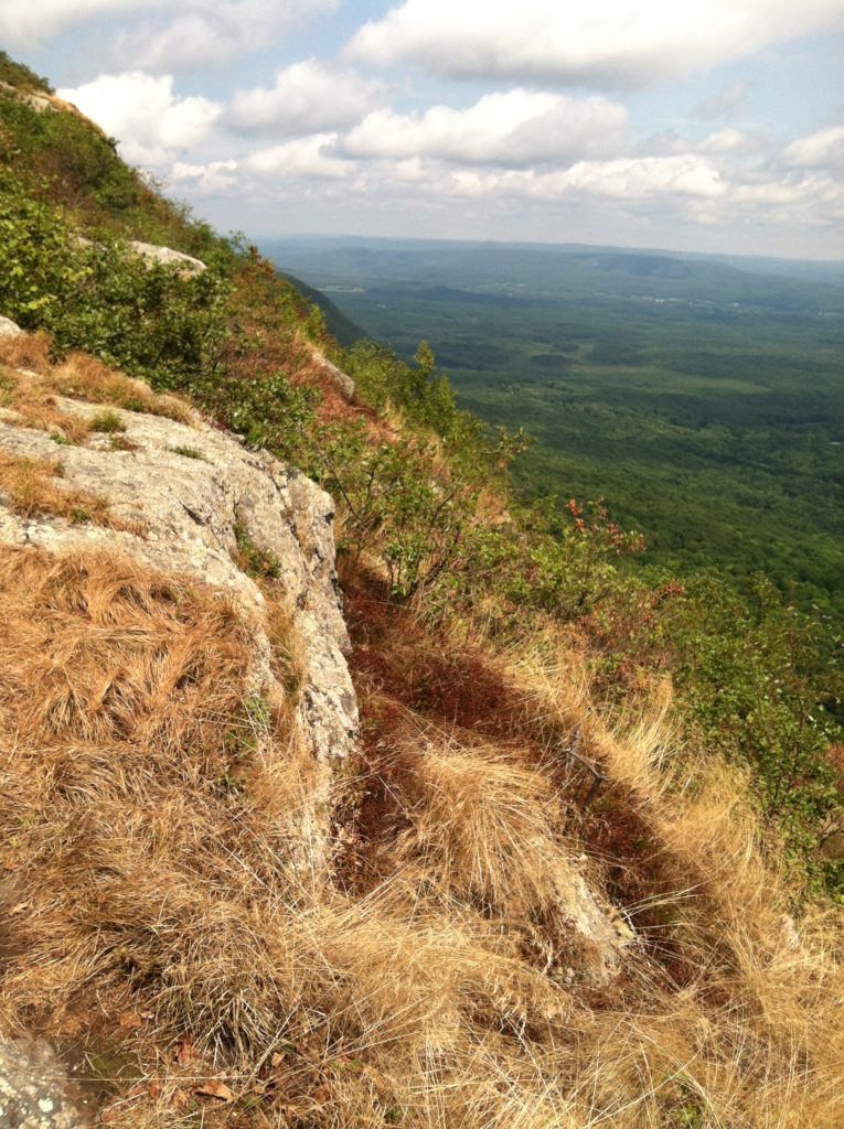
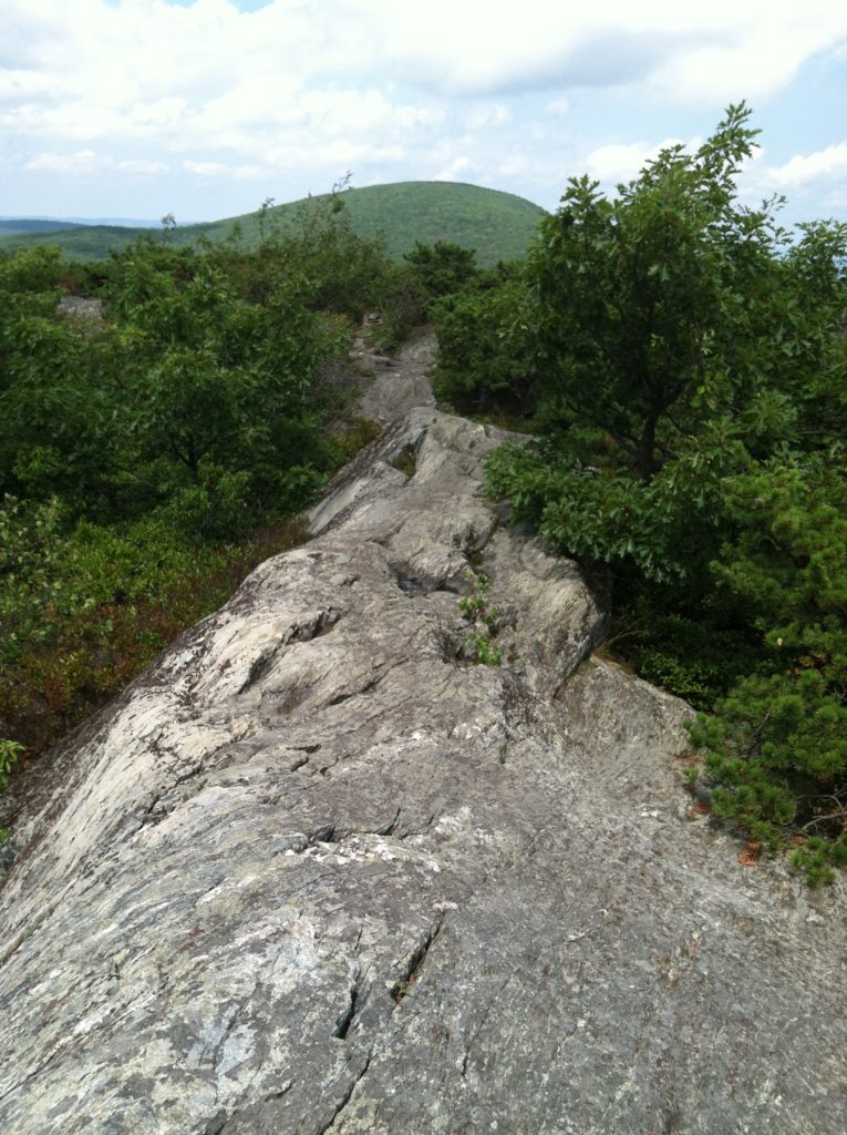
[Additional note to any readers who are not our children: Before commenting on our ascents of Bear Mountain, Mt. Race, and Mt. Everett today, we need to make the following brief clarification. So as not to unnecessarily alarm our children while we’re on the AT, we will be using certain code words in our reports. When we encounter a particularly hairy/ formidable climb or descent, we will often describe it as “fun.” This will cover all situations up to and including rocky areas the very sight of which is enough to scare the pooh out of you, but which we are able to navigate without drawing blood or breaking a limb. If we describe an area as “tough,” that means we fell once. If we describe an area as “rough,” that means we experienced multiple falls there. If we had done today’s hike last Saturday as originally planned, many of the rocks would have been wet from the rain and the falls would have made the description in the “very tough” category. Today the sun was out, everything was dry, and while we didn’t exactly fly up and down these mountains, we did have a lot of fun with the triple whammy the AT threw at us today…]
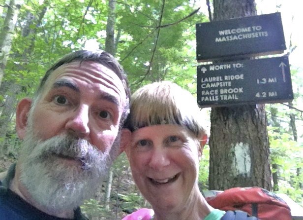
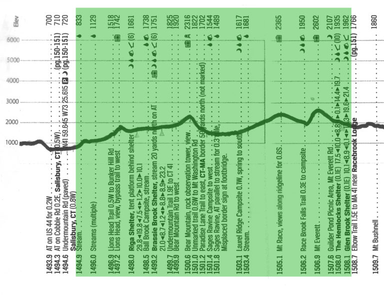
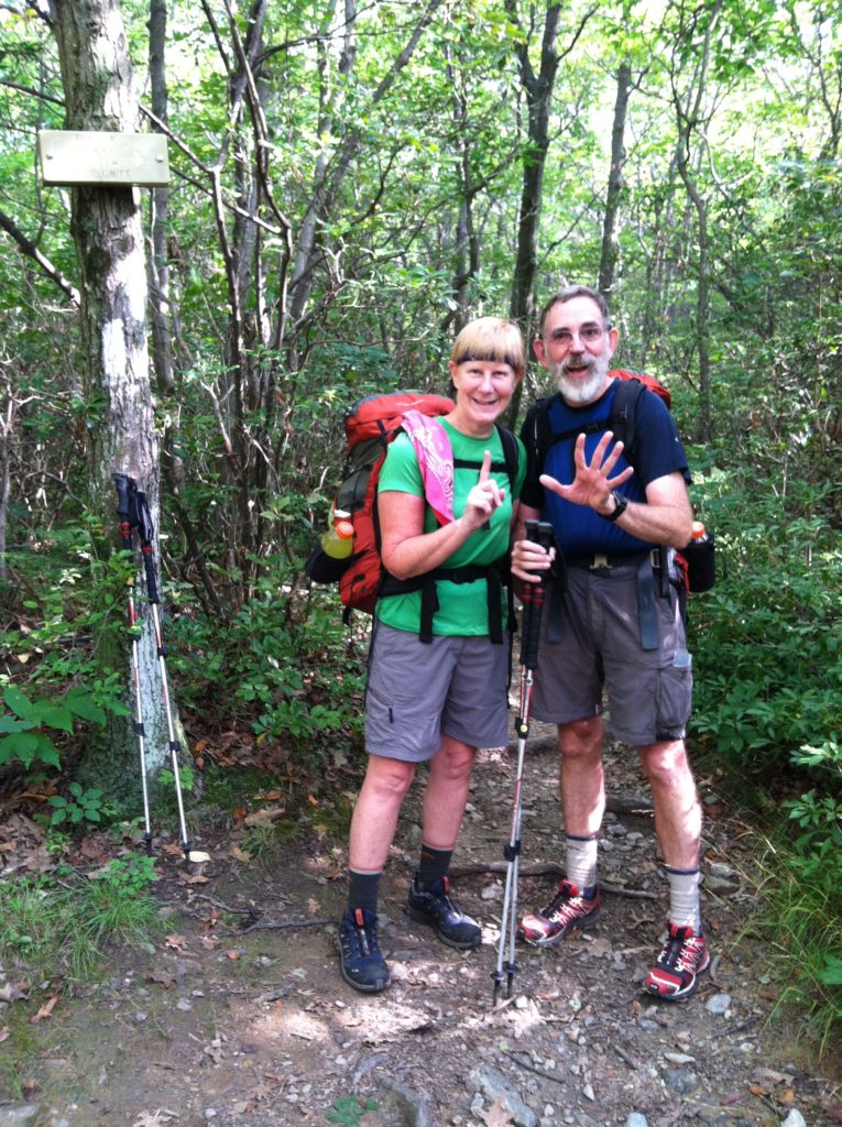
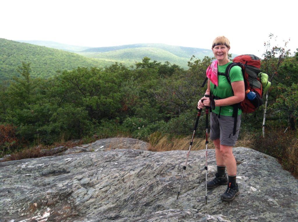
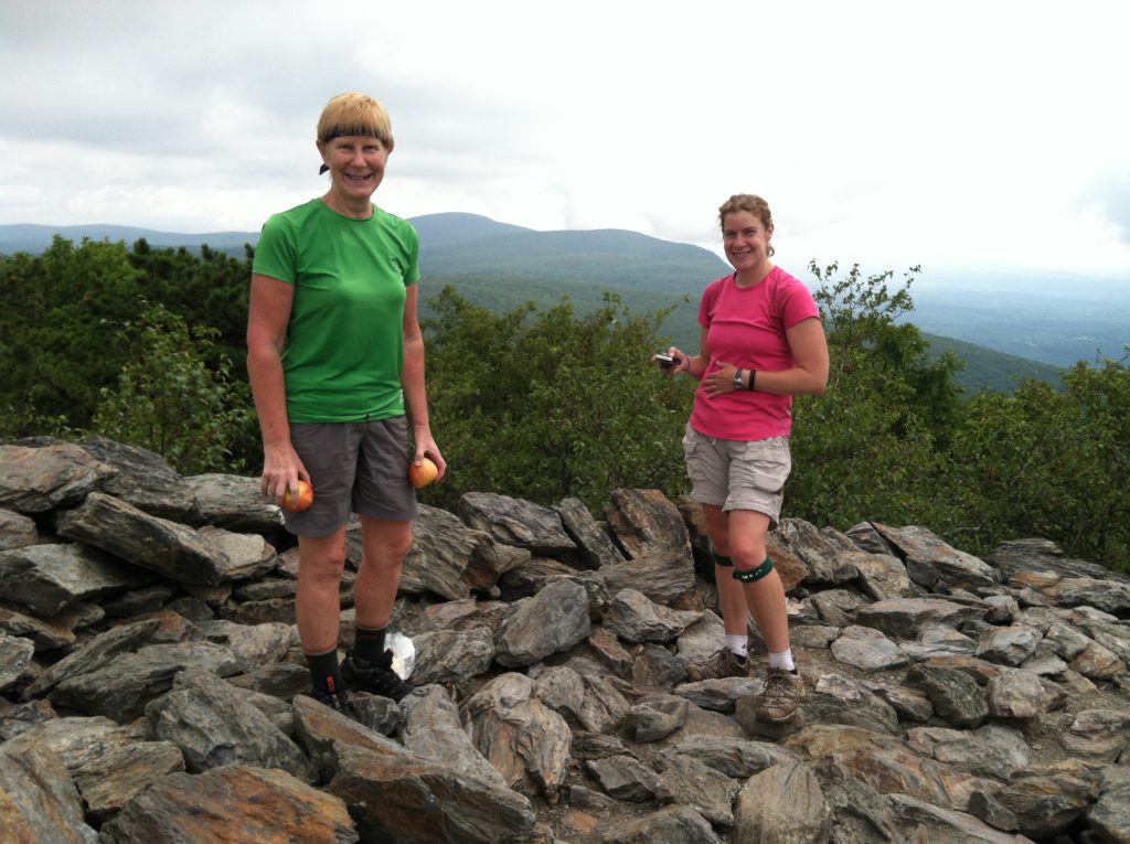
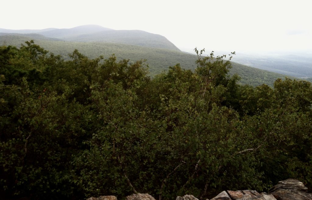
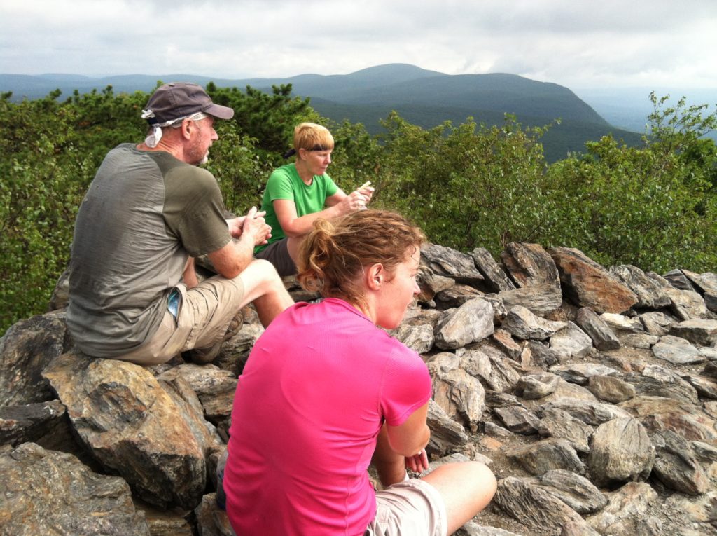
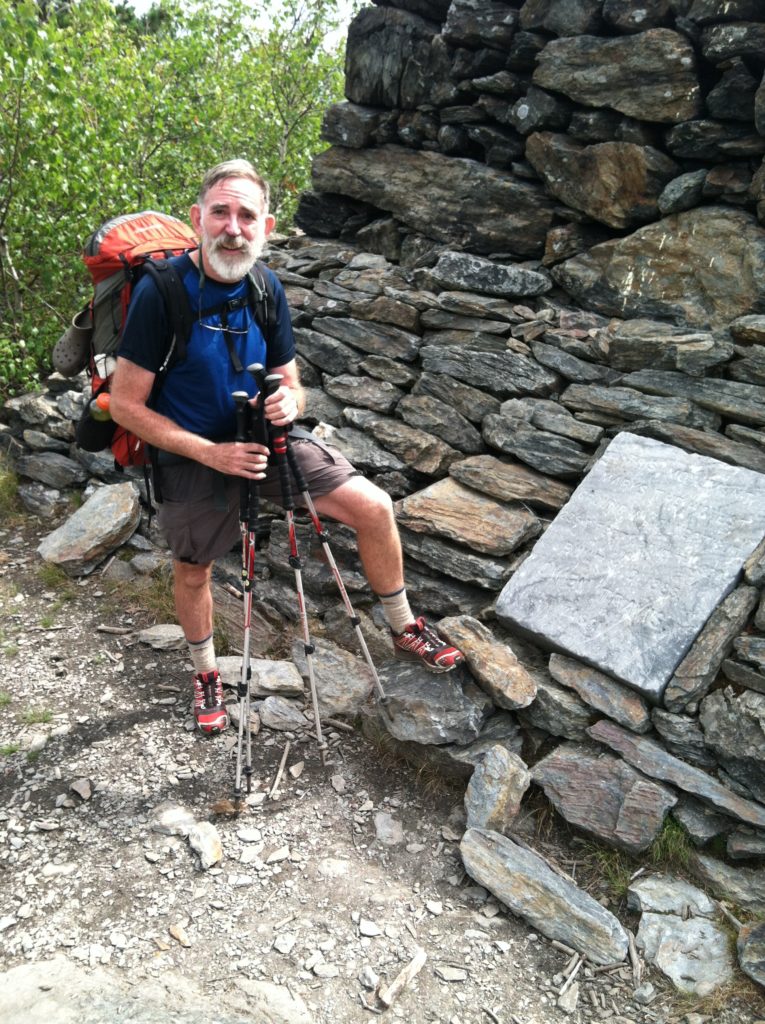
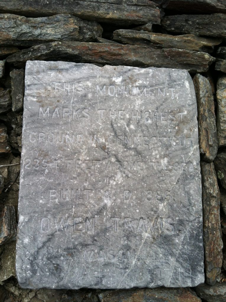
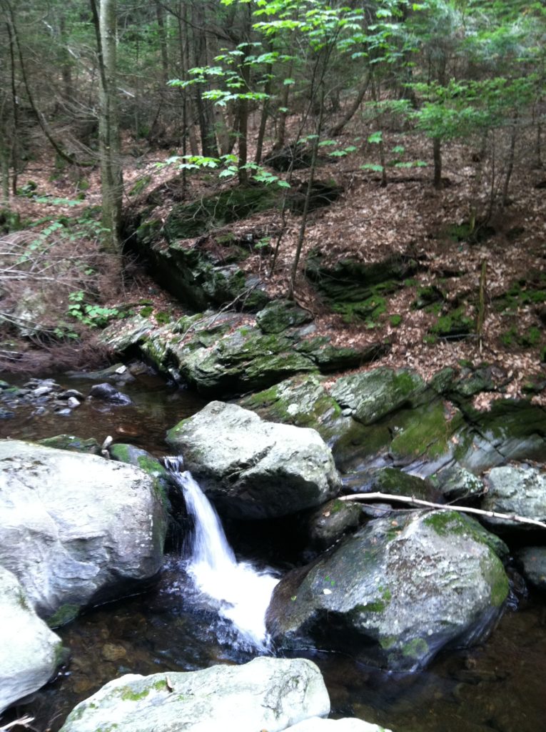
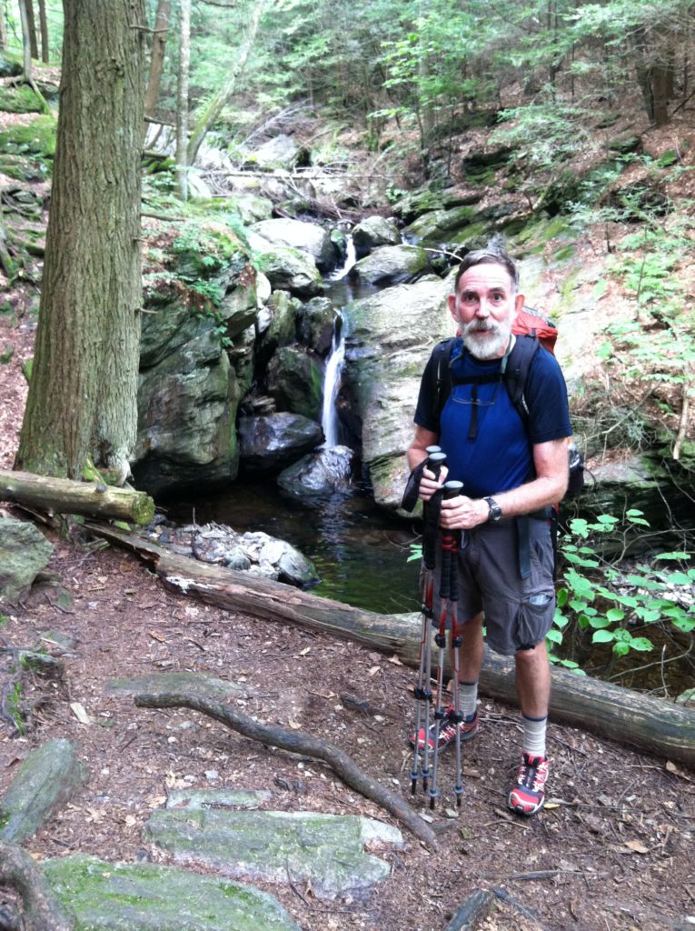
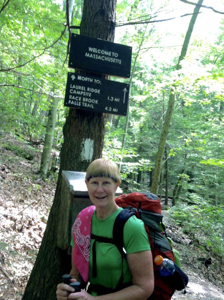
Today was much anticipated, not just because we were finally out again for a full day of hiking, but because of all the notable landmarks: 1,500 miles completed; a visit to Bear Mountain, the highest peak in Connecticut; and crossing into Massachusetts for our state #11. We also passed through Sages Ravine just after the state line, a pristine area that gave us a chance to walk beside a picturesque stream with lots of little waterfalls. We even had trail magic with a seemingly endless supply of ice water at the Guilder Pond Picnic Area.
With three challenging but fun climbs under our belt, we didn’t mind a fairly early stop today. Almost as many southbounders are here tonight as northbounders, plus a large youth group which makes us appreciate how open and spacious this site is…
