Hurricane Rain! and a foggy trip over Baldpate Mountain
Staying at the Pine Ellis Hostel, we had a good opportunity to canvass both southbounders, and northbounders a day or two ahead of us on the trail, about what to expect on Baldpate Mountain, the big climb on the next leg of our hike. We also kept an eye on the radar and an ear to the rain outside overnight to try to figure out the hiking prospects for today.
Although several hikers at the hostel decided to zero, N pushed the Gang to hike while we had Susan’s support, and the forecast at least called for improving conditions as the day progressed. As we got ready for the ride back to the trail, the rain, which had been tapering off, started back in earnest, and the group began to question the wisdom of its collective decision to hike. However, at the trailhead, the rain was again about to stop, and falling precipitation was not problem for the rest of the day. But by then, there was already enough hurricane rain on the trail to affect the toughest part of the day’s hike.
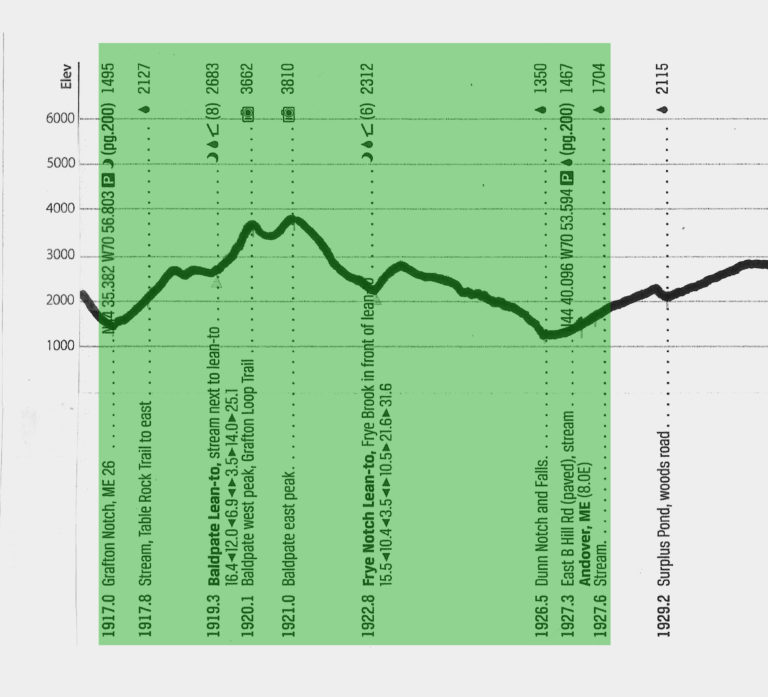
Our day divided nicely into three parts. We began with a 2,150′ ascent of Baldpate Mountain’s east peak. As mentioned, with the rain letting up, our socks remained dry for the two hours it took to cover the three miles. What an unexpected blessing! The trail had a large number of stone steps, which made it easy to work up a sweat, and we all peeled out of our rain gear pretty quickly.
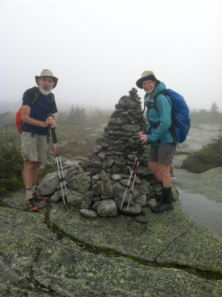
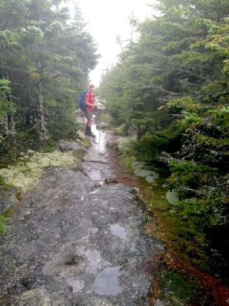
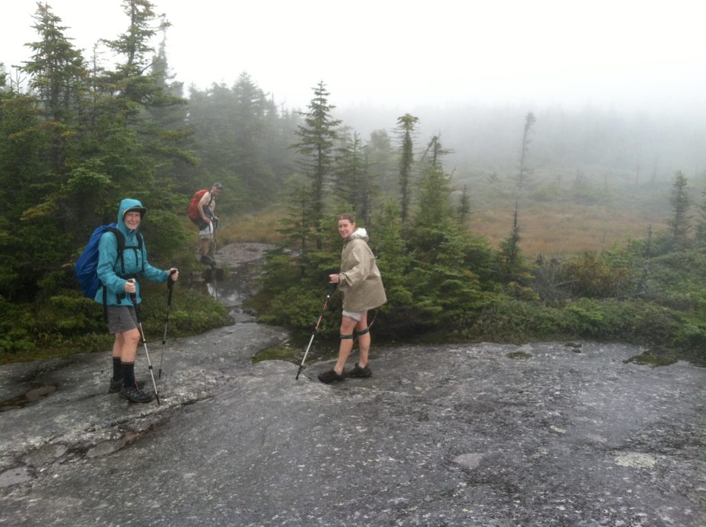
Phase Two of the hike involved crossing the east and west peaks of Baldpate and the flat exposed rock section in between: it was by far the toughest part of the day. We were in the clouds the whole way, and out in a strong wind, we felt very chilly. On a clear day, this section would be a real treat, but today the wet rock made the trail very slippery and no fun at all. West peak was especially nasty as we had to work our way up and over several steep ledges. We were often down on all fours trying to find a dependable handhold and keep our balance in the breeze. Thankfully, coming down the north side got us back in the trees, but this descent was also very steep. By now our socks were soaked, which freed us to step in all the puddles which generally provided the best footing. We polished many small tree trunks hanging on for dear life, and wore out the seats of our pants doing much butt sliding. At the bottom, we were more than ready for a lunch break at the Frye Notch Lean-to.
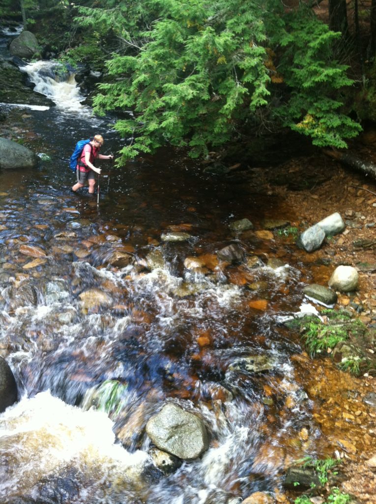
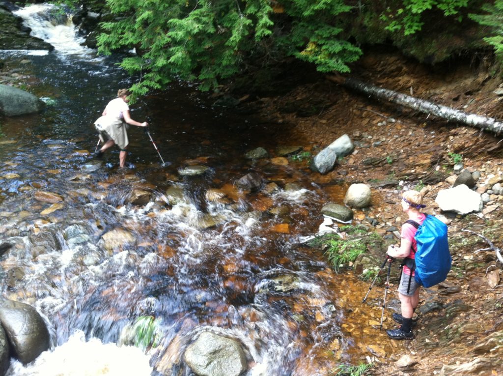
After the stop at the shelter, the AT became more like a real live hiking trail again. Our pace over the last 4.5 miles picked up accordingly. About 3:00 p.m., the sun even made an appearance! Less than a mile from the end, we had to ford the stream above the Dunn Falls, not exactly “swollen” but certainly with more water flowing than 24 hours ago. N saw this as a great chance to wash his muddy shoes and plowed right through. The rain also made the stream warmer than yesterday and our first real Maine stream fording was very pleasant.
We arrived at East B Hill Road just minutes before Susan, who was joined by her friend Pat, who had driven up from Portland to bring us homemade peanut butter chocolate squares. Having two vehicles, they were able to offer a ride to Andover to a hiker couple and dog who got to the road right after us (Old Smoke, Log, and Yo-Yo). We were all glad we had braved the hurricane to put some more miles behind us, but were more than ready for a hot shower and hot food. While at the Andover store and diner, we saw a half dozen other hikers, including Flapjack whose father had signed our guestbook just yesterday. Like every other male hiker on the trail, he looked good and fit but thinner and with more hair than when we saw him last…
