Crossing White Cap Mountain
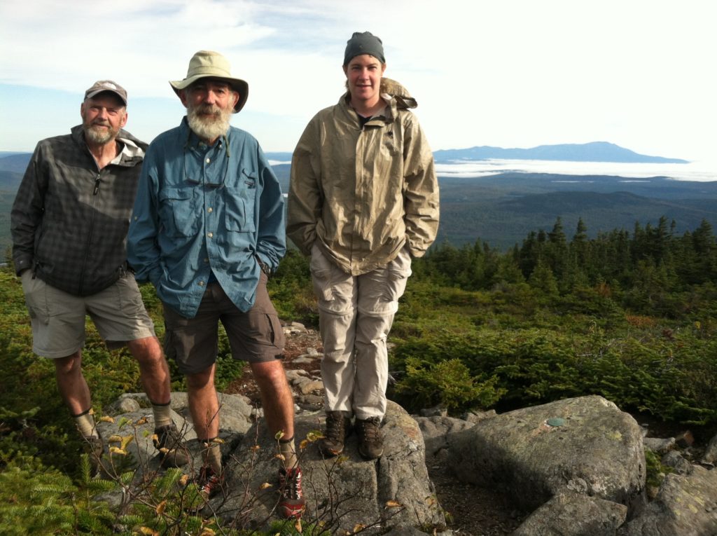
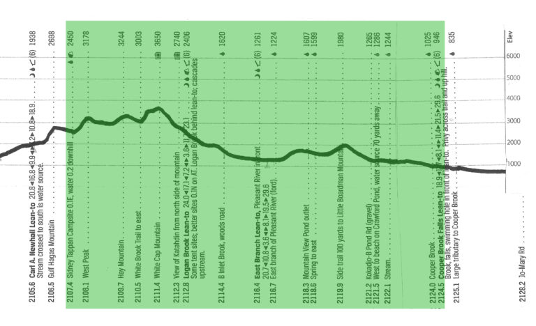
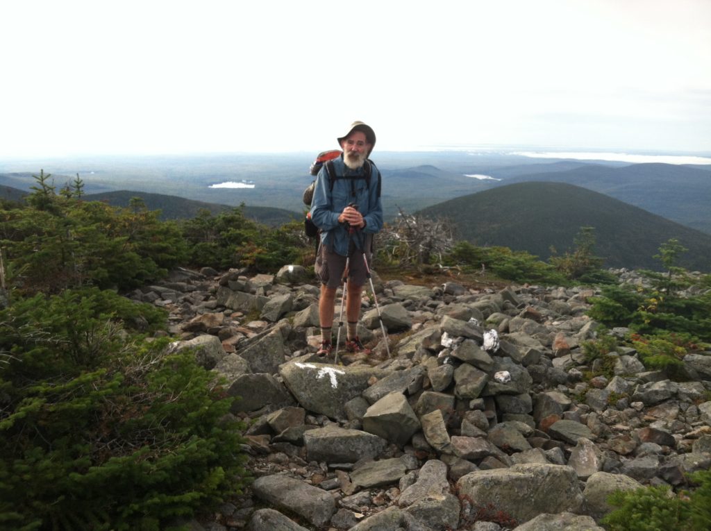
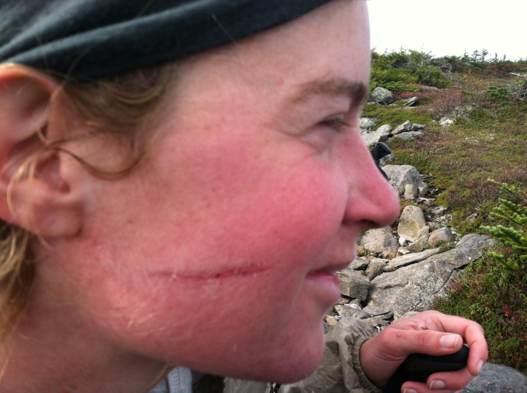
We climbed West Peak, Hay Mountain, and White Cap Mountain, getting our first great view of Katahdin (70 trail miles away), and making our last climb above 2,000′ until the final day. Leaving the White Cap summit, Kleenex tripped and had a run in with a small tree/ big bush which left a nasty scratch on her right cheek. Just past Logan Brook Lean-to, Castaway began experiencing foot pain that would trouble him the rest of the day, but he persevered, saying if it wasn’t better in the morning, he might need some time off. After we forded the east branch of the Pleasant River, the trail eased up and we decided to try and make this shelter before dark. We made it and found no one here! A creepy man dressed in a flannel shirt and dungarees (obviously not a hiker) made an appearance a little later, but apparently moved on. Tonight we are less than 60 miles from Katahdin…
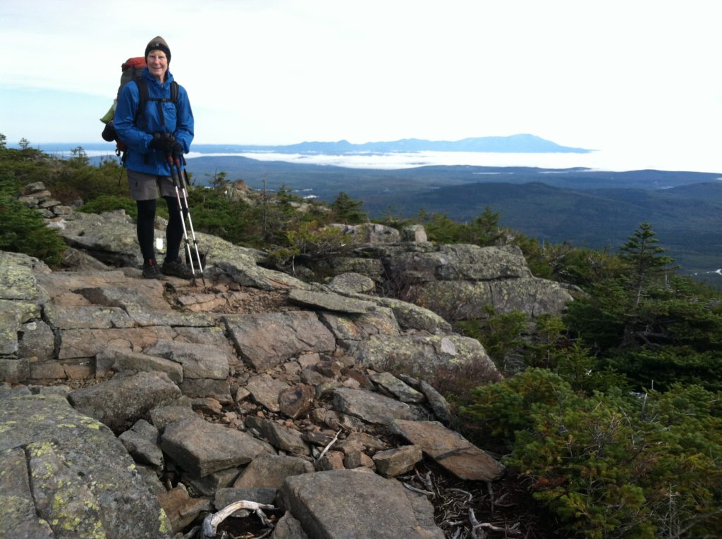
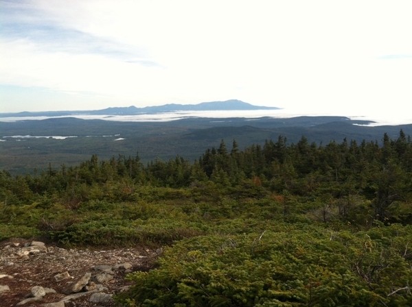
Friday September 21st started out chilly, making it hard to get moving in the dark, but we were on our way right at sunrise. N, unsatisfied with his very small Little Debbie honeybuns, which although light weight, were not nearly as filling as the 650 calorie Mrs. Freshley giant honeybuns he was craving, was forced to dig into today’s snacks to supplement his meager breakfast. We had three separate climbs in the first four miles, but they were not as tough as anticipated, and we were on top of White Cap Mountain before 8:00 a.m. The initial view was to the south, but a painted arrow saying “view” directed us through the bushes to a view of Mighty Katahdin, rising up from the lower mists to the north. Certainly an emotional highpoint, even after we returned to the trail and found even better, more open views right on the AT before we started our way downhill. Although (and maybe because?) the footing was not particularly troublesome, Kleenex momentarily lost her balance and went crashing into a very prickly nearby bush. She was very fortunate as the resulting nasty scratch on her cheek was very close to her eye, but the sleeve of her DriDucks looked even worse, like she had been hit with miniature buckshot.
A mile and a half beyond White Cap, we took a short break at the Logan Brook Lean-to, where we again ran into Great Lakes and Tall Grass. They had passed up a campsite at Sidney Tappan yesterday to do a few more miles before stealth camping for the night. Another mile and a half later, we reached B Inlet Brook, and an active logging road. Just north of the road, we were caught off guard when to X’s question “How’s everybody doing?,” the normally stoic Castaway replied “Not so good.” At this point into the hike, the entire Gang of Four was a little beat up, and Castaway had been taking his share of Vitamin I for a painful knee, but this was something different, as the top of his right foot had rather suddenly and without any particular cause, started giving him trouble. And if Castaway was complaining, we took it to be something serious!
Of course at this point, though right at a road, we had no cell service, and couldn’t have called for help, even if we’d wanted it. Which Castaway didn’t, saying he’d walk two miles to the next shelter and see how he felt. Which he did. When we stopped for lunch at the East Branch Lean-to, his foot was no better, maybe worse, and Castaway proposed sending us on, while he took the rest of the day off at the shelter to rest it. He even found most of a paperback book on the shelf, with which he could pass the time. This idea was rejected by the group, as being alone in the woods, with limited food, no cell service, and rain in the forecast, didn’t sound like a good plan if Castaway woke up the next day in even more discomfort… However, he rejected our counter proposal for us all to stay overnight, and in the end we all headed further north, with the idea of coming up with an extraction plan at Jo-Mary Road, if necessary.
Castaway left a little ahead of the rest of us, saying he was going to be traveling slow. However, 3/10 of a mile later, when we came to the East Branch of the Pleasant River (which gave the shelter its name), we found he had already scouted out the ford and returned to help the rest of us across!
According to the profile, the upcoming Little Boardman Mountain offered the only chance for miles where we might have cell phone reception. We wasted some time on the lower slopes where we were confused by an unnecessary sign talking about a 2010 re-route of the trail, but eventually got to a place where we could send text messages to see about Rebecca at Lake Shore House back in Monson making a pickup if Castaway needed it tomorrow.
With some daylight remaining, we were all glad to be off our feet at the Cooper Brook Falls Lean-to, and for our part, amazed we (Castaway especially!) had been able to up our mileage for the day to 17. The shelter overlooks the brook where a month earlier the swimming hole would have been a popular item, but to our surprise, we arrived to find the site completely vacant. We helped Castaway set up his tent on flat ground by the brook, while the rest of us spread out in the shelter. Shortly after, a strange acting man (certainly not out of the hiker mold!) showed up, and from his garbled conversation, put us all on guard. We were relieved when after rearranging his gear, he headed off (actually, more like disappeared) into the night. We did not see many unstable/ homeless looking folks on the trail, but when we did, we were always glad we weren’t alone…
