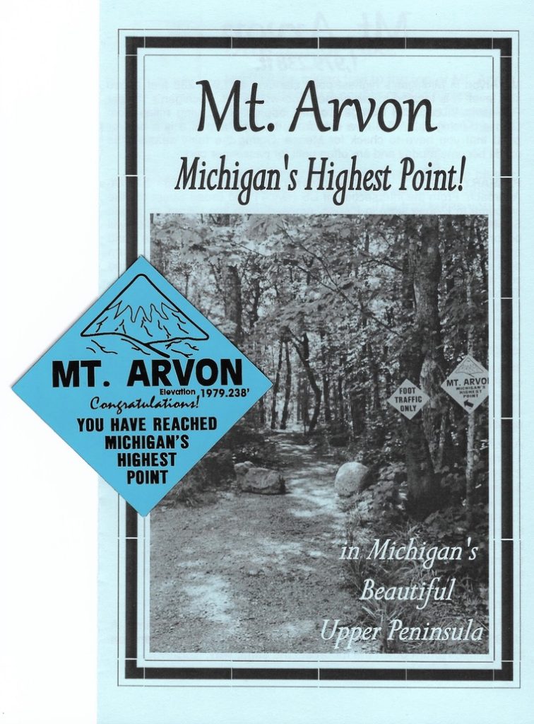
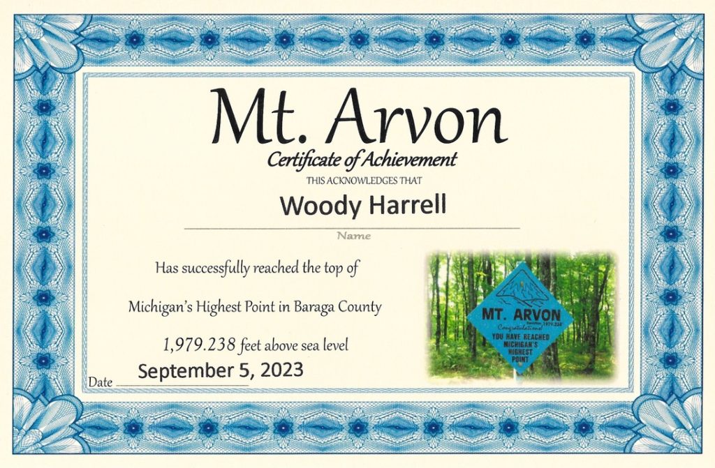
State High Point # 38
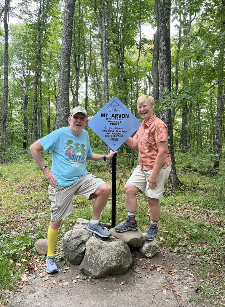
Mt. Arvon, Michigan
1,979.2'
September 23, 2023
State High Point # 38.2
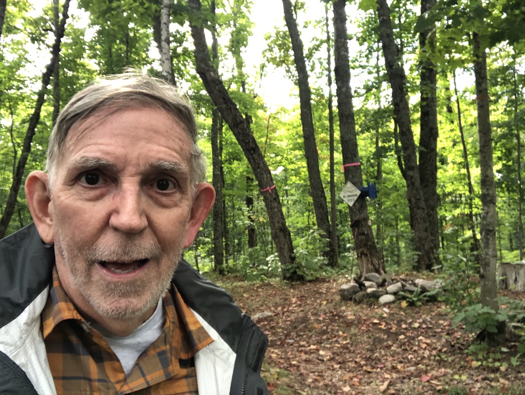
Mt. Curwood, Michigan
1,978'
September 11, 2023
"Michigan: It’s a Game of Inches," or “Covering all your bases in the UP”

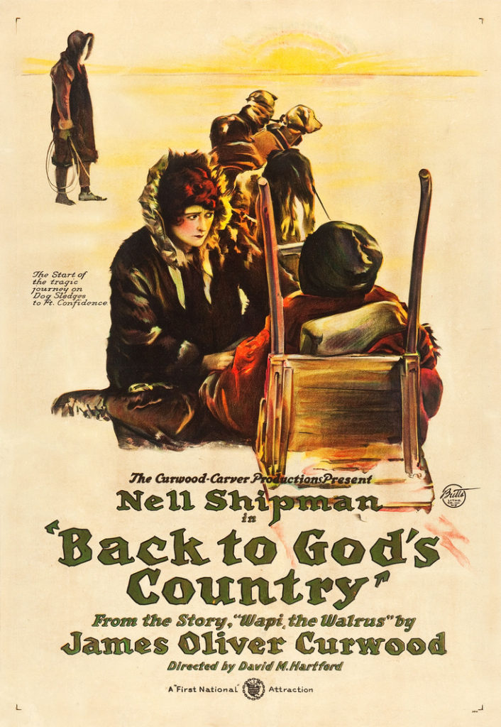
Named in honor of James Oliver Curwood, a 1920s Michigan action-adventure writer, Mt. Curwood is a part of the Huron Mountains range located in L’Anse Township, Baraga County, Michigan [While few today are familiar with the name, at the time of his death, Mr. Curwood was the highest paid (per word) author in the world!]
With an elevation of 1,978 feet, 2 [plus or minus] inches (603 m), Mt. Curwood held the title of Michigan’s highest point from the 1950s until a 1982 re-survey incorporating modern technology determined nearby Mount Arvon is actually 1,979 feet, 2 [plus or minus] inches high – not quite a foot taller than Mount Curwood. [Mount Arvon takes its name from deposits of slate in the area reminiscent of those found around Caernarfon in Wales. Note: As best can be determined, the Arvon slate has never authored a single manuscript, much less inspired a number of movie scripts, as has Mr. Curwood’s work.]
Prior to the 1950s, Government Peak, 60 miles to the west in the Porcupine Mountains, was recognized as Michigan’s highest point, at 1,850 feet elevation.
The morning after ascending Mt. Arvon (and following a night which saw the passage of the “Mother of all Cold Fronts” and its accompanying torrential rains), I stopped at the Baraga County Convention & Visitors Bureau to secure my official Mt. Arvon High Pointer Achievement Certificate and souvenir summit sign magnet. Asking the helpful woman at the desk for information on Mr. Curwood current conditions/ directions, I learned Lyme Great Lakes Timberlands LLC (the owner) had been doing work along the route earlier in the year, and while she was sure the roads mentioned in her directions were most assuredly still there, there was no guarantee additional new roads had not been added, which might muck up a first timer’s attempt to visit.
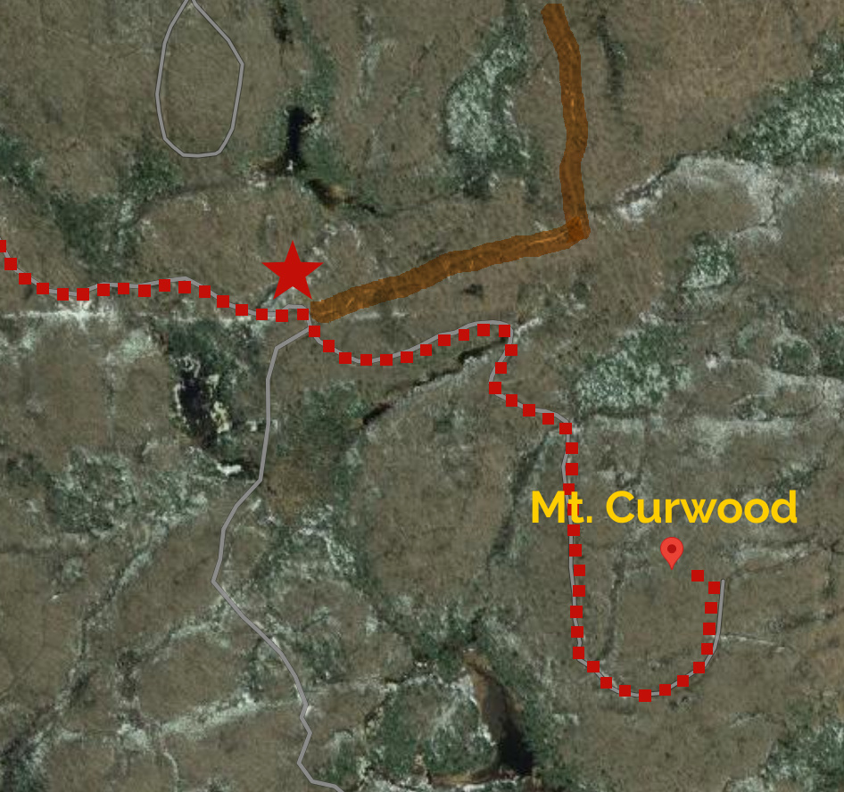
She advised extreme care at the point where her directions said “Come to an intersection with 3 roads. New road on left. Road on right is hard to see. Move up and veer to the right and you will immediately see the road to the right. Take the center road.” She printed me a detailed color topographic map for this junction, which made everything clear to me, but only after I made the wrong turn I was advised against.
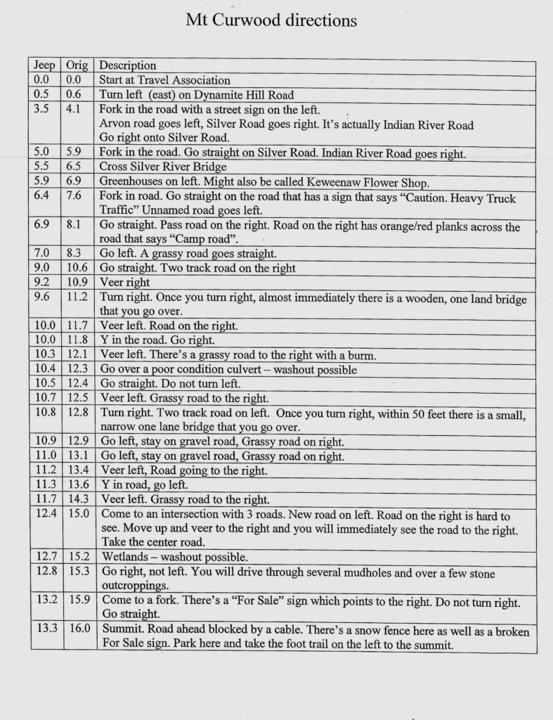
Suitably armed with the best available intel, but dreading the possible conditions from the huge rain, I returned five days later to tackle, first the paved roads, then gravel, then logging trails. I found active logging is in progress in the area but little had been done to add to the maze of logging roads winding through this part of the Huron Mountains. The mileage figures on the Tourism directions were spot on, and except for the aforementioned three road junction issue at Mile 15.0, the correct choice was always evident. Several rock slabs challenged my Rav 4, but proceeding at a slow, steady pace allowed me to both ascend and descend without bottoming out. The recent rain had indeed left many sizeable puddles, but all were shallow with a hard bottom.
The cold front had taken temperatures from the upper 80s to the upper 40s, and on a beautiful fall afternoon, I did not encounter a single insect. I’m assuming the day’s only other visitor (unseen, but who presence was indicated by a motor bike tread) had a much easier trip than me. I enjoyed this visit more than Mt. Arvon, and if a future re-survey reverses the order of Michigan’s first and second tallest peaks, I will have no need to return to the area (except for the World Famous HUGE cinnamon rolls available in L’Anse)…
Dynamite Hill Road was a let-down. Let's move on to Silver Road. (I'd still call this civilization...)
If your directions say "Go left. A grassy road goes straight" then you're probably here.
Some of the bridges seemed more substantial as you approached, compared to being on top of...
The biggest, deepest, softest puddle I encountered. Fortunately, this was after I made a wrong turn and I got to retrace my path rather than trying to ford...
The Rav 4 says this is a good place to park.
A little berm, followed by a short walk to Michigan's #2 high point.
The person on the motor bike got to drive further than I did...
Bench mark, Mt. Curwood.
Fall comes to the second highest point in Michigan. At least since 1982.
Hard to get much more than 11" inches higher than this in Michigan, unless you're on tailings...
The restaurant was closed, but the cinnamon rolls were available at the counter.
Dollar bill to show actual size of the rolls.
