State High Point # 19

Taum Sauk Mountain, Missouri
1,772'
August 4, 2021
State High Point # 19
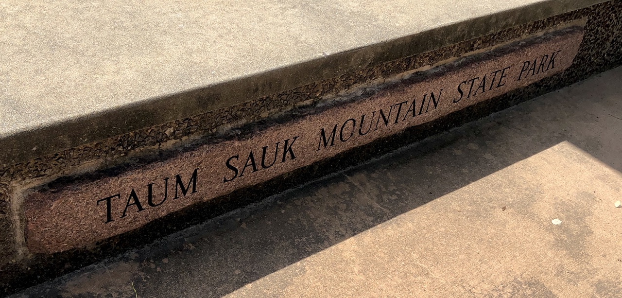
Bench at Mina Sauk Trailhead Parking Lot
View towards the Northeast.
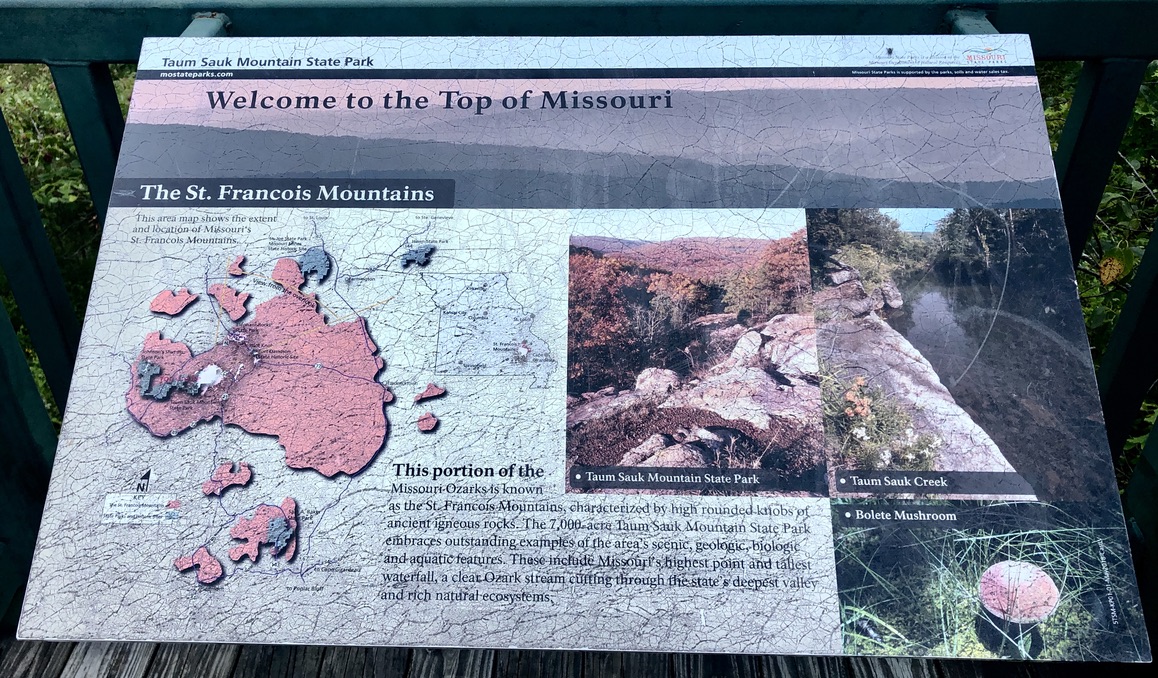
"High rounded knobs of ancient igneous rocks..."
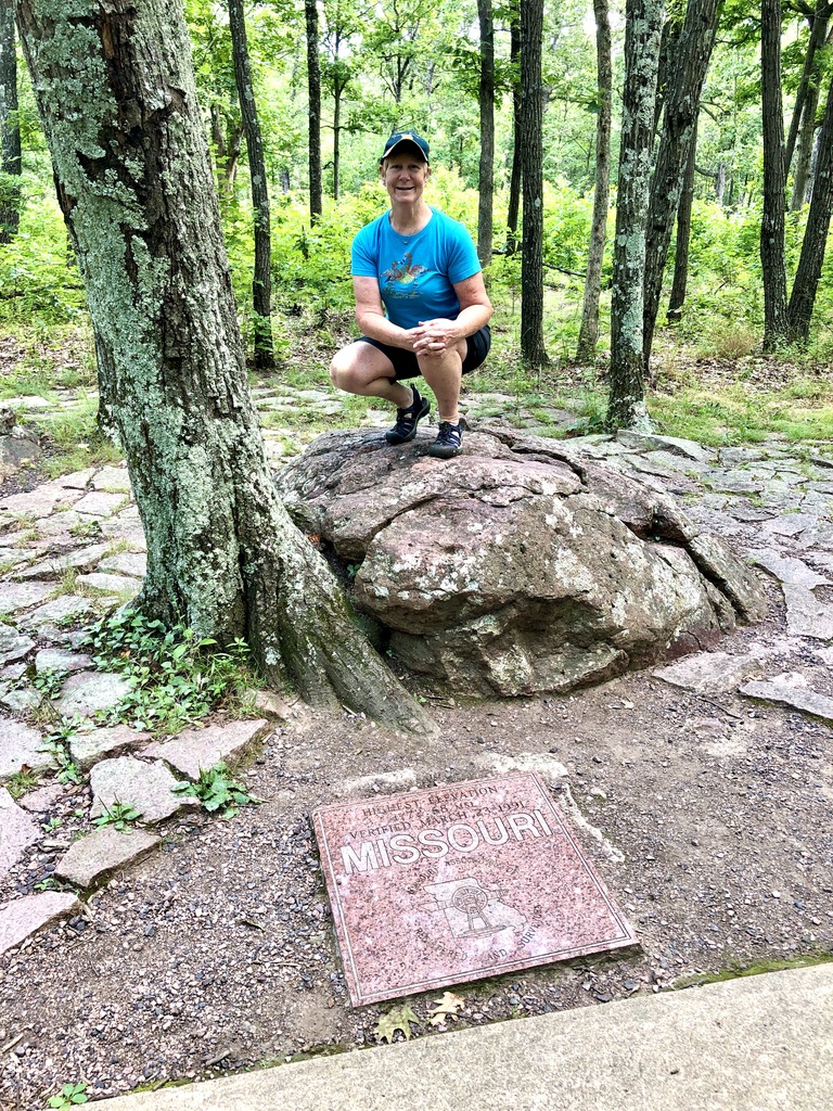
At a well worn spot on the map.
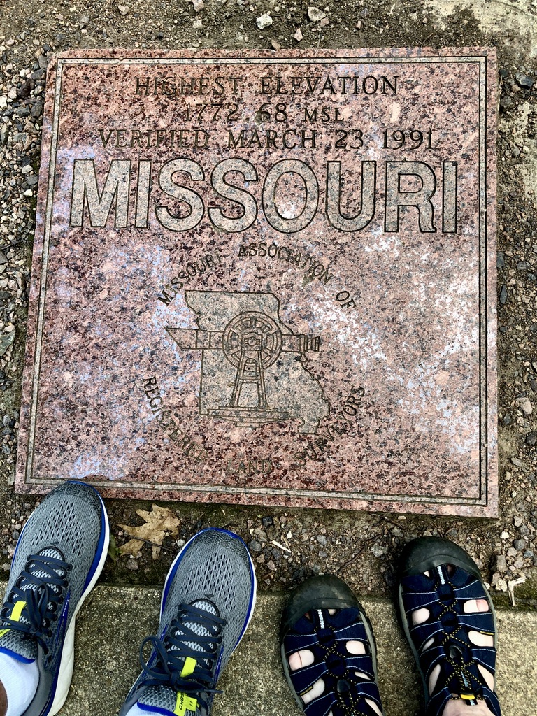
Highest Elevation, 1772.68 MSL, Verified March 23, 1991.
CBH @ Taum Sauk Mt.
HSH @ Taum Sauk Mt.
Higher than the Gateway Arch.
Our thanks to the Missouri Association of Registered Land Surveyors.
Last time at the neighboring Shut-Ins, we wound up with a kid in the emergency room...