State High Point # 10

Campbell Hill, Ohio
1,549'
November 25, 2012


In the aftermath of our 2012 Appalachian Trail thru hike, we posted the following as part of our original Trail Journals report:
Two months after the finish (Sunday, November 25th), a slight course correction: This past August 1st, we ended N’s Connecticut convalescence with a walk out of Salisbury and into Massachusetts. Six miles into the day’s hike and just before the state line, we reached the partially collapsed rock observation tower atop Bear Mountain. Dating back to before the last century, the pyramidal tower was constructed in the style of old Connecticut stone fences, from 350 tons of stone laboriously hauled to the summit. After a ninety year struggle with deterioration, with restoration efforts hampered by the lack of road access, the eastern corner of the tower disintegrated in 1978. Today the tower’s original stone tablet is set in the stabilized ruins:
“THIS MONUMENT
MARKS THE HIGHEST
GROUND IN CONNECTICUT
2354 FEET ABOVE THE SEA
BUILT A. D. 1885
OWEN TRAVIS
MASON”
Based on that information, when describing our hike, we had been telling folks that of the 14 states we passed through along the AT (15 states, if you count the state of exhaustion), we reached the highest point in seven of them.
However, after a little more research, we learned we had been in error: Although Bear Mountain has the tallest peak in the state at 2,316 feet [note the 1885 plaque’s inscription quoted above overestimates the actual height of the summit by 38’], the highest point in Connecticut is 2,380 feet and is located on a mountainside of Mt. Frissel, whose 2,653 foot peak is in Massachusetts. So, while Bear Mountain rewarded us with breathtaking views and provided a great place to eat lunch , it did not give us that seventh state high point on the AT we’d been claiming, or counting our training hikes on Mississippi’s imposing Woodall Mountain (at elevation 806’ above sea level), the total of eight such high points we thought we’d achieved in 2012.
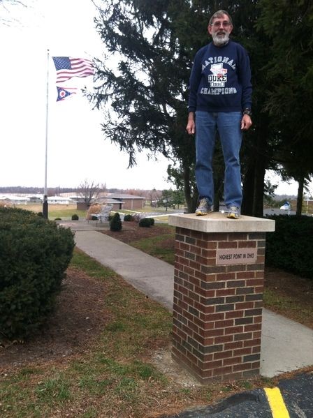
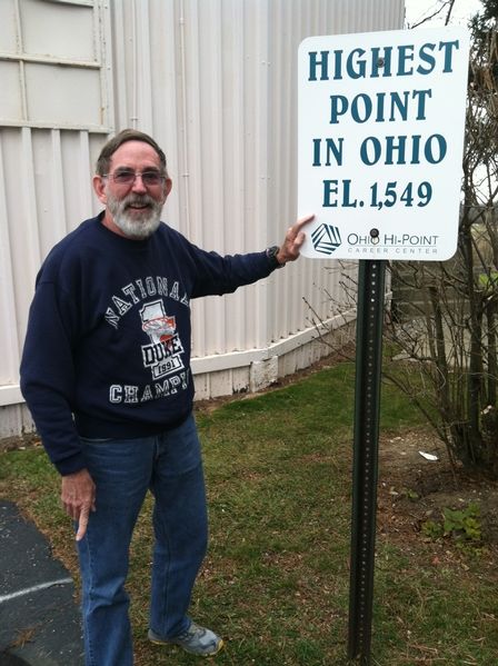
Since our discovery, that downsizing correction has increasingly grated on N, and although a return trip to Connecticut any time soon was not possible, a trip to visit our son in Dayton for Thanksgiving gave him the opportunity to mark the second month’s anniversary of our hike completion by reclaiming his state high point #8 for the year, this time on Ohio’s Campbell Hill.
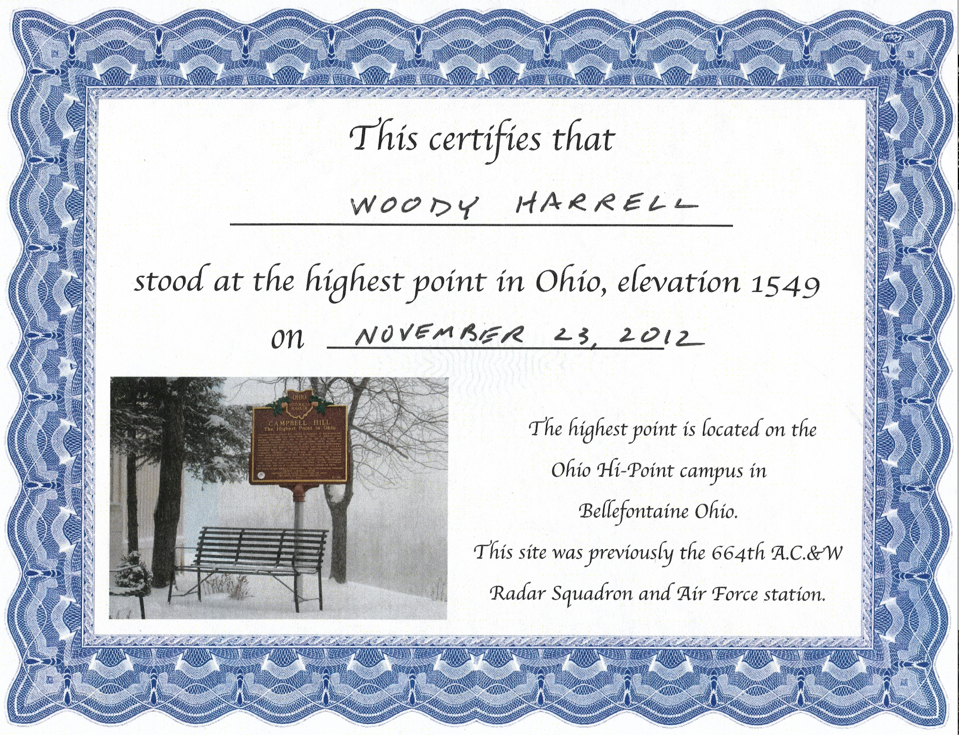
On a raw, windy afternoon, while X took in the Dayton Art Institute, N made the exciting hour long drive north with our two sons. This road trip was certainly the highlight of his holiday weekend. Reaching 1,548 feet, and located just east of Bellefontaine OH, Campbell Hill is a highpoint among relatively flat farmland. Although Campbell Hill rises 300 feet from the surrounding area, with its large width, that rise in elevation is not evident from any reasonable vantage point. Formerly a Cold War early warning radar station, the site today is occupied by the Ohio Hi-Point Career Center. And although the hill is only 43rd in height of the 50 state highpoints, one would have to travel 169 miles as the crow flies to reach a nearby higher peak. By comparison, a higher summit than Katahdin can be found within only 158 miles of the mighty Baxter Peak.
And finally, Thanksgiving provided the first real threat to our post-thru-hike weights, with the Troverts adding a collective 4.2 pounds over the holiday, mostly by N. We’ll have to get that slippage taken care of before our third month completion anniversary, which will fall on another major food holiday…