As a run-up to my 77th birthday, we headed to the great plains to climb the highest peaks in both North and South Dakota. Other than on visits to all of the nearby national parks, we had not previously spent much time in this neck of the woods.
The last 15 months spent living with acute myeloid leukemia has driven home the point I am now at best a semi-retired confluence hunter, and my best days with this hobby/obsession are behind me. However, we could not help but notice that once we left I-76 and turned north at Sterling CO, until our return to the Denver airport, we would be in the vicinity of the 103rd meridian, a longitude we had not previously documented.
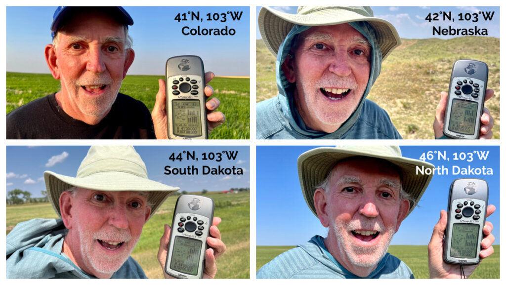
Closer study revealed adding on to our core itinerary, it would not only be possible, but entirely reasonable to visit four different latitude crossings of 103°W on four different days, in four separate states (41°N, 42°N, 44°N, & 46°N).
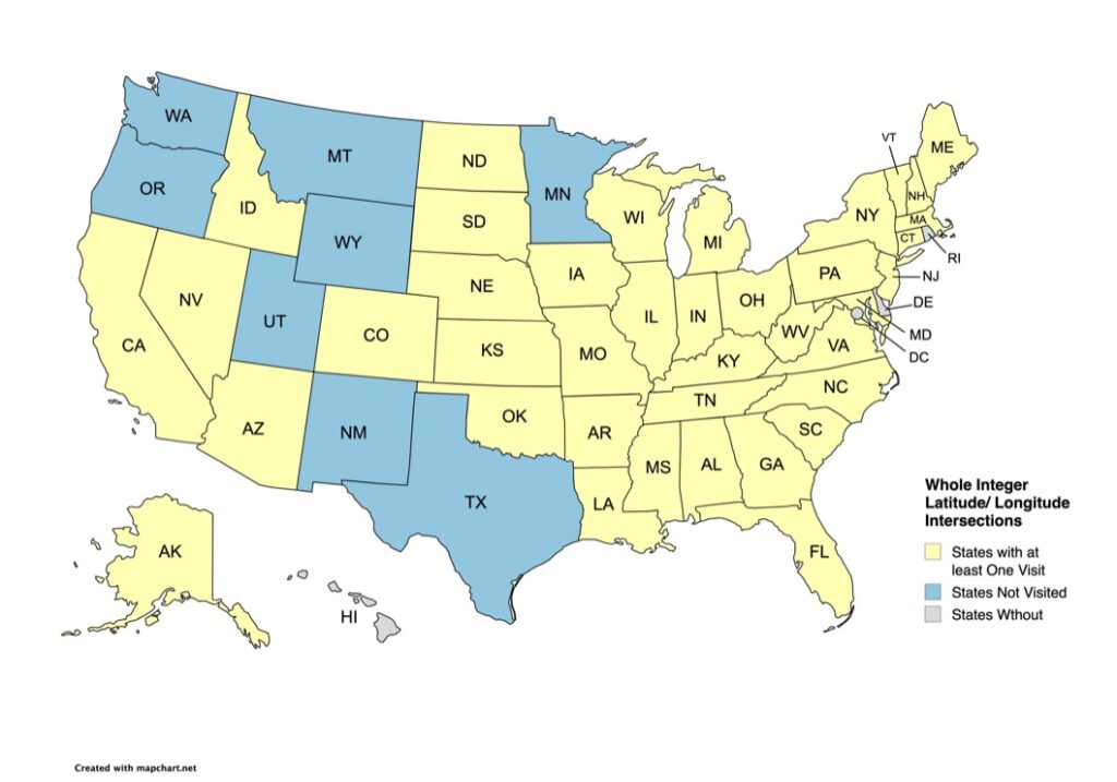
Previously, Degree Confluence Project stalwarts Gavin Roy, Ross Finlayson, and Joseph Kerski have recorded nine trips to these four points, so they are all well documented (Joseph Kerski has visited all four, two on multiple occasions). However, the most recent visits at each were pre-Covid pandemic, 2019 or earlier. The time seemed propitious for an update! And with my success this trip, I now have visited a confluence in 39 of the 47 states containing one.
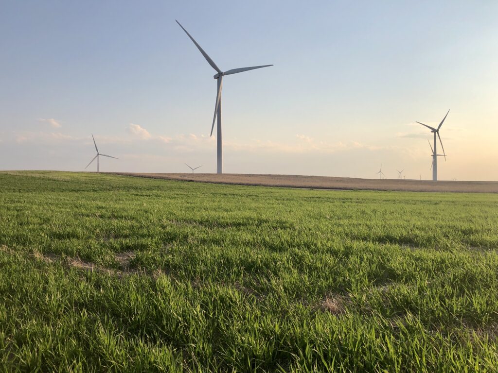
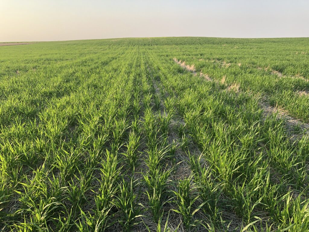
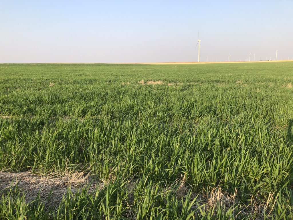
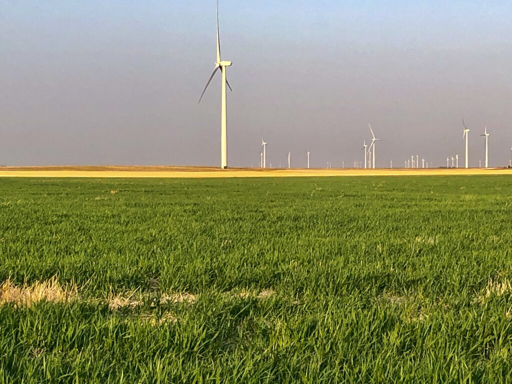
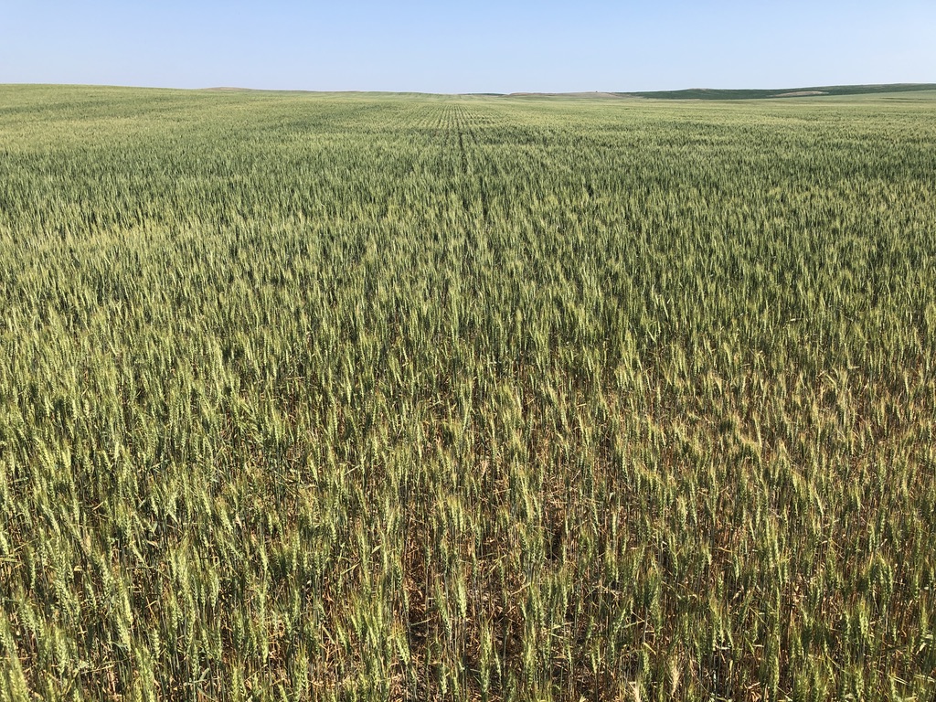
41°N 103°W, looking southwest towards wind turbines across Colorado Road 61.
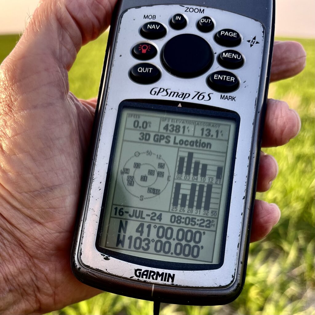
GPS: 13.1’ accuracy, 4,381’ elevation at 41°N 103°W.
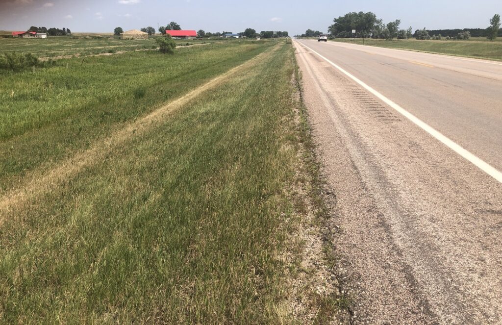
Looking north towards Nebraska (1/10 mile), from 41°N 103°W.
Looking east from 41°N 103°W.
Looking south from 41°N 103°W.
Looking west from 41°N 103°W.
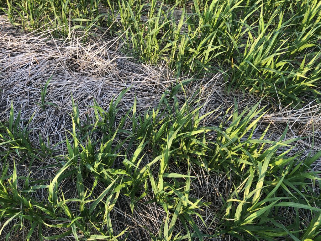
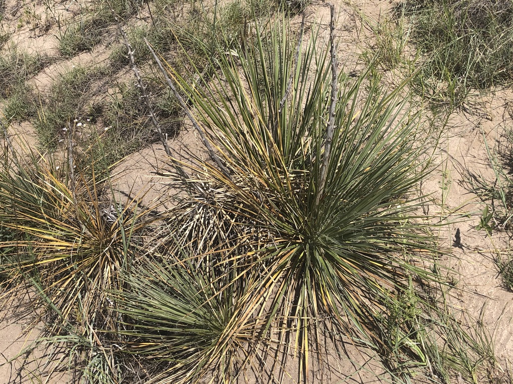
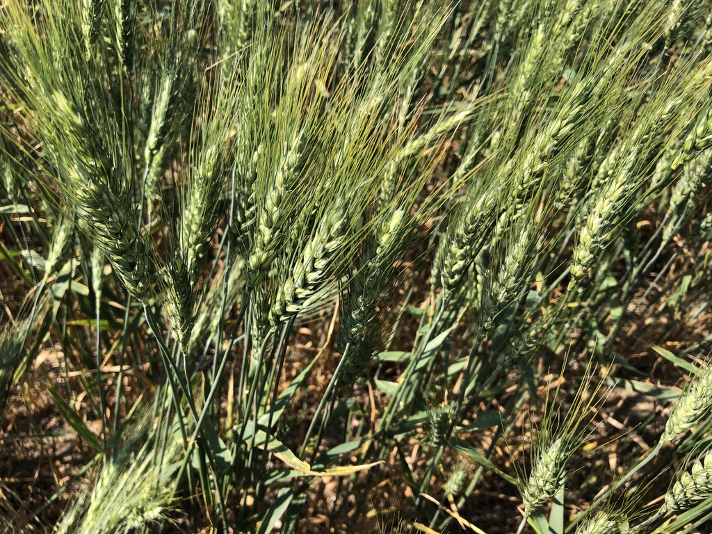
Fresh ground cover at 41°N 103°W.
Perhaps a few more wind turbines to the east added in the last five years?
Our journey to 41°N, 103°W begins in Mississippi:
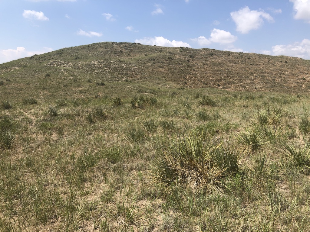
After an early morning drive to the Memphis airport, airline schedule changes and weather delays conspire to put us in a rental car later than we originally expected. It’s already late afternoon as we head northeast on the interstate. Past Sterling, we turn north on Colorado highway 113. After the town of Peetz, right angle turns onto gravel roads take us right on CO 78, then left on CO 61. We coast to a stop at the 41st parallel. The confluence is a short walk to due east into a field. Satellite reception is so good, no GPS dance is required.
The late afternoon sun baths the fields in rich colors. The only sound is from the spinning of the nearby wind turbines (a friend back home texts us as a child she called them “winter-bines”), erected after the turn of the century, and the major change from the view during the first DCP visit in 1999. After spending a long day in cars and on planes, we were tempted to linger a while, but we were “burning daylight,” and still had work to do.
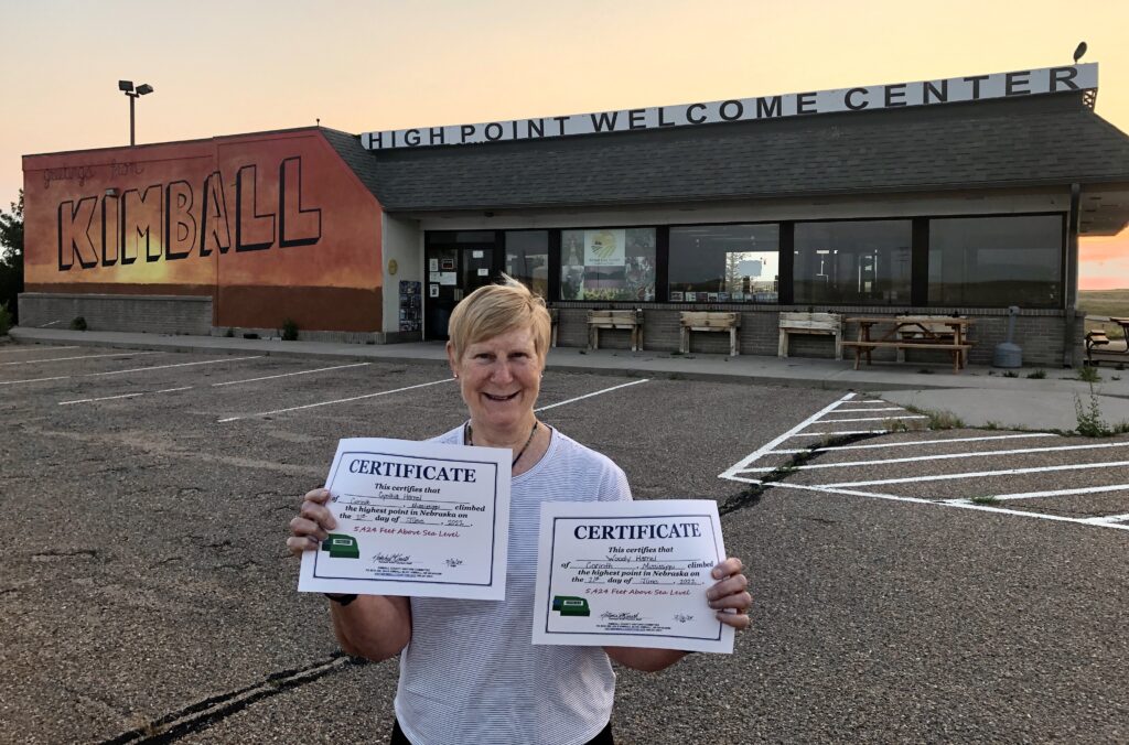
In 2022 we ducked in and out of Nebraska to visit (i.e., “bag”) the state’s highest point, Panorama Point at 5,424’. We recently learned the appropriately named “High Point Welcome Center” in nearby Kimball will present an official document commemorating such a feat. We contacted the staff and learned the facility would be closed as we passed through, however, they agreed to prepare certificates for our state highpoint #33 and leave them in an outside rack. We arrived to retrieve them just before sunset. What a feeling of success to be officially certified!
An hour later, we ended our long day in Gering, NE.
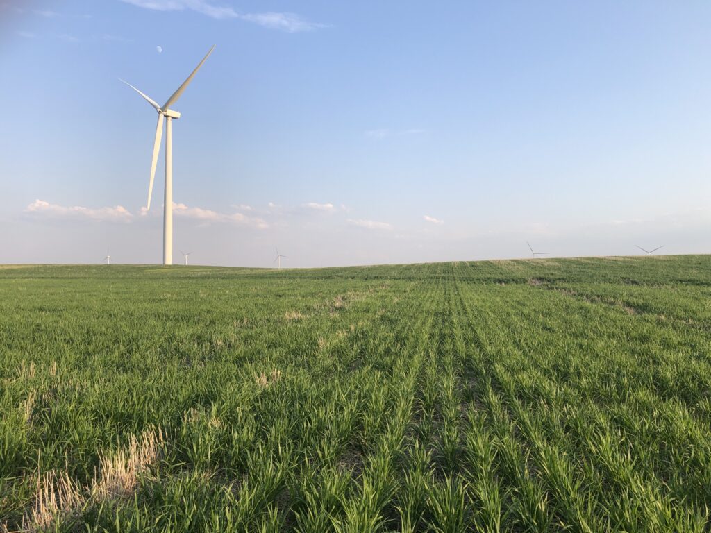
Tiny moon almost eclipsed by wind turbine blade at 41°N 103°W.
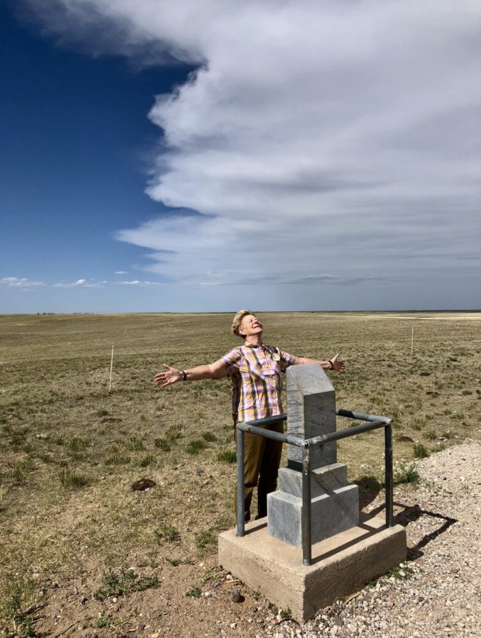
June 21, 2022: Cynthia parts the clouds at Panorama Point, located about 50 miles almost due west!
The Kimball Welcome Center certifies our 2022 Nebraska highpoint.
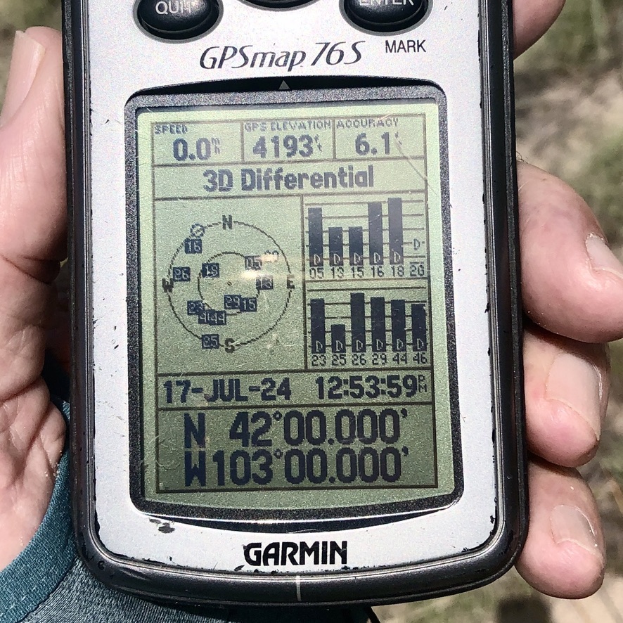
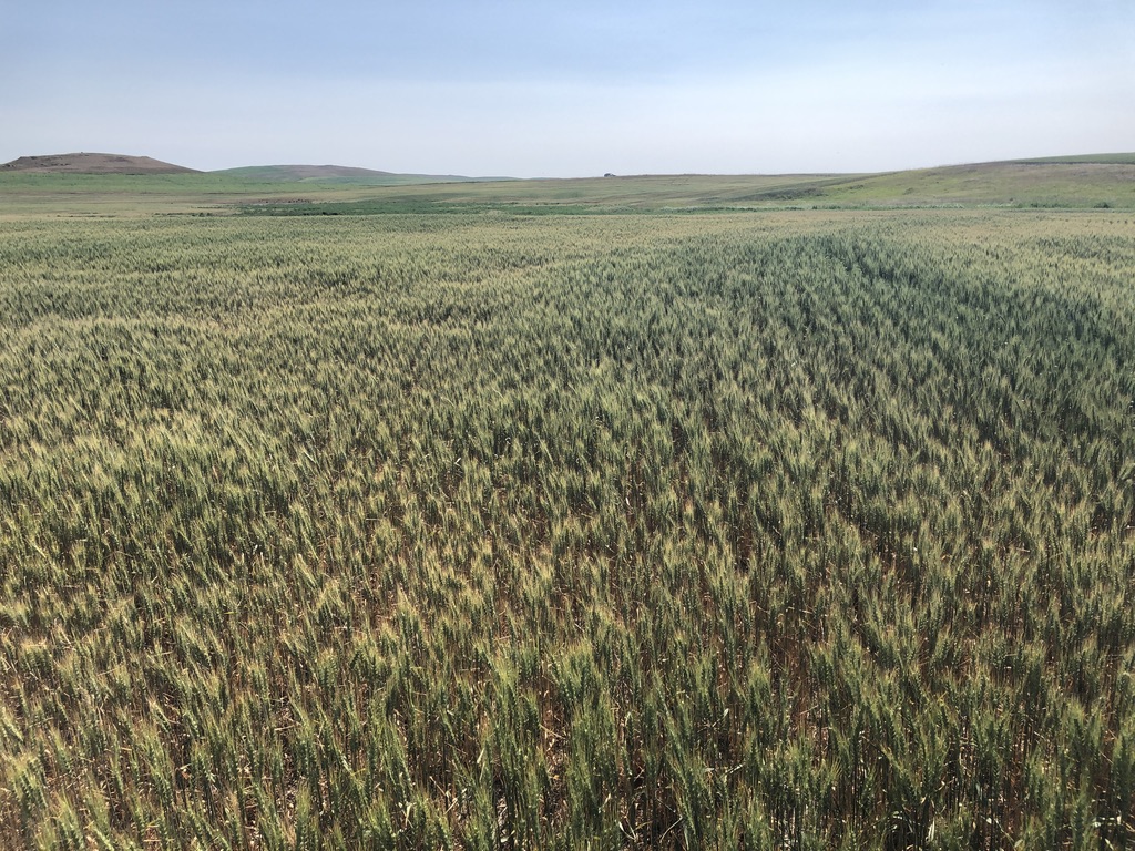
GPS: 6.1’ accuracy, 4,193’ elevation at 42°N 103°W.
Looking north, from 42°N 103°W.
Looking east from 42°N 103°W.
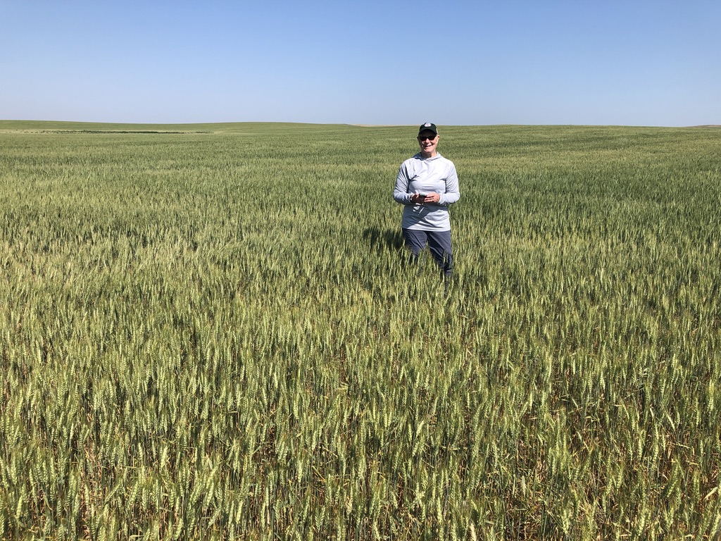
Looking south from 42°N 103°W.
Looking west from 42°N 103°W.
Our Day 2 began in Gering NE, where foggy conditions quickly scuttled our sightseeing plans for Scotts Bluff National Monument and Chimney Rock National Historic Site. Instead, we headed east to US 385 (the “Heartland Expressway”), where we turned northeast.
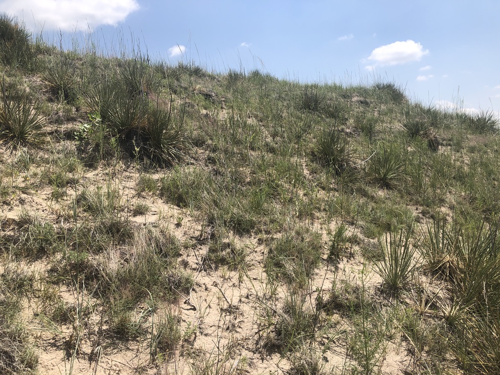
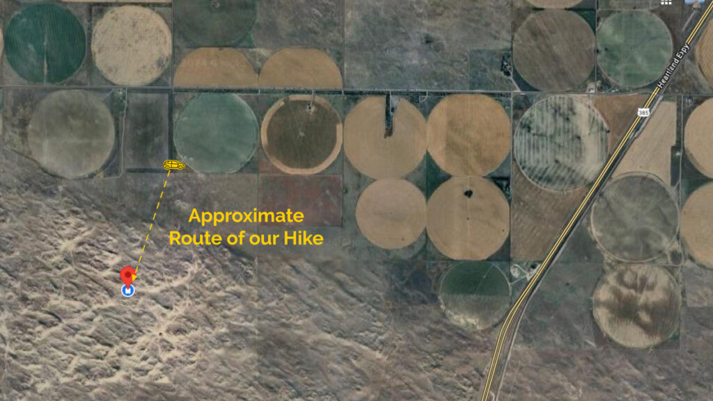
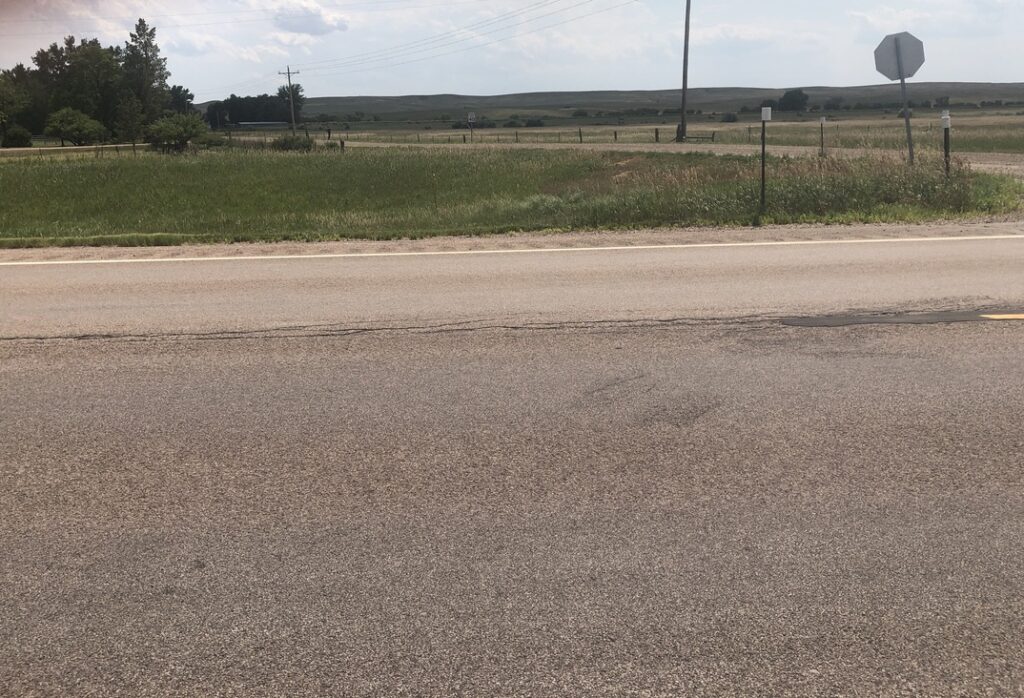
Just past 42°N and after entering Box Butte County, Wayne Road parallels the county line as it heads west. The south side of Wayne Road features a few residences and a number of irrigation circles. Further south are grazing fields, those closest to the road containing a goodly number of cattle. In my younger days, I supported the “easier to get forgiveness than permission” school of thought, but lately I have moved more to the “get permission” camp. We therefore began knocking on the doors closest to the confluence point. Unfortunately, we found no one home. We gazed longingly down a few farm roads, looking for one that might be “cattle-free” until the sandhills. The most promising one was also the only one with “No Trespassing/No Hunting” signs; and although the tree to which the signs were attached had long since given up the ghost [Photo 8], we decided to err on the side of caution and save this point for another day.
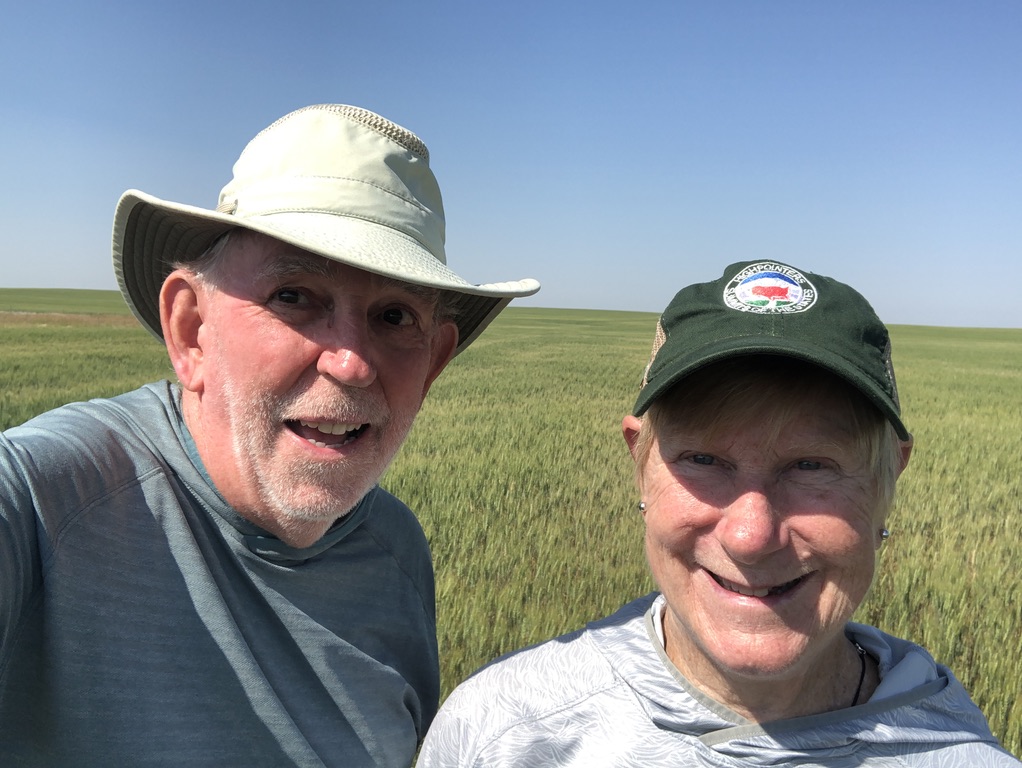
Very disappointed, we stopped at a local coffee shop just up the road in Alliance. A young man’s question “What brings you here from Mississippi?” led to a discussion of our abandoned mission (“Oh, you mean like geocaching?”), followed by “I have a high school friend who lives on Wayne Road, let me give him a call. And if he can’t, my mother knows everybody…” By the time Cynthia had finished her coffee, and after numerous phone calls, we had received everyone’s collective blessing, and we were back south on US-385 for a Second Attempt.
180° panorama to the south of 42°N 103°W.
Turning south off of Wayne Road, we followed a farm road about a mile south, parking at the first gate we encountered.
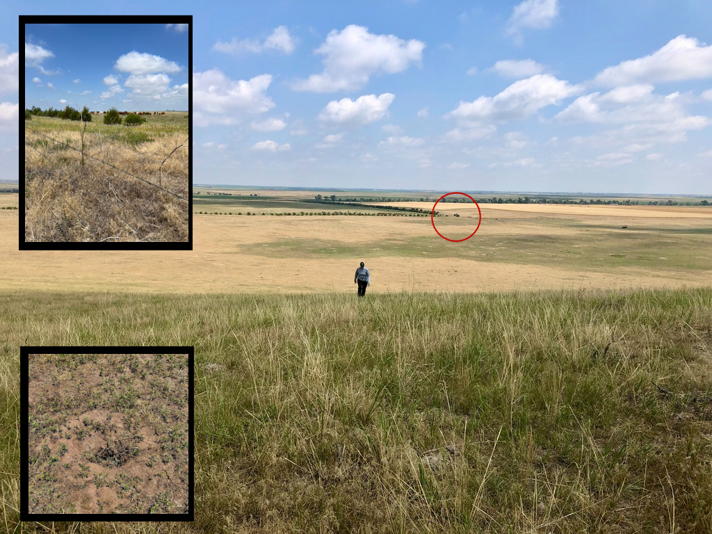
After parking the car (circled) and crawling under a barbed wire fence, the first half of our hike was across a flat area where we were serenaded by the yipping bark of prairie dogs
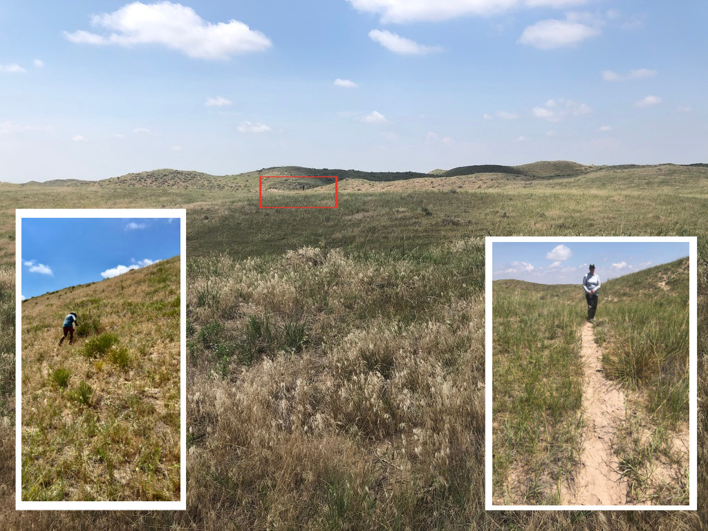
We then started hiking into the sandhills. The red box shows the second barbed wire fence we headed for, after which the hills got a little steeper.
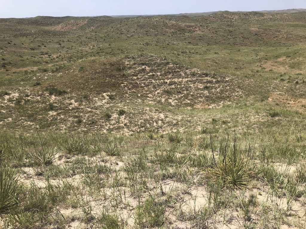
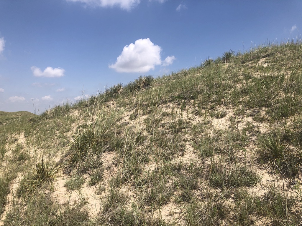
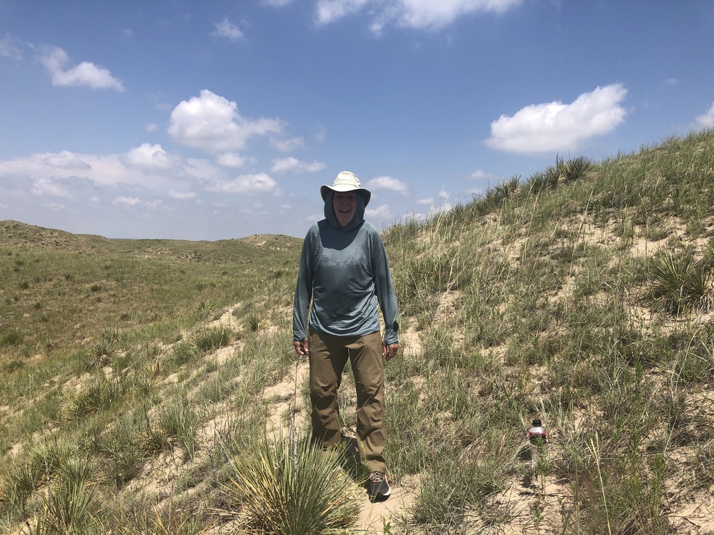
The cow paths were numerous, giving the landscape a terraced look. Some of these paths were well established, but none of them seemed to go in the direction we needed. Climbing the last ridge was difficult due to the heat and steep, backsliding sand, but we found the confluence point just over the top, on an equally steep south-facing slope.
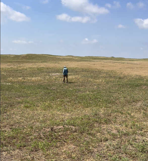
The steepness and soft sand made the GPS dance problematic, but patience and very small correcting steps rewarded us with all zeroes and accuracy just under two meters. A low yucca plant seemed to mark the exact location. The bright sun (which my doctors now tell me to avoid!) made the 80°F temperature seem warmer, but at least the heat was tempered by a slight breeze. The only sound was the mooing of the few distant cattle in this section, who were attracted by our presence.
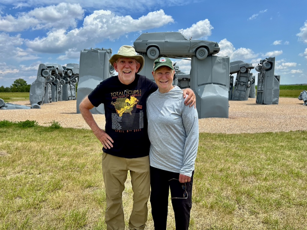
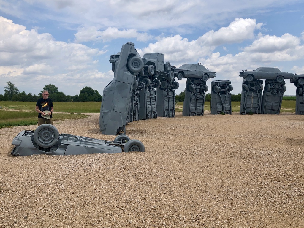
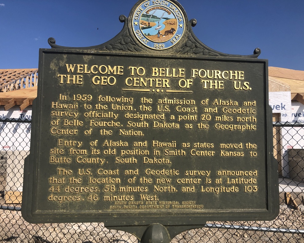
Now way behind schedule, we did not tarry long. We still wanted to stop at the iconic, uniquely American, Carhenge, just outside Alliance; and both the city (Belle Fourche, SD) and country version (“Middle of Nowhere, SD”) of the “Geographic Center of the United States.
Another long day ended in Bowman, ND.
Avoiding prairie dog holes in the first pasture.
42°N 103°W is just over this ridge.
The GPS guarantees this plant is within two meters of 42°N 103°W.
A very warm sunny day on Nebraska sandhills.
A stop at the nearby iconic Carhenge, just northeast of Alliance, Nebraska.
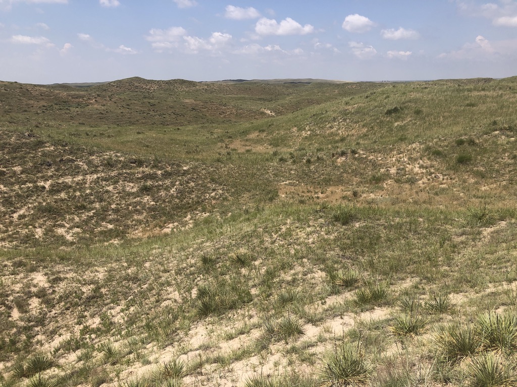
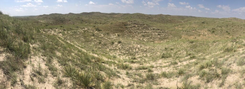
Hiking across the wet weather drainage towards 46°N 103°W.
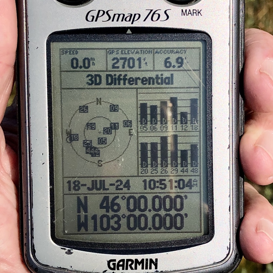
GPS: 6.9’ accuracy, 2,701’ elevation at 46°N 103°W.
Looking north, from 46°N 103°W. North Dakota, “where the wind comes sweepin' down the plain…”
Looking east from 46°N 103°W.
Looking south from 46°N 103°W.
Looking west from 46°N 103°W.
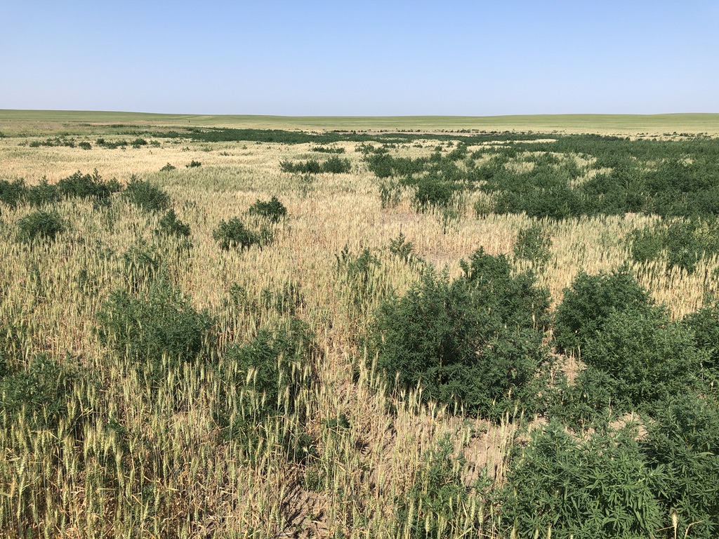
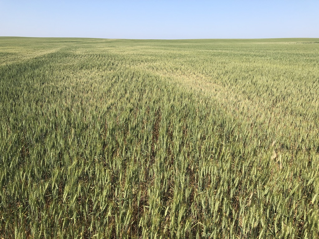
Ground cover – “and the wavin' wheat can sure smell sweet…”
The first documented dry weather visit to 46°N 103°W.
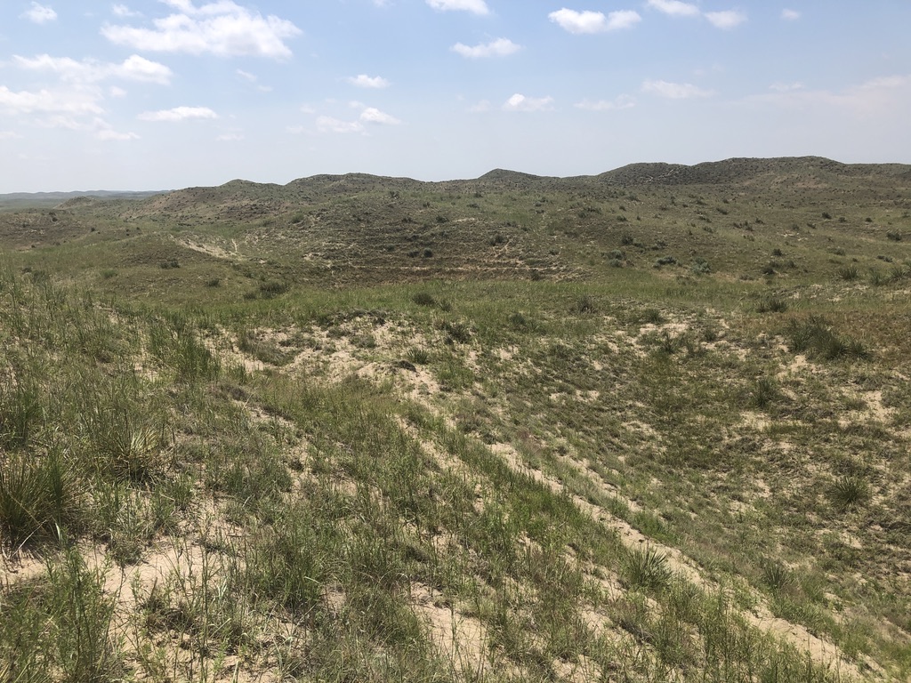
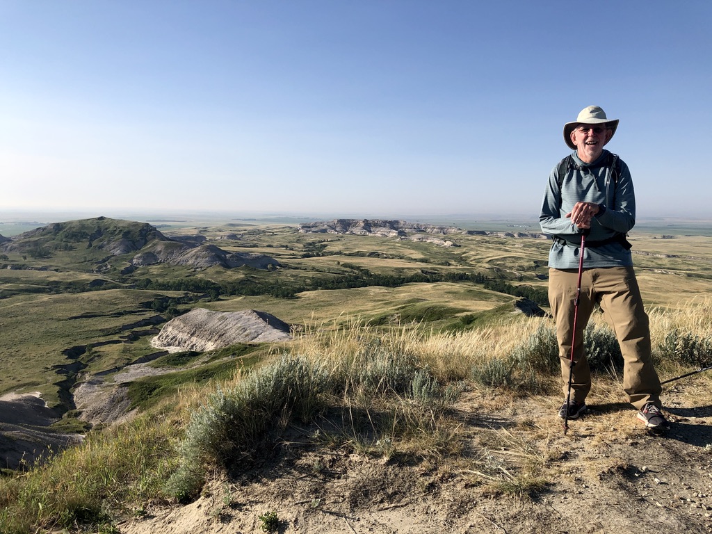
Our Day 3 got an early start in Bowman ND, as we headed north to White Butte, at 3,506’ above sea level, the highest point in the state. The parking lot and trail have recently been improved, and that, plus the ideal morning weather, made for a very pleasant one mile hike to the summit. To the southeast we had a great view towards 46°N 103°W, about 800’ lower in elevation.
Leaving White Butte, we made our way south to Scranton on highway 67. There we turned east on US-12, then south on highway 22 at Reeder. Less than ten miles later, we left the pavement with a right turn (west) on Second Avenue Southwest. It was at this point the two previous visits to °N 103°W’s (each over 20 years ago) got interesting: In June 2001, the team of Christiansen & Alcantra had to deal with a thunder and lightning “gully washer” that left muddy roads and a shin-deep confluence point. In February 2004, Joseph Kerski encountered knee-deep snow and -20°C temperatures, the coldest of his 500+ DCP visits. Today we would enjoy the first “dry weather” visit to this location: We found 2nd Ave SW was in great condition. After two miles, we turned north at an impressive sign marking 18th St. SW/ 126th Ave. SW, which was in fact no more than an overgrown section line track. It did however take us north to the 46th parallel, leaving us a short ¼ mile hike across the now dry drainage that had been “at flood” in 2001. On arriving, we took in both the immensity and the isolation one feels on the high plains.
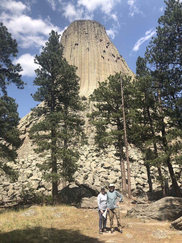
Before we returned to Rapid City for the evening, we detoured by endless miles of gravel roads through Montana and Wyoming to Devils Tower National Monument, where we found the crowds of tourists we had avoided earlier in the day. It was indeed a day of contrasts.
On White Butte, overlooking the North Dakota badlands, towards 46°N 103°W.
In one fell swoop, we raised the total number of DCP visitors to the location in the last twenty-three years from three to five.
Detouring into Montana and Wyoming to circle Devils Tower.
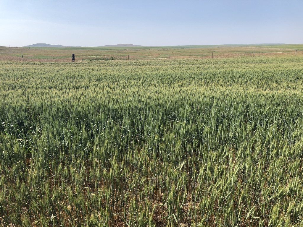
44°N 103°W
July 19, 2024
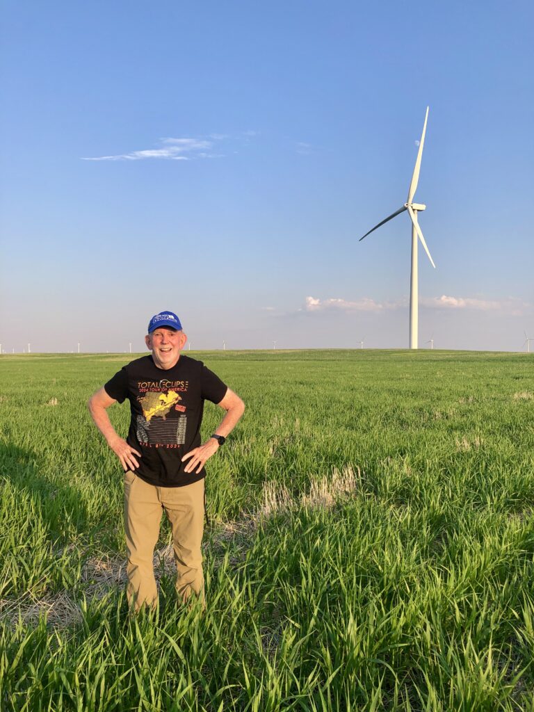
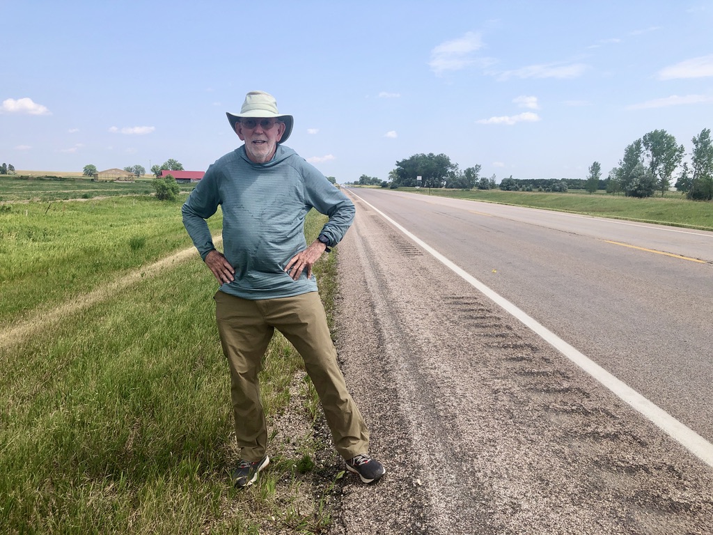
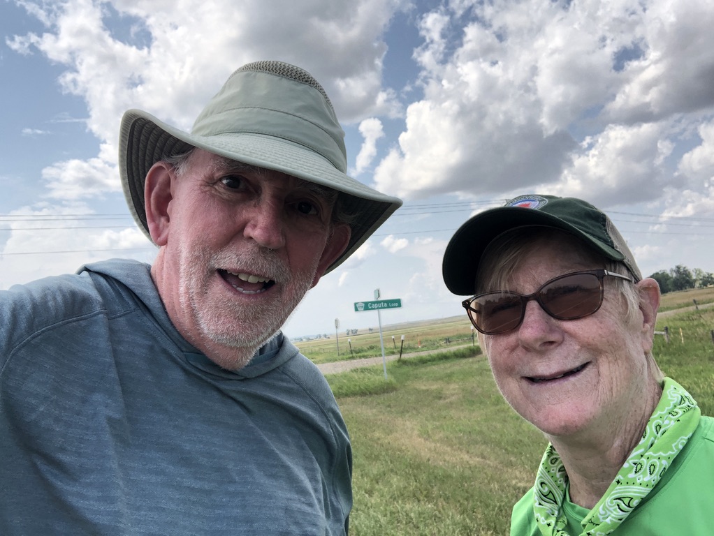
Looking east from 44°N 103°W (photobombed by a semi-retired confluence hunter).
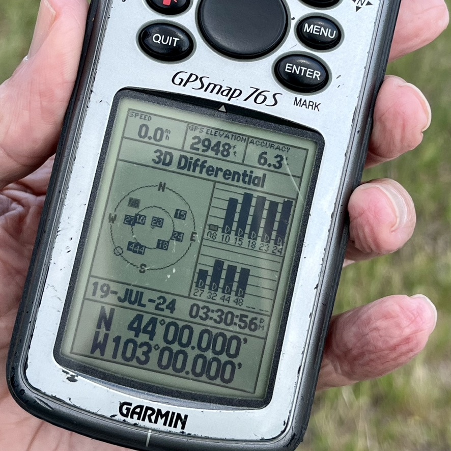
GPS: 6.3’ accuracy, 2,948’ elevation at 44°N 103°W.
Looking north, from 44°N 103°W.
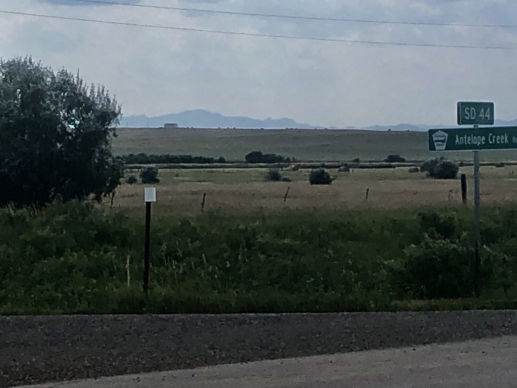
44°N 103°W (looking east and definitely in the SD 44 Right Of Way).
Looking south from 44°N 103°W.
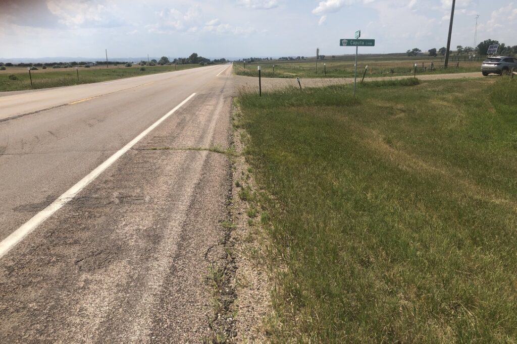
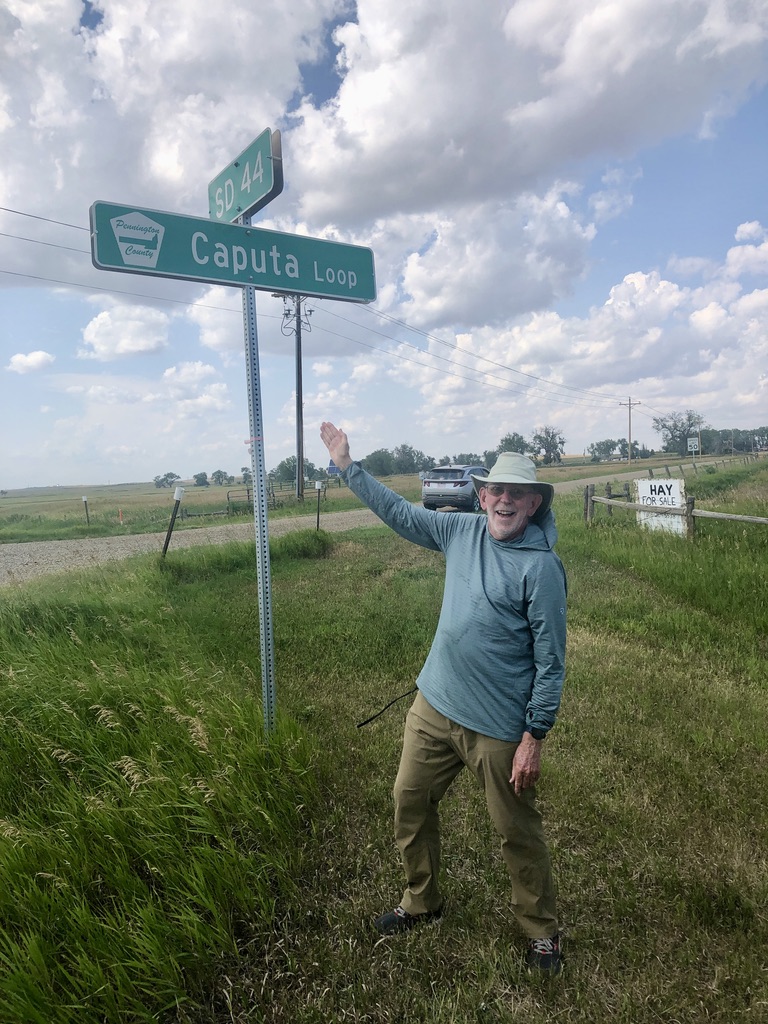
Looking west from 44°N 103°W, to the SD 44 / Caputa Loop intersection).
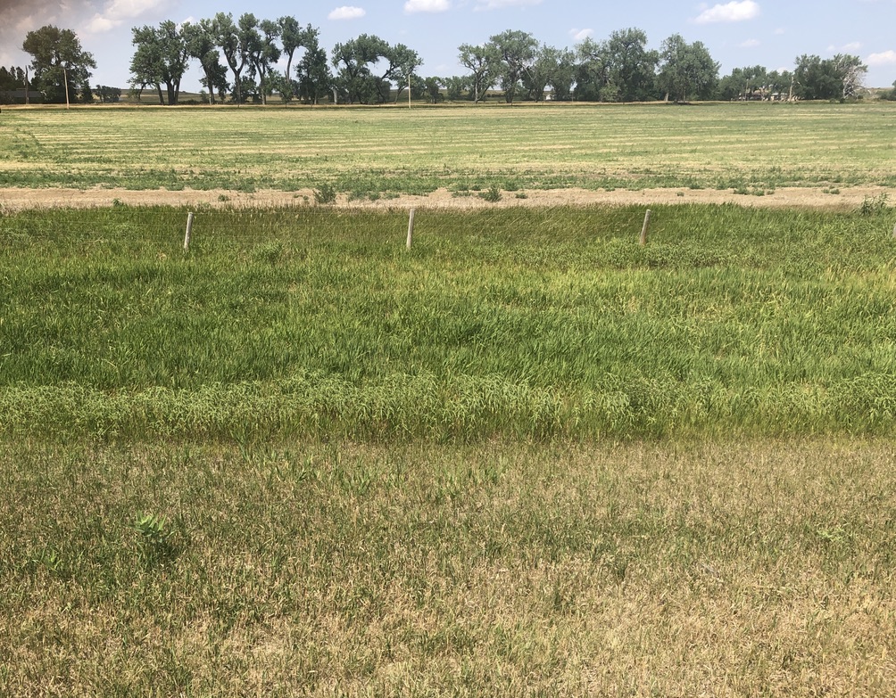
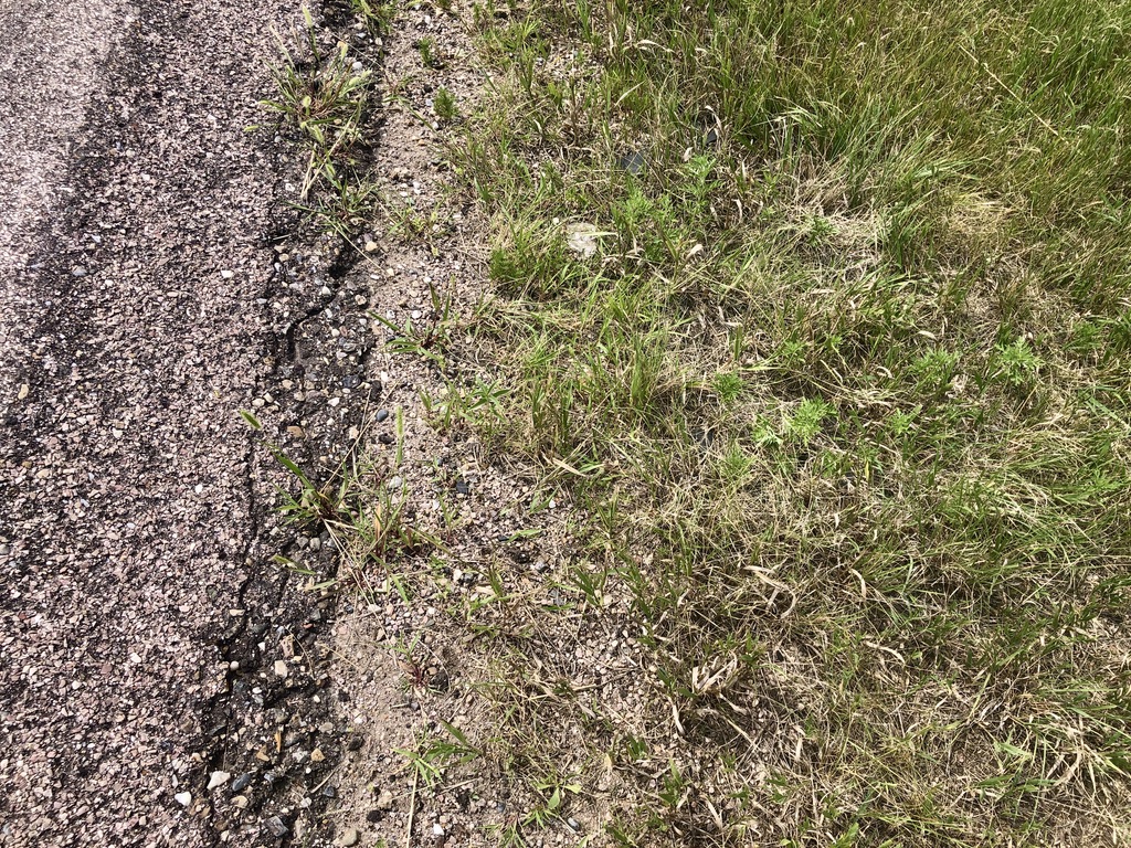
Ground cover (Any closer to the highway and it would be all asphalt!).
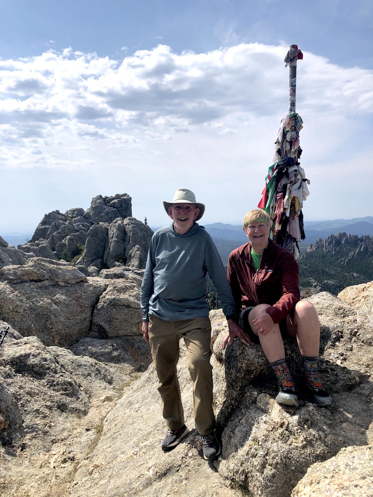
Black Elk Peak, the highest peak in South Dakota, in fact the highest summit between the Rocky Mountains and the Pyrenees Mountains in France, is clearly visible from 44°N 103°W.
We began Day 4 with an ascent of Black Elk Peak (formerly known as Harney Peak), at 7,244’ the highest point in South Dakota. Looking to the northeast from the summit, the lay of the land was certainly flat, but haze prevented us from a clear view of 44°N 103°W. Returning to Rapid City, a slight ten mile detour from our hotel route, southeast on SD 44, brought us to our destination, and the easiest stop of the whole trip. Just before the 103rd meridian, we turned left, immediately parking off to the side of Caputa Loop Road, less than 125’ from the confluence. The strong satellite signal meant there was no need for a GPS dance into the busy highway traffic. From the nearby intersection, we had an unobstructed view to the southwest of Black Elk Peak, now a little over 4,000’ above us.
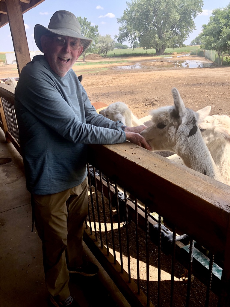
Our DCP work completed, we made one more stop, a scant half mile southeast at 15268 E Hwy 44: the Caputa Alpacas Farm. After we called the number posted on the gate, owner Glenn Lepp came out to give us a tour of his operation and an opportunity to handfeed some of his quickly assembled herd. It was a hoot! Before we left, Glenn’s wife Debbie sold me a pair of alpaca socks for our next confluence adventure. Confluence Adventure? Alpaca my bag!!!
Earlier in the day we could look northeast toward 44°N 103°W from atop Black Elk Peak.
This is not a hard confluence point to find!
“Another DCP adventure? Alpaca my bag!!!”
Four confluences. Four states. Four days. We will now take a rest…